Elevation of Wentworth Dr, South San Francisco, CA, USA
Location: United States > California > San Mateo County > South San Francisco > Westborough >
Longitude: -122.45399
Latitude: 37.6380949
Elevation: 122m / 400feet
Barometric Pressure: 100KPa
Elevation Map:
Satellite Map:
Related Photos:

Askewed view

This is from Potrero Hill

Waiting for the night
My view

Cloudy Seascape

Night Bridge and Its Reflections

Floating homes

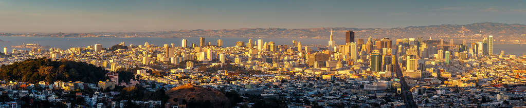
San Francisco Skyline in the Far Distance
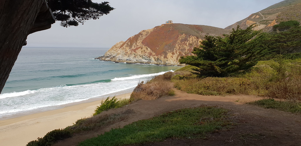
Gray Whale Cove Beach

Pond in Summer

Currents of Light

Grand View Park San Francisco

Southeast View Past Corona Heights

[Rolling...] at San Andreas Lake, San Bruno, CA

San Francisco from Corona Heights park

arrival paths

three ways of getting there

silver terrace exchange ll

San Francisco International Airport Aerial View

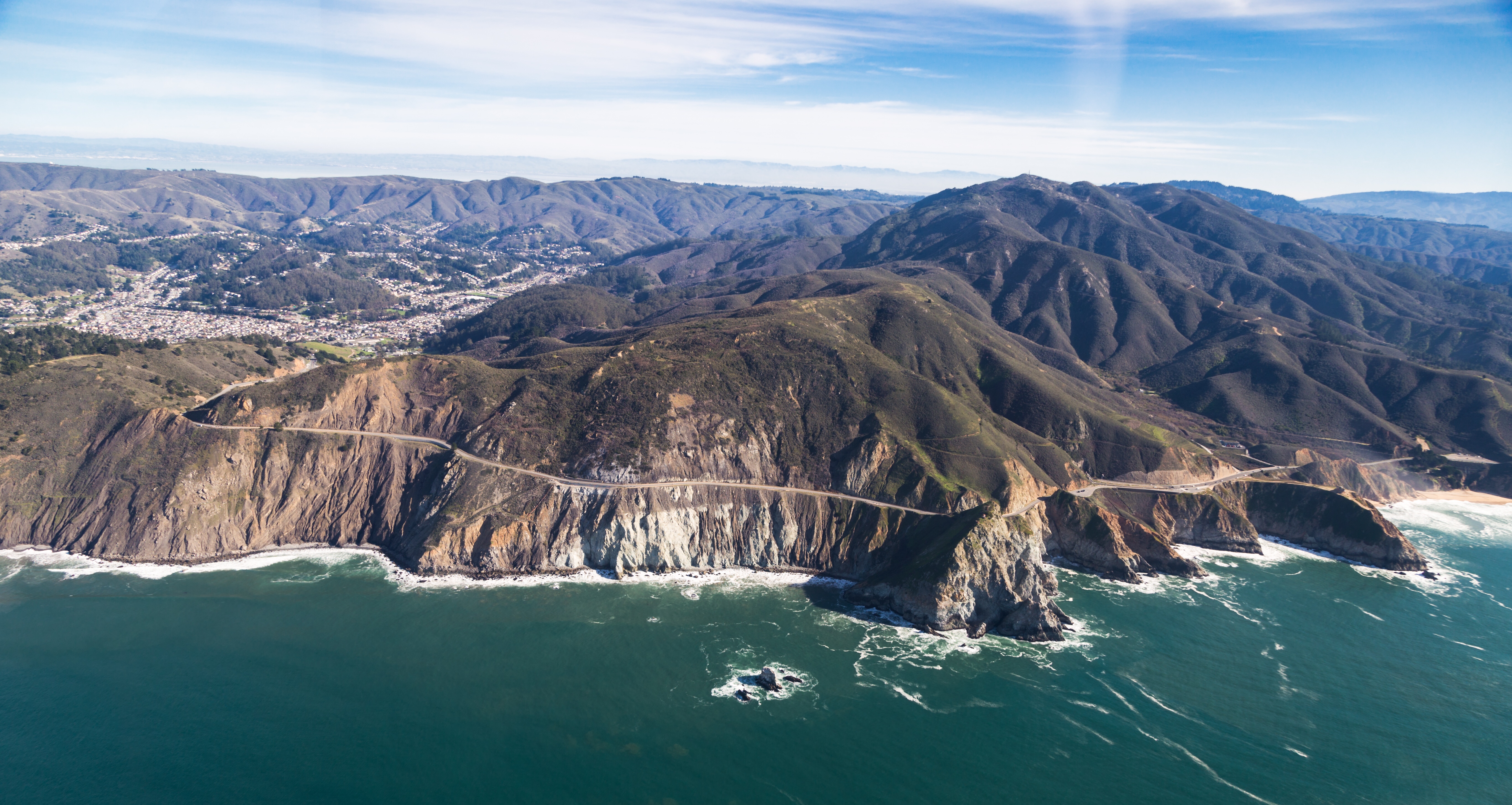
an elevated view

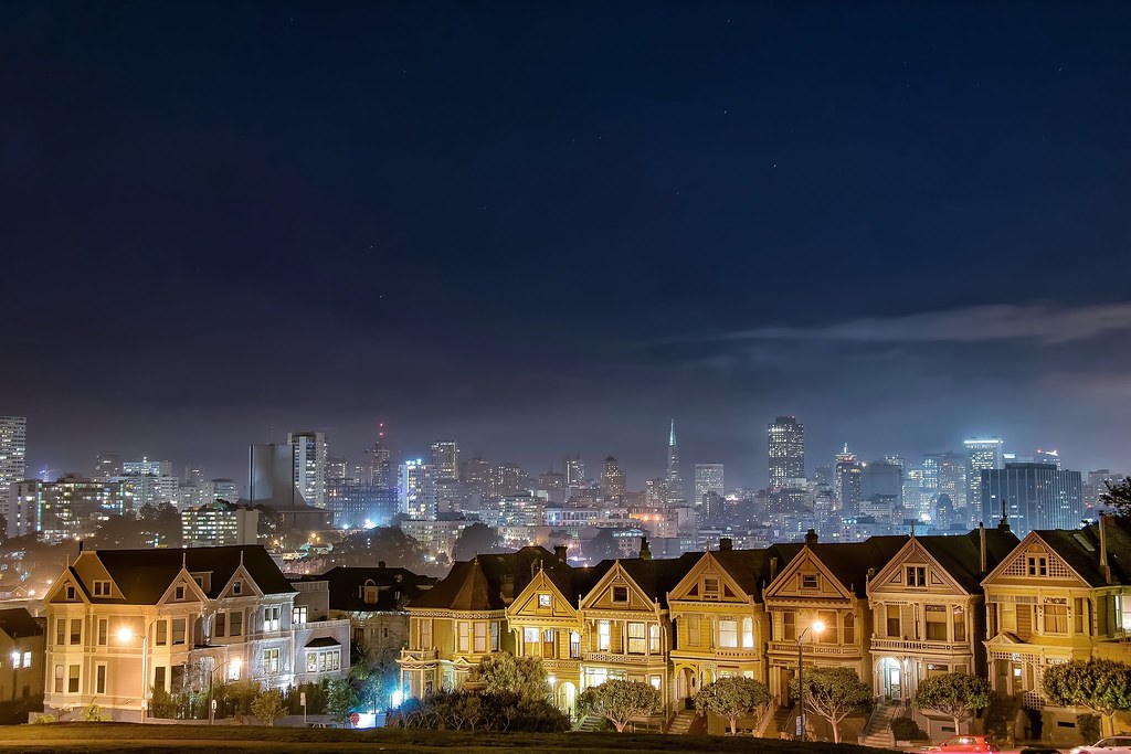
San Francisco night colors
Pacifica, San Francisco

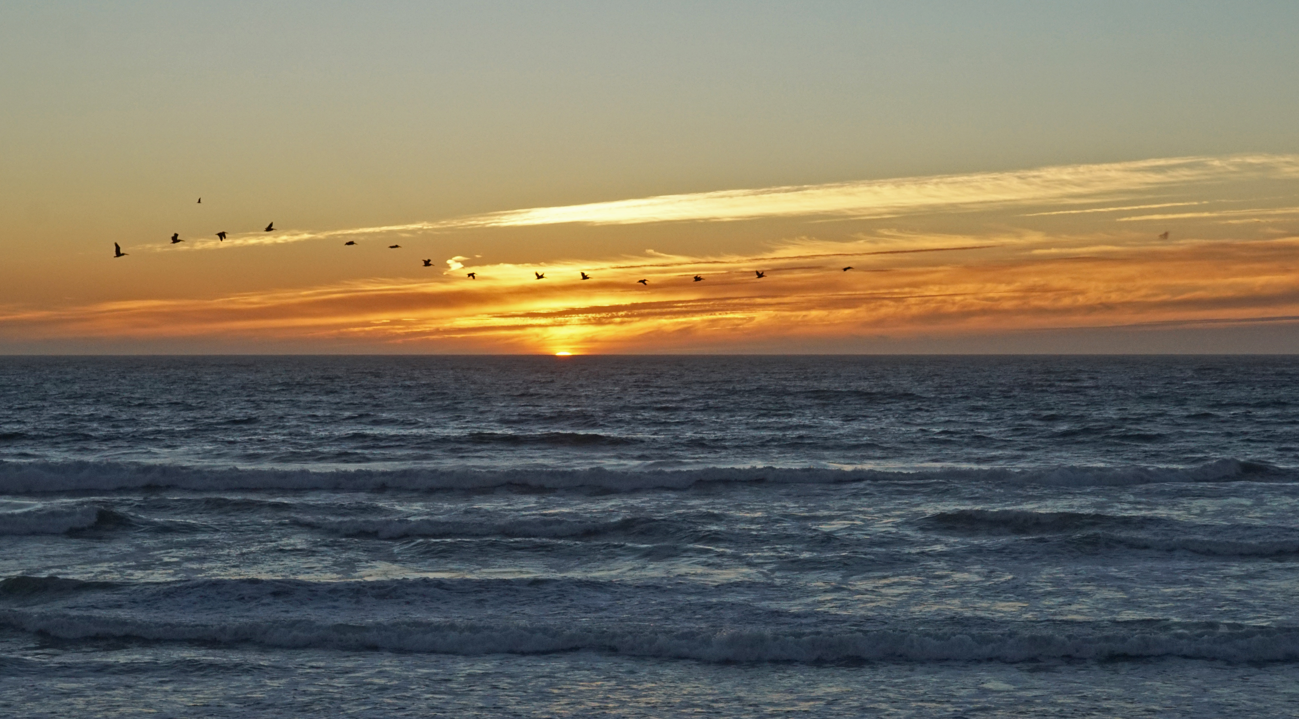
Watching the sunset and dramatic clouds

A Small Pier on the Bay

Early Evening on Saturday
Can I Calm Down the Waves?
Cars Are Prohibited to Go Through Nowadays

San Francisco circa 1969
San Frantastic

Savannah Sparrow
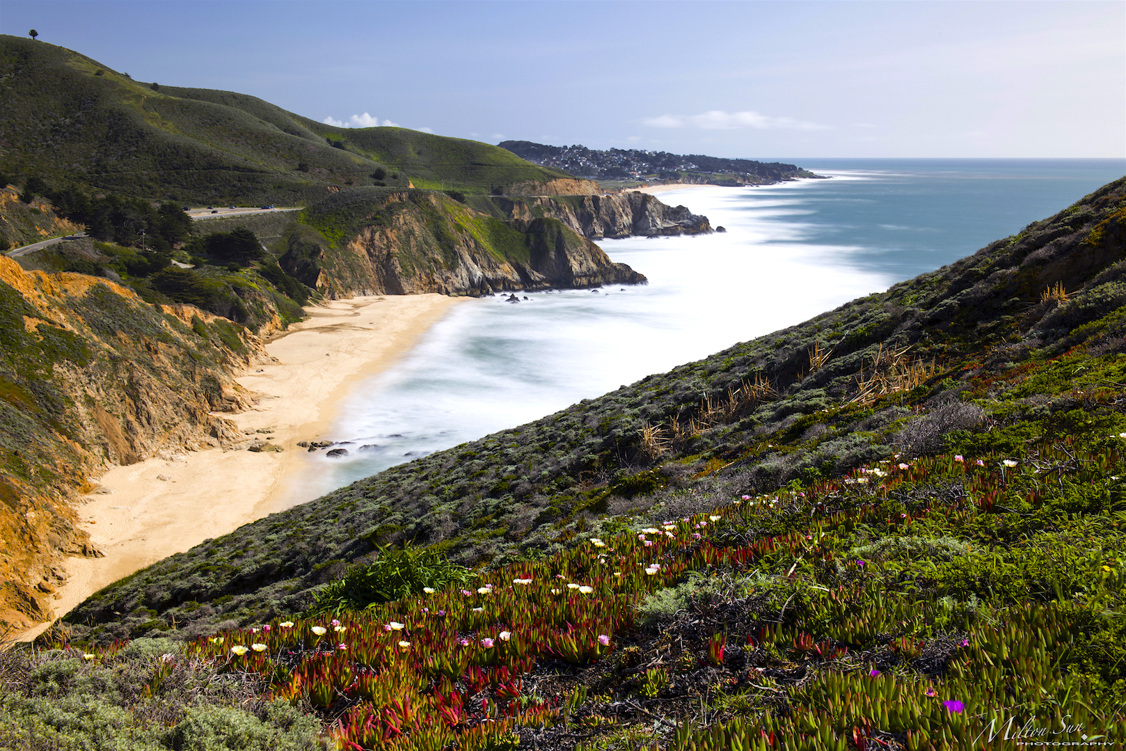
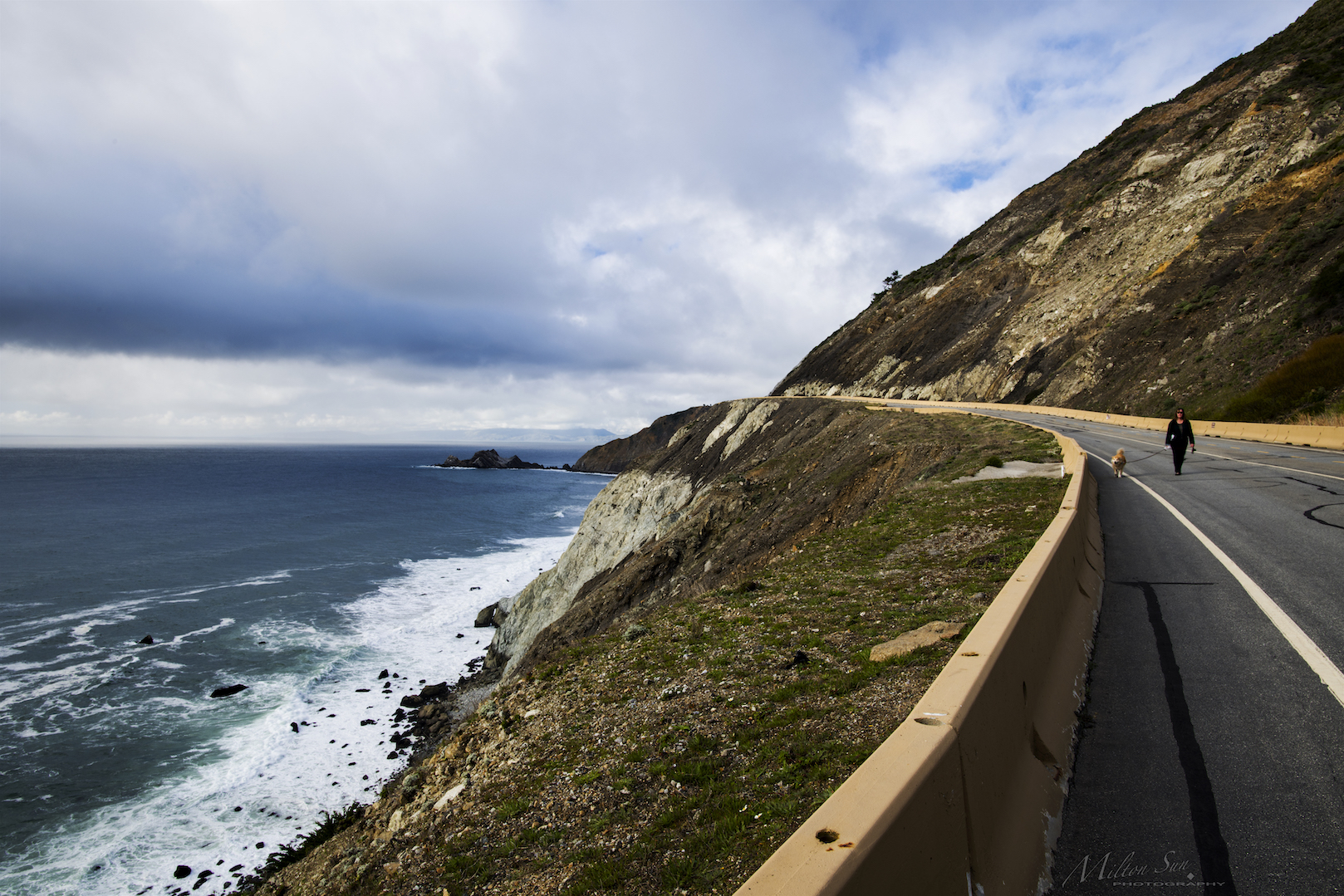
California Coastline

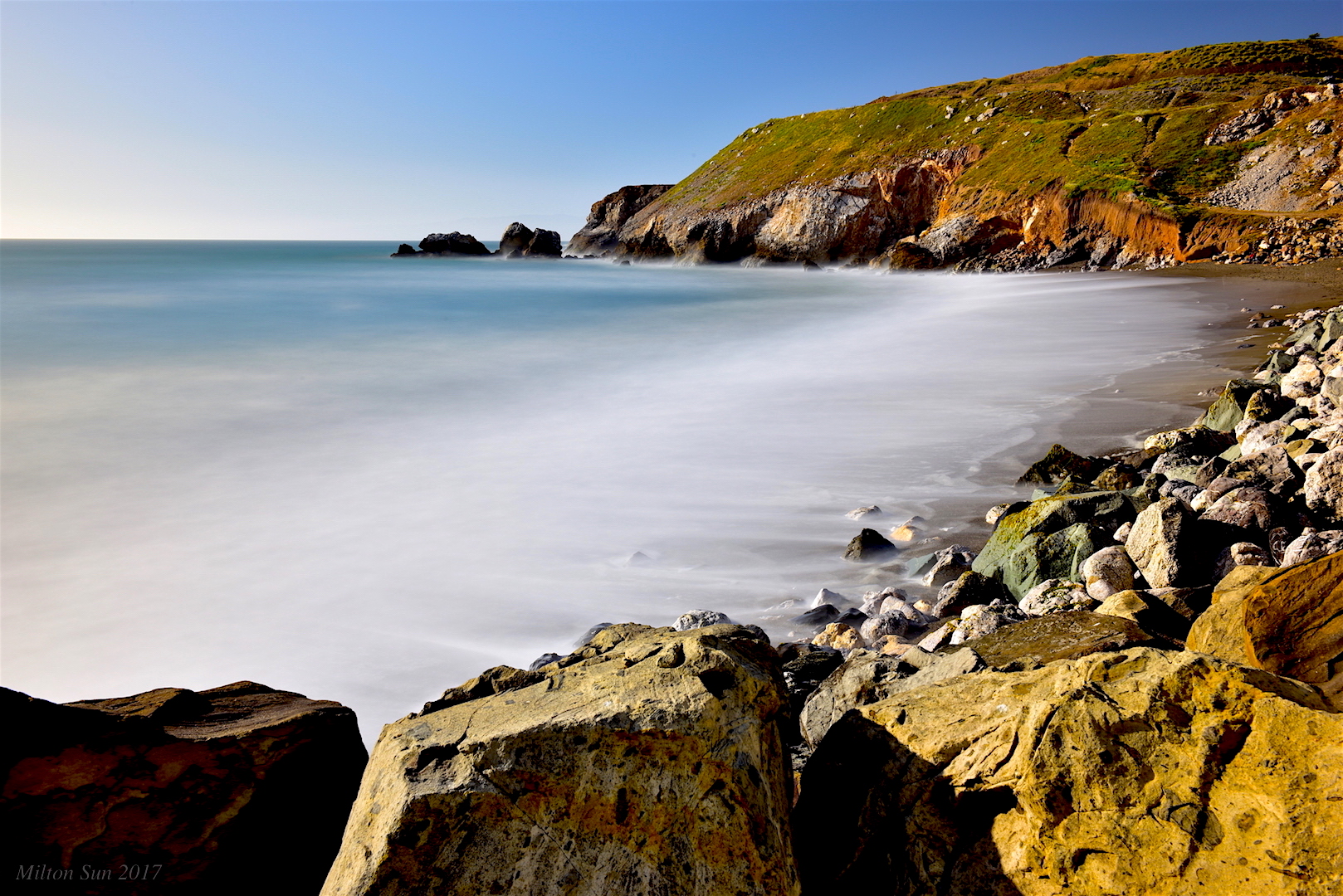
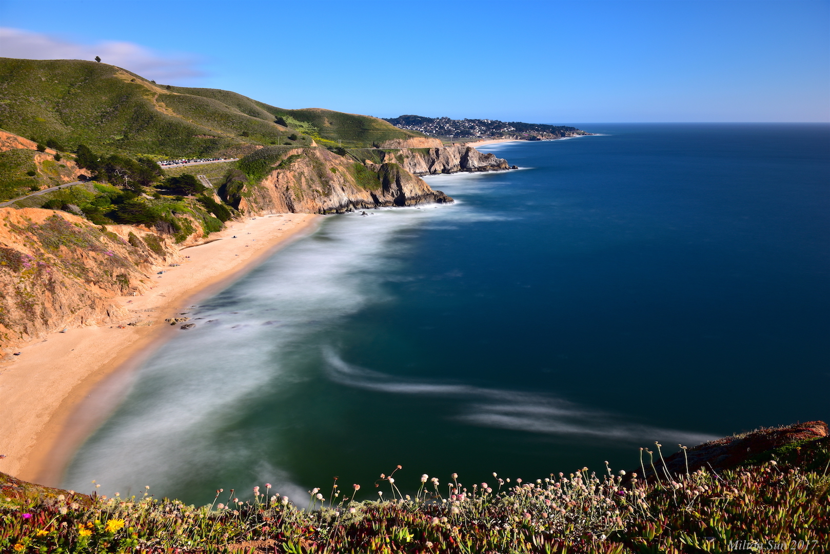
Graywhale Cove State Beach

The nicer days of autumn

Boeing 777-322/ER face off at SFO
Hurry Home
Graywhale Cove State Beach

Spotted Sandpiper

di percorsi senza strade
Topographic Map of Wentworth Dr, South San Francisco, CA, USA
Find elevation by address:

Places near Wentworth Dr, South San Francisco, CA, USA:
Westborough
2526 Sherwood Dr
11 Moonlight Ct
Fasman Drive
Allen Drive
Pacific Bay Vistas
175 Valleyview Way
Pacific Bay Circle
3500 Bering Dr
210 Fernwood Dr
2380 Rollingwood Dr
3721 Carter Dr
3943 Savannah Ct
Skyline College
Avalon
355 Valencia Dr
3541 Highland Dr
220 Alta Mesa Dr
218 Alta Mesa Dr
216 Alta Mesa Dr
Recent Searches:
- Elevation of Corso Fratelli Cairoli, 35, Macerata MC, Italy
- Elevation of Tallevast Rd, Sarasota, FL, USA
- Elevation of 4th St E, Sonoma, CA, USA
- Elevation of Black Hollow Rd, Pennsdale, PA, USA
- Elevation of Oakland Ave, Williamsport, PA, USA
- Elevation of Pedrógão Grande, Portugal
- Elevation of Klee Dr, Martinsburg, WV, USA
- Elevation of Via Roma, Pieranica CR, Italy
- Elevation of Tavkvetili Mountain, Georgia
- Elevation of Hartfords Bluff Cir, Mt Pleasant, SC, USA