Elevation of Wellsley Way, Santa Clarita, CA, USA
Location: United States > California > Los Angeles County > Santa Clarita >
Longitude: -118.54717
Latitude: 34.4445761
Elevation: 383m / 1257feet
Barometric Pressure: 97KPa
Elevation Map:
Satellite Map:
Related Photos:

November 3, 2018

my way to work

The Cascades - Second Los Angeles Aqueduct - Olympus E-410 - Zuiko 40-150mm F/4-5.6
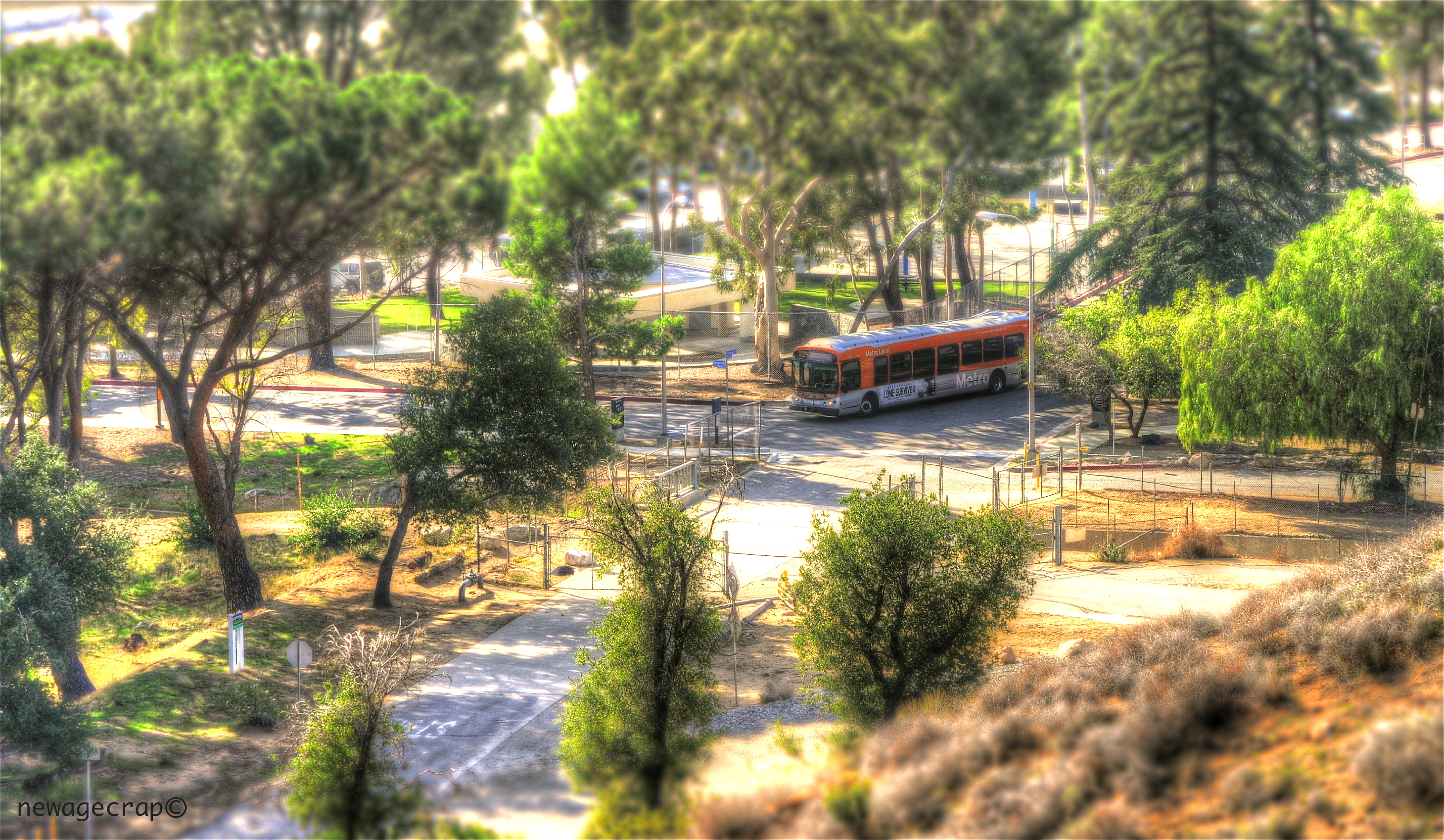
LA Metro Bus
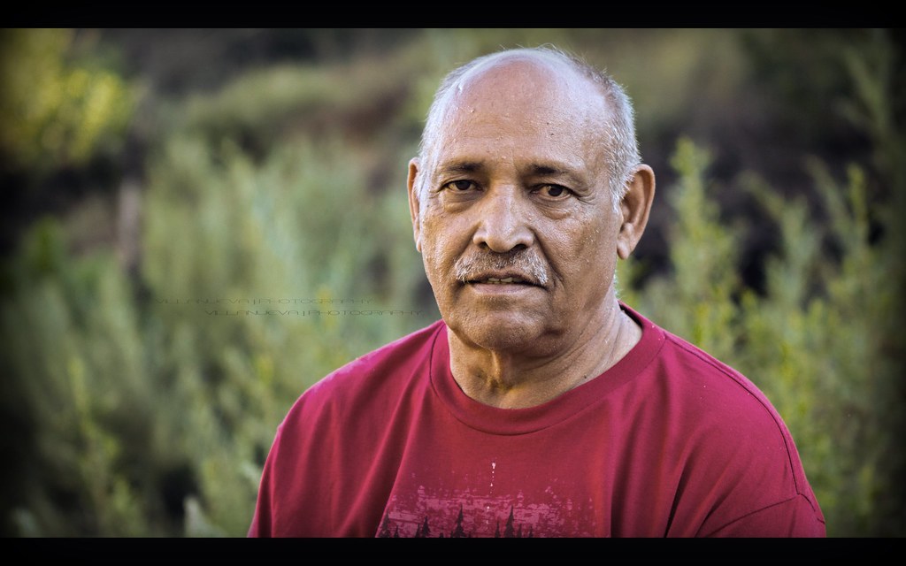
Stranger # 2 (Mohammad)

27/365

29/365

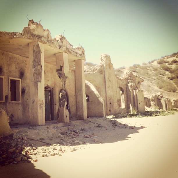
Shed and Silo

Down Town L. A. From Oat Mountain
Palying with the Discovery!
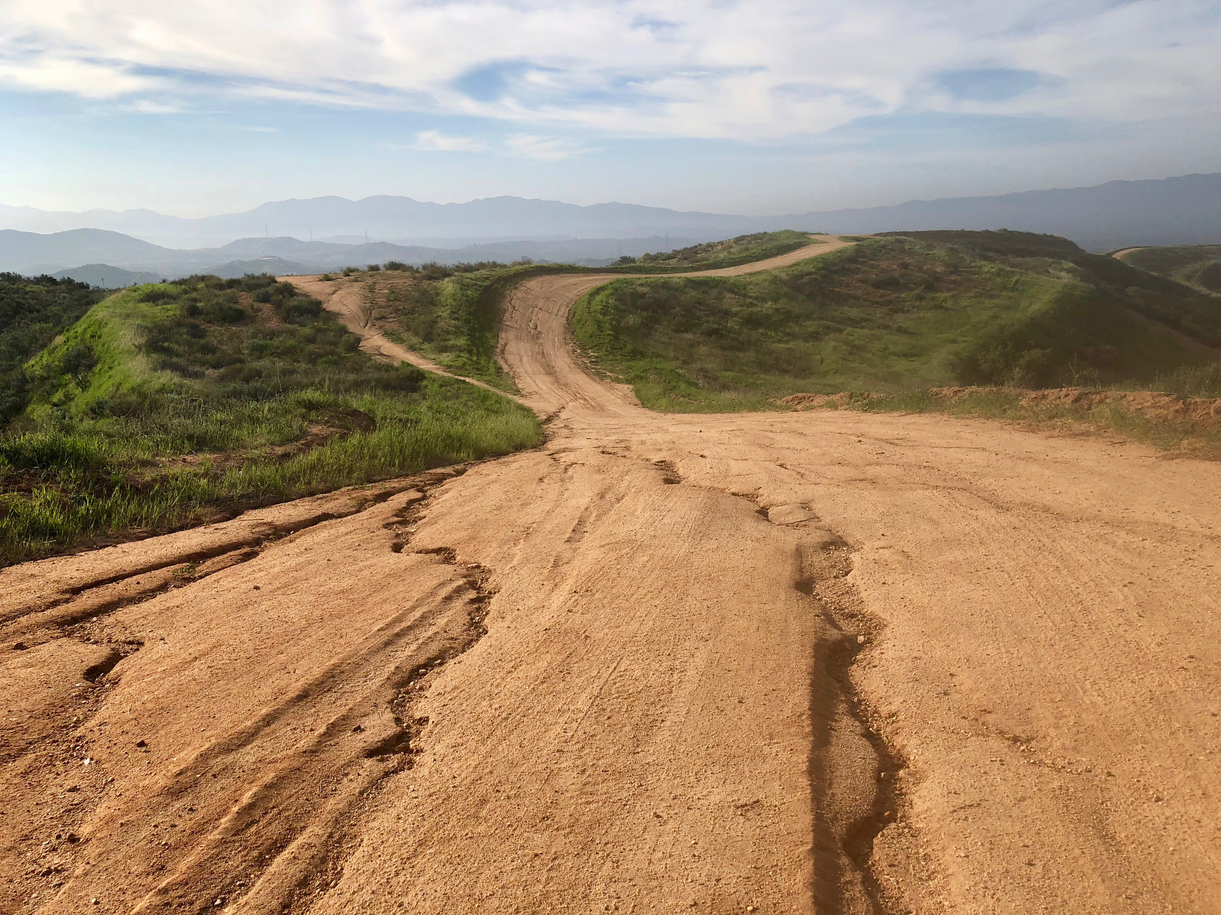
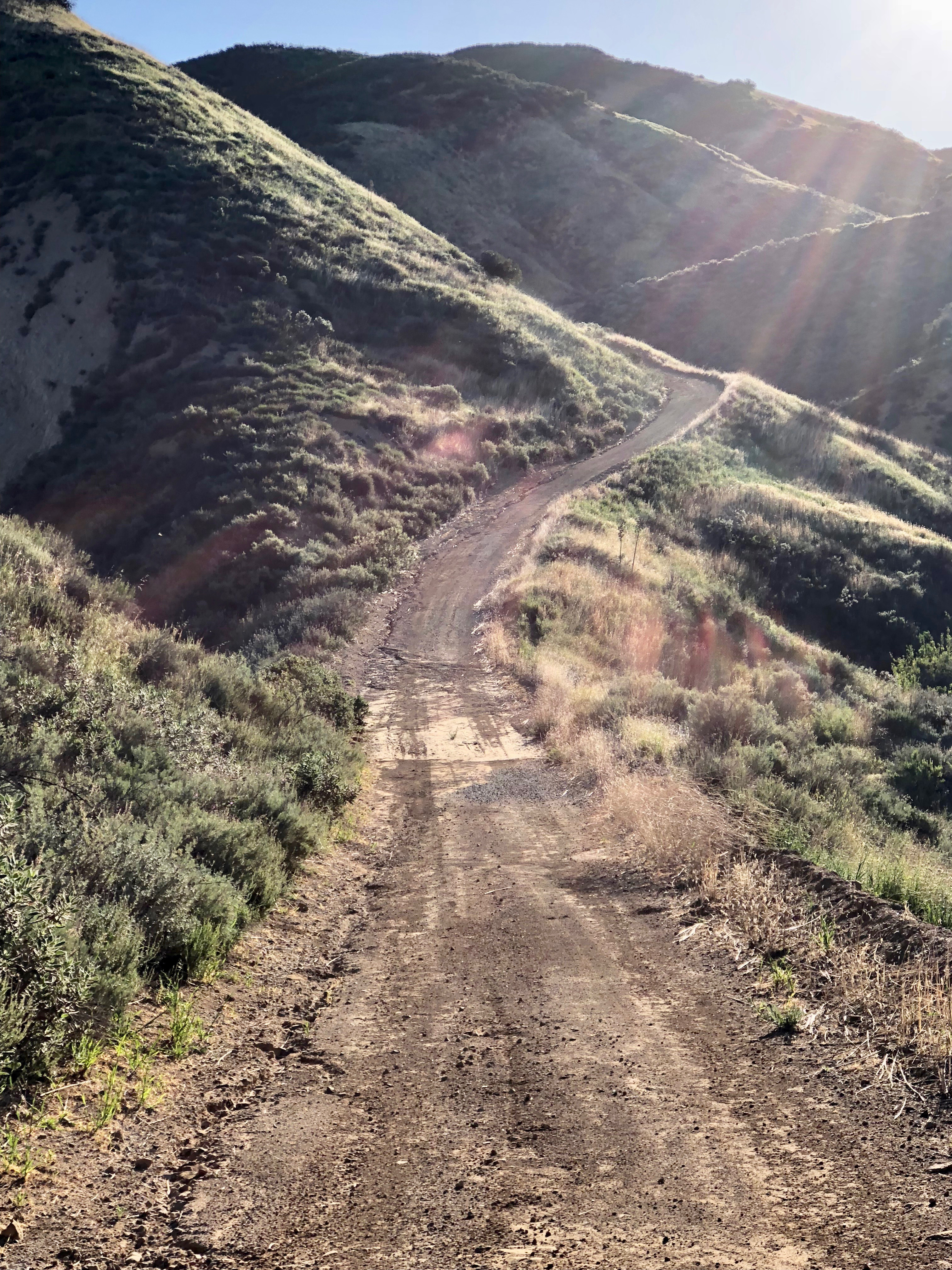
View from #Tapia canyon #mountain
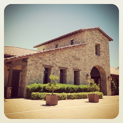
The Tournament Players Club, Valencia will be the location of the Summer Arts Festival! Come by to view some great art by the Santa Clarita Artists Association. #santaclarita #santaclaritaartistsassociation #valencia #tournamentplayersclub #art #artgaller
Majestic Trees
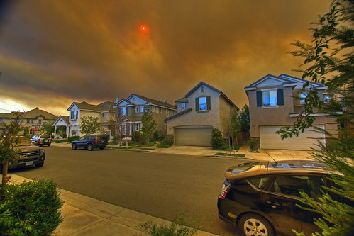
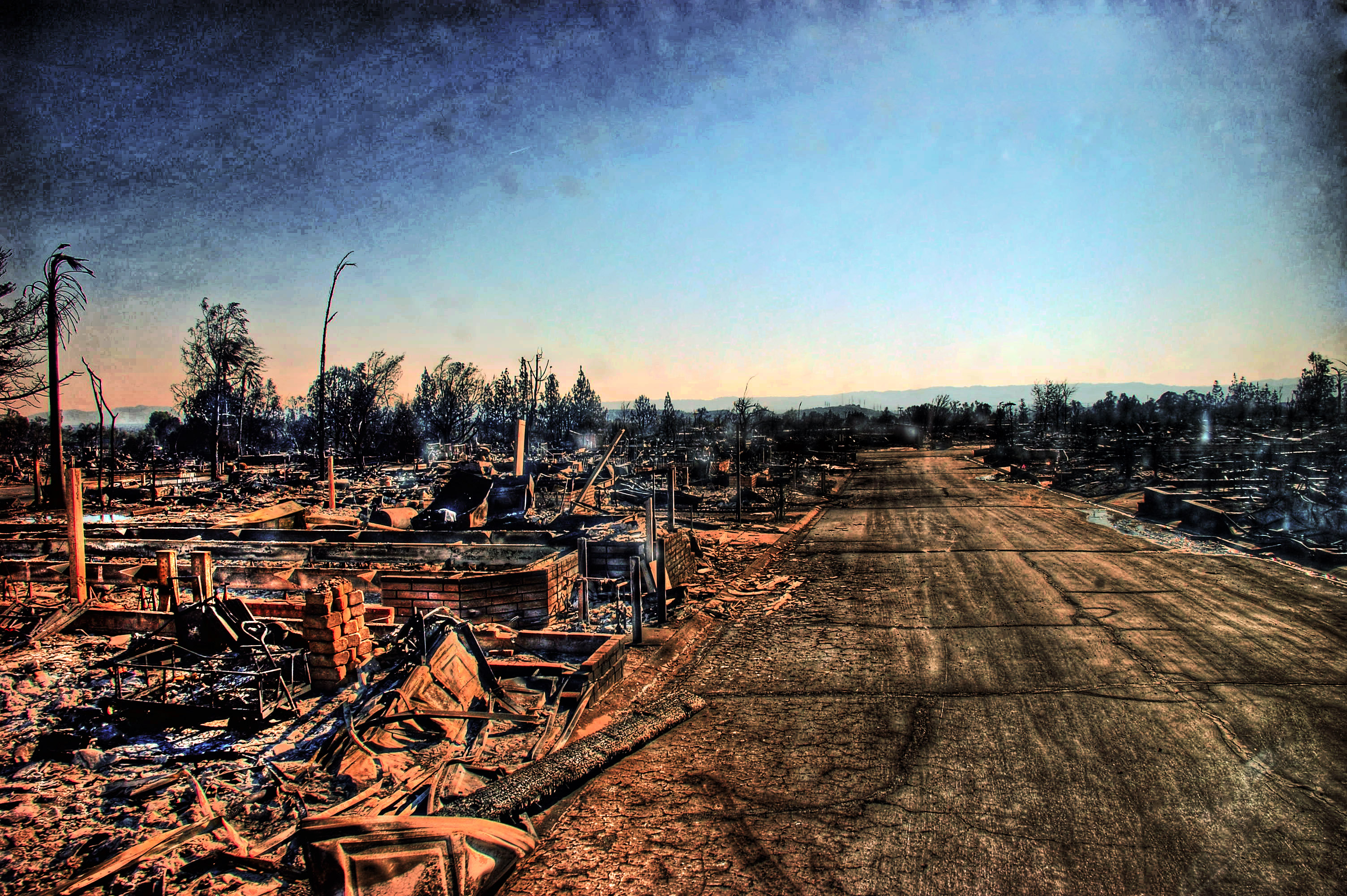
Canyon Country Fire, Santa Clarita, California
The Tournament Players Club, Valencia will be the location of the Summer Arts Festival! Come by to view some great art by the Santa Clarita Artists Association. #santaclarita #santaclaritaartistsassociation #valencia #tournamentplayersclub #art #artgaller
#sunrise #series #valencia #view from window good saturday #morning

I has no name.
down to LA smog
6/365

Enjoying the smoky #sunset view from #Tapia Canyon
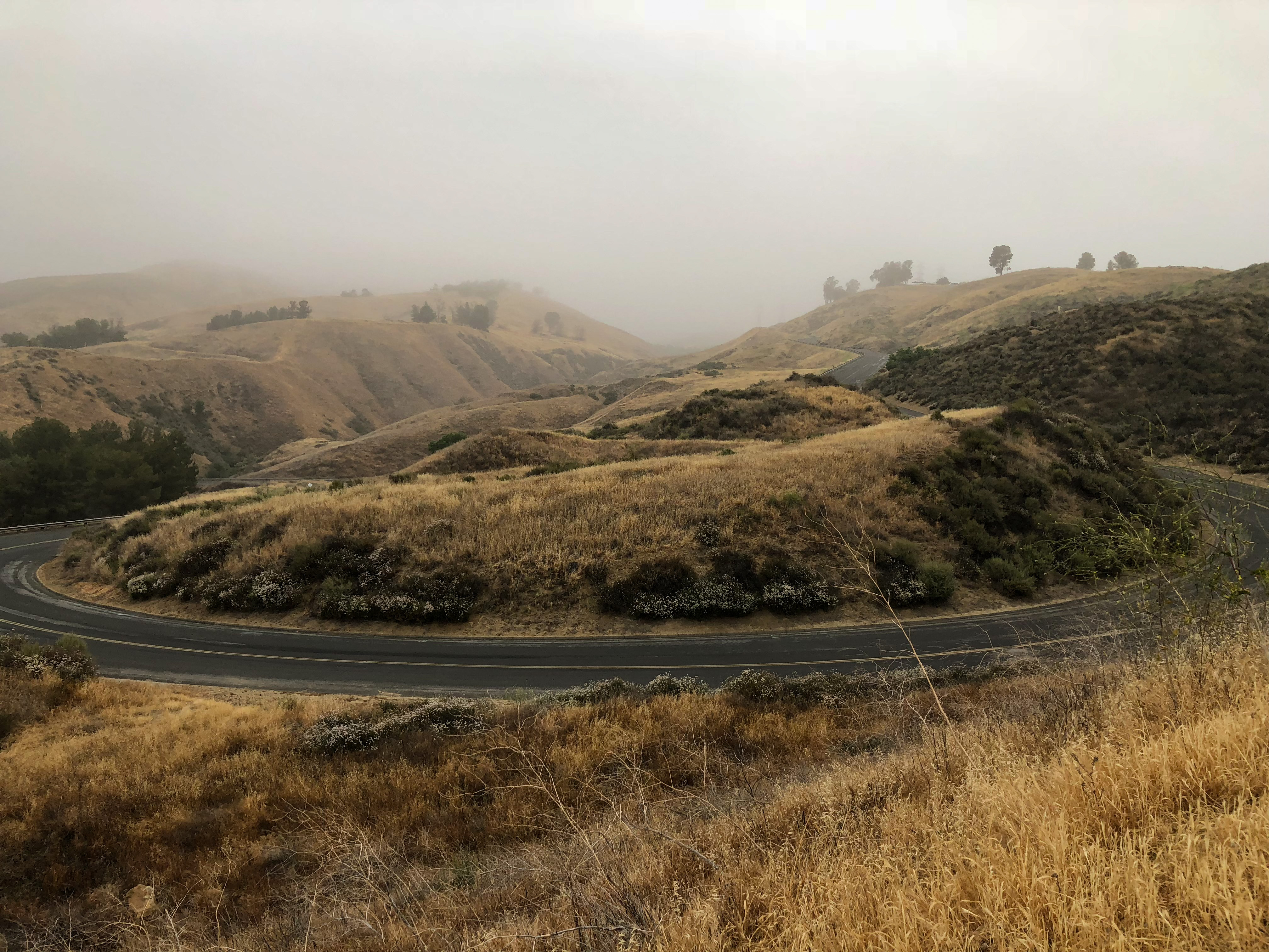
#sunrise view on my morning #trail #run to #Tapia Canyon
After the Fire
There's so much to know
Looking across Fire Valley

San Diego, CA Monochrome

San Diego, CA Monochrome

San Diego, CA Monochrome

That Obdurate Morning
iPhone Hiking
Tapia Canyon Bike Park

Upper Placerita Canyon

iPhone Hiking I
Today's office.
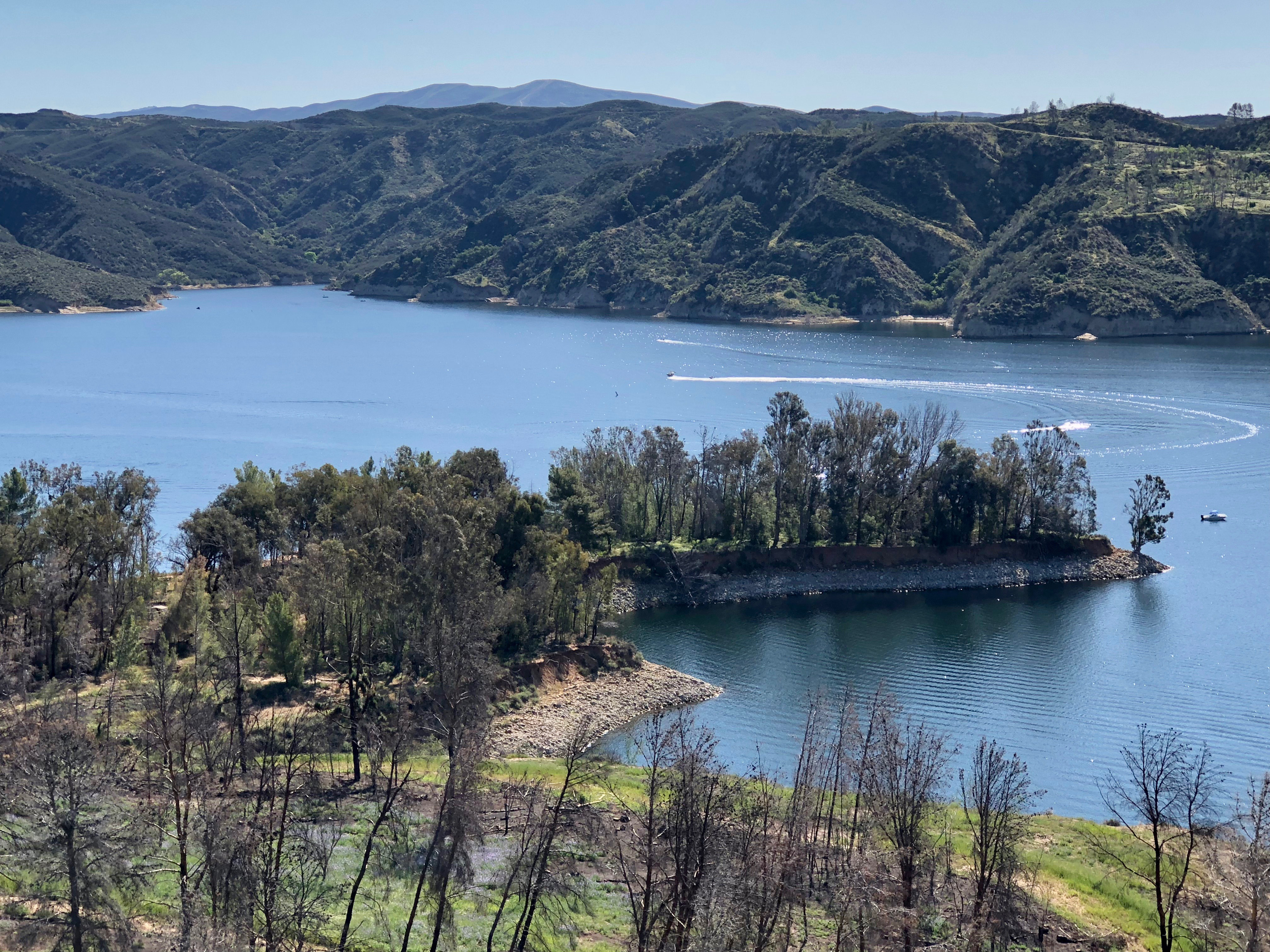
Castaic Lake
Castaic Lake
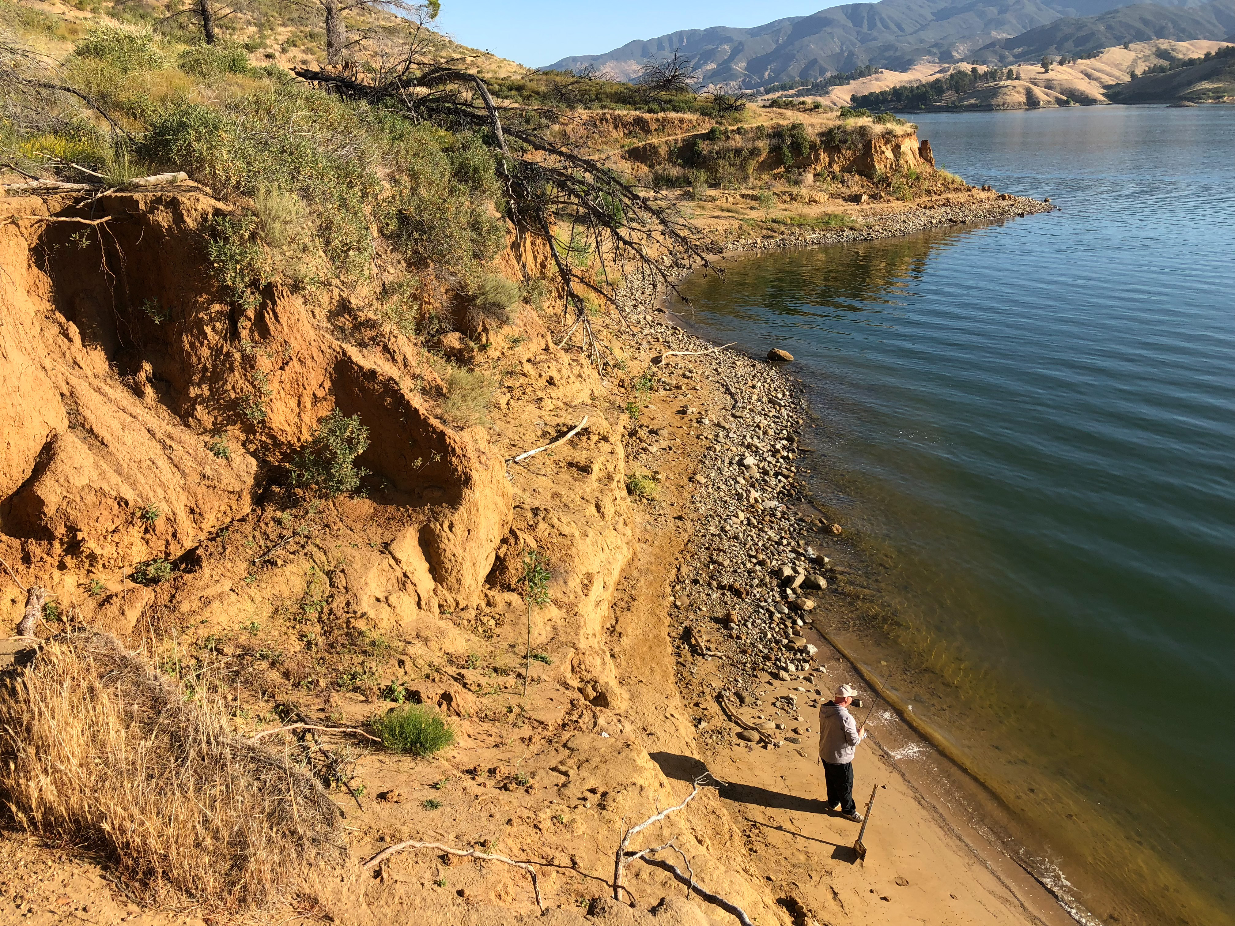
Castaic Lake Trail
DAY 170
West Ramp Rd.

Castaic Lake Recreation Area
Topographic Map of Wellsley Way, Santa Clarita, CA, USA
Find elevation by address:

Places near Wellsley Way, Santa Clarita, CA, USA:
27308 Brighton Ln
23535 Chatfield Way
22927 Sycamore Creek Dr
27303 Parklane Way
27140 Saddlepeak Trail
23862 Bennington Dr
Barbacoa Dr, Santa Clarita, CA, USA
27909 Agapanthus Ln
24339 Foxglove Pl
26836 Cuatro Milpas St
27540 Ave Mentry
27553 Catala Ave
24120 Victoria Ln
Soledad Canyon Rd, Santa Clarita, CA, USA
Parkway Buick Gmc Cadillac
Saugus High School
21679 Allison Dr
Springbrook Ave, Santa Clarita, CA, USA
23355 Cll Arino
26232 Park View Rd
Recent Searches:
- Elevation of Corso Fratelli Cairoli, 35, Macerata MC, Italy
- Elevation of Tallevast Rd, Sarasota, FL, USA
- Elevation of 4th St E, Sonoma, CA, USA
- Elevation of Black Hollow Rd, Pennsdale, PA, USA
- Elevation of Oakland Ave, Williamsport, PA, USA
- Elevation of Pedrógão Grande, Portugal
- Elevation of Klee Dr, Martinsburg, WV, USA
- Elevation of Via Roma, Pieranica CR, Italy
- Elevation of Tavkvetili Mountain, Georgia
- Elevation of Hartfords Bluff Cir, Mt Pleasant, SC, USA