Elevation of Waurika, OK, USA
Location: United States > Oklahoma > Jefferson County >
Longitude: -97.997536
Latitude: 34.1670371
Elevation: 276m / 906feet
Barometric Pressure: 98KPa
Elevation Map:
Satellite Map:
Related Photos:

P8230006

Sunset Waurika

Fishing Oklahoma

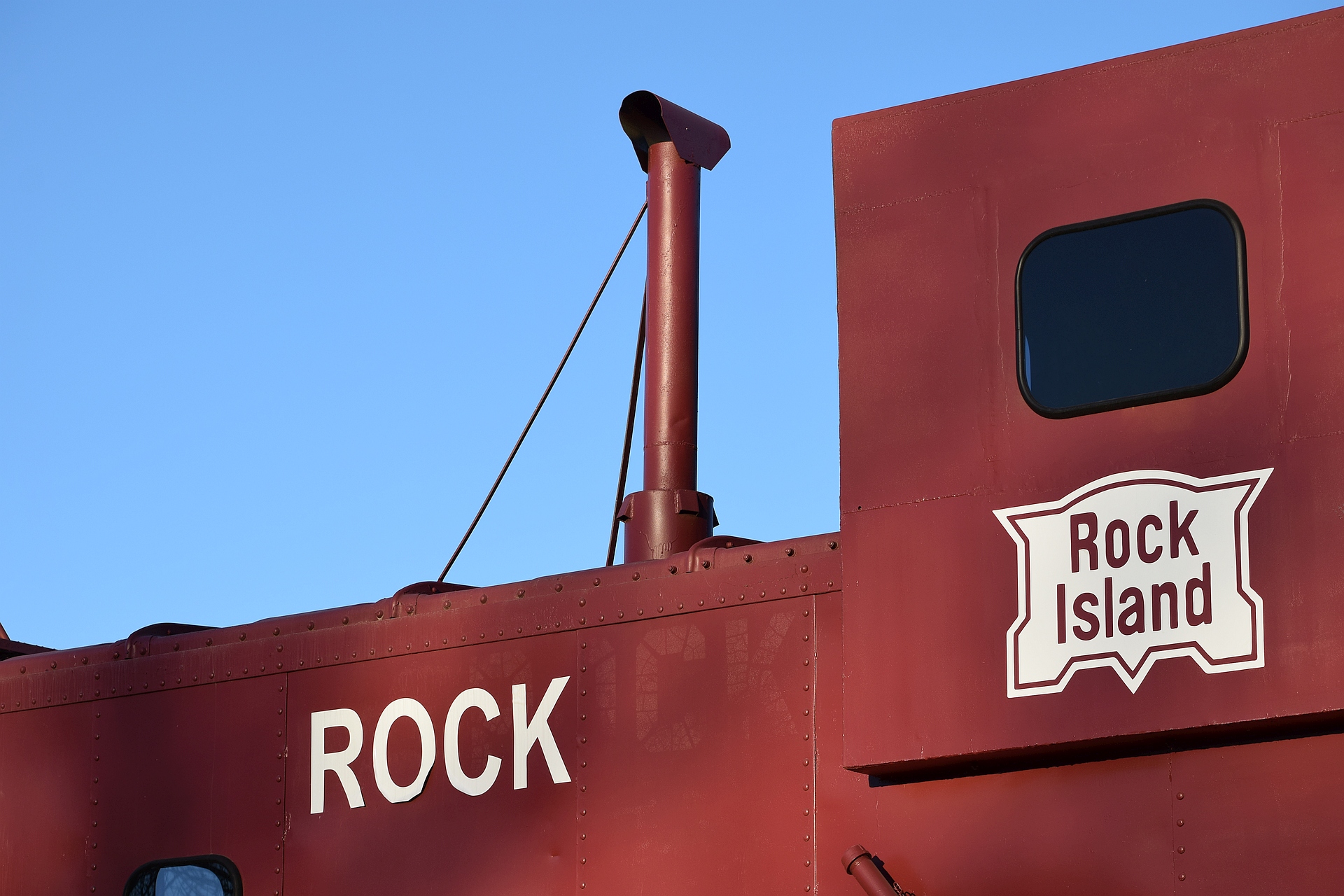
Chicago, Rock Island & Pacific Railroad, Oklahoma, Waurika

LEOW_010_03-23-17.jpg

LEOW_007_03-23-17.jpg

LEOW_003_03-23-17.jpg

LEOW_002_03-23-17.jpg

LEOW_001_03-23-17.jpg

Downtown Waurika, Oklahoma

Chisholm Trail Sign (Addington, Oklahoma)

First Presbyterian Church (Waurika, Oklahoma)

Sunset on the Lake
MKT 210

MKT 210

MKT 210

MKT 210
MKT 210

MKT 210

MKT 210

Out to pasture

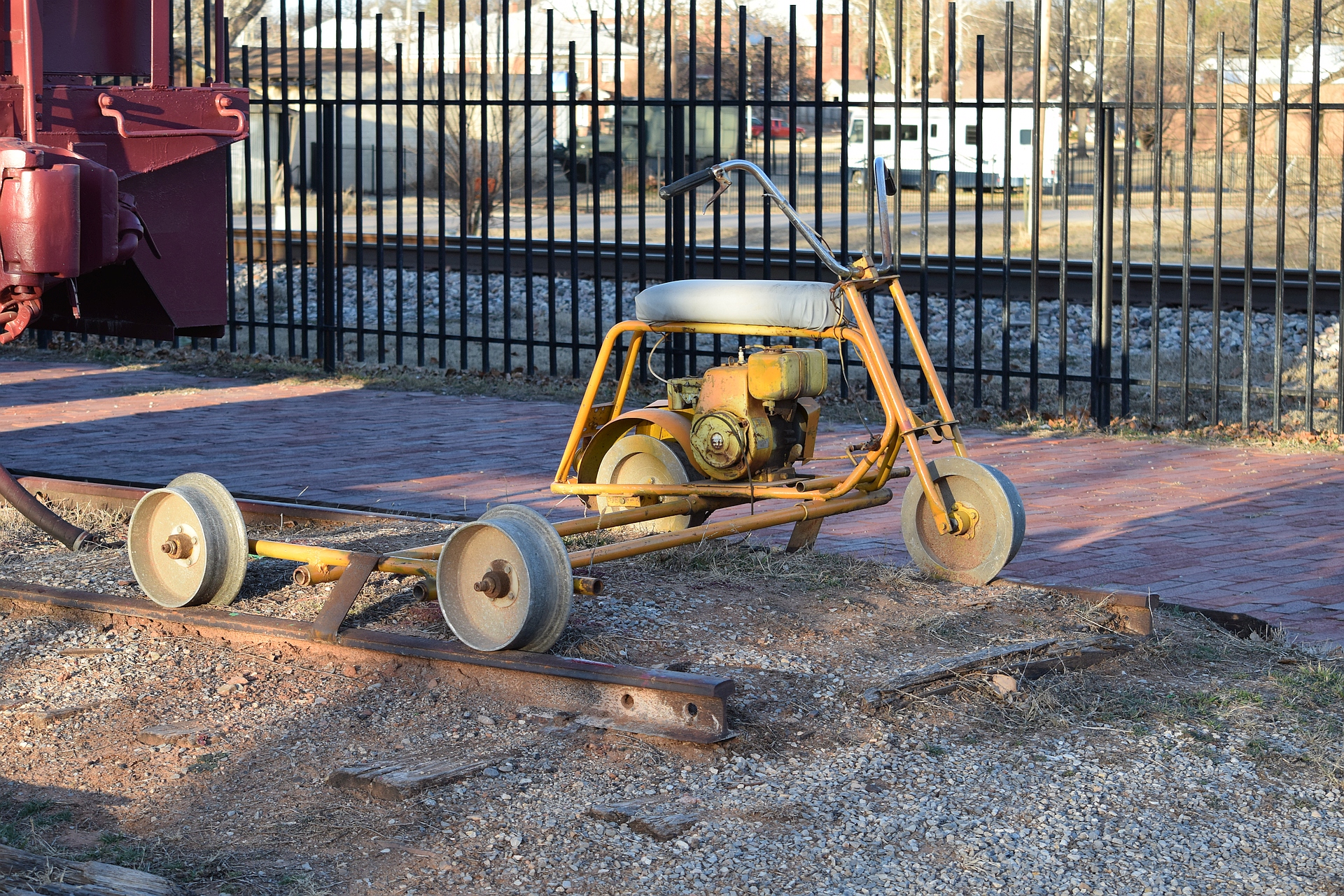
Rock Island station - Waurika, Oklahoma
Topographic Map of Waurika, OK, USA
Find elevation by address:

Places in Waurika, OK, USA:
Places near Waurika, OK, USA:
N2810 Road
Jefferson County
N Rd, Duncan, OK, USA
Terral
Antelope Ave, Terral, OK, USA
Petrolia
Sudan St, Wichita Falls, TX, USA
1180 Ridley Rd
Duncan
902 E Ash Ave
1701 W Pine Ave
7404 Hidden Creek Dr
902 N E St
Ringgold
3001 Bible Way
Miller Che Md
Loco
Elk Crossing Nursing & Rehabilitation
Ash St, Loco, OK, USA
Walters
Recent Searches:
- Elevation of Corso Fratelli Cairoli, 35, Macerata MC, Italy
- Elevation of Tallevast Rd, Sarasota, FL, USA
- Elevation of 4th St E, Sonoma, CA, USA
- Elevation of Black Hollow Rd, Pennsdale, PA, USA
- Elevation of Oakland Ave, Williamsport, PA, USA
- Elevation of Pedrógão Grande, Portugal
- Elevation of Klee Dr, Martinsburg, WV, USA
- Elevation of Via Roma, Pieranica CR, Italy
- Elevation of Tavkvetili Mountain, Georgia
- Elevation of Hartfords Bluff Cir, Mt Pleasant, SC, USA