Elevation of Antelope Ave, Terral, OK, USA
Location: United States > Oklahoma > Jefferson County > Terral >
Longitude: -97.937481
Latitude: 33.8942853
Elevation: 256m / 840feet
Barometric Pressure: 98KPa
Elevation Map:
Satellite Map:
Related Photos:

Ryan, Oklahoma Tornado - May 19th, 2015

In a hurry 6
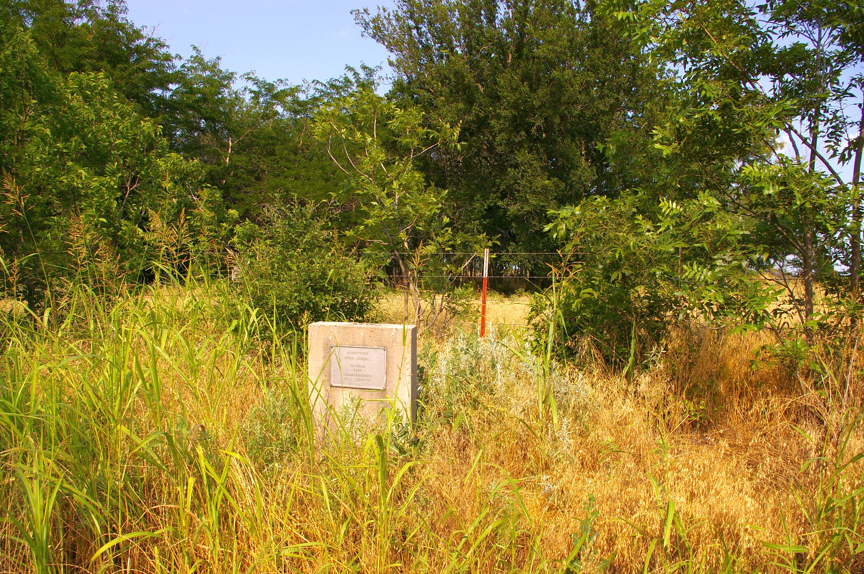
Sunnyside High School, Jefferson County, Oklahoma

Ryan, Oklahoma Tornado - May 19th, 2015

Ryan, Oklahoma Tornado - May 19th, 2015

Ryan, Oklahoma Tornado - May 19th, 2015

Ryan, Oklahoma Tornado - May 19th, 2015

Ryan Oklahoma - Bldg

Ryan Oklahoma - Bldg 2
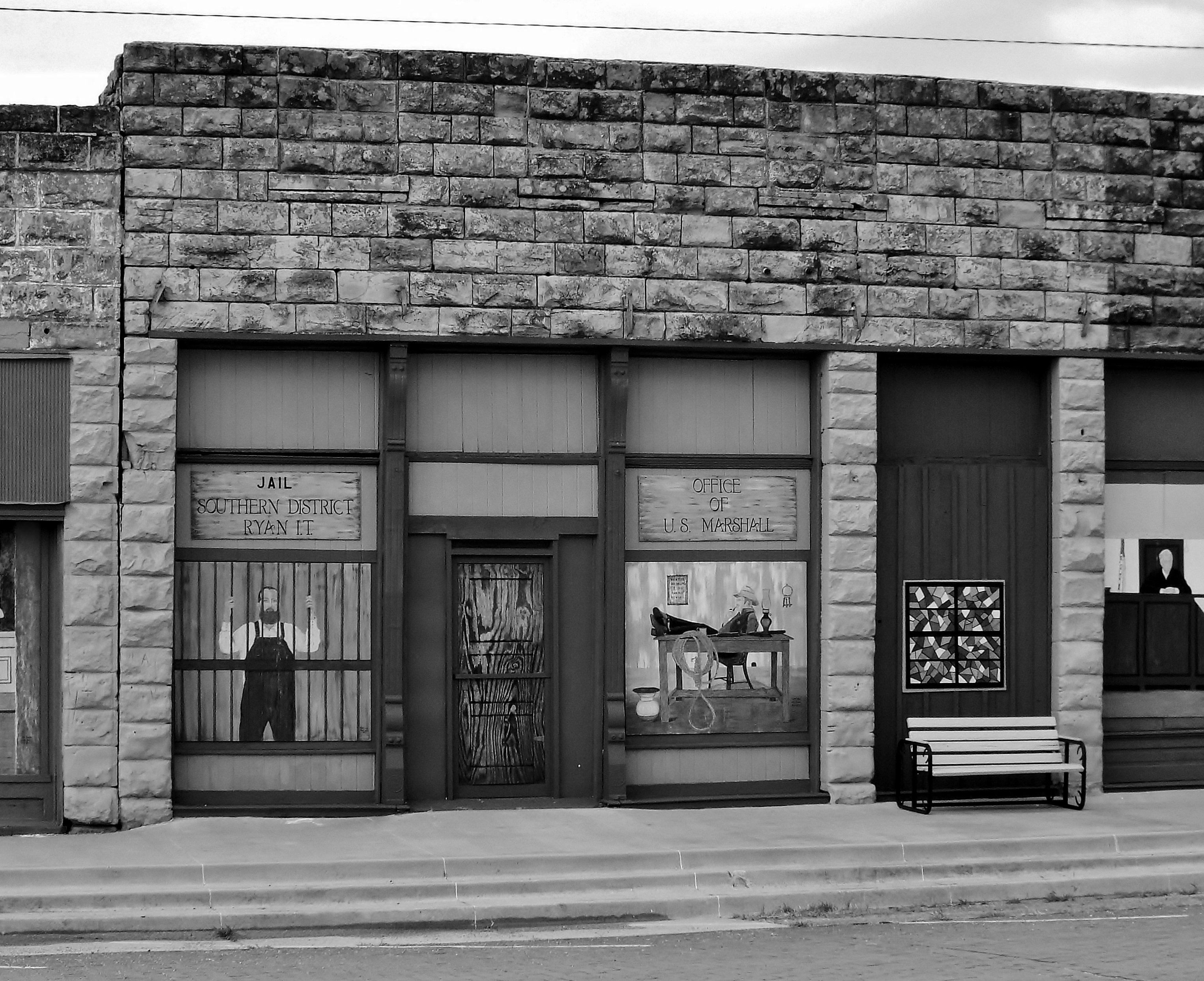
Ryan Oklahoma - Bldg 3

Ryan Oklahoma - Bldg 3 b

Ryan Oklahoma - Bldg 3 c

Ryan Oklahoma - sign

Ryan Oklahoma - ghost sign

Ryan Oklahoma - Bldg 4
Abandoned church

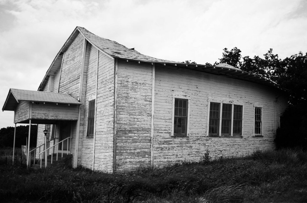
Abandoned Schoolhouse

Stained Glass Memories

Hole in the Sky

The Back Steps Are Rarely Used
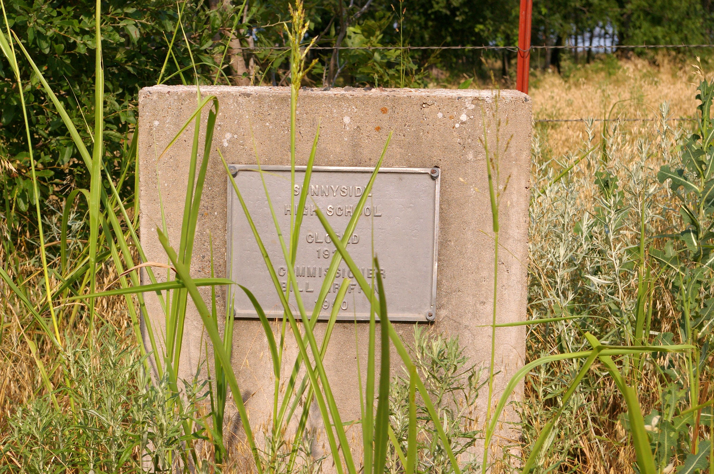
Suunyside High School, Jefferson County, Oklahoma
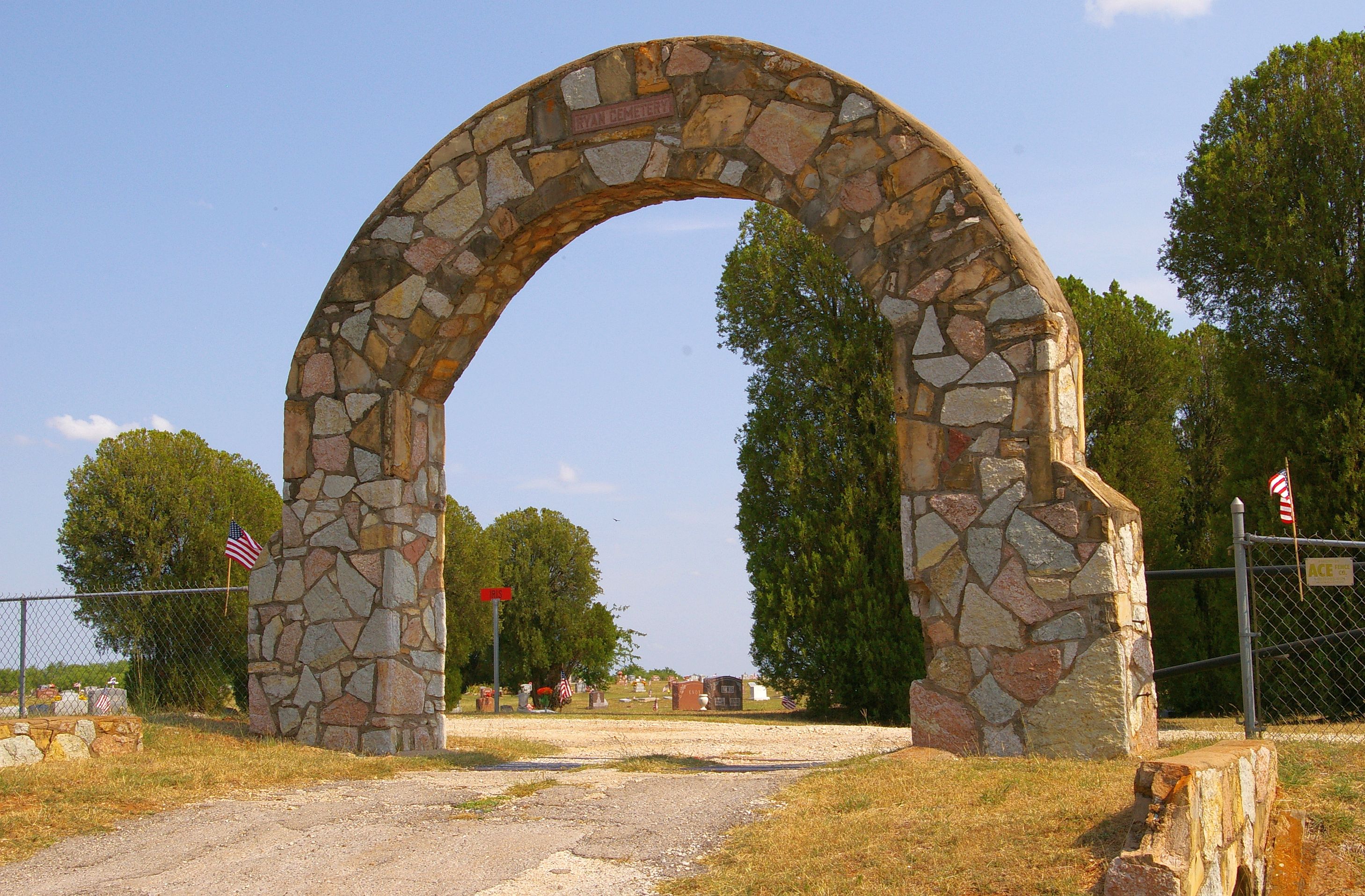
Ryan Cemetery, Oklahoma
Topographic Map of Antelope Ave, Terral, OK, USA
Find elevation by address:

Places near Antelope Ave, Terral, OK, USA:
Terral
Ringgold
1006 Fannin St
Nocona
N2810 Road
Henrietta
Waurika
Jefferson County
146 Santa Elena Dr
Clay County
Petrolia
2nd St, Nocona, TX, USA
1641 Farm To Market Rd 2953
Milton St, Wichita Falls, TX, USA
Jolly
Sudan St, Wichita Falls, TX, USA
Arché Winery & Vineyard
Ringling
N 5th St, Ringling, OK, USA
10690 Keltner Rd
Recent Searches:
- Elevation of Corso Fratelli Cairoli, 35, Macerata MC, Italy
- Elevation of Tallevast Rd, Sarasota, FL, USA
- Elevation of 4th St E, Sonoma, CA, USA
- Elevation of Black Hollow Rd, Pennsdale, PA, USA
- Elevation of Oakland Ave, Williamsport, PA, USA
- Elevation of Pedrógão Grande, Portugal
- Elevation of Klee Dr, Martinsburg, WV, USA
- Elevation of Via Roma, Pieranica CR, Italy
- Elevation of Tavkvetili Mountain, Georgia
- Elevation of Hartfords Bluff Cir, Mt Pleasant, SC, USA