Elevation of Waters Rd, Damascus, VA, USA
Location: United States > Virginia > Washington County > Taylor > Damascus >
Longitude: -81.635434
Latitude: 36.622556
Elevation: 1014m / 3327feet
Barometric Pressure: 90KPa
Elevation Map:
Satellite Map:
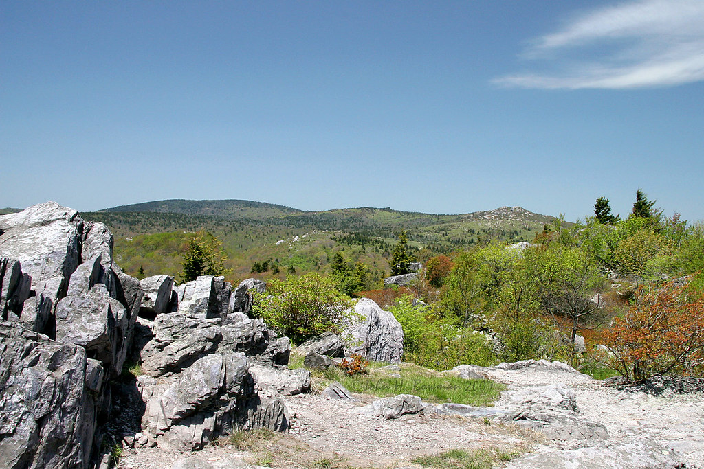
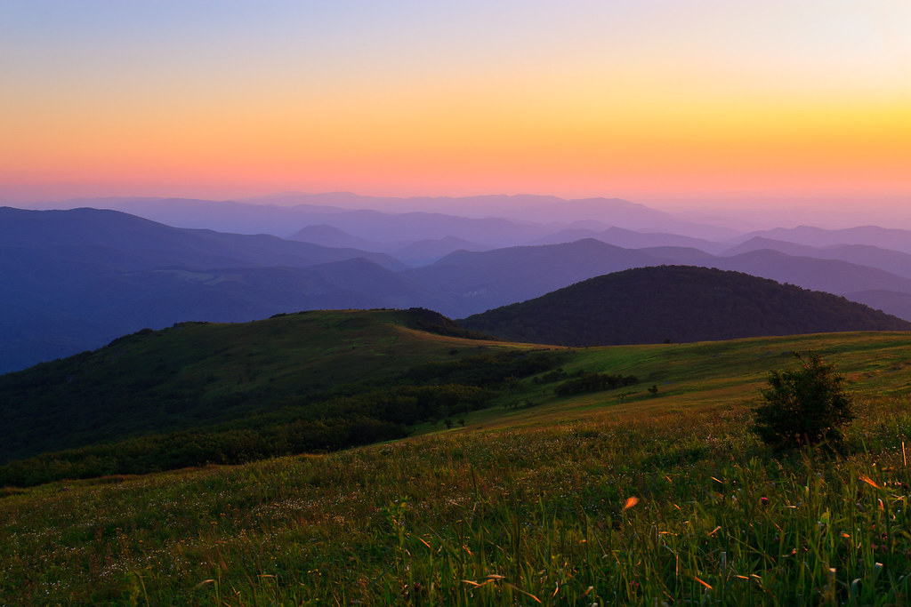
Related Photos:

Signs of Fall - HFF
Grayson Highlands

Green Cove Station

Misty Mountains, Damascus, Virginia

Appalachian NST on Whitetop Mountain, VA (2)

Two Hikers taking in the Grayson County view.

Mock House, Damascus, Virginia 1

Mock House, Damascus, Virginia 2
Sunset on White Top

Mock House, Damascus, Virginia 4

Mock House, Damascus, Virginia 3

Virginia Creeper Trail 360

View Toward Buzzard Rocks from Whitetop Mountain - Mt. Rogers, NRA, Whitetop, VA

Whitetop Laurel Creek

Wilburn Ridge Pano

Mountain View @ Grayson Highlands State Park - Mouth of Wilson, VA

Wilburn Ridge Trail

Morning on Wilburn Ridge

Wilburn Ridge Sunrise

Buzzard Rock, Appalachian NST, VA (3)

Views on Wilburn Ridge

A little color...Sugarlands Overlook, Grayson Highlands State Park [Explored]

Christmas Tree Farms...

HFF! Fence from Old First Peak Trail

Whitetop Laurel Creek

Cabin on Cabin Creek

Grayson Highlands

Pony at Grayson Highlands State Park, Virginia

Wilburn Ridge Sunset

Mount Rogers Summit

Grayson Highlands Sunset

Meadow, Trees, and Sky

Whitetop Mountain, Appalachian NST, VA
Topographic Map of Waters Rd, Damascus, VA, USA
Find elevation by address:

Places near Waters Rd, Damascus, VA, USA:
Wilburn Road
1698 Old Park Rd
Whitetop
2248 Whitetop Gap Rd
16727 Highlands Pkwy
16627 Highlands Pkwy
1141 Old Park Rd
Big Hill
655 Pond Mountain Ln
2248 Whitetop Gap Rd
Whitetop Mountain
21039 Azen Rd
Pond Mountain Lane
20907 Azen Rd
Rhymer Road
1058 Dolinger Rd
1058 Dolinger Rd
41255 Rhymer Rd
41288 Rhymer Rd
41279 Rhymer Rd
Recent Searches:
- Elevation of Corso Fratelli Cairoli, 35, Macerata MC, Italy
- Elevation of Tallevast Rd, Sarasota, FL, USA
- Elevation of 4th St E, Sonoma, CA, USA
- Elevation of Black Hollow Rd, Pennsdale, PA, USA
- Elevation of Oakland Ave, Williamsport, PA, USA
- Elevation of Pedrógão Grande, Portugal
- Elevation of Klee Dr, Martinsburg, WV, USA
- Elevation of Via Roma, Pieranica CR, Italy
- Elevation of Tavkvetili Mountain, Georgia
- Elevation of Hartfords Bluff Cir, Mt Pleasant, SC, USA