Elevation of Pond Mountain Lane, Pond Mountain Ln, Wilson Creek, VA, USA

Location: United States > Virginia > Grayson County > Wilson Creek > Whitetop >

Longitude: -81.660683

Latitude: 36.5957522

Elevation: 1267m / 4157feet

Barometric Pressure: 87KPa

Elevation Map:

elevation map of Pond Mountain Lane, Pond Mountain Ln, Wilson Creek, VA, USA

Satellite Map:

Satellite map of Pond Mountain Lane, Pond Mountain Ln, Wilson Creek, VA, USA

Related Photos:

clouds graysinhighlands graysonhighlandstrip lewisforkwilderness morning morninglight outside panorama pictureaday pictureoftheday september2020 sonyrx100 summer sunlight unitedstatesofamerica zeiss28100mmf1849 whitetop virginia unitedstates
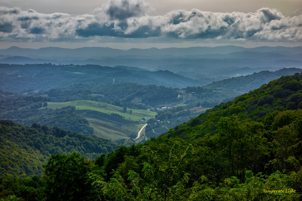
AT Panorama – 9/19/2020
clouds graysinhighlands graysonhighlandstrip landscapeorientation morning outside pictureaday pictureoftheday september2020 sonyrx100 summer sunlight unitedstatesofamerica view zeiss28100mmf1849 mouthofwilson virginia unitedstates
The Ranger’s View
clouds graysinhighlands graysonhighlandstrip landscapeorientation morning outside pictureaday pictureoftheday september2020 sonyrx100 summer sunlight unitedstatesofamerica view zeiss28100mmf1849 mouthofwilson virginia unitedstates
The Vista 01
Misty Mountains, Damascus, Virginia
chfstew virginia vagraysoncounty appalachiantrail hiking landscape panorama
Appalachian NST on Whitetop Mountain, VA (2)
architecture structure building house home domicile residence 1900 turnofthecentury queenanne style frame asymmetrical sawmill facade massing elements crossgables steeppitchedroof metal porches eastlake band shingling fishscale course curve posts turned pilaster windows fenestration vertical horizontal square support door wood glass transom pediment ornament decoration embellishment wraparound baluster rectangle semicircle gazebo kiosk turret finial woodwork recessedpanel stone steps entrance entry foundation lawn grass trees shrubbery flowers birdbath white green damascus washingtoncounty virginia
Mock House, Damascus, Virginia 1
architecture structure building house home domicile residence 1900 turnofthecentury queenanne style frame asymmetrical sawmill facade massing elements crossgables steeppitchedroof metal porches eastlake band shingling fishscale course cine curve posts turned pilaster windows fenestration vertical horizontal square support door wood glass transom pediment ornament decoration embellishment wraparound baluster rectangle semicircle gazebo kiosk turret finial woodwork recessedpanel stone steps entrance entry foundation lawn grass trees shrubbery flowers birdbath white green damascus washingtoncounty virginia
Mock House, Damascus, Virginia 3
architecture structure building house home domicile residence 1900 turnofthecentury queenanne style frame asymmetrical sawmill facade massing elements crossgables steeppitchedroof metal porches eastlake band shingling fishscale course cine curve posts turned pilaster windows fenestration vertical horizontal square support door wood glass transom pediment ornament decoration embellishment wraparound baluster rectangle semicircle gazebo kiosk turret finial woodwork recessedpanel stone steps entrance entry foundation lawn grass trees shrubbery flowers birdbath white green damascus washingtoncounty virginia
Mock House, Damascus, Virginia 2
architecture structure building house home domicile residence 1900 turnofthecentury queenanne style frame asymmetrical sawmill facade massing elements crossgables steeppitchedroof metal porches eastlake band shingling fishscale course cine curve posts turned pilaster windows fenestration vertical horizontal square support door wood glass transom pediment ornament decoration embellishment wraparound baluster rectangle semicircle gazebo kiosk turret finial woodwork recessedpanel stone steps entrance entry foundation lawn grass trees shrubbery flowers birdbath white green damascus washingtoncounty virginia
Mock House, Damascus, Virginia 4
troutdale virginia unitedstates us
Whitetop Sunset 2016
chfstew virginia vawashingtoncounty appalachiantrail hiking mountain landscape panorama
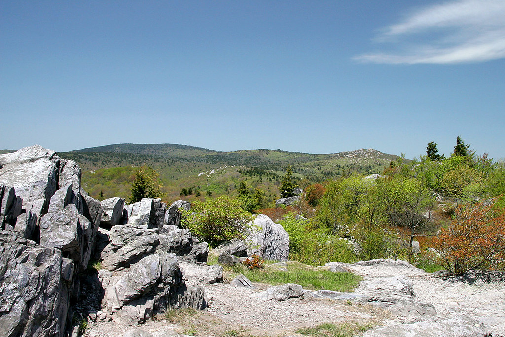
Buzzard Rock, Appalachian NST, VA (3)
virginia yorkshireterrier appalachiantrail graysonhighlandsstatepark wilburnridge mountrogersrecreationarea dogsthathike
Appalachian Yorkie
sunset mountains virginia whitetop scenicviews mountrogers jeffersonnationalforest
Sunset on White Top
Mobile Home
pauldiming stateparks landscape graysonhighlands graysoncountyvirginia mouthofwilson graysonhighlandsstatepark virginiastateparks summer mouthofwilsonvirginia virginia parks jeffersonnationalforest park sugarlandsoverlook dailyphoto statepark graysoncounty unitedstates us
Mountain View @ Grayson Highlands State Park - Mouth of Wilson, VA
chfstew virginia vawashingtoncounty appalachiantrail hiking mountain landscape panorama
VA601 to Buzzard Rock, Appalachian NST, VA (13)
chfstew virginia vawashingtoncounty appalachiantrail hiking mountain landscape
Whitetop Mountain, Appalachian NST, VA
chfstew virginia vawashingtoncounty appalachiantrail hiking mountain landscape panorama
Buzzard Rock, Appalachian NST, VA (2)
chfstew virginia vawashingtoncounty appalachiantrail hiking mountain landscape
VA601 Trailhead, Appalachian NST, VA
2013 film spring afternoon cloudy driving forest ice snow travel trees outdoor nature landscape mountains rad20130320 aerial tree virginia grouped day graysonhighlands outdoors favorited bw blackandwhite monochrome
RAD2013.03.20.08 White Top
virginia may 2007 graysoncounty mtrogers graysonhighlandstatepark
Grayson Highlands
mouthofwilson virginia unitedstates us graysonhighlandsstatepark canon canon6dmarkii
A little color...Sugarlands Overlook, Grayson Highlands State Park [Explored]
mouthofwilson virginia unitedstates us graysonhighlandsstatepark landscape christmastreefarm fraserfir rural hdr 3exp
Christmas Tree Farms...
creek virginia appalachiantrail nationalrecreationarea mountrogers nationalscenictrail whitetoplaurel
Whitetop Laurel Creek
nikon wet water waterfall tripod long exposure dark low lowlight outdoos outside nature gayson highlands va virginia natural cabin creek stream woods forrest beautiful light aperture hike forest river grass rock sky tree landscape d 750 d750 nikor 2470 vr leaves fall color fog mist misty old abandoned
Cabin on Cabin Creek
park virginia highlands state gimp olympus trail grayson appalachian em1
Grayson Highlands
pauldiming smythcounty landscape highlands highcountrymeadow mtrogersnra blueridgehighlands washingtoncounty meadow dailyphoto whitetopmountain summer graysoncountyvirginia mouthofwilsonvirginia smythcountyvirginia washingtoncountyvirginia southwestvirginia virginia balds graysoncounty mtrogersnationalrecreationarea d7000 nationalrecreationarea whitetopfolkfestival mouthofwilson troutdale unitedstates us
View Toward Buzzard Rocks from Whitetop Mountain - Mt. Rogers, NRA, Whitetop, VA
longexposure dog stars virginia petey composit graysonhighlands canoneos6d tokina1628f28
Starry Starry Evening
1991 snow winter road storm nature ice fog outdoor outdoors film scans virginia grouped commented graysonhighlands travel favorited
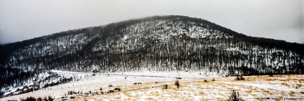
1991.01.15.01 Winter in Elk Garden Gap
red blueridgemountains southwestvirginia virginiaviews graysonhighlandsstatepark nikon28300 mountrogersrecreationarea michaelspeed nikond750
Two Hikers taking in the Grayson County view.
graysonhighlandsstatepark virginia nature
Massey Gap Landscape
Wilburn Ridge Trail
Wilburn Ridge Pano
Morning on Wilburn Ridge
Wilburn Ridge Sunrise
winter 1991 snow ice rain fog nature outdoor outdoors mountains nikkormatftn film scanned scans grouped favorited
1991.01.15.02 Winter in Elk Garden Gap
appalaciantrail backpacking canoneos7dmkii fall graysonhighlandsstateparkva hdr hiking landscape millcreek mountrogersnationalrecreationarea mouthofwilson tamronaf1750mmf28spxrdiiivc usa unitedstates virginia wilburnridge geo:lat=3664640667 geo:lon=8151516833 geotagged outdoors geo:country=unitedstates camera:model=canoneos7dmarkii camera:make=canon exif:isospeed=160 exif:aperture=ƒ90 geo:city=mouthofwilson geo:location=millcreek exif:focallength=17mm geo:lon=81515278333333 exif:lens=1750mm exif:model=canoneos7dmarkii geo:lat=36646388333333 geo:state=virginia exif:make=canon
Views on Wilburn Ridge
Grayson Highlands Sunset