Elevation of Water Tower, Watters Dr, Dwight, IL, USA
Location: United States > Illinois > Livingston County > Dwight Township > Dwight >
Longitude: -88.444131
Latitude: 41.0912373
Elevation: -10000m / -32808feet
Barometric Pressure: 295KPa
Elevation Map:
Satellite Map:
Related Photos:

June 27, 2017

June 27, 2017
Sunbury NP scene north side

Verona hangs on

GM&O Station, Dwight, Illinois

Record breaker

2011-02-26 12.11.16

2011-09-10 18.35.51

2011-09-10 18.33.47

2011-09-10 18.31.50

Mobil Station along Route 66 in Odell, IL
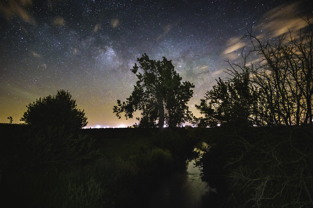
Calm and dark

2011-09-10 18.29.58

2011-09-10 18.34.12
2011-09-10 18.40.00

Conrail B23-7 #2813 near Dwight IL on 11/13/77

2011-09-10 18.30.32

2011-02-26 12.11.06
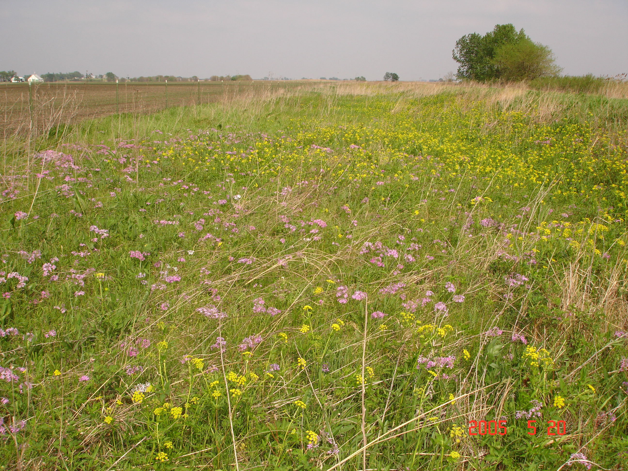
Illinois Road Trip 212

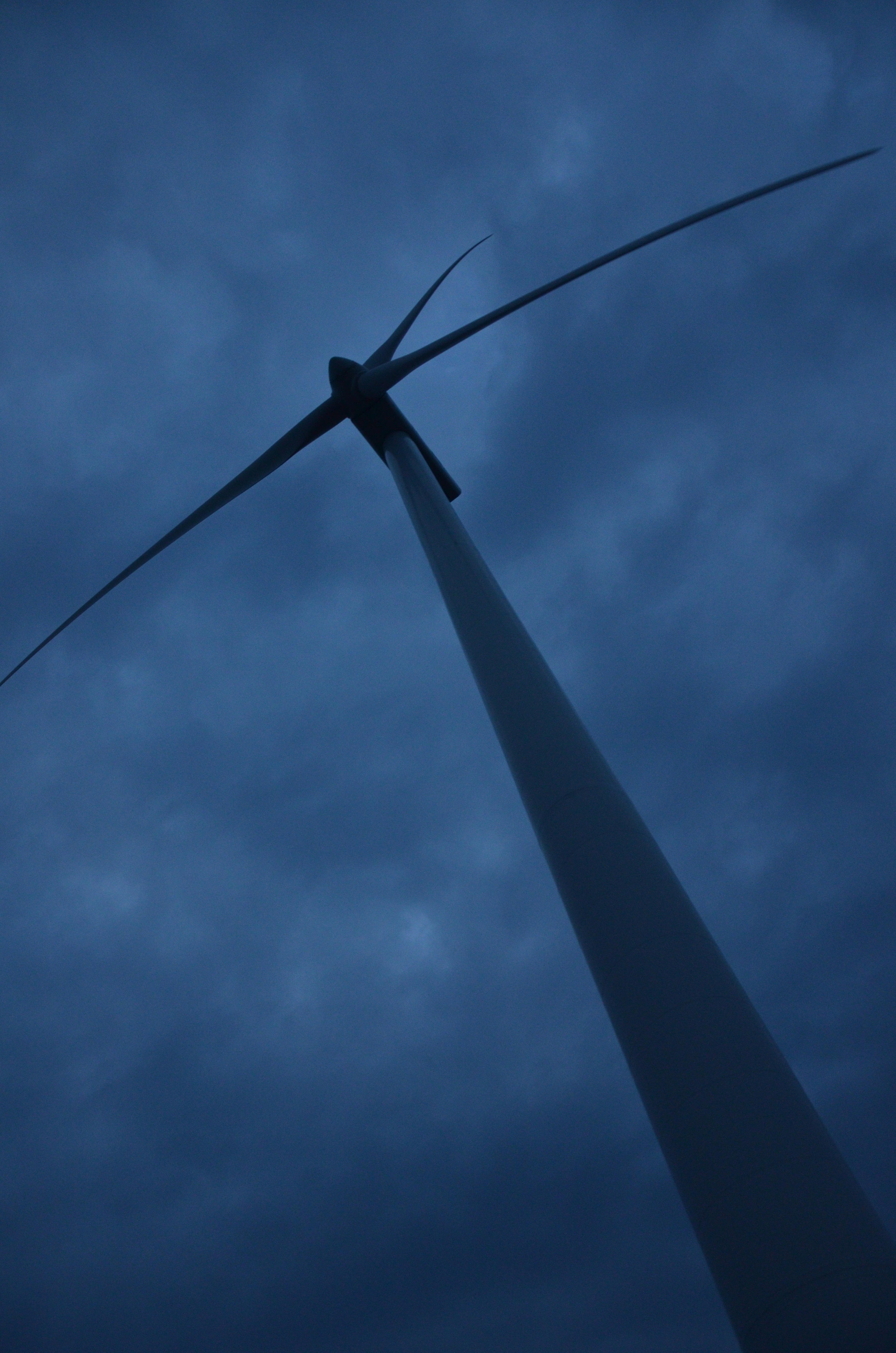
Giant Wind Turbine

Truck Stop
Topographic Map of Water Tower, Watters Dr, Dwight, IL, USA
Find elevation by address:

Places near Water Tower, Watters Dr, Dwight, IL, USA:
Dwight
E Mazon Ave, Dwight, IL, USA
Dwight Township
208 E Vermillion St
Odell
N Front St, Odell, IL, USA
Verona
609 Jewett St
Mazon
East St, Mazon, IL, USA
Odell Township
Kinsman
620 County Rd 32
Mazon Township
608 S East St
600 S East St
300 S East St
Gardner
100 E Odell St
Maine Township
Recent Searches:
- Elevation of Corso Fratelli Cairoli, 35, Macerata MC, Italy
- Elevation of Tallevast Rd, Sarasota, FL, USA
- Elevation of 4th St E, Sonoma, CA, USA
- Elevation of Black Hollow Rd, Pennsdale, PA, USA
- Elevation of Oakland Ave, Williamsport, PA, USA
- Elevation of Pedrógão Grande, Portugal
- Elevation of Klee Dr, Martinsburg, WV, USA
- Elevation of Via Roma, Pieranica CR, Italy
- Elevation of Tavkvetili Mountain, Georgia
- Elevation of Hartfords Bluff Cir, Mt Pleasant, SC, USA