Elevation of Washington Township, AR, USA
Location: United States > Arkansas > Grant County >
Longitude: -92.243348
Latitude: 34.3327795
Elevation: 90m / 295feet
Barometric Pressure: 100KPa
Elevation Map:
Satellite Map:
Related Photos:

IMG_0272

IMG_0247

IMG_0269

IMG_0252

IMG_0271

IMG_0268
IMG_4383
IMG_4377

IMG_0242
IMG_0244
IMG_4378
IMG_4381
IMG_4382

IMG_0267

IMG_0245

Family Church Sky
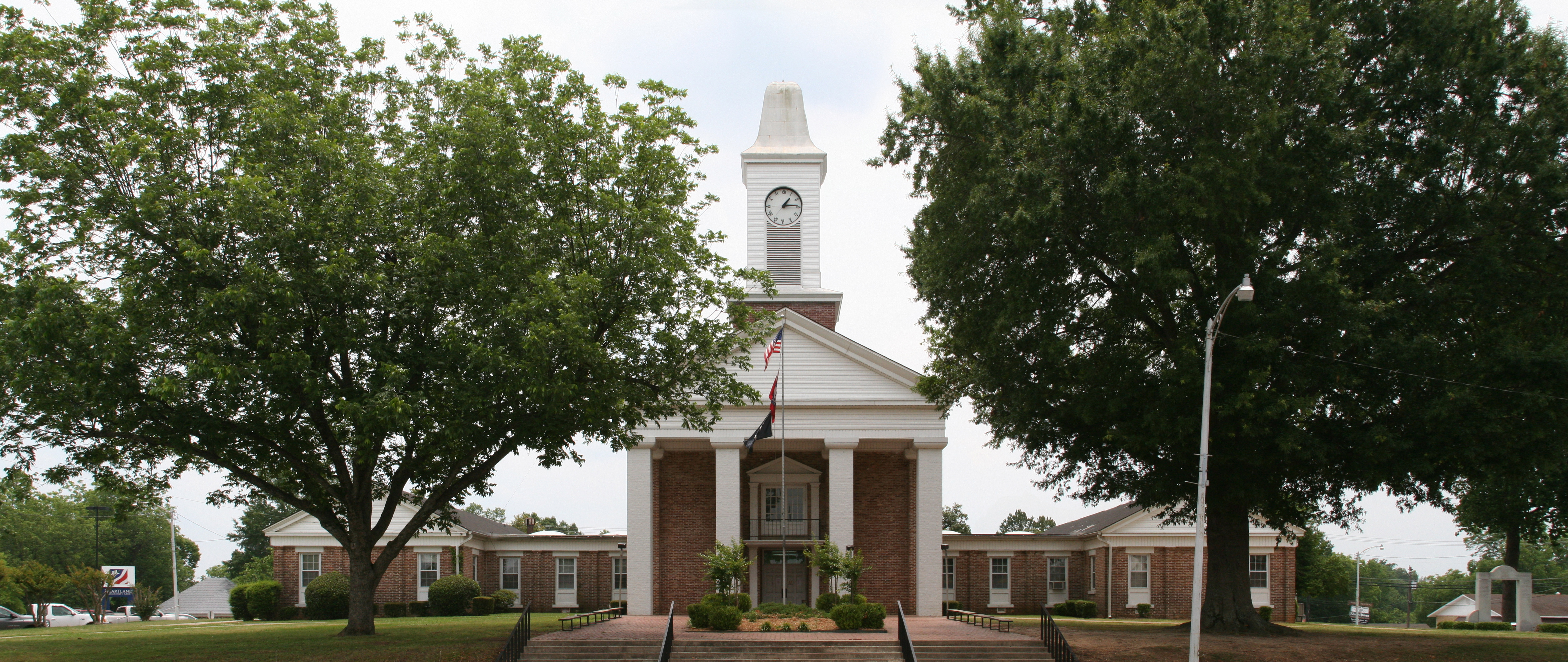
Grant County courthouse
Topographic Map of Washington Township, AR, USA
Find elevation by address:

Places in Washington Township, AR, USA:
Places near Washington Township, AR, USA:
Nature Grove Dr, Sheridan, AR, USA
US-, Sheridan, AR, USA
Grant 4613
US-, White Hall, AR, USA
Stagecoach Rd, Jefferson, AR, USA
Jefferson
Louise Road
US-, White Hall, AR, USA
Shopwise Market
US-, White Hall, AR, USA
Washington Township
Jefferson Township
SE Railroad St, Redfield, AR, USA
1603 Seibs Ave
Dollarway Rd, White Hall, AR, USA
Forest Road 9117
Merry Green Township
East Dogwood Lane
Sheridan
8000 Sheridan Rd
Recent Searches:
- Elevation of Corso Fratelli Cairoli, 35, Macerata MC, Italy
- Elevation of Tallevast Rd, Sarasota, FL, USA
- Elevation of 4th St E, Sonoma, CA, USA
- Elevation of Black Hollow Rd, Pennsdale, PA, USA
- Elevation of Oakland Ave, Williamsport, PA, USA
- Elevation of Pedrógão Grande, Portugal
- Elevation of Klee Dr, Martinsburg, WV, USA
- Elevation of Via Roma, Pieranica CR, Italy
- Elevation of Tavkvetili Mountain, Georgia
- Elevation of Hartfords Bluff Cir, Mt Pleasant, SC, USA