Elevation of Washington Dr, Stafford, VA, USA
Location: United States > Virginia > Stafford County > Aquia > Stafford >
Longitude: -77.390465
Latitude: 38.4573421
Elevation: 25m / 82feet
Barometric Pressure: 101KPa
Elevation Map:
Satellite Map:
Related Photos:

Sunset over Mallows Bay

National Museum of the Marine Corps

Road sign at intersection of US 1 and Joplin and Fuller Roads

Ghost Ships in Mallows Bay

Government Island

The Ghost Battalion (2nd Battalion, 1st Marines): Semper Fidelis Memorial Park

"Iron Mike" 6th Regiment Tribute, National Museum of the Marine Corps
Austin Ridge Homes in Section 8B

WamaLTC display April 2010 (17)

View from the Virgin plane at sunset

National Museum of the Marine Corps

2016 04-05 3:38PM--CSX ES40DC-5302 S/B T315, AMTK P42DC-44 N/B 80 Carolinian, Stafford, VA
Mountain View Vol. Rescue Squad

Vought F4U-4 Corsair (97369) (N5214V)

Boardwalk to Government Island

Basking In the Morning Sun
Government Island Quarry

Vought F4U Corsair

Vought F4U Corsair

Vought F4U Corsair

Vought F4U Corsair
Government Island

Government Island

Stafford County, Va.

Great Blue Heron

Crow's Nest Natural Area Preserve in Stafford County, Va.

Anthony Burns Elementary School in Stafford County

Potomac Shoreline
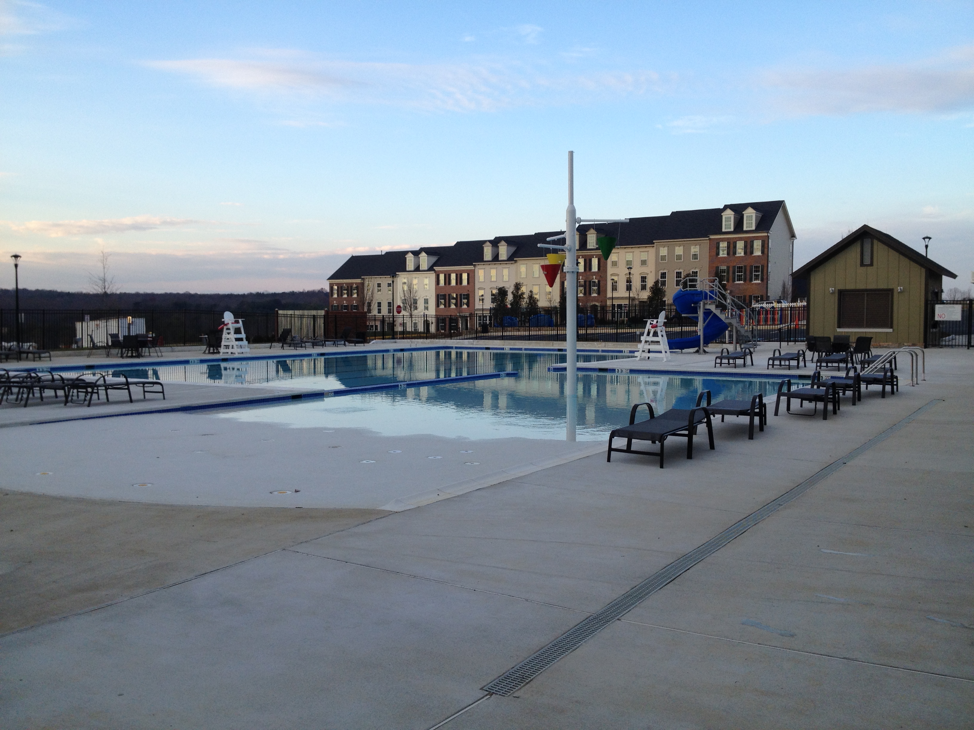
Embrey Mill Community Pool, North Stafford

Prince William Forest Park, Triangle, Virginia
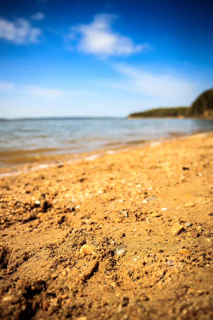
Sand Pebbles
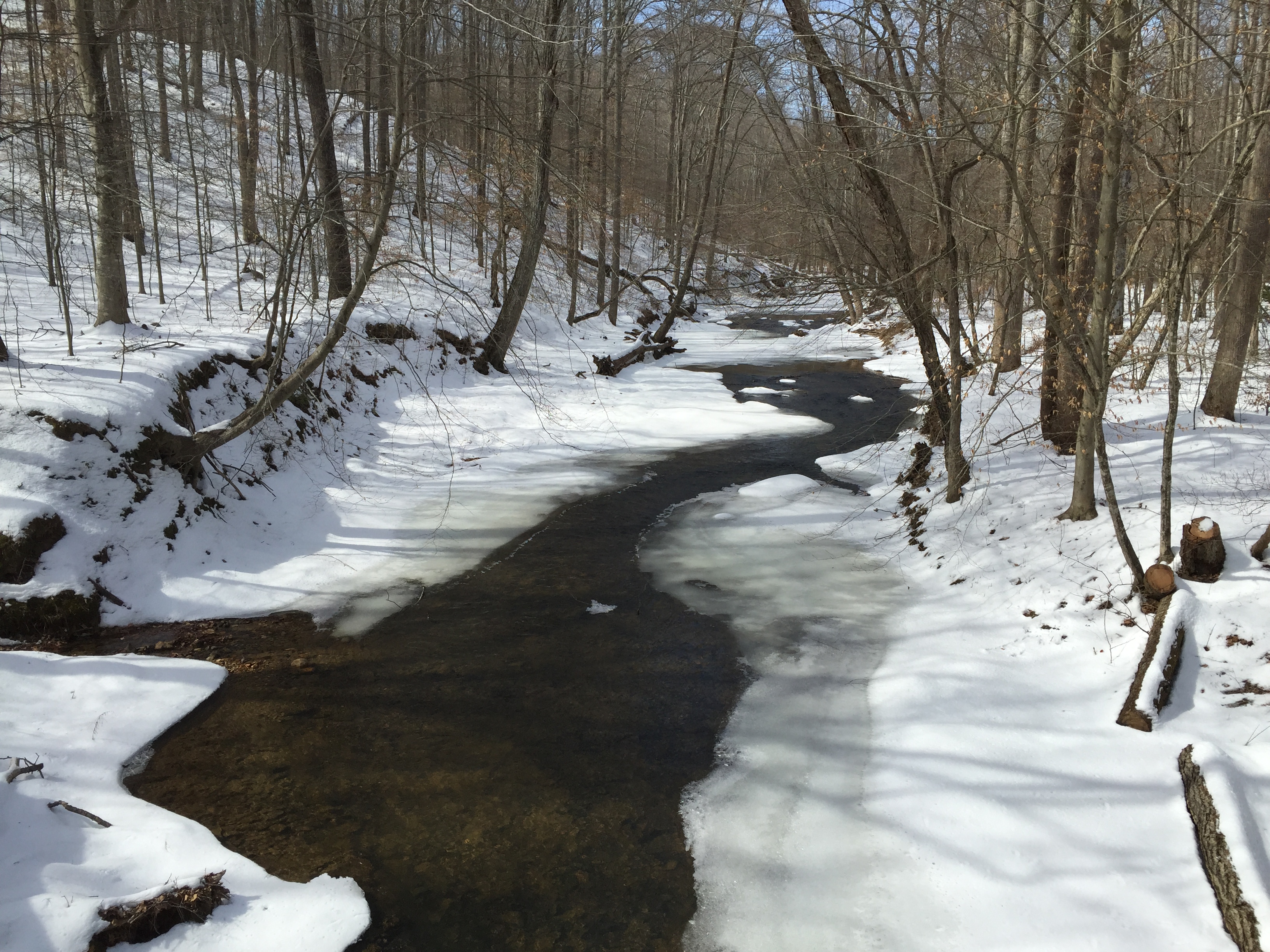
Day 59 - Quantico Creek, Prince William Forest Park, Triangle, Virginia

In the woods

Government Island

Patawomeck Park

morning has broken... Agfa Ultra 50

Power over the landscape

1943: Night Landing on Tinian

Mallows Bay kayak trip
Topographic Map of Washington Dr, Stafford, VA, USA
Find elevation by address:

Places near Washington Dr, Stafford, VA, USA:
Aquia Harbour
117 Channel Cove
115 Coachman Cir
565 Stafford Glen Ct
214 Tanglewood Ln
8 Sydney Ln
Starbucks
Garrisonville
102 Quarry Rd
Stafford
Stafford County
227 Jennifer Ln
209 Eaton Ct
Widewater Trail
550 Courthouse Rd
Aquia
53 Shelton Shop Rd
44 Old Fort Ln
7 Cattail Ct
Shelton Shop Rd, Stafford, VA, USA
Recent Searches:
- Elevation of Corso Fratelli Cairoli, 35, Macerata MC, Italy
- Elevation of Tallevast Rd, Sarasota, FL, USA
- Elevation of 4th St E, Sonoma, CA, USA
- Elevation of Black Hollow Rd, Pennsdale, PA, USA
- Elevation of Oakland Ave, Williamsport, PA, USA
- Elevation of Pedrógão Grande, Portugal
- Elevation of Klee Dr, Martinsburg, WV, USA
- Elevation of Via Roma, Pieranica CR, Italy
- Elevation of Tavkvetili Mountain, Georgia
- Elevation of Hartfords Bluff Cir, Mt Pleasant, SC, USA