Elevation of Garrisonville, VA, USA

Location: United States > Virginia > Stafford County >

Longitude: -77.418544

Latitude: 38.4690734

Elevation: 53m / 174feet

Barometric Pressure: 101KPa

Elevation Map:

elevation map of Garrisonville, VA, USA

Satellite Map:

Satellite map of Garrisonville, VA, USA

Related Photos:

photosbymch landscape sunset river bay pier shipwreck ghostfleet mallowsbay potomacriver maryland usa 2017 canon 5dmkiv sky clouds summer
Sunset over Mallows Bay
travel abstract building geometric glass lines usmc museum architecture canon reflections 50mm virginia marine availablelight steel angles structure diagonal 7d atrium ef beams structural girders quantico primelens buildingstructure ef50mmf12lusm flickraward theworldofarchitecture canoneos7d zajdowicz
National Museum of the Marine Corps
usa maryland potomacriver ghostships scuttled mallowsbay 0000fftextalignleftview
Ghost Ships in Mallows Bay
plane virginia flying unitedstates transport planes airliner fredricksburg panamericanworldairways douglasdc3c clippertabithamay nc33611clippertabithamaycn19677 staffordregionalrmnkrmn staffordwingandwheels2014
Basking In the Morning Sun
militaryhistory americanhistory vietnamwar unitedstatesmarinecorps princewilliamcounty trianglevirginia theprofessionals marinecorpsbasequantico nationalmuseumofthemarinecorps oldkingshighway marinecorpsheritagefoundation ghostbattalion semperfidelismemorialpark 2ndbattalion1stmarines klinememorialsmanassasvirginia
The Ghost Battalion (2nd Battalion, 1st Marines): Semper Fidelis Memorial Park
sunset sky blackandwhite bw usa abandoned beach nature water monochrome docks ir evening virginia us blackwhite condemned sand nikon scenery dusk decay unique unitedstatesofamerica neglected january photographs adobe shore va land infrared pilings d200 nikkor quays decline derelict ruraldecay magichour deteriorated decayed dilapidated goldenhour nightfall 2012 crumbling modded rundown ruined stafford brokendown shabby wharves pierswharves landings decrepitude infraredphotography fallendown nikond200 720nm ruralbeach 18200mmf3556gvr rurallandscape nikon18200f3556 invisiblelight customfilter abandonedpier lightroom3 convertedinfraredcamera boatlandings nikond200ir danilew kodaktmax100preset blackandwhitefilmpresetsbydigitalphotobuzzcom
abandoned pier at sunset - black & white infrared
worldwari memorials militaryhistory americanhistory unitedstatesmarinecorps princewilliamcounty ironmike trianglevirginia marinecorpsbasequantico nationalmuseumofthemarinecorps marinecorpsheritagefoundation semperfidelismemorialpark 6thmarinecorpsregiment
"Iron Mike" 6th Regiment Tribute, National Museum of the Marine Corps
mountainviewhighschool staffordcounty staffordcountypublicschools 2135mountainviewroad staffordva22554 mountainviewwildcats
Mountain View High School in Stafford County
northstafford newsinglefamilyhomes newlandcommunities newhomecommunities staffordcountyvirginia newtownhomes newtownhouses newhomescommunities embreymillsubdivision newhomesubdivisions
Embrey Mill Subdivision by Newland Communities
ryanhomes mountainviewroad lakesidehomes staffordcounty staffordvirginia estatehomes lakeabel lakeestates
Lake Estates in Stafford, Virginia
staffordcountyvirginia georgelgordonjrgovernmentcenter 1300courthouseroad staffordcountyadministrationcenter
Stafford County Administration Center
virgin sunset clouds platinumheartaward virginatlantic plane wing
View from the Virgin plane at sunset
usmc virginia unitedstatesmarinecorps nationalmuseumofthemarinecorps
National Museum of the Marine Corps
2016 04-05 3:38PM--CSX ES40DC-5302 S/B T315, AMTK P42DC-44 N/B 80 Carolinian, Stafford, VA
firerescue staffordcounty mountainviewvolrescuesquad
Mountain View Vol. Rescue Squad
Boardwalk to Government Island
Government Island Quarry
Government Island
usmc turnerfield quantico unitedstatesmarinecorps usmarines vintageaircraft nyg worldwariiaircraft antiqueaircraft nationalmuseumofthemarinecorps preservedaircraft voughtf4ucorsair voughtcorsair 97369 museumaircraft voughtf4u4corsair knyg n5214v
Vought F4U-4 Corsair (97369) (N5214V)
virginia flying unitedstates airshow planes fredricksburg royalnavy strikefighter britishaerospaceseaharrierfa2 ltcolartnalls staffordregionalrmnkrmn staffordwingandwheels2014 n94422xz439cn912002db2
Autumn Heat Wave
virginia flying unitedstates planes fredricksburg goldenknightsparachuteteam usarmygoldenknights staffordregionalrmnkrmn staffordwingandwheels2014 1080263cn862 8wayfreefallformationteam dehavillandcanadauv18ctwinotterdhc6400
Black and Gold Twin Otter
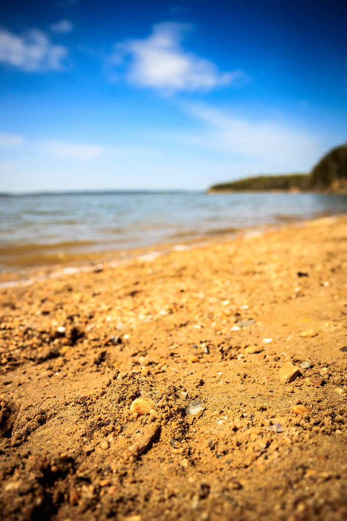
nanjemoy maryland unitedstates us pursestatepark md beach potomac potomacriver sand pebbles water tide surf skies clouds bokeh landscape outdoors nature outside sunny rock
Sand Pebbles
nonprofits southwings transportation virginia aerial environment unitedstates camera:model=canoneos5dmarkiv exif:lens=ef70200mmf28lusm camera:make=canon geocity exif:aperture=ƒ45 exif:focallength=70mm geo:country=unitedstates geostate exif:isospeed=1600 exif:model=canoneos5dmarkiv exif:make=canon
Stafford County, Va.
waterfalls fredericksburgvirginia staffordcountyvirginia abellake abelreservoir
Abel Lake Falls in Stafford County, Virginia
Mallows Bay kayak trip
subdivision newhomes communitypool staffordvirginia embreyhouse embreymill 25apricotstreet masterplanedcommunity
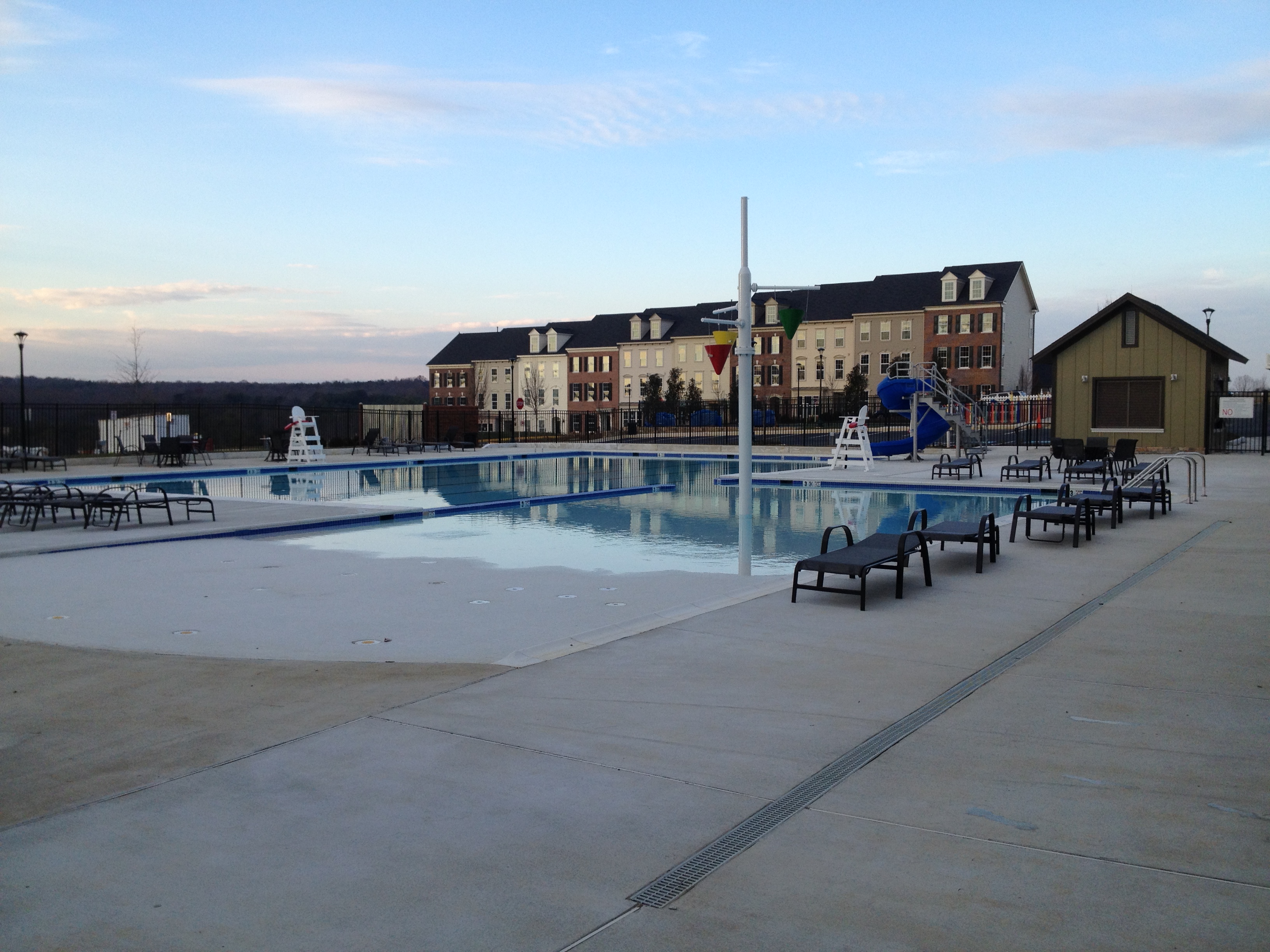
Embrey Mill Community Pool, North Stafford
princewilliam forest nationalpark hiking winter cold quanticocreek creek water northvalleytrail
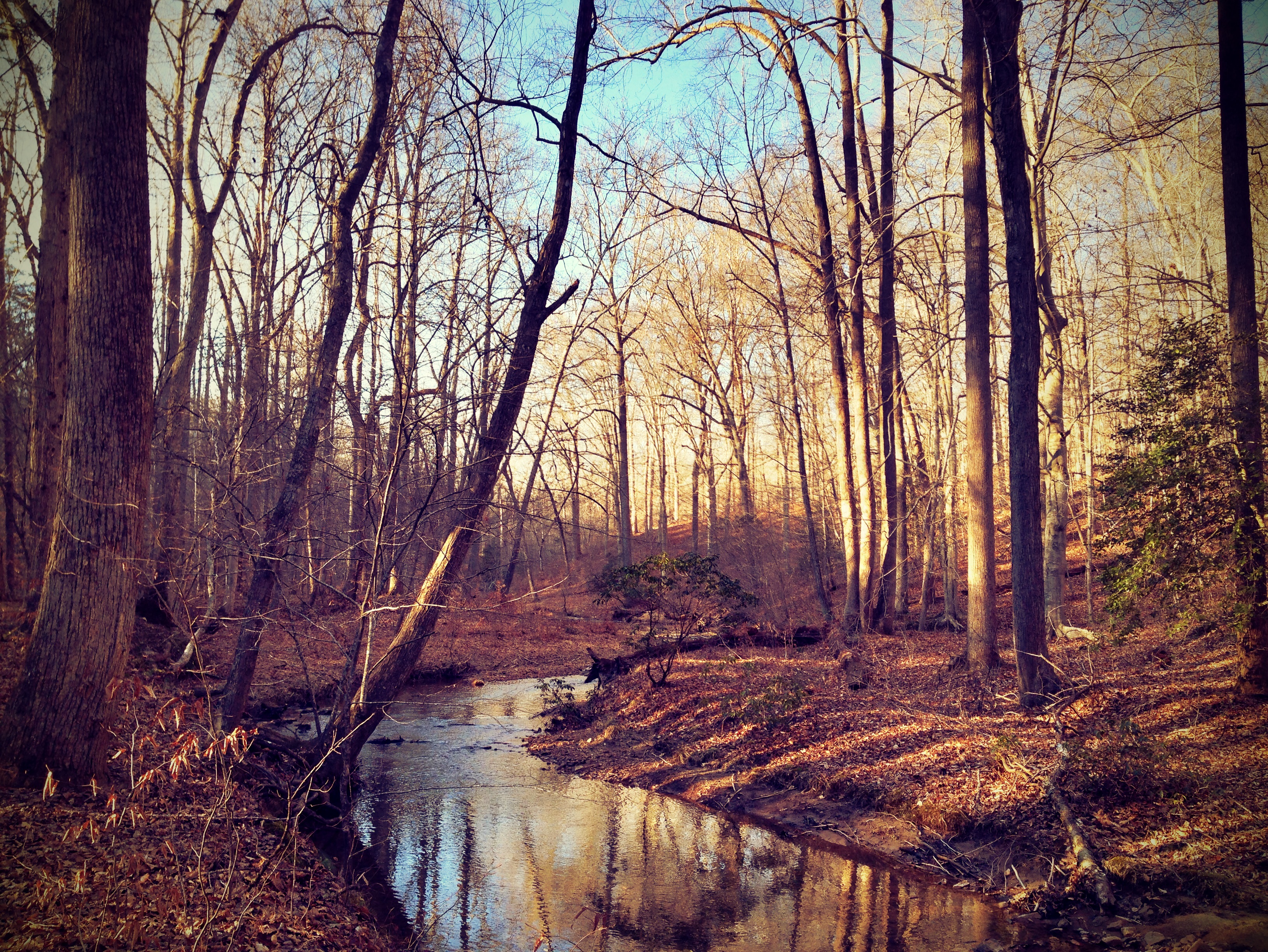
Prince William Forest National Park - January Walk - Pretty creek
Prince William Forest Park, Triangle, Virginia
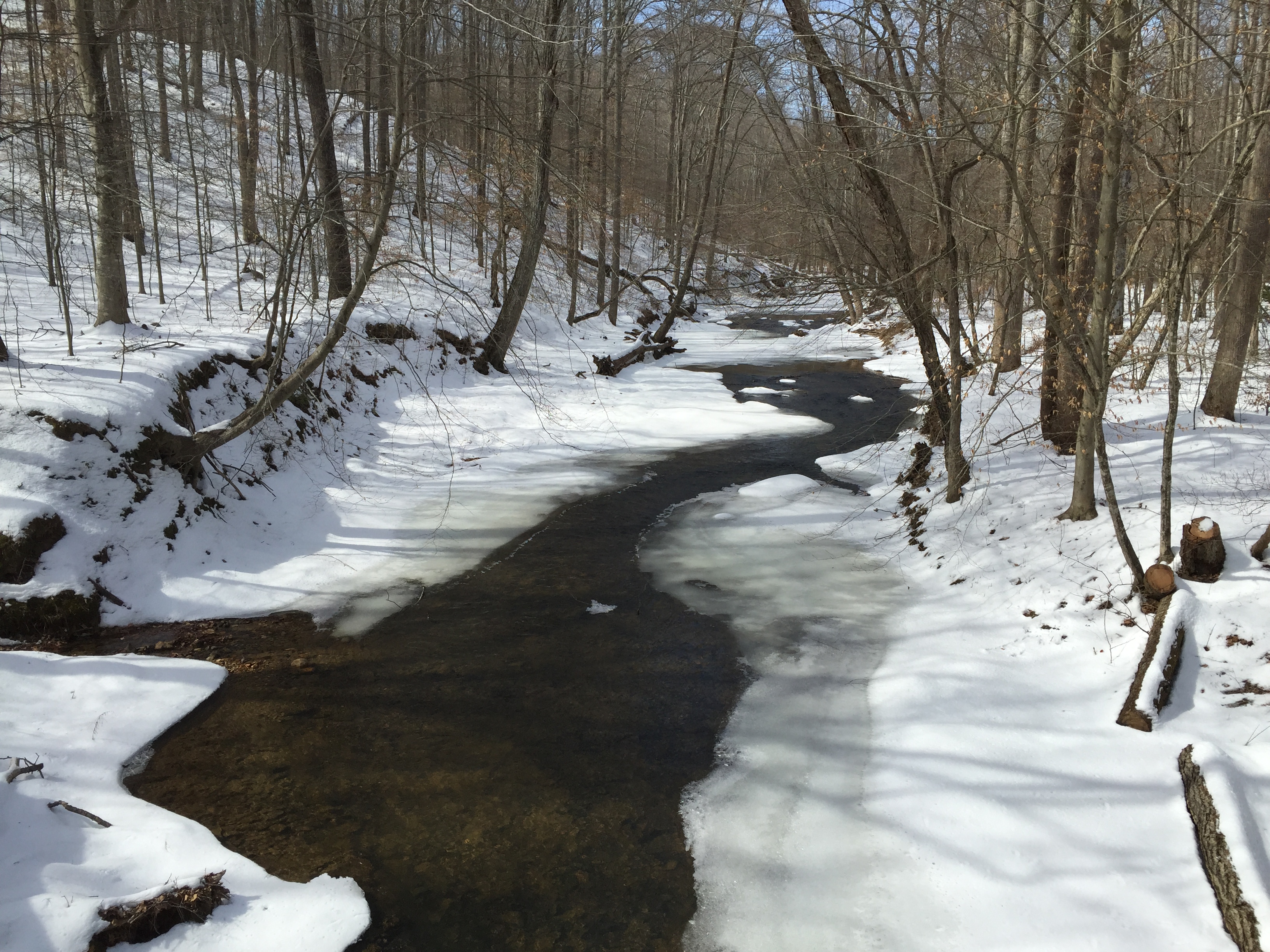
Day 59 - Quantico Creek, Prince William Forest Park, Triangle, Virginia
virginia unitedstates stafford
In the woods
governmentisland aquia stafford virginia usa unitedstates northamerica nature landscape
Government Island
governmentisland aquia stafford virginia usa unitedstates northamerica nature landscape
Government Island
governmentisland aquia stafford virginia usa unitedstates northamerica nature landscape
Government Island
park virginia hdr stafford patawomeck
Patawomeck Park
fallfoliage bronica ectl
morning has broken... Agfa Ultra 50
usa clouds landscape virginia unitedstates electricity pylons fredericksburg stafford phototype canoneos60d efs18200mmf3556is
Power over the landscape
usmc marines worldwarii pacificocean amphibiousassault marinecorpsmuseum war silhouettes tinian
1943: Night Landing on Tinian
austinrun dc districtofcolumbia governmentisland potomacriver recreation staffordcounty virginia washington waterbodies environment outdoors publicaccess unitedstates camera:model=canoneos5dmarkiv exif:focallength=28mm camera:make=canon geocity geostate exif:isospeed=640 exif:aperture=ƒ56 exif:lens=ef24105mmf4lisusm geo:country=unitedstates exif:model=canoneos5dmarkiv exif:make=canon
Government Island Park in Stafford County, Va.