Elevation of Washington County, KY, USA
Location: United States > Kentucky >
Longitude: -85.147936
Latitude: 37.7516142
Elevation: 225m / 738feet
Barometric Pressure: 99KPa
Elevation Map:
Satellite Map:
Related Photos:
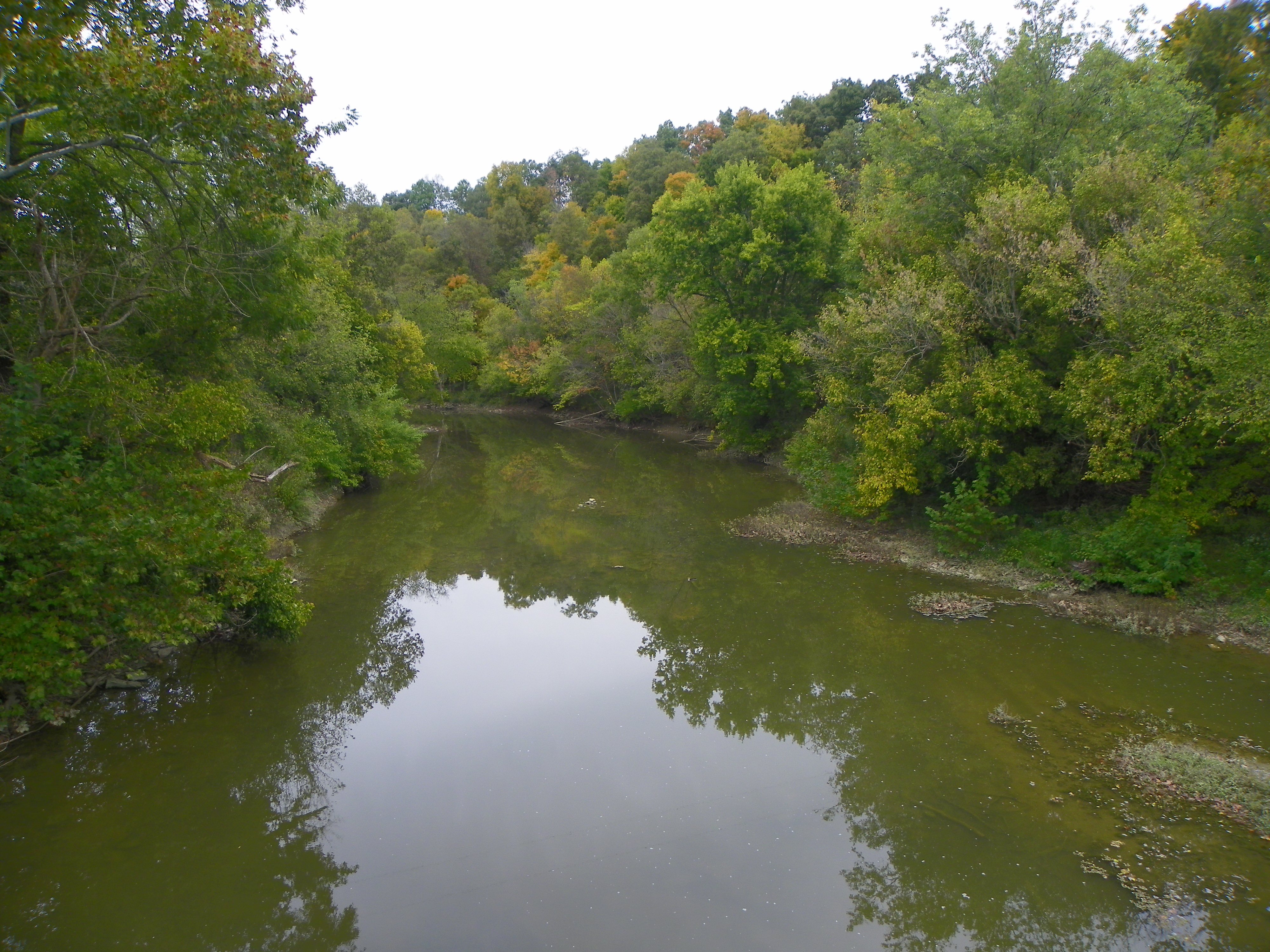
Beech Fork Creek, view from Mt. Zion Covered Bridge
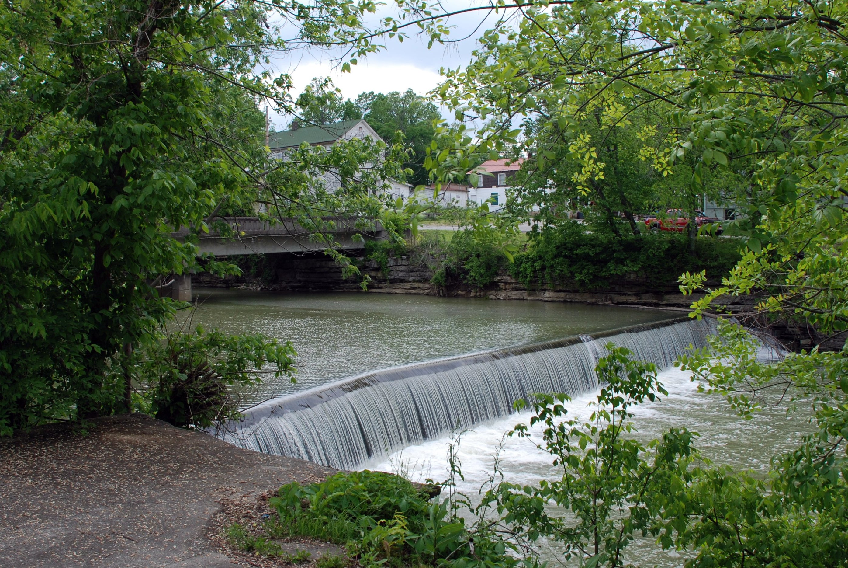
Mill Dam

Divine light.

06-08-2014-09-49-541-HDR-device-2000-wm

On our way to somewhere else.

Super moon 06.23.13

Country Sunrise

07.21.13 Stars 007com

Springfield Kentucky

Sunrise over cemetery

Duck Duck Goose

Kentucky Deer 02
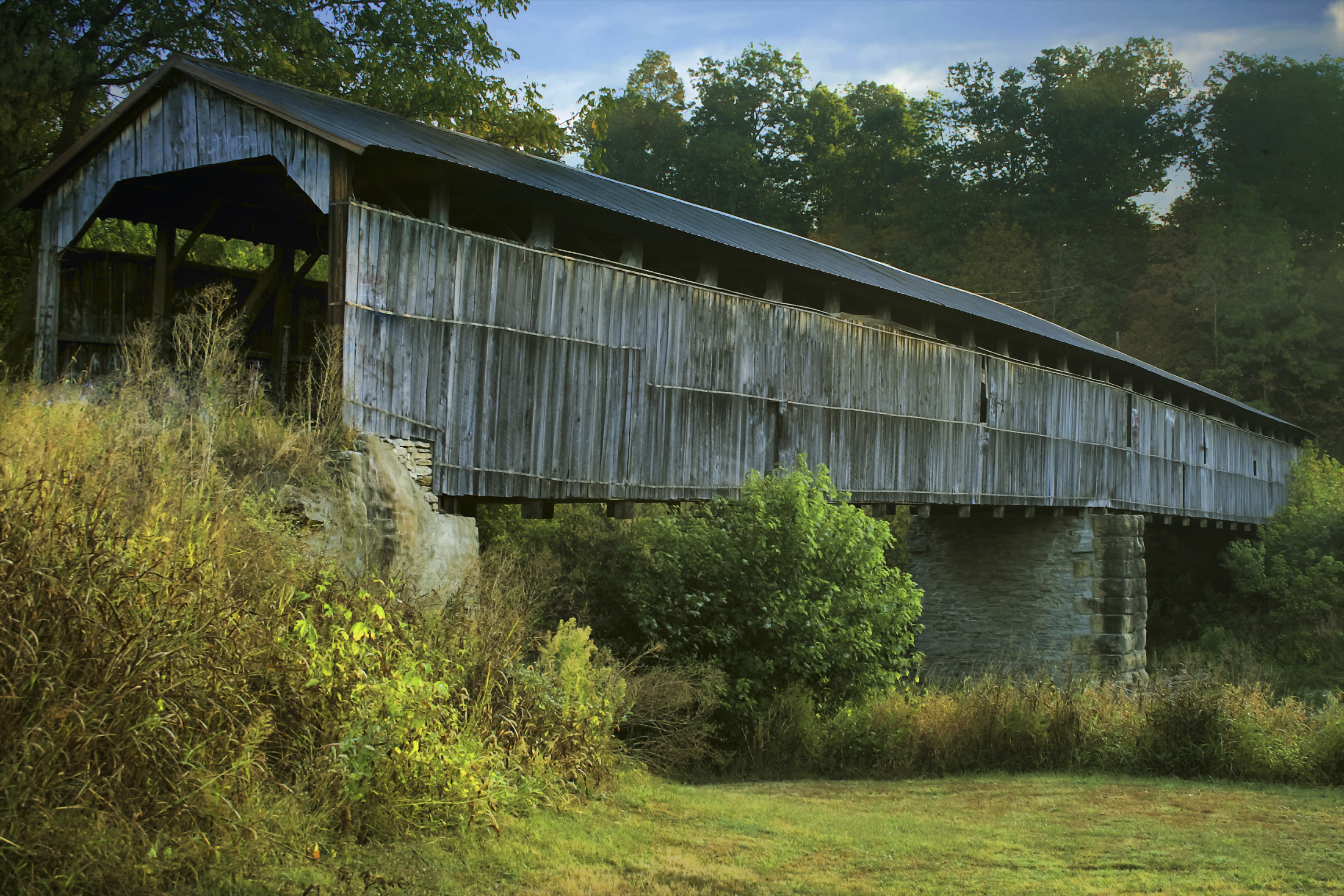
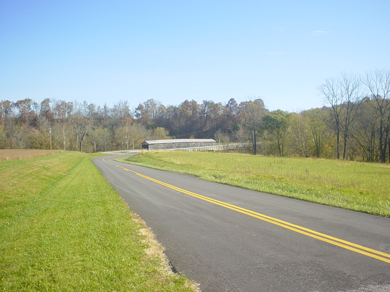
WC Covered Bridge 03
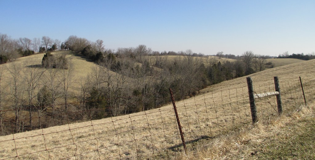
Central Kentucky Landscape (Washington County, Kentucky)
Mooresville Bridge, Washington Co, KY

On the field.

Curious cows
Topographic Map of Washington County, KY, USA
Find elevation by address:

Places in Washington County, KY, USA:
Places near Washington County, KY, USA:
Triple 5 Hwy, Springfield, KY, USA
Mackville Rd, Springfield, KY, USA
200 Little Davis Ln
Willisburg
Mackville
Springfield
Jimtown Rd, Springfield, KY, USA
Mackville Harrodsburg Rd, Mackville, KY, USA
Rosary Heights Rd, Springfield, KY, USA
2771 Baker Ridge Rd
45 Lakeview Manor
Bloomfield Rd, Springfield, KY, USA
Kays Road
3409 Jimtown Rd
3409 Jimtown Rd
Loretto Rd, Springfield, KY, USA
407 Howard Ln
675 Bradley Ln
Bloomfield Rd, Springfield, KY, USA
130 Ole Mill Rd
Recent Searches:
- Elevation of Corso Fratelli Cairoli, 35, Macerata MC, Italy
- Elevation of Tallevast Rd, Sarasota, FL, USA
- Elevation of 4th St E, Sonoma, CA, USA
- Elevation of Black Hollow Rd, Pennsdale, PA, USA
- Elevation of Oakland Ave, Williamsport, PA, USA
- Elevation of Pedrógão Grande, Portugal
- Elevation of Klee Dr, Martinsburg, WV, USA
- Elevation of Via Roma, Pieranica CR, Italy
- Elevation of Tavkvetili Mountain, Georgia
- Elevation of Hartfords Bluff Cir, Mt Pleasant, SC, USA