Elevation of Howard Ln, Harrodsburg, KY, USA
Location: United States > Kentucky > Mercer County > Harrodsburg >
Longitude: -84.995403
Latitude: 37.7120058
Elevation: 250m / 820feet
Barometric Pressure: 98KPa
Elevation Map:
Satellite Map:
Related Photos:

Mill Dam

View from inside a building at Fort Harrod

View across Fort Harrod

View across Fort Harrod

Raining down sunrays

The Cornfield

Chaplin Hills sunset

Doctor's Fork, Perryville Battlefield

Perryville Battlefield, wide

Perryville Battlefield in Fall (vertical)

Perryville Battlefield

Perryville Battlefield
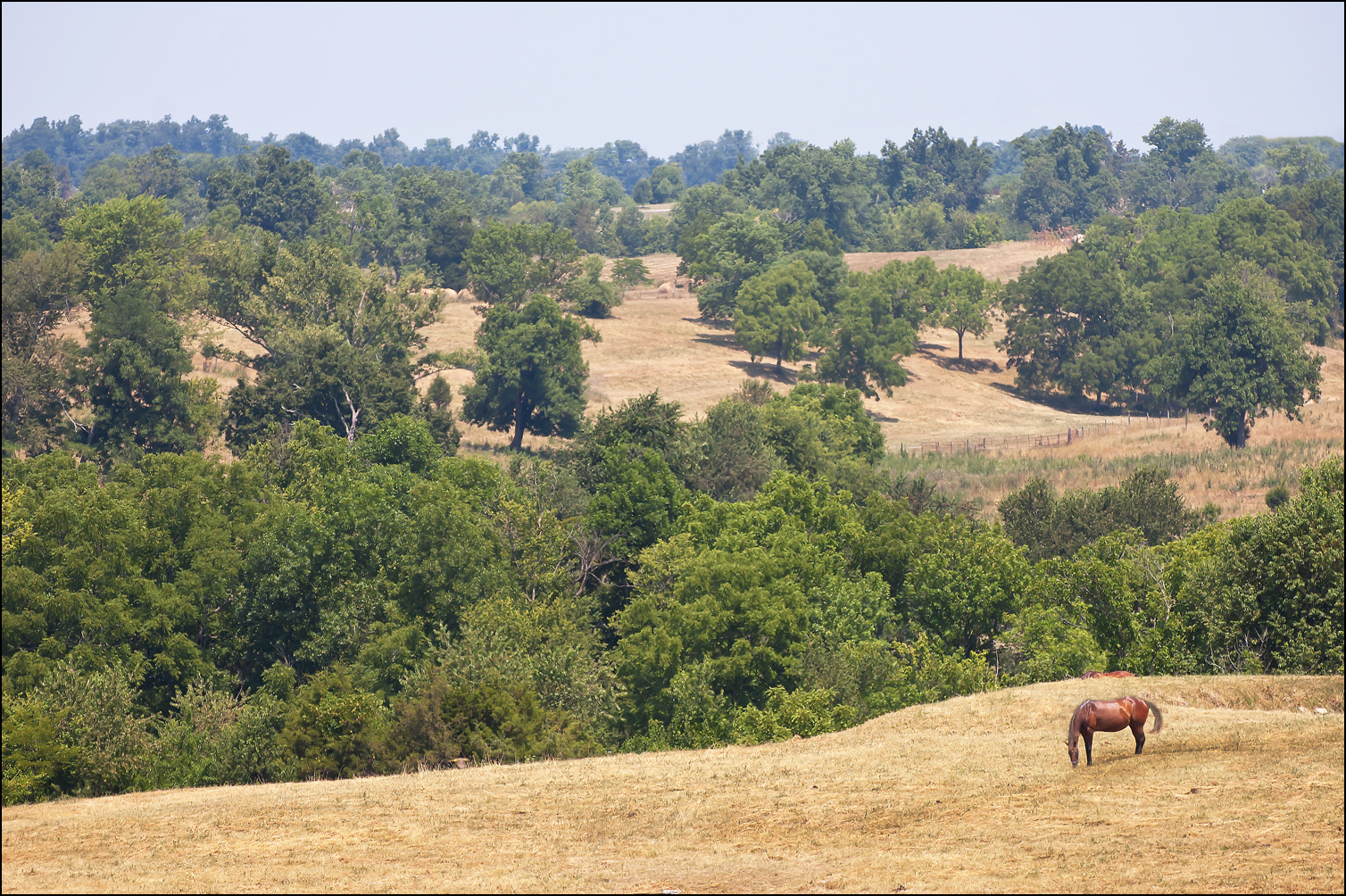
Peaceful Hills

Perryville Battlefield

Perryville Battlefield

Civil War Battle for Kentucky

Fort Harrod's Pioneer Graveyard

Perryville Battlefield

Front of Old Fort Harrod

Cows At Perryville Battlefield

I feel free

Central Kentucky Landscape (Washington County, Kentucky)

Cavalry Column

Ready For Battle
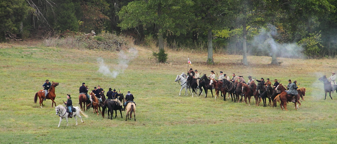
Cavalry Skirmish
Topographic Map of Howard Ln, Harrodsburg, KY, USA
Find elevation by address:

Places near Howard Ln, Harrodsburg, KY, USA:
675 Bradley Ln
Mackville Harrodsburg Rd, Mackville, KY, USA
1020 Battlefield Rd
1020 Battlefield Rd
Kays Road
Perryville
S Buell St, Perryville, KY, USA
Mackville
Perryville Rd, Harrodsburg, KY, USA
116 S Main St
Harrodsburg
850 Warwick Rd
Boyle County
Nichols St, Danville, KY, USA
Alton Rd, Danville, KY, USA
60 Westridge Dr
559 Springhill Rd
Burgin
S 3rd St, Danville, KY, USA
Danville
Recent Searches:
- Elevation of Corso Fratelli Cairoli, 35, Macerata MC, Italy
- Elevation of Tallevast Rd, Sarasota, FL, USA
- Elevation of 4th St E, Sonoma, CA, USA
- Elevation of Black Hollow Rd, Pennsdale, PA, USA
- Elevation of Oakland Ave, Williamsport, PA, USA
- Elevation of Pedrógão Grande, Portugal
- Elevation of Klee Dr, Martinsburg, WV, USA
- Elevation of Via Roma, Pieranica CR, Italy
- Elevation of Tavkvetili Mountain, Georgia
- Elevation of Hartfords Bluff Cir, Mt Pleasant, SC, USA