Elevation of Washabari Tea Garden, West Bengal, India
Location: India > West Bengal > Jalpaiguri >
Longitude: 88.5492813
Latitude: 26.8689045
Elevation: 174m / 571feet
Barometric Pressure: 99KPa
Elevation Map:
Satellite Map:
Related Photos:
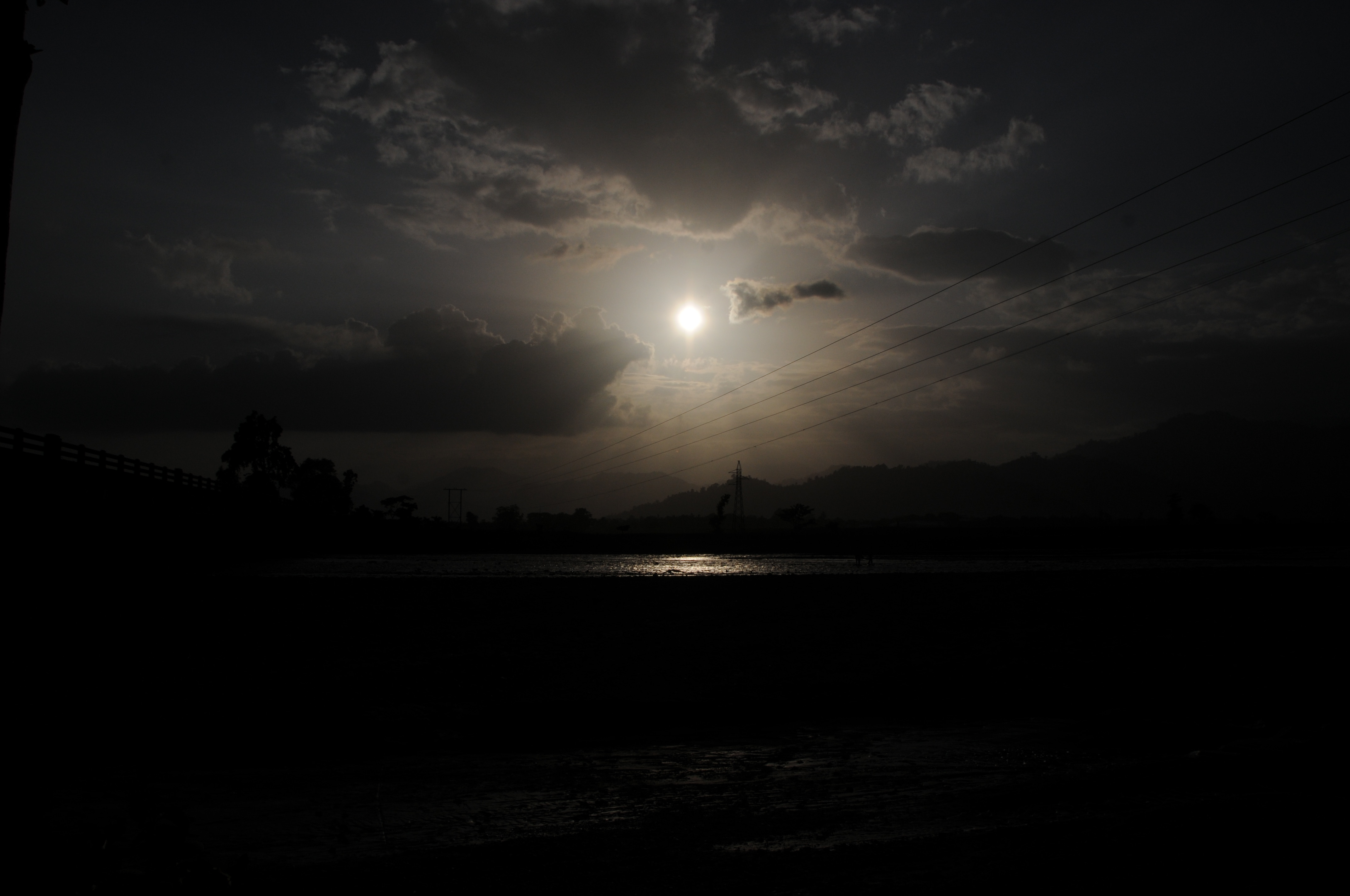
CSP_4156.JPG

CSP_4158.JPG
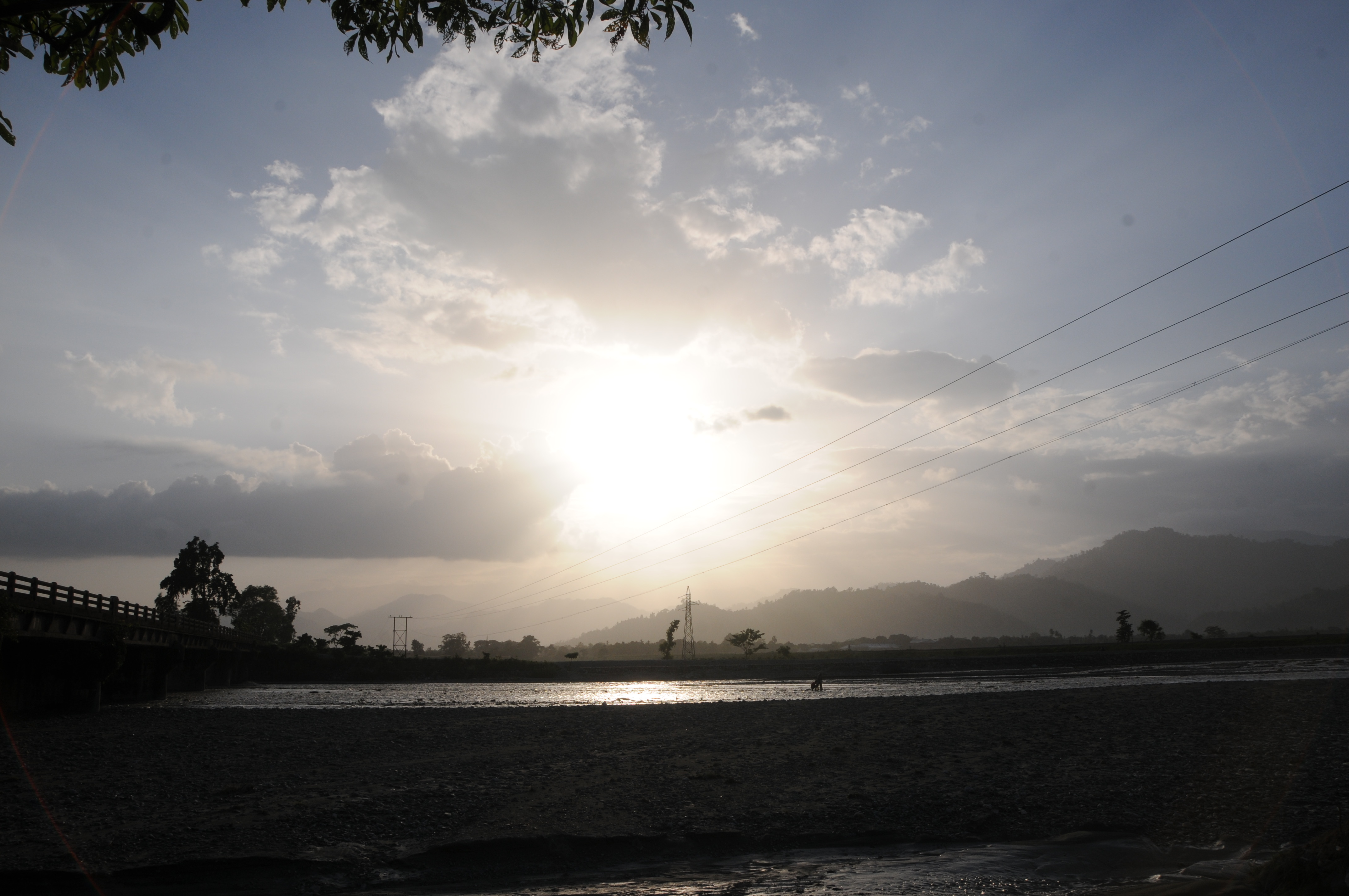
CSP_4155.JPG

CSP_4157.JPG
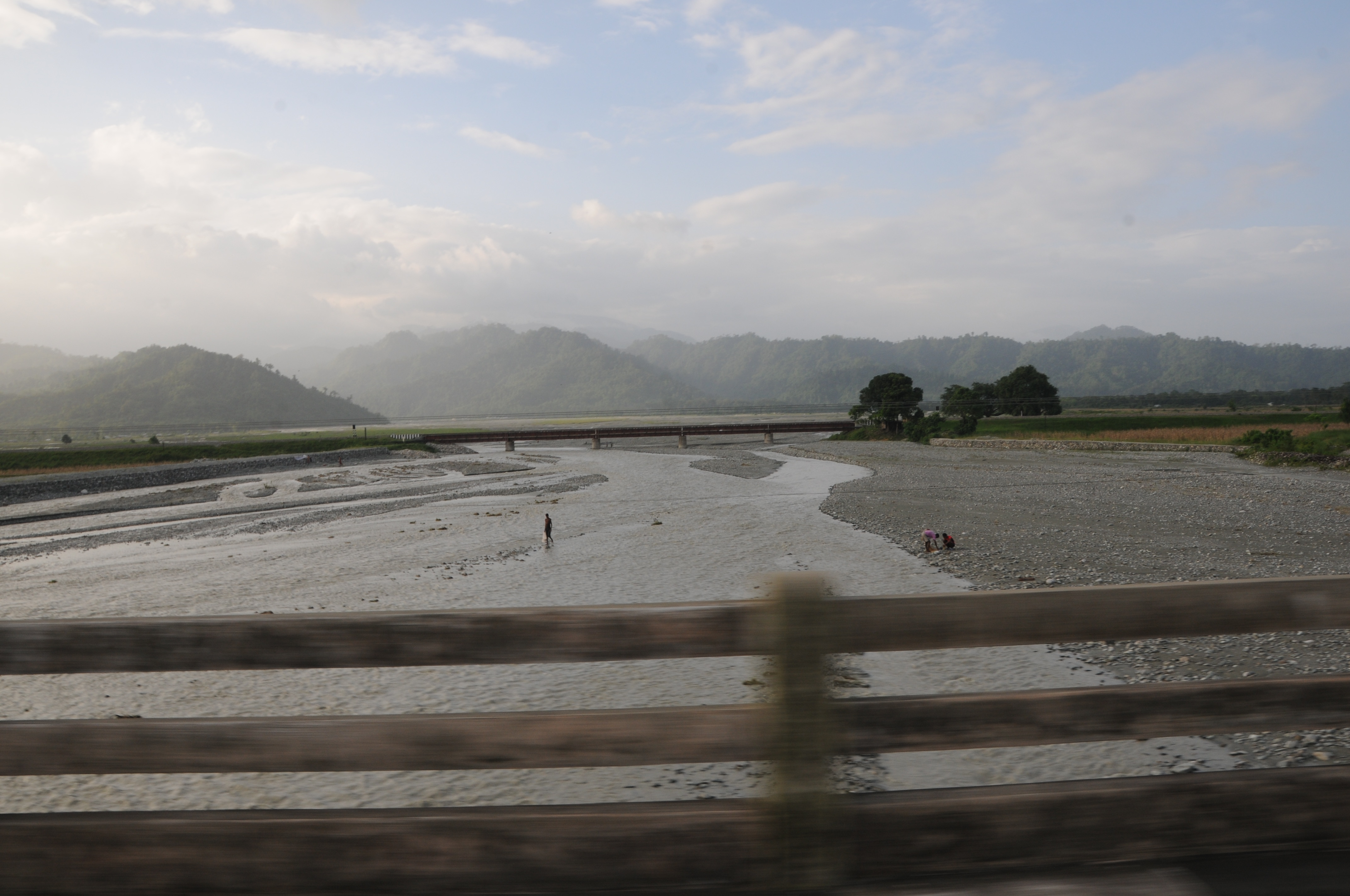
CSP_4153.JPG
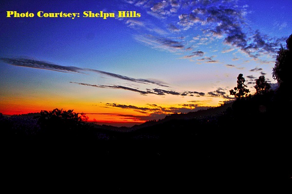
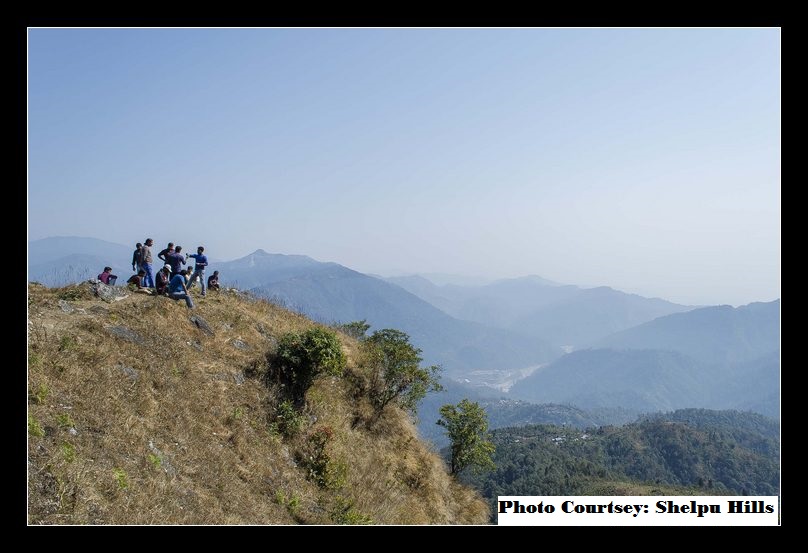
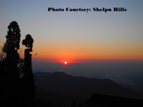
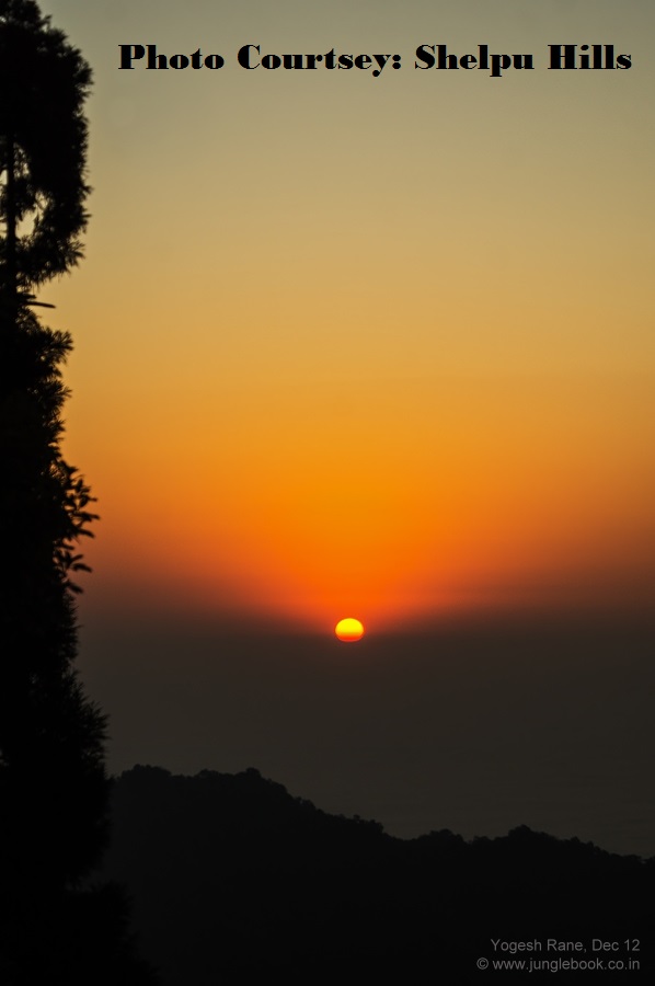
Aahal view point, Shelpu
Aahal view point, Shelpu
Aahal view point, Shelpu

Aahal view point, Shelpu
Aahal view point, Shelpu

Aahal view point, Shelpu
Manabari, West Bengal

Aahal view point, Shelpu

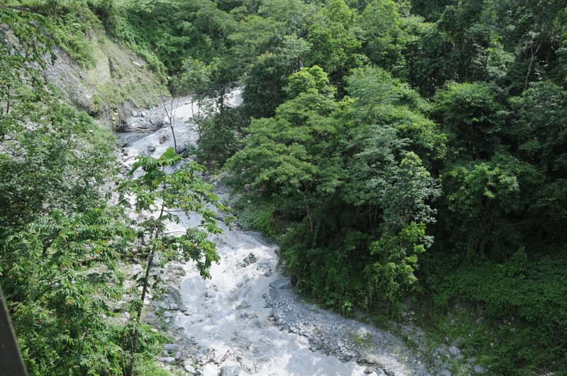
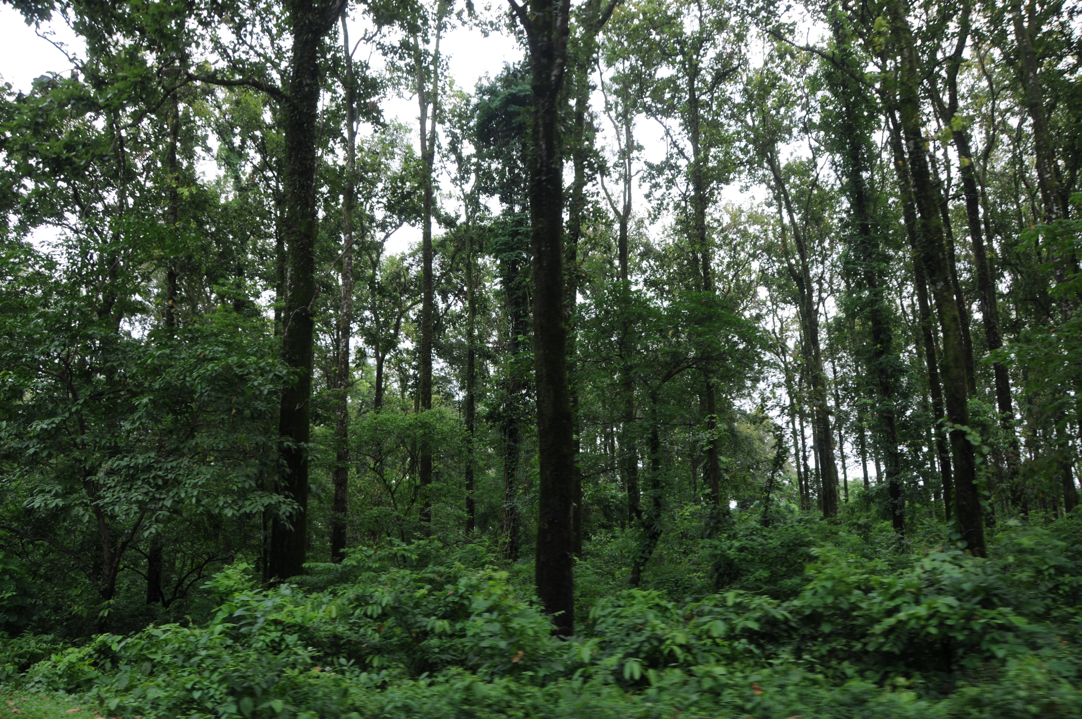
Mangpong Forest, West Bengal
Yang Makum Khasmahal, West Bengal
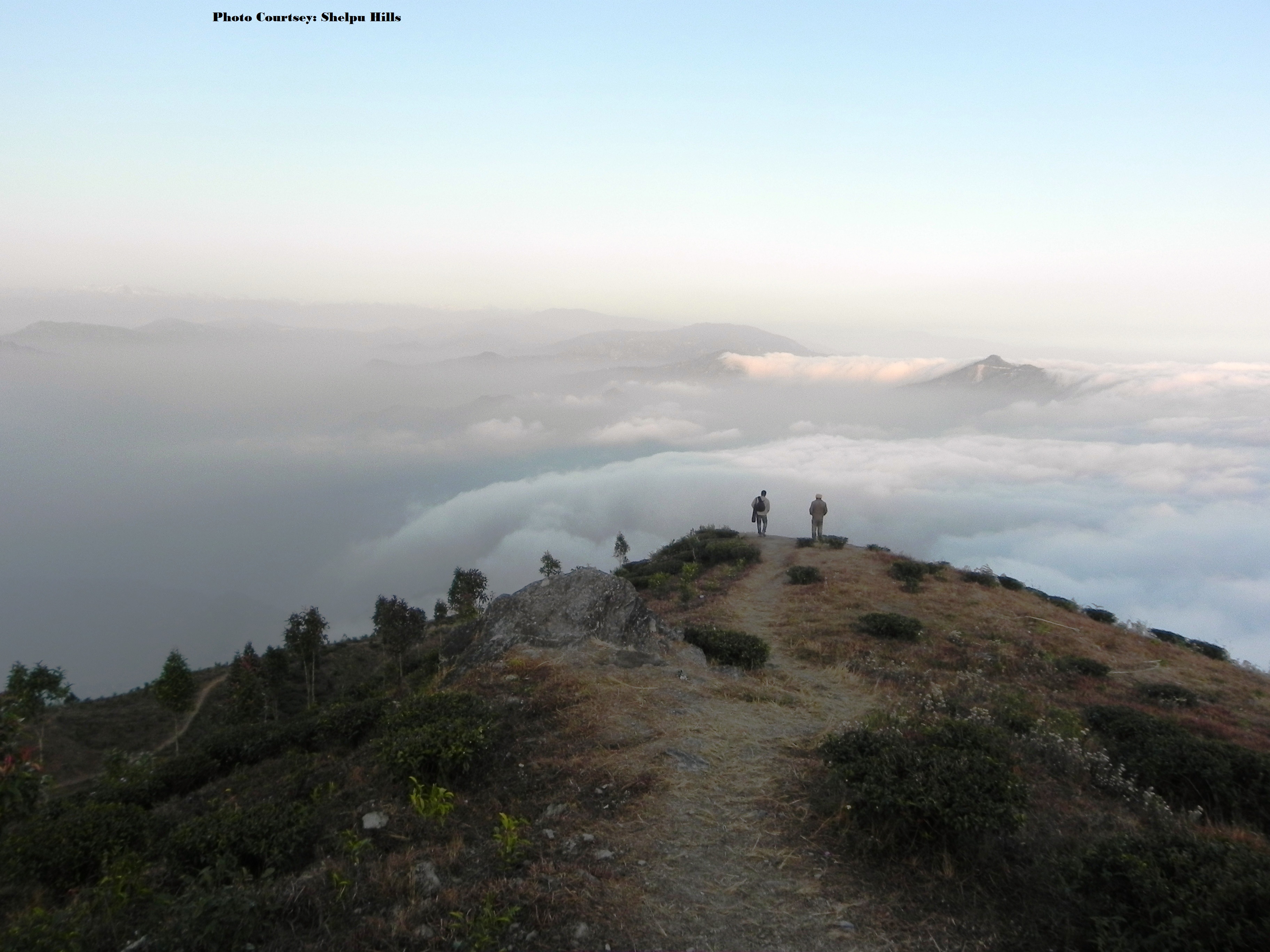
Aahal view point, Shelpu
CSP_3982.JPG
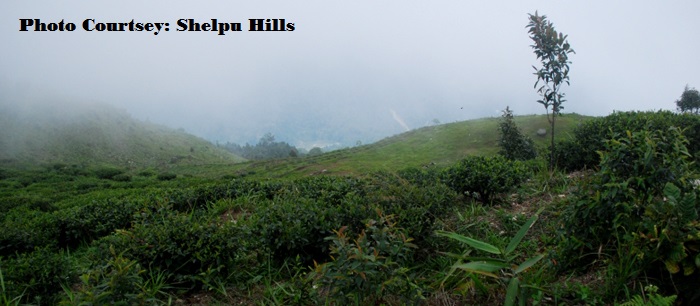
Aahal view point, Shelpu
Mangpong Forest, West Bengal

Aahal view point, Shelpu
Mangpong Forest, West Bengal
Yang Makum Khasmahal, West Bengal

CSP_3988.JPG
CSP_3981.JPG
CSP_3992.JPG

CSP_3991.JPG

Nepal-India-4317

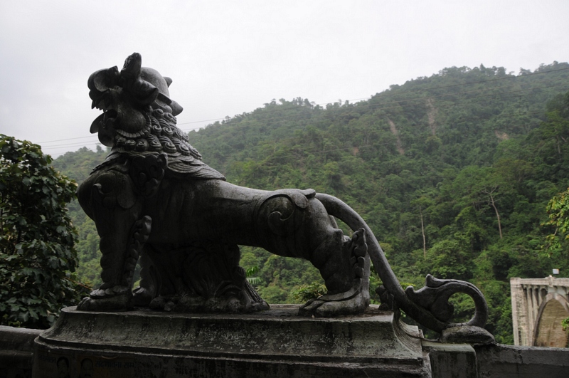
The Coronation Bridge...
En route to Gangtok, Sikkim from Siliguri, West Bengal
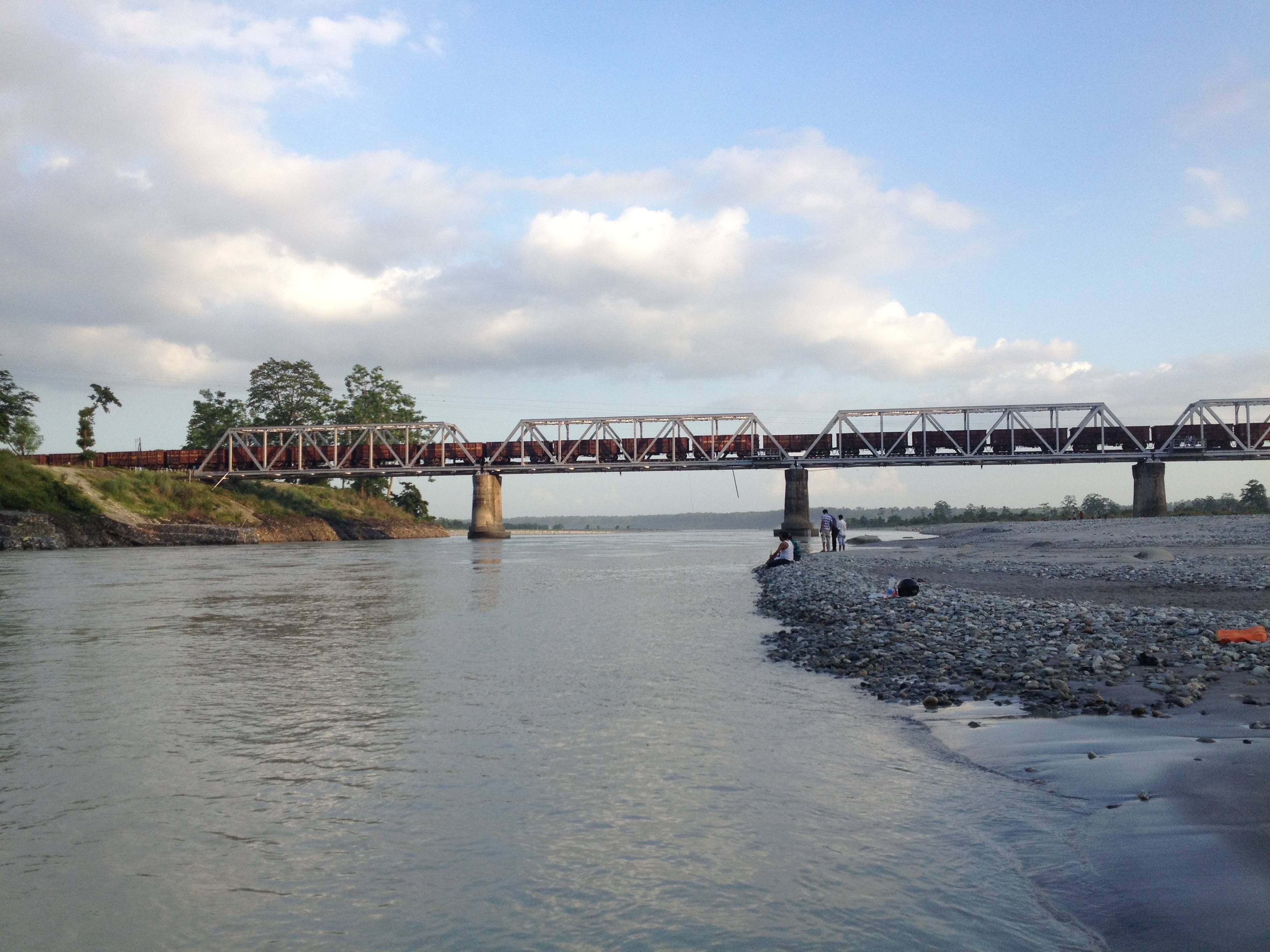
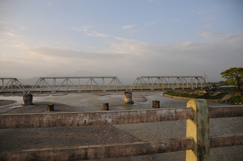
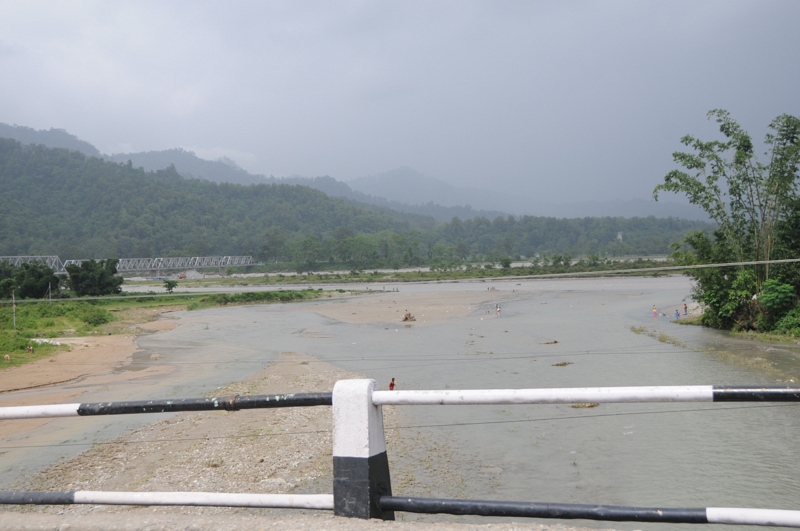
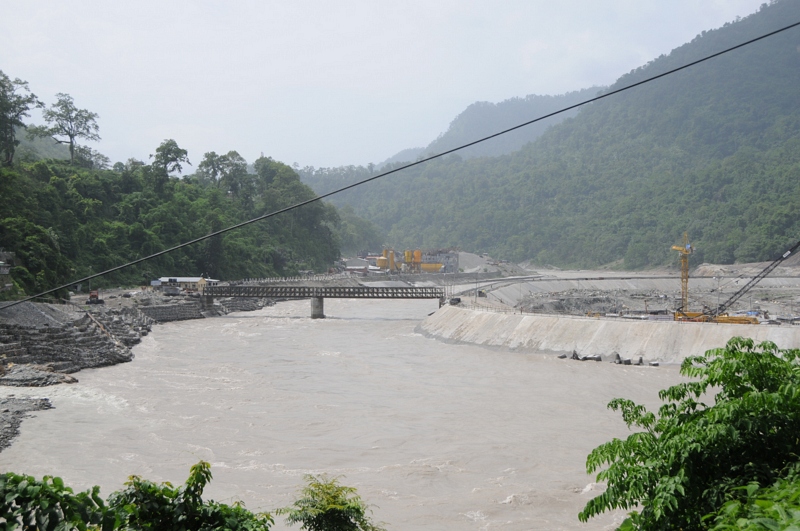
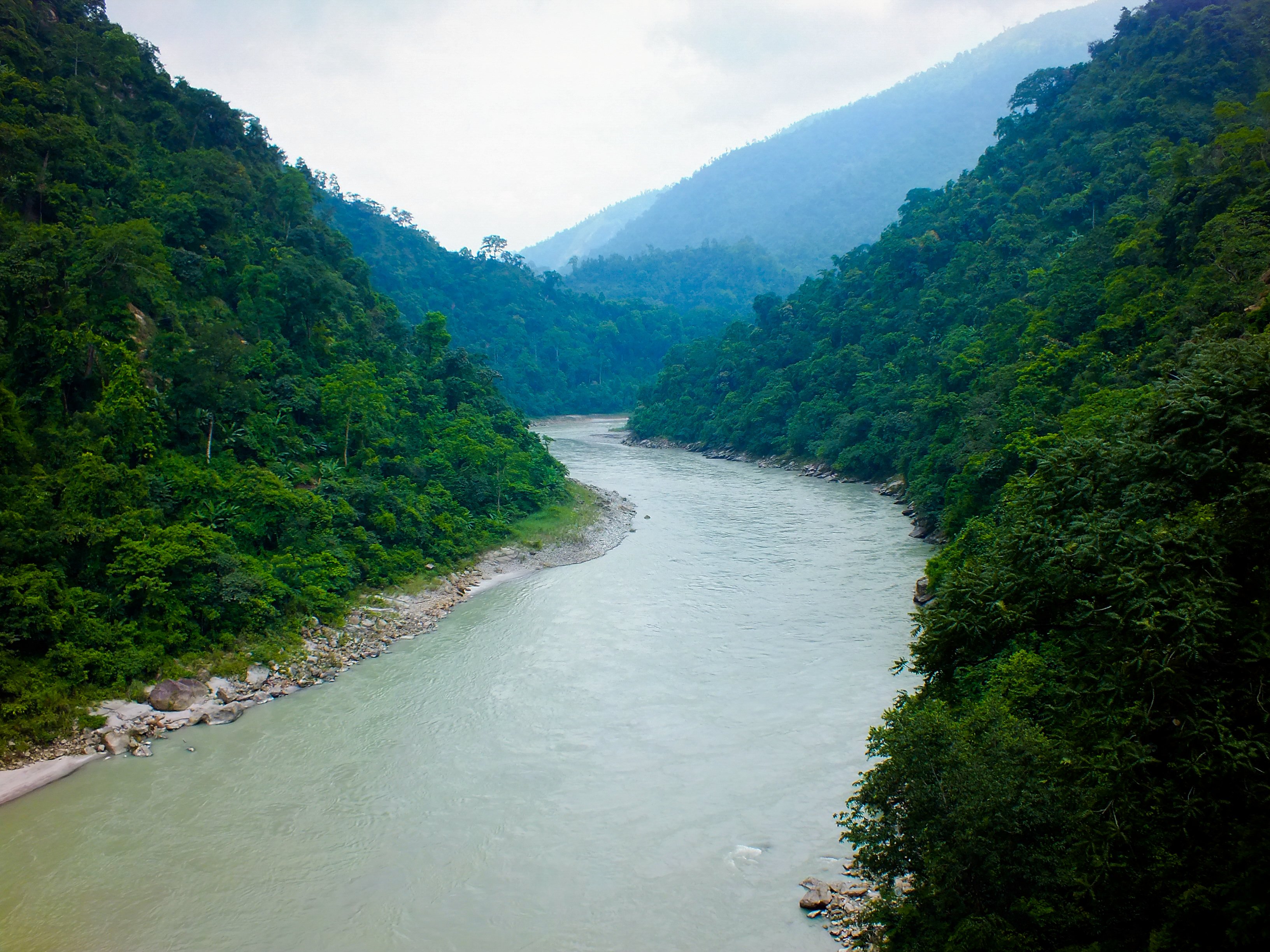
Bridge over Teesta
Bhutan Cycling
Let the mountains talk, let the river run. Once more, and forever.
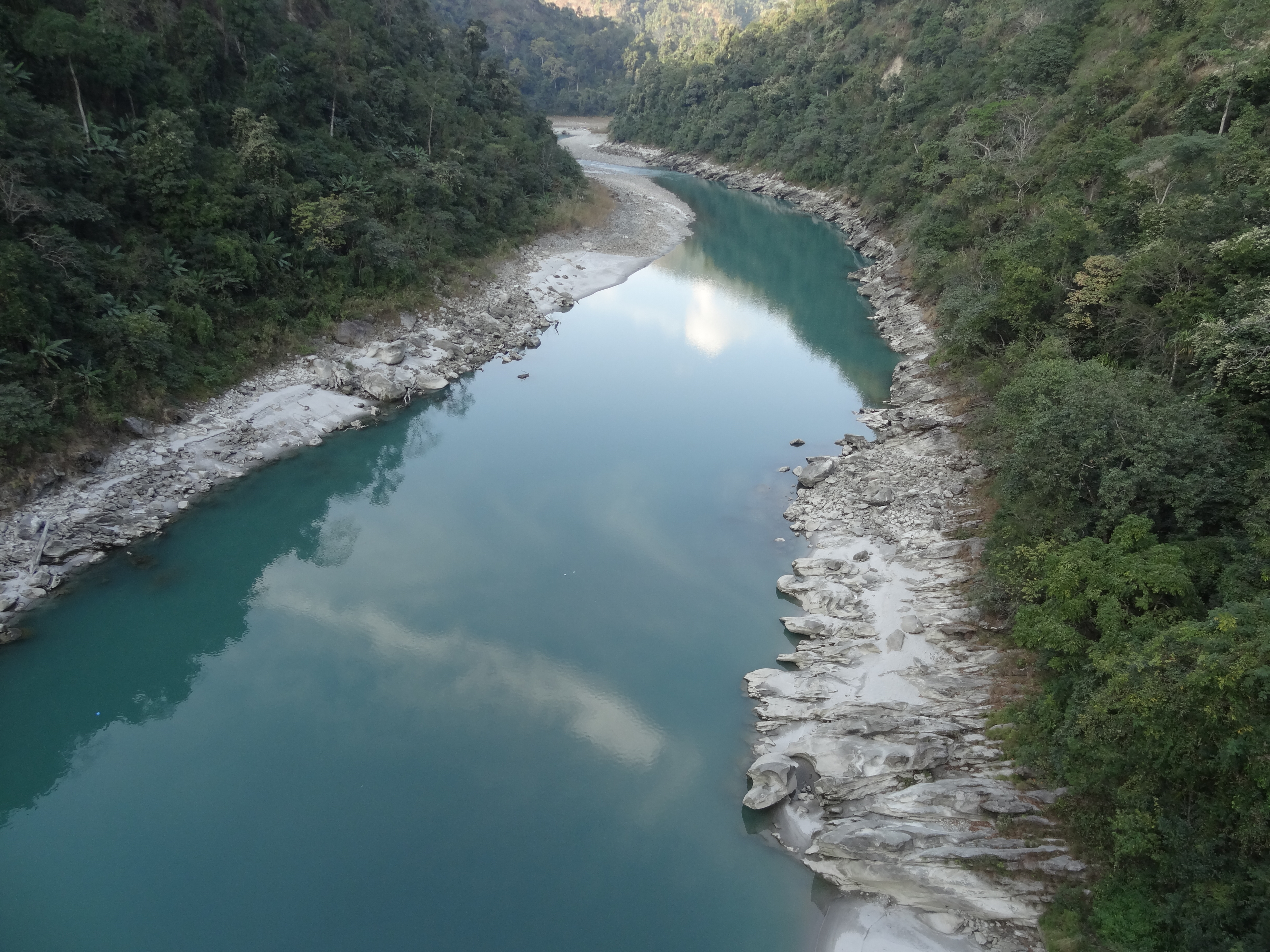
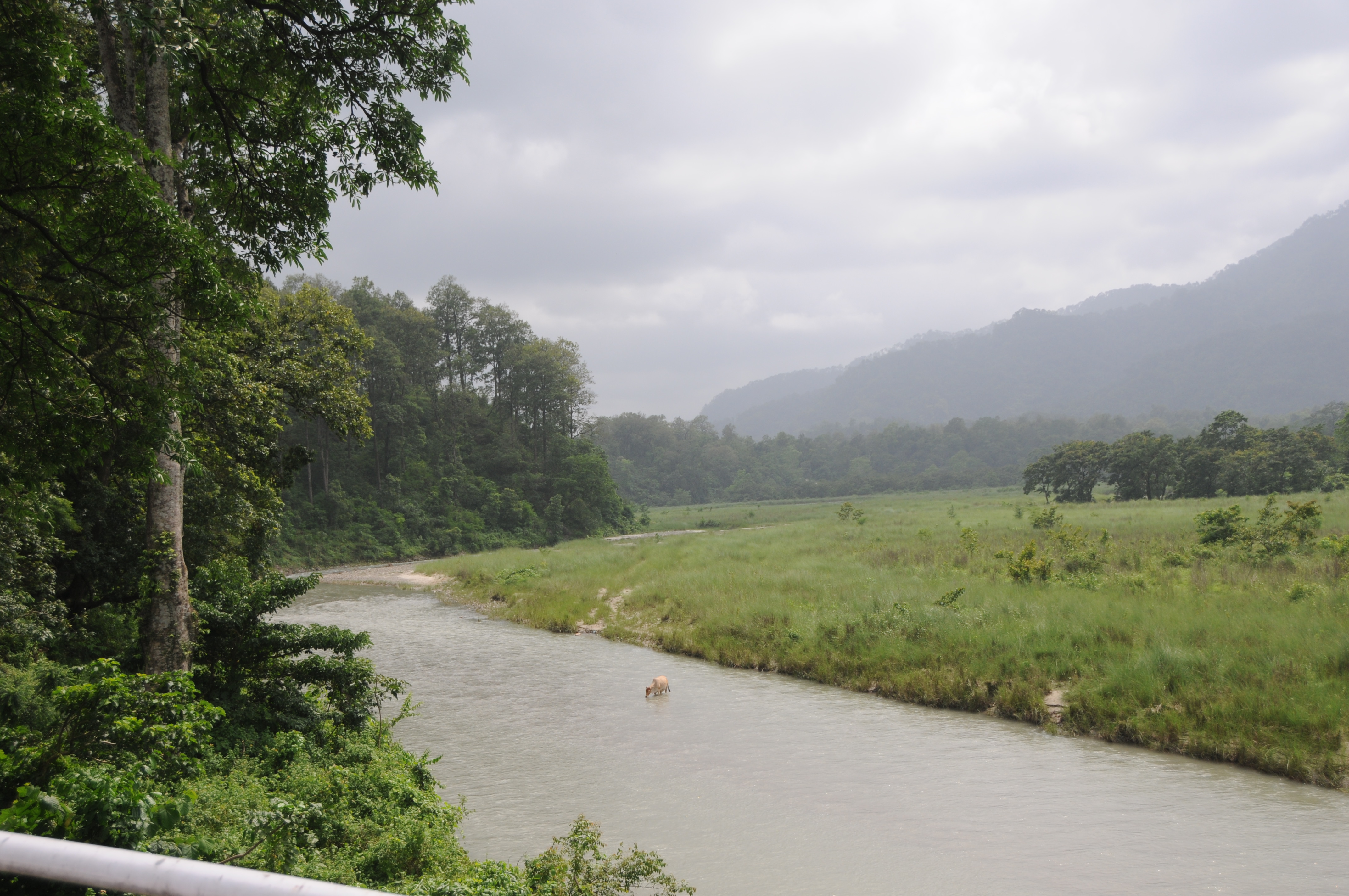
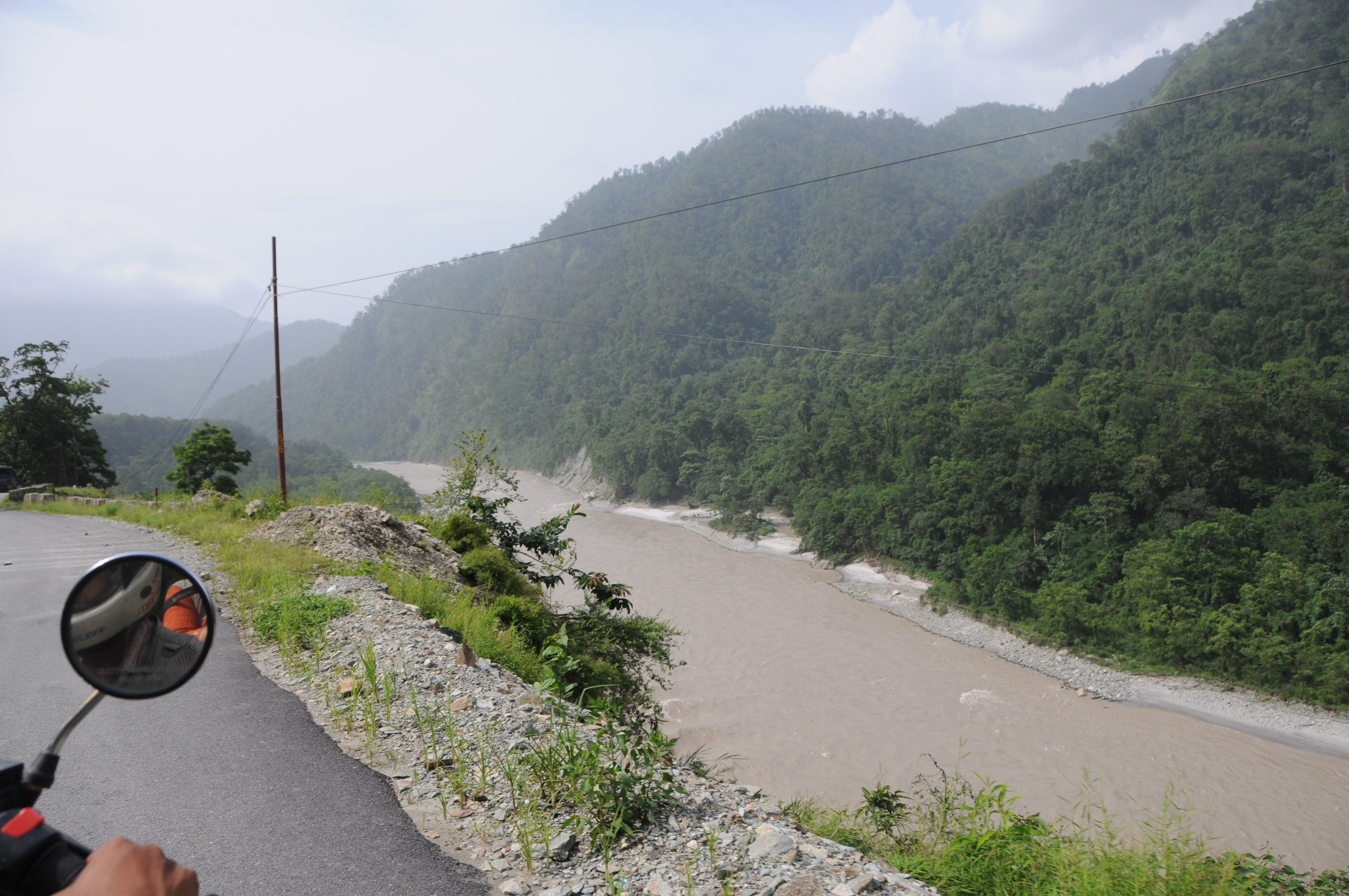
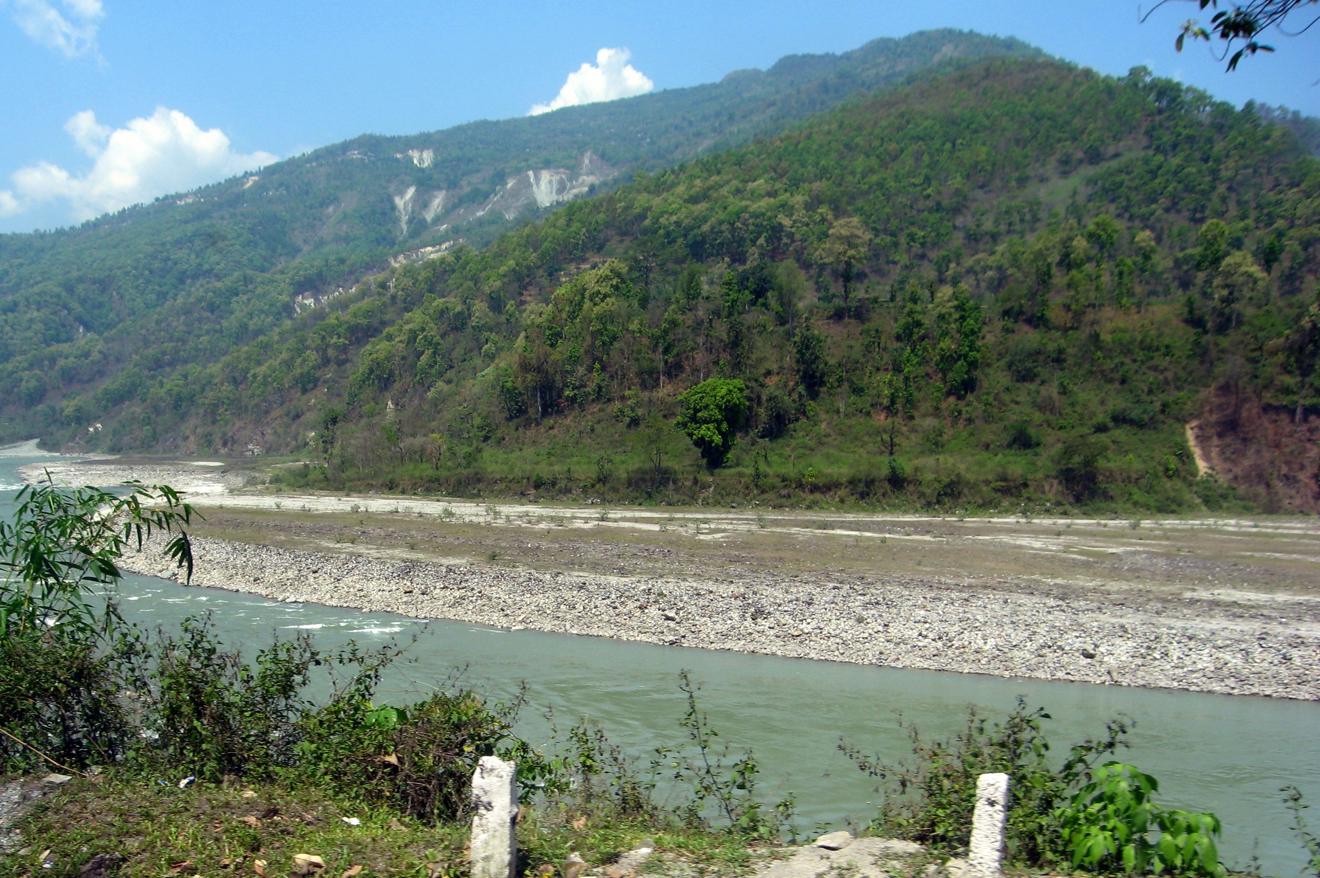
Teesta River

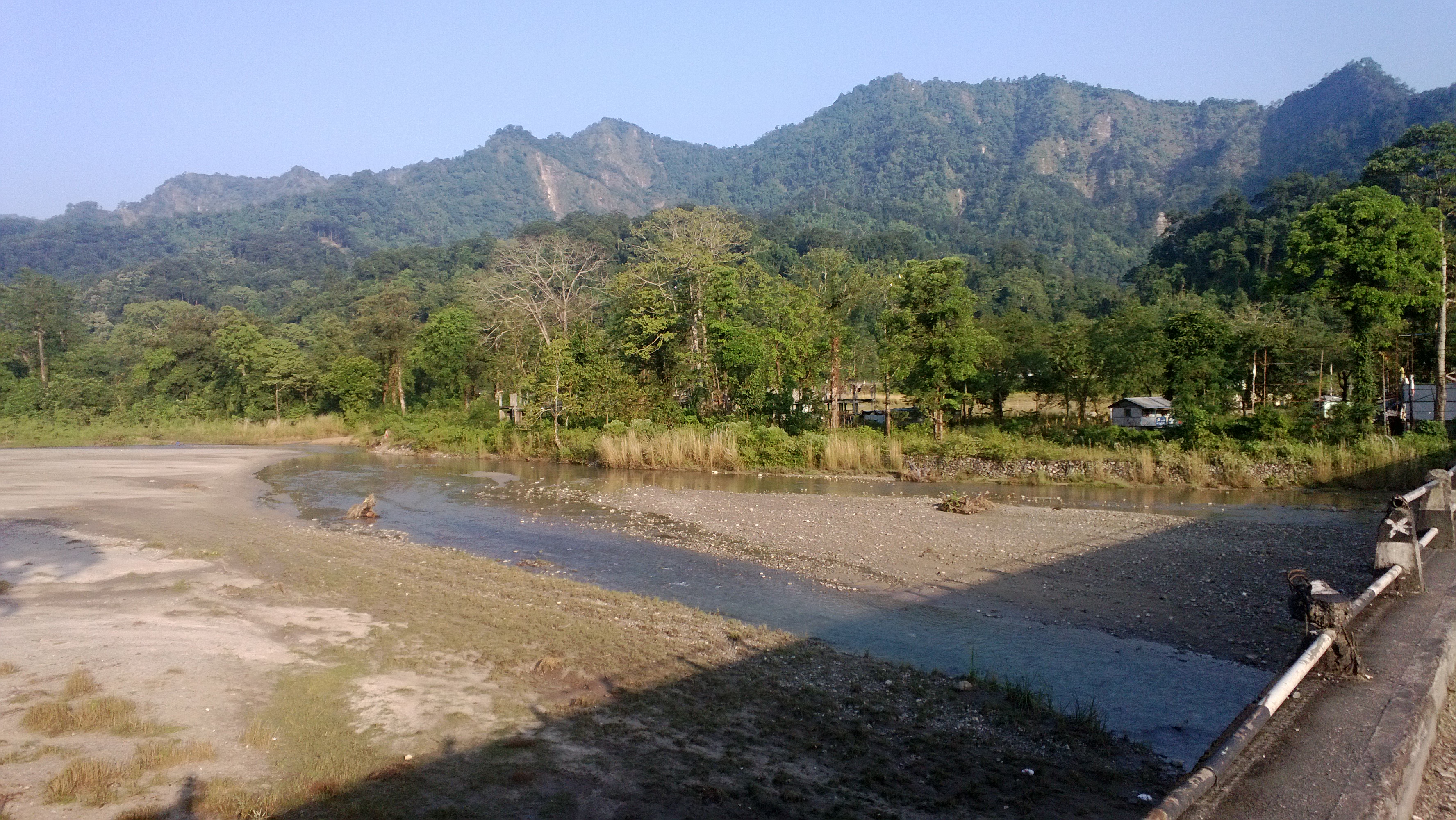
Dooars from Train
Topographic Map of Washabari Tea Garden, West Bengal, India
Find elevation by address:

Places near Washabari Tea Garden, West Bengal, India:
Chunabhati Bazar D.i.f.
Bagrakote Tea Garden
Bagrakot Tea Garden
Bagrakot
Nya Sylee Tea Estate
Leesh River Tea Garden
Yang Makum Khasmahal
Saraswatipur Tea Estate
Latpanchar
Yaksha Holiday Homes
Sittong
Sittong,the Orange Valley
Sittong Khasmahal
Darjeeling
Government Cinchona Plantation Nursery
Bong Gramin Bazaar
Kalimpong
Jhandi Eco Hut
Mangpoo
Siliguri
Recent Searches:
- Elevation of Corso Fratelli Cairoli, 35, Macerata MC, Italy
- Elevation of Tallevast Rd, Sarasota, FL, USA
- Elevation of 4th St E, Sonoma, CA, USA
- Elevation of Black Hollow Rd, Pennsdale, PA, USA
- Elevation of Oakland Ave, Williamsport, PA, USA
- Elevation of Pedrógão Grande, Portugal
- Elevation of Klee Dr, Martinsburg, WV, USA
- Elevation of Via Roma, Pieranica CR, Italy
- Elevation of Tavkvetili Mountain, Georgia
- Elevation of Hartfords Bluff Cir, Mt Pleasant, SC, USA