Elevation of Yang Makum Khasmahal, West Bengal, India
Location: India > West Bengal > Darjeeling >
Longitude: 88.4936595
Latitude: 26.9360328
Elevation: -10000m / -32808feet
Barometric Pressure: 295KPa
Elevation Map:
Satellite Map:
Related Photos:
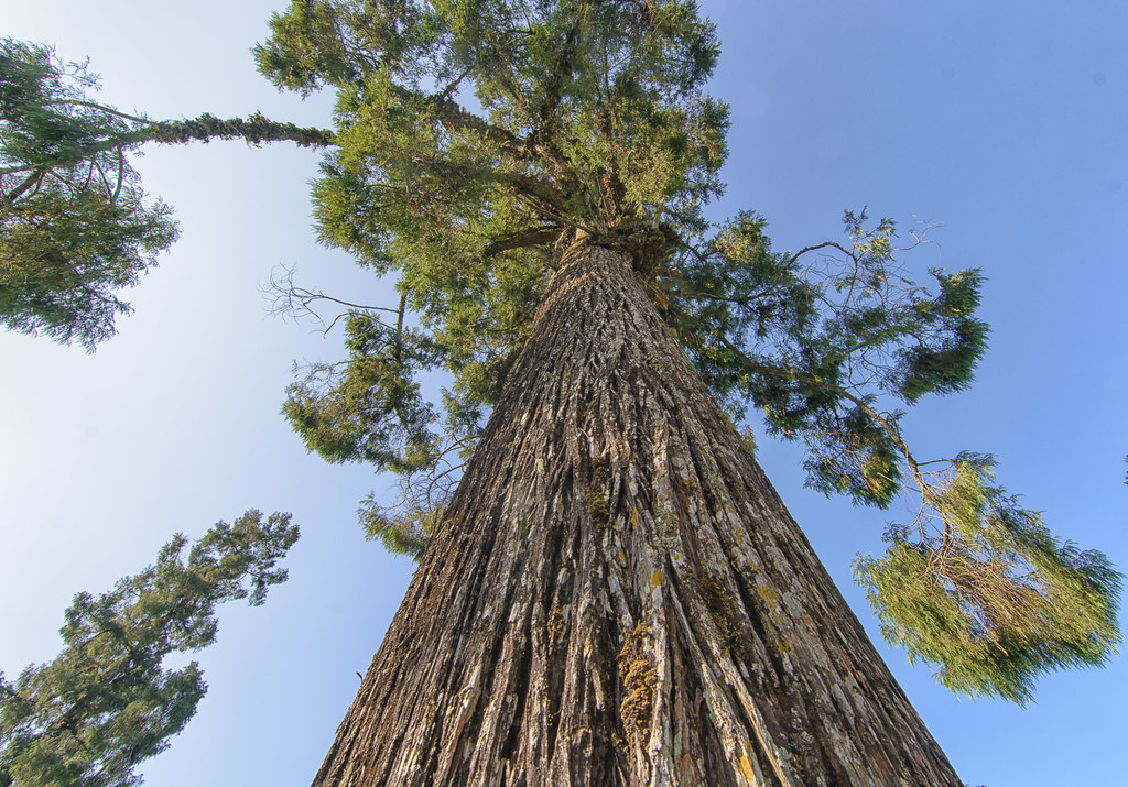
Look, I am the tallest !!

Zangdok Palri Phodang TSENPO Monastery

In The Rain

In The Rain

360x180 panorama of an old-style kitchen in Kalimpong

360x180 panorama of the ancestral property, Chibbo Busty, Kalimpong

Mangpong Forest, West Bengal

Mangpong Forest, West Bengal

Kalimpong, West Bengal

CSP_3983.JPG

CSP_3982.JPG

Mangpong Forest, West Bengal

Suruk Khasmahal, West Bengal

Yang Makum Khasmahal, West Bengal

Yang Makum Khasmahal, West Bengal

Mangpong Forest, West Bengal

Suruk Khasmahal, West Bengal

Up in the hills - Mongpoo

Yang Makum Khasmahal, West Bengal

CSP_4156.JPG

CSP_3981.JPG

Monsoon Clouds over Kalimpong Hills

Monsoon Clouds over Kalimpong Hills

Monsoon Clouds over Kalimpong Hills

Blue Hour..... Monsoon Clouds over Kalimpong Hills

Monsoon Clouds over Kalimpong Hills

Dooars from Train

Monsoon Clouds over Kalimpong Hills

A glimpse of the river from sevok bridge

CSP_3994.JPG

KALIMPONG RIVER VIEW

Aahal view point, Shelpu

CSP_3993.JPG

Aahal view point, Shelpu

Aahal view point, Shelpu

_7501349-Pano-12 shots

Let the mountains talk, let the river run. Once more, and forever.
Topographic Map of Yang Makum Khasmahal, West Bengal, India
Find elevation by address:

Places near Yang Makum Khasmahal, West Bengal, India:
Nya Sylee Tea Estate
Latpanchar
Yaksha Holiday Homes
Government Cinchona Plantation Nursery
Bong Gramin Bazaar
Kalimpong
Jhandi Eco Hut
Sittong Khasmahal
Mangpoo
Darjeeling
Soriang Khasmahal
Suntaley (labdha) Ground
Kalimpong Khasmahal
Rungbee Jnanpith Higher Secondary School
Gurung Guest House
Mungpoo
Tukdah Forest
Tiger Hill, Darjeeling
Tiger Hill Sunrise Observatory
Senchal Forest
Recent Searches:
- Elevation of Corso Fratelli Cairoli, 35, Macerata MC, Italy
- Elevation of Tallevast Rd, Sarasota, FL, USA
- Elevation of 4th St E, Sonoma, CA, USA
- Elevation of Black Hollow Rd, Pennsdale, PA, USA
- Elevation of Oakland Ave, Williamsport, PA, USA
- Elevation of Pedrógão Grande, Portugal
- Elevation of Klee Dr, Martinsburg, WV, USA
- Elevation of Via Roma, Pieranica CR, Italy
- Elevation of Tavkvetili Mountain, Georgia
- Elevation of Hartfords Bluff Cir, Mt Pleasant, SC, USA