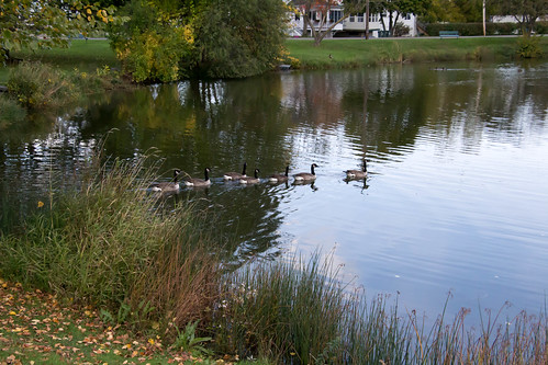
Elevation of Warner Hill Road, Warner Hill Rd, Ulster, PA, USA
Location: United States > Pennsylvania > Bradford County > Sheshequin Township >
Longitude: -76.453676
Latitude: 41.8743488
Elevation: 475m / 1558feet
Barometric Pressure: 96KPa
Related Photos:
Topographic Map of Warner Hill Road, Warner Hill Rd, Ulster, PA, USA
Find elevation by address:

Places near Warner Hill Road, Warner Hill Rd, Ulster, PA, USA:
Sheshequin Township
Ulster, PA, USA
6293 Ulster Rd
Dry Run Road
Ulster Township
Bradford County
Athens, PA, USA
Athens
Round Top Park Recreation Area
5353 Cotton Hollow Rd
Case Road
Rome
4544 Ulster Rd
Sayre
507 Lincoln St
1393 Lamb Rd
Athens Township
Windham Township
W River Rd, Nichols, NY, USA
Greater Valley Emergency Medical Services, Inc
Recent Searches:
- Elevation of Corso Fratelli Cairoli, 35, Macerata MC, Italy
- Elevation of Tallevast Rd, Sarasota, FL, USA
- Elevation of 4th St E, Sonoma, CA, USA
- Elevation of Black Hollow Rd, Pennsdale, PA, USA
- Elevation of Oakland Ave, Williamsport, PA, USA
- Elevation of Pedrógão Grande, Portugal
- Elevation of Klee Dr, Martinsburg, WV, USA
- Elevation of Via Roma, Pieranica CR, Italy
- Elevation of Tavkvetili Mountain, Georgia
- Elevation of Hartfords Bluff Cir, Mt Pleasant, SC, USA
