Elevation of Ulster Rd, Ulster, PA, USA
Location: United States > Pennsylvania > Bradford County > Ulster Township >
Longitude: -76.529139
Latitude: 41.8511074
Elevation: 346m / 1135feet
Barometric Pressure: 97KPa
Elevation Map:
Satellite Map:
Related Photos:

Conrail 6301 Sayre

Lehigh Valley

Conrail 7476

Yellow Corn in October?

Conrail 3127 Sayre

Post Office, Sayre, Pa.
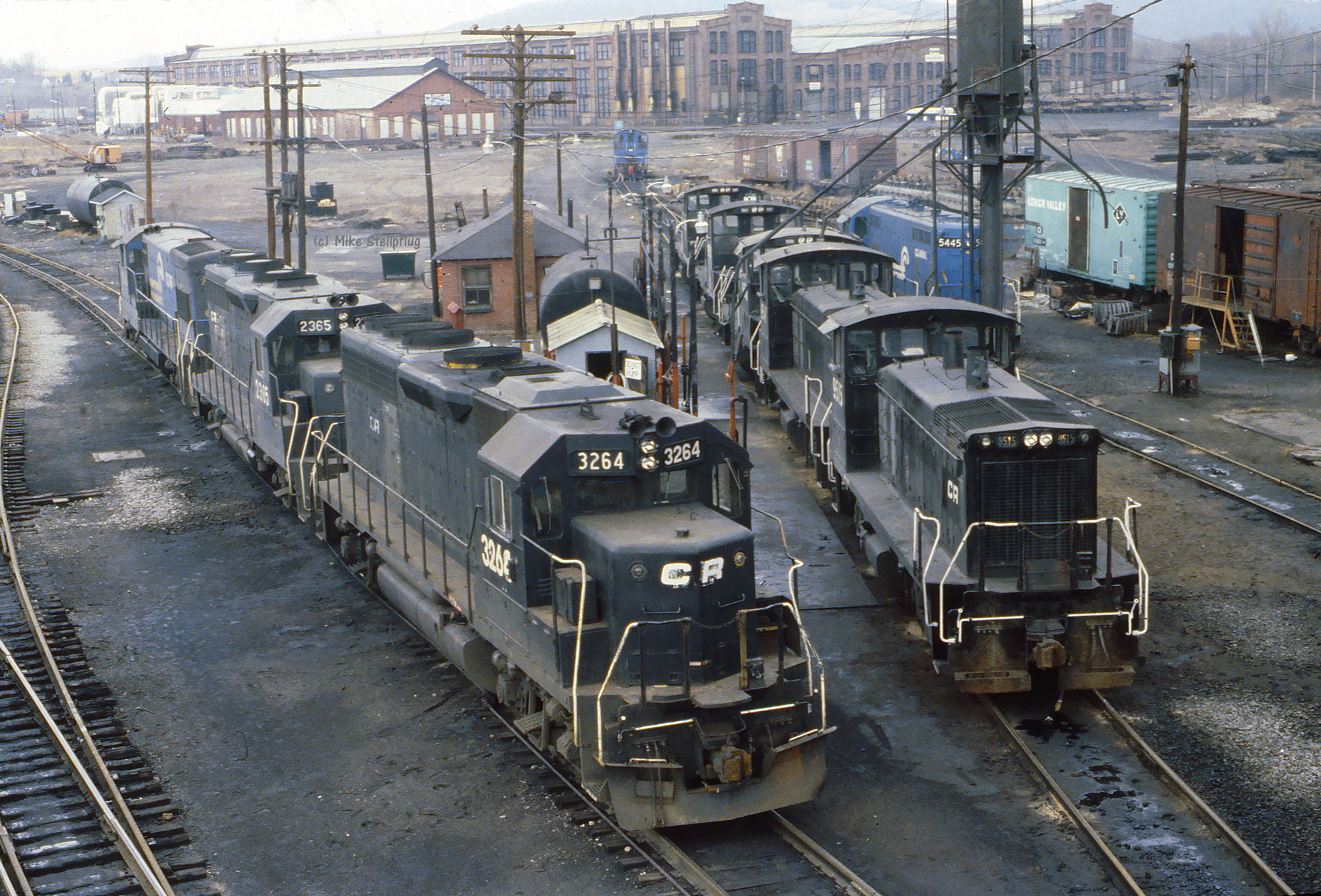
Conrail 3264 Sayre
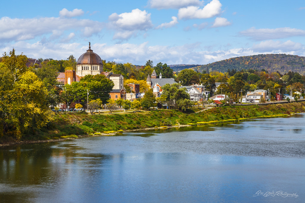
Fall in Towanda

Conrail 2816 Sayre

Conrail 3631 Sayre

View from Furniture

Luthers Mills, PA - Knapp's Covered Bridge 10-2-1998 [p114-08]

Lake flowers

IMG_0174.JPG

DSC05920.JPG

DSC05874.JPG

NS 2657
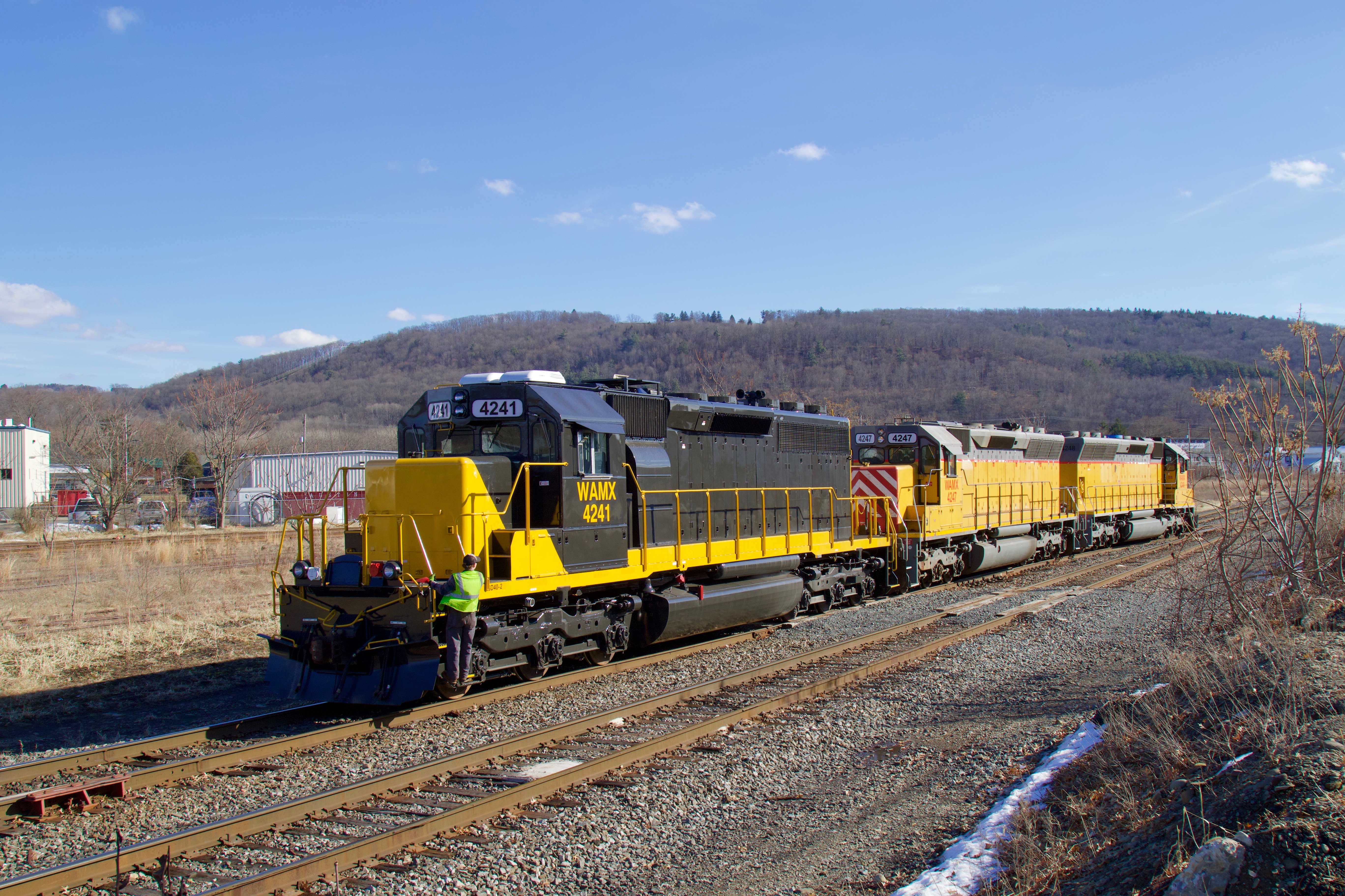
WAMX 4241
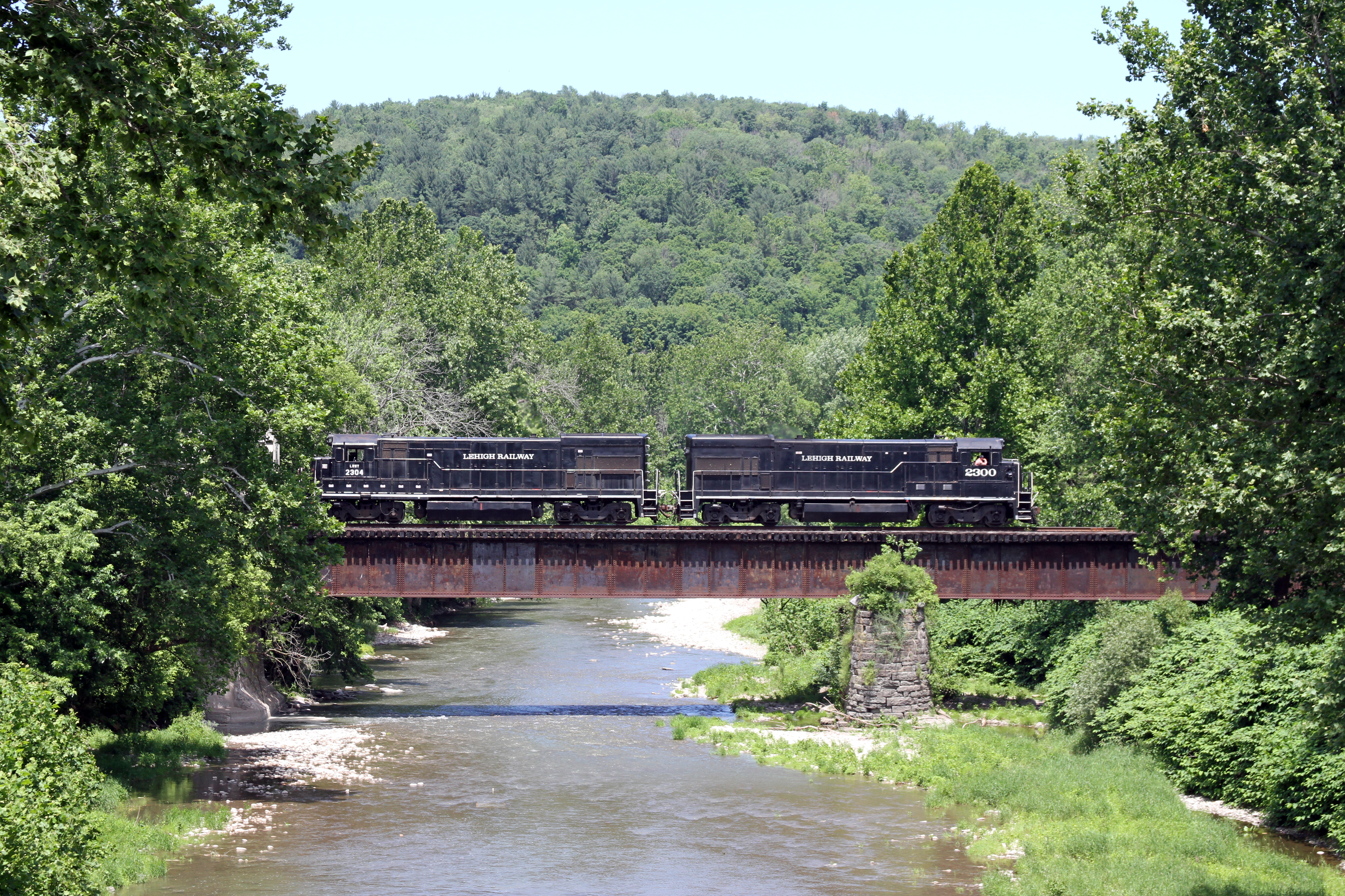
A pair of Lehigh Railway U23B's head South after interchanging cars with the NS in Sayre, PA.

LRWY 5721 @ Towanda

orange-humped mapleworm

Nightfall on Wysox

Big Sky and Red Barn at Dusk

Blue Hour at the Lake House

Lehigh Railway 3001

Red Barn and Road at Dusk

Sunrise at Lake Wesauking

Fireworks explode over Lake Wesauking

Mount Pisgah State Park

Sun rays and hay bales

Fireworks bloom over Lake Wesauking
Topographic Map of Ulster Rd, Ulster, PA, USA
Find elevation by address:

Places near Ulster Rd, Ulster, PA, USA:
Ulster Township
Ulster, PA, USA
Bradford County
4544 Ulster Rd
Sheshequin Township
Warner Hill Road
Smithfield Township
Athens Township
Round Top Park Recreation Area
Athens
Athens, PA, USA
507 Lincoln St
Sayre
1829 Meadowlark Dr
Mccardle Road
Greater Valley Emergency Medical Services, Inc
55 Warren St
Case Road
434 Waverly St
452 Waverly St
Recent Searches:
- Elevation of Corso Fratelli Cairoli, 35, Macerata MC, Italy
- Elevation of Tallevast Rd, Sarasota, FL, USA
- Elevation of 4th St E, Sonoma, CA, USA
- Elevation of Black Hollow Rd, Pennsdale, PA, USA
- Elevation of Oakland Ave, Williamsport, PA, USA
- Elevation of Pedrógão Grande, Portugal
- Elevation of Klee Dr, Martinsburg, WV, USA
- Elevation of Via Roma, Pieranica CR, Italy
- Elevation of Tavkvetili Mountain, Georgia
- Elevation of Hartfords Bluff Cir, Mt Pleasant, SC, USA