Elevation of Warm Springs Rd, Ellerslie, GA, USA
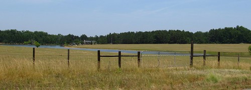
Location: United States > Georgia > Harris County > Ellerslie >

Longitude: -84.814266

Latitude: 32.622615

Elevation: 229m / 751feet

Barometric Pressure: 99KPa

Elevation Map:

elevation map of Warm Springs Rd, Ellerslie, GA, USA

Satellite Map:

Satellite map of Warm Springs Rd, Ellerslie, GA, USA
Related Photos:

georgia marietta cobbcounty
Aguas de otoño
georgia perfect flickr photographer group elite marietta cobbcounty
Autum leaves
bird heron birds ga georgia egret avian herons egrets gbh avians columbusga coopercreek enlargerlens columbusgeorgia ilexgreatblueheron
IMGP1563 [Final]
bird heron birds ga georgia egret greatblueheron avian herons egrets ilex gbh avians columbusga coopercreek enlargerlens columbusgeorgia
IMGP1559 [Final]
bird heron birds ga georgia egret greatblueheron avian herons egrets ilex gbh avians columbusga coopercreek enlargerlens columbusgeorgia
IMGP1560 [Final]
columbus usa ga springfling bakerhigh oscarboyles bakerhighspringfling oscarpboyles bakerhighlions
Baker High Spring Fling
lion lions bakerhigh bakerhighspringfling bakerhighlions
BHS Spring Fling 650 Strong
cat boots 365 project365 ravelry365
#248 of 365
columbus ga palmer springfling garypalmer bakerhigh bakerhighspringfling bakerhighlions
Baker High Spring Fling
columbus ga dance dancing springfling danceallnight bakerhigh bakerhighspringfling bakerhighlions
Baker High Spring Fling
square squareformat normal iphoneography instagramapp uploaded:by=instagram foursquare:venue=4babe6ccf964a52094d33ae3
My view of the wedding from behind the video camera.
columbus ga dance dancing springfling danceallnight bakerhigh bakerhighspringfling bakerhighlions
Baker High Spring Fling
columbus ga spring high springfling bakerhigh bakerhighspringfling bakerhighlions
Baker High Spring Fling
columbus ga bryan jam springfling bakerhigh bakerhighspringfling jimibryan bakerhighlions
Baker High Spring Fling
Acura of Columbus
bird heron birds ga georgia egret greatblueheron avian herons egrets ilex gbh avians columbusga coopercreek enlargerlens columbusgeorgia
IMGP1564 [Final]
columbus ga paddle springfling boyles highspring bakerhigh crimmel oscarboyles bakerhighspringfling oscarpboyles bakerhighlions
Baker High Spring Fling
columbus ga springfling boyles bakerhigh oscarboyles bakerhighspringfling oscarpboyles bakerhighlions
Baker High Spring Fling
stereoscopic 3d anaglyph stereograph anaglyphs
DSCF0638 CR (3D)
wild nature animal animals insect wildlife bees insects bee
IMGP5500 B (Crop)
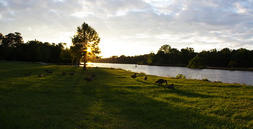
park sunset lake columbusga columbusgeorgia coopercreekpark
Goose at Sunset
coopercreekpark
Sky Stitch
sunset lake nature water landscape pentax k5 columbusga columbusgeorgia coopercreekpark coopercreeklake pentaxk5 coopercreekparklake
Cooper Creek Panorama 7 B
sunset lake nature water birds landscape geese pentax goose fowl k5 columbusga columbusgeorgia coopercreekpark coopercreeklake pentaxk5 coopercreekparklake
Cooper Creek Panorama 5
pink plant
small flowers C
nature landscape columbusga columbusgeorgia coopercreekpark
Cooper Creek Panorama 9 B
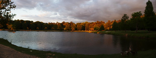
sunset sky lake clouds
Sunset Panorama 2B
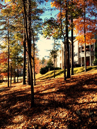
autumn fall community autumnleaves gated autumntrees appartments
Can You Feel the Autumn Breeze?
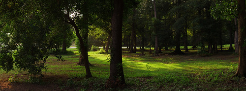
park trees grass columbusga columbusgeorgia coopercreekpark
Trees and Grass B
sunset sky lake clouds
Sunset Panorama 1
columbusga columbusgeorgia lakeheath
Lake Heath Panorama B
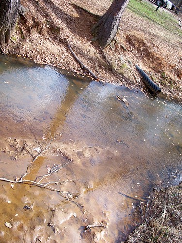
columbusga columbusgeorgia flatrockpark
Flat Rock Park Stream
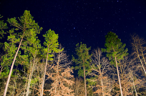
ericsonphotography phlearn
Trees at Night (20/365)
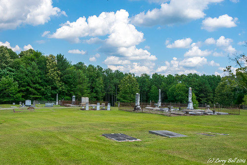
georgia unitedstates hamilton harriscounty larrybell hamiltoncemetery larebel larebell
DSC_0800.jpg
State Route 315, Talbot County, Georgia
sunset sky lake clouds
Sunset Panorama 4
autumn fallleaves lake fall gated dogpark communities colorfullandscape
Let's Take a Walk Outside
365 project365 ravelry365 march2009
#89 of 365