Elevation of Ross Rd, Waverly Hall, GA, USA
Longitude: -84.748898
Latitude: 32.6275453
Elevation: 224m / 735feet
Barometric Pressure: 99KPa
Elevation Map:
Satellite Map:
Related Photos:

Autum leaves

Aguas de otoño

The Waterfalls at Flat Rock

State Route 315, Talbot County, Georgia

Spring in the Meadow

Valediction to winter III

Trees at Night (20/365)

State Route 315, Talbot County, Georgia

A Little Pond In the Morning

Flatrock Stitch 2

Fall Leaves

Flat Rock Park Panorama 5 Small
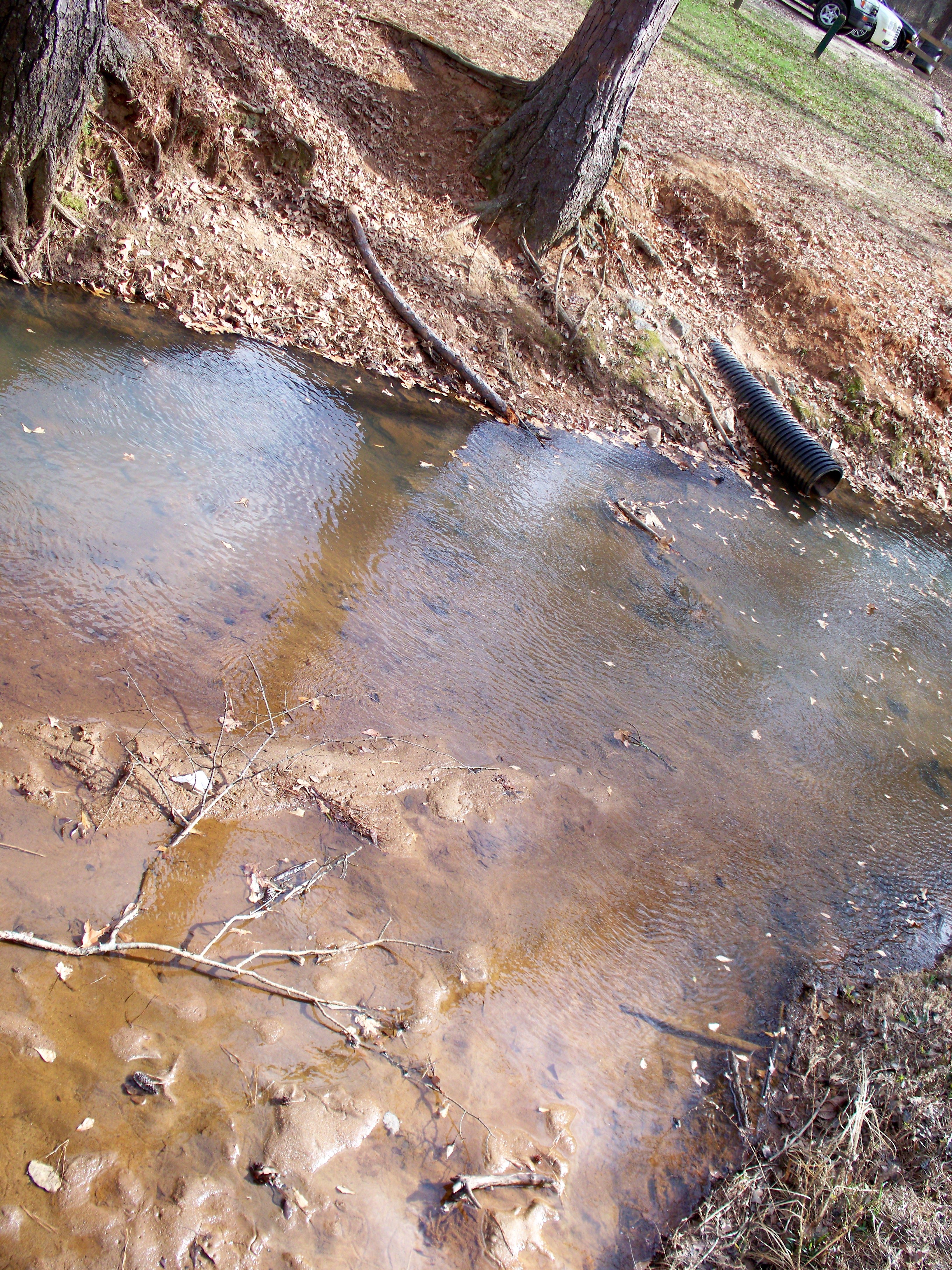
Flat Rock Park Stream

Flat Rock Park Panorama 4 Small

Flat Rock Park Panorama 2 crop small

2013-03-22 09.34.36
Topographic Map of Ross Rd, Waverly Hall, GA, USA
Find elevation by address:

Places near Ross Rd, Waverly Hall, GA, USA:
516 Ross Rd
Ellerslie
Warm Springs Rd, Ellerslie, GA, USA
8732 Commonwealth Ct
Midland
US-27, Cataula, GA, USA
Cataula
64 Farm Rd, Cataula, GA, USA
Widgeon Dr, Midland, GA, USA
Whisperwood
7327 San Vista Dr
6541 Thea Ln
5161 Willowbrook Dr
Sugar Mill Dr, Columbus, GA, USA
1007 Sugar Mill Dr
Fortson
8272 Dream Boat Dr
5938 Reed Ave
Fortson Rd, Fortson, GA, USA
Timberdale Dr, Columbus, GA, USA
Recent Searches:
- Elevation of Corso Fratelli Cairoli, 35, Macerata MC, Italy
- Elevation of Tallevast Rd, Sarasota, FL, USA
- Elevation of 4th St E, Sonoma, CA, USA
- Elevation of Black Hollow Rd, Pennsdale, PA, USA
- Elevation of Oakland Ave, Williamsport, PA, USA
- Elevation of Pedrógão Grande, Portugal
- Elevation of Klee Dr, Martinsburg, WV, USA
- Elevation of Via Roma, Pieranica CR, Italy
- Elevation of Tavkvetili Mountain, Georgia
- Elevation of Hartfords Bluff Cir, Mt Pleasant, SC, USA