Elevation of Warm Springs, OR, USA
Location: United States > Oregon > Jefferson County >
Longitude: -121.26616
Latitude: 44.7634519
Elevation: 468m / 1535feet
Barometric Pressure: 96KPa
Elevation Map:
Satellite Map:
Related Photos:
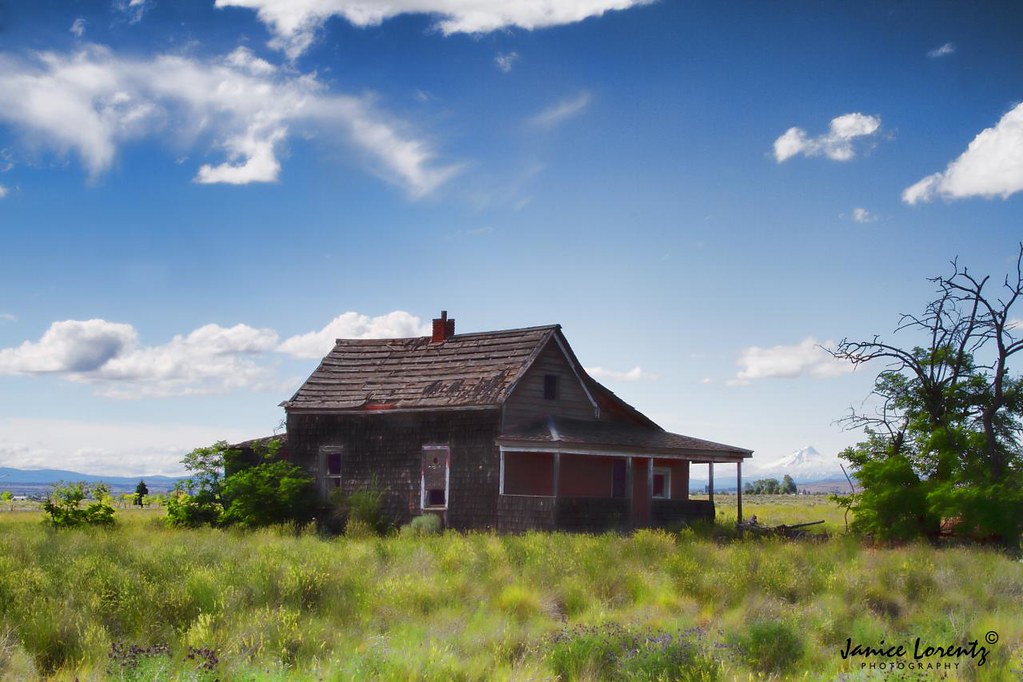
Home with a view.
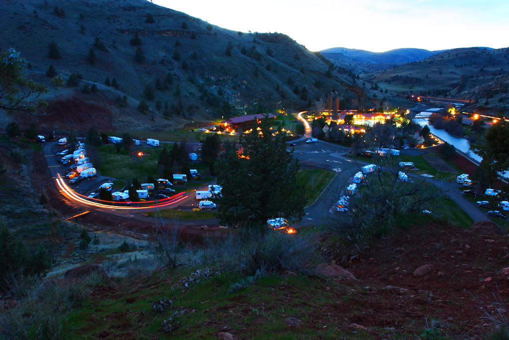
KahNeeTa Village

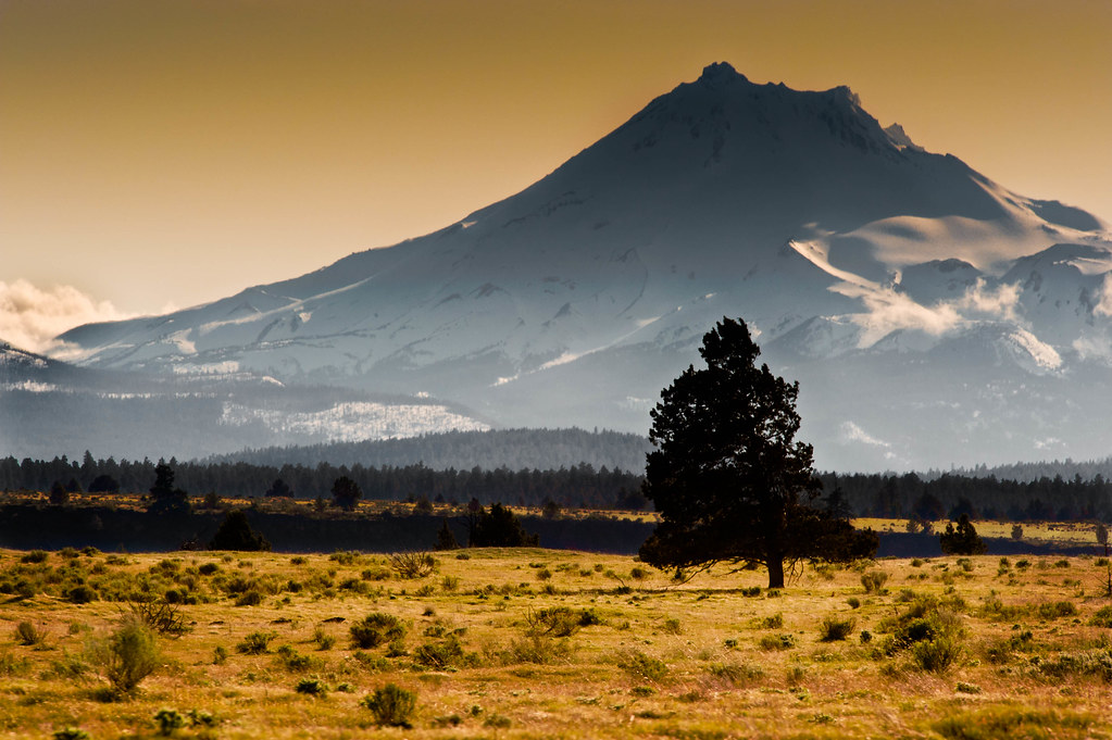
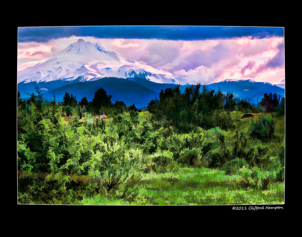
Mount Jefferson at Madras

Deschutes fishing trip view
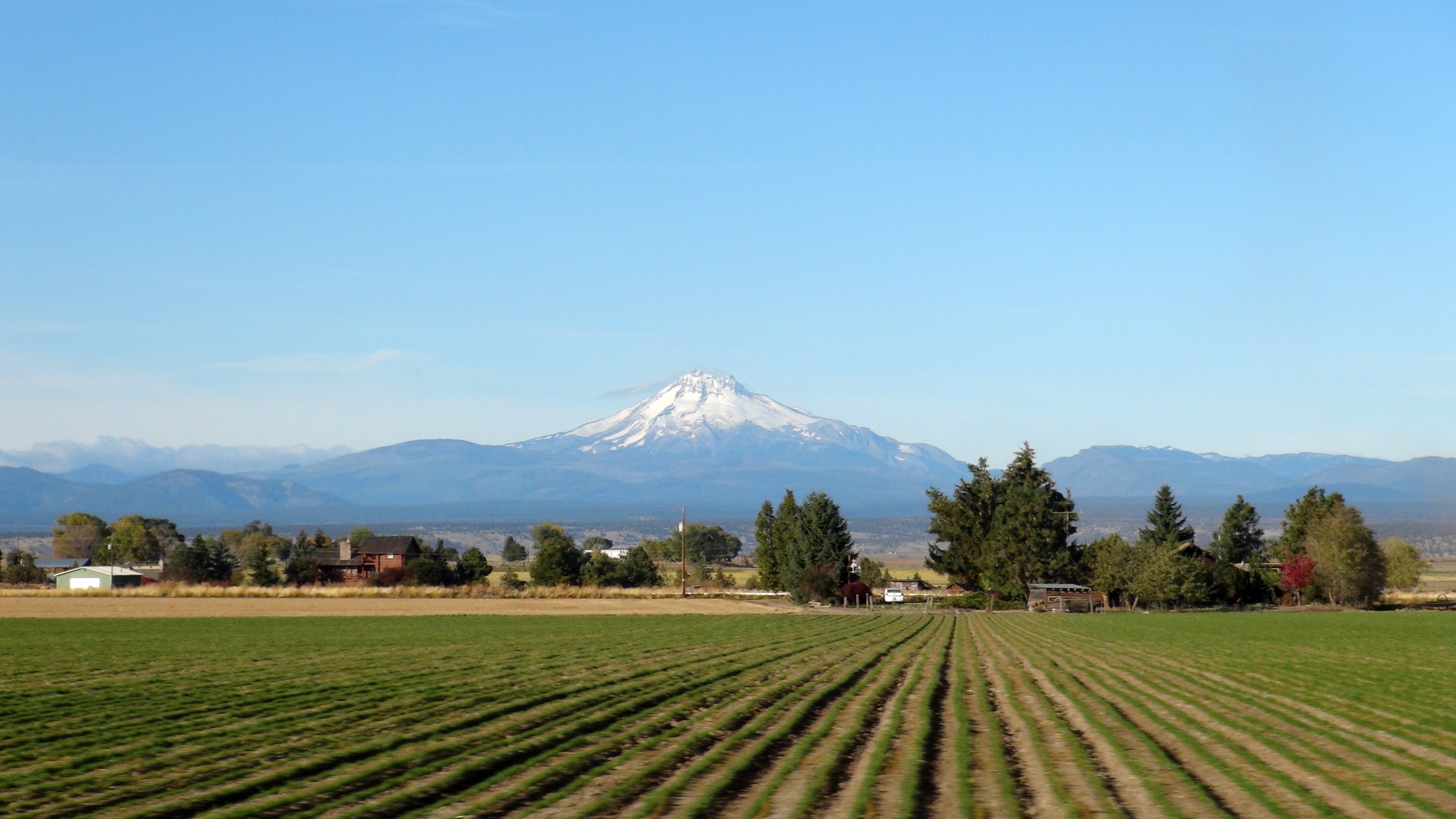
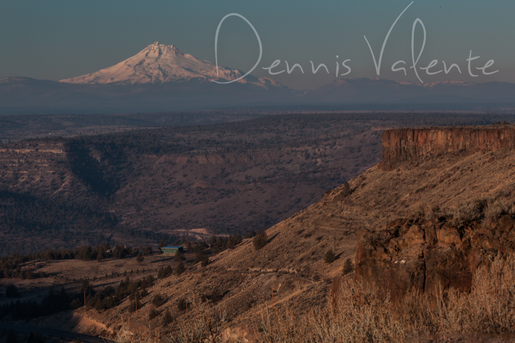
Central Oregon Farmland

Pretty good lunch view!

The view from my office tonight ... #ILMJ #countryfied16 #CherryTree #ILMSP
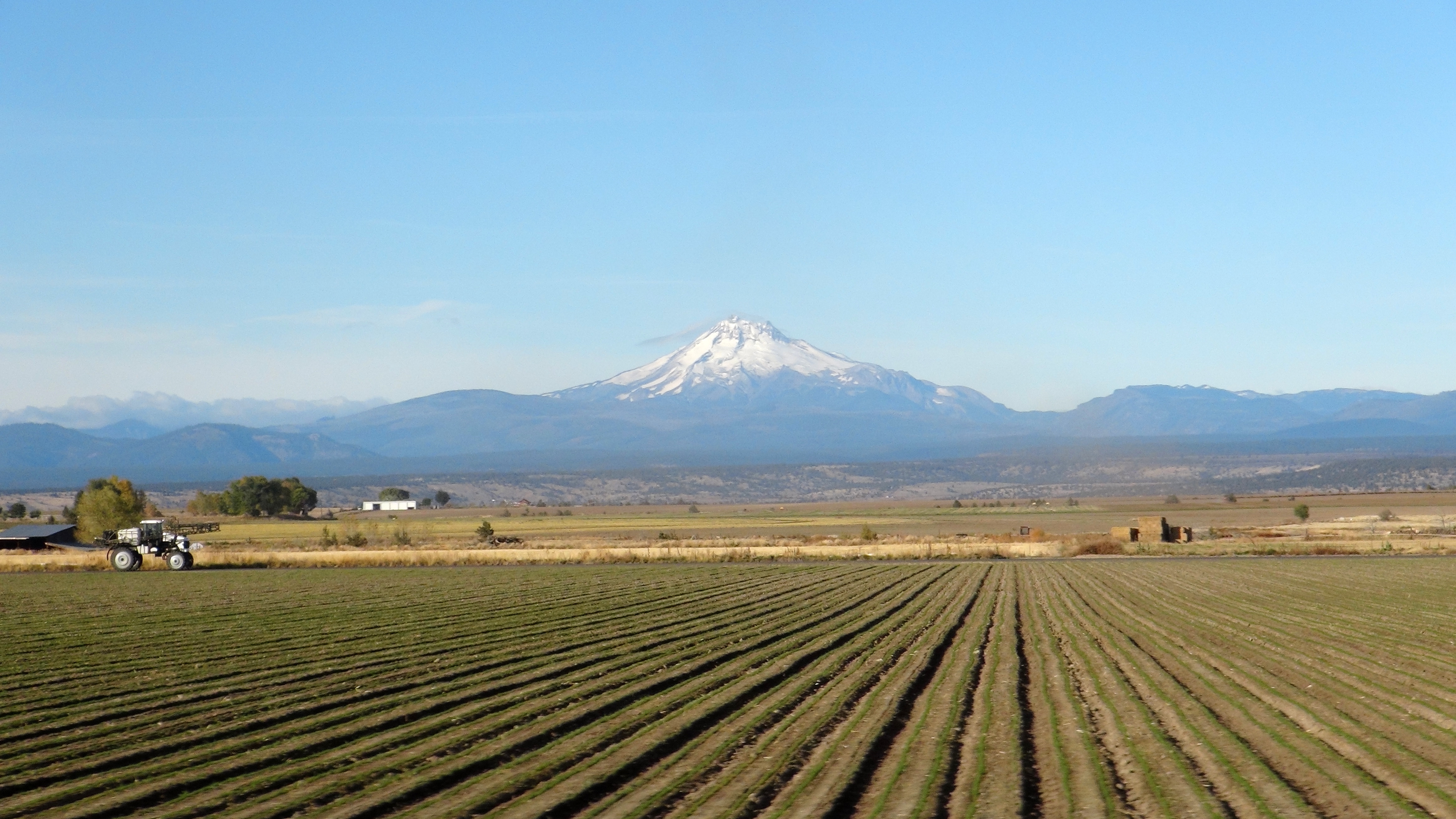
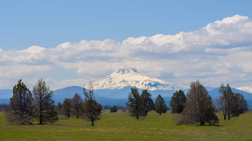
Central Oregon Farmland [2]

Abandoned Madras

#Moorish #fullmoon #moon #instapdx #landscape #beautiful
Movin' On Up

beautiful #sunrise this #morning #sunflare #landscape...

Farm in Warm Springs

madras airport

#cottoncandysky #sunrise this #morning #kahneeta
Garden Of Serenity

A Tribute to Copland
Oregon you've got some awesome topography. #peltondam #oregon #exploreoregon #oregonexplored #weloveoregon #bendbound
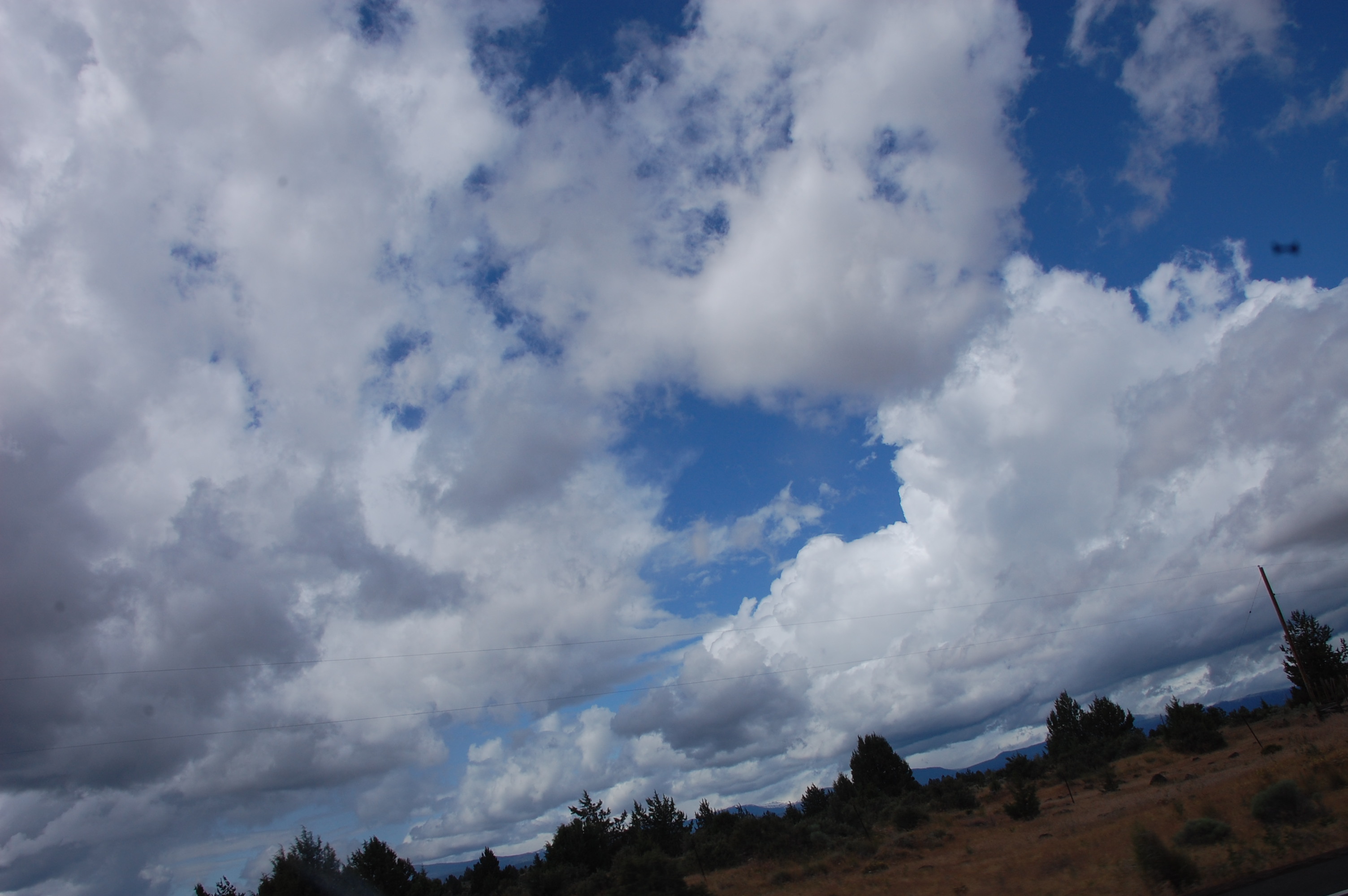
Somewhere up there...

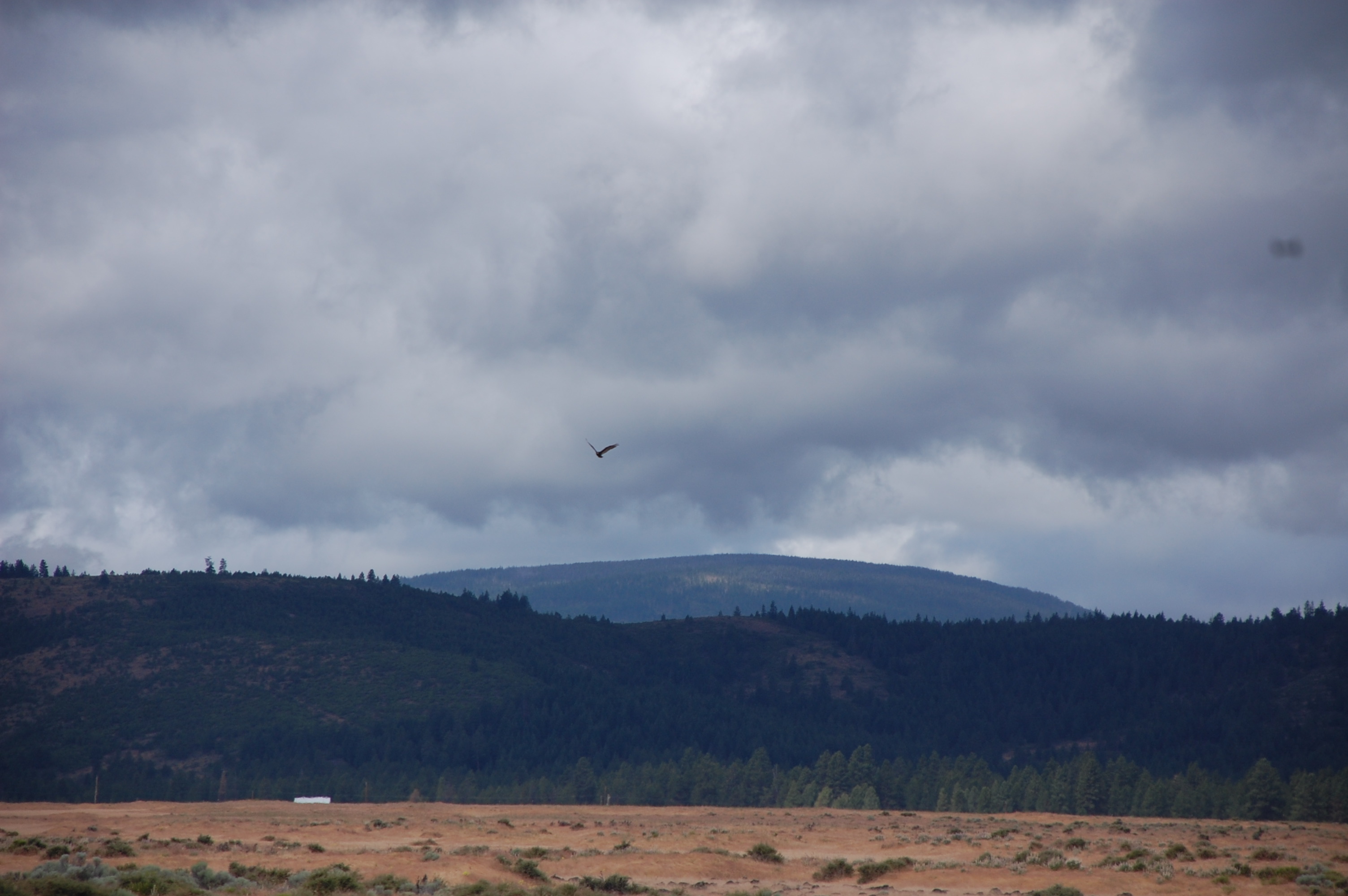
Warm Springs
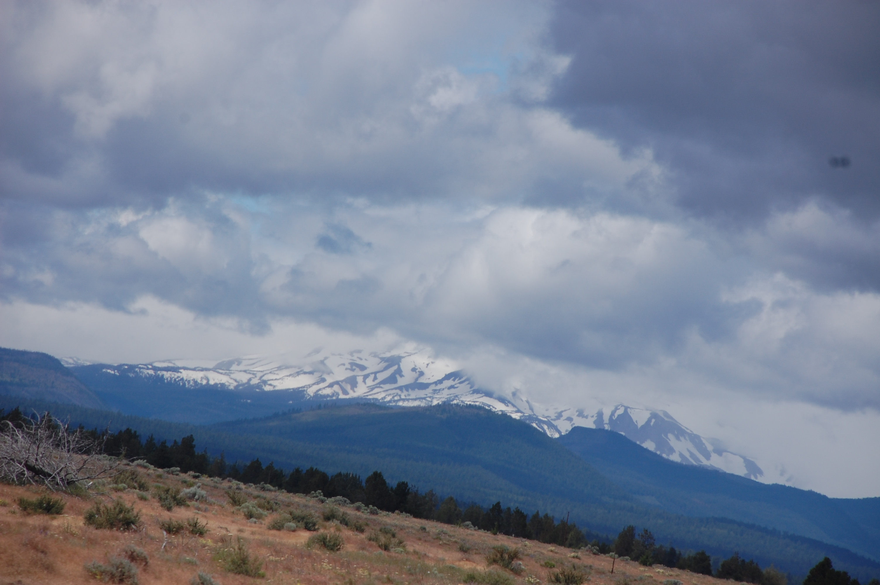
Approaching Mount Hood

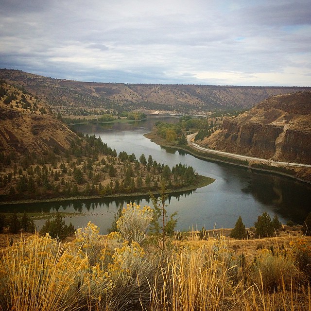
Deschutes River cutting through the middle of the central Oregon desert

The beauty of Oregon...

Dave Campbell in his 1939 Aeronca Chief - Madras, Oregon, USA
Approaching Mount Hood

Kah-Nee-Ta
Approaching Mount Hood
Beauty in the mountains...
Topographic Map of Warm Springs, OR, USA
Find elevation by address:

Places near Warm Springs, OR, USA:
1626 Foster St
Lake Simtustus
Deschutes River
Jefferson County
Madras
1219 Sw Barker St
Metolius
Jefferson Ave, Metolius, OR, USA
1420 Ne Lehman Dr
6394 Sw Rose St
12227 Sw Peninsula Dr
9347 Sw Panorama Rd
14775 Sw Pony Trail Rd
5875 Sw Rim Rd
Terrebonne
8210 5th St
7291 Nw Homestead Way
18520 Mcswain Dr
Club Road
11996 Nw Madras Hwy
Recent Searches:
- Elevation of Corso Fratelli Cairoli, 35, Macerata MC, Italy
- Elevation of Tallevast Rd, Sarasota, FL, USA
- Elevation of 4th St E, Sonoma, CA, USA
- Elevation of Black Hollow Rd, Pennsdale, PA, USA
- Elevation of Oakland Ave, Williamsport, PA, USA
- Elevation of Pedrógão Grande, Portugal
- Elevation of Klee Dr, Martinsburg, WV, USA
- Elevation of Via Roma, Pieranica CR, Italy
- Elevation of Tavkvetili Mountain, Georgia
- Elevation of Hartfords Bluff Cir, Mt Pleasant, SC, USA