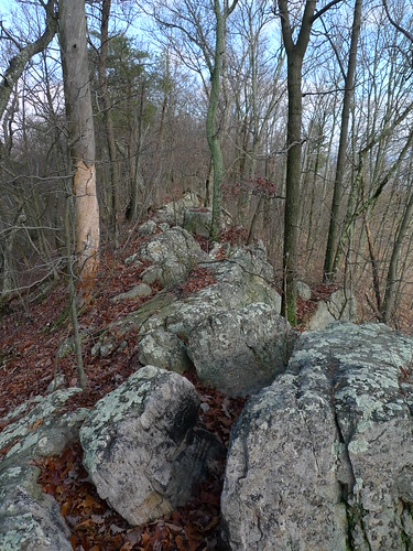
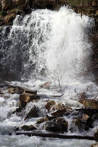
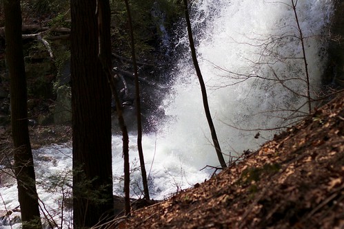
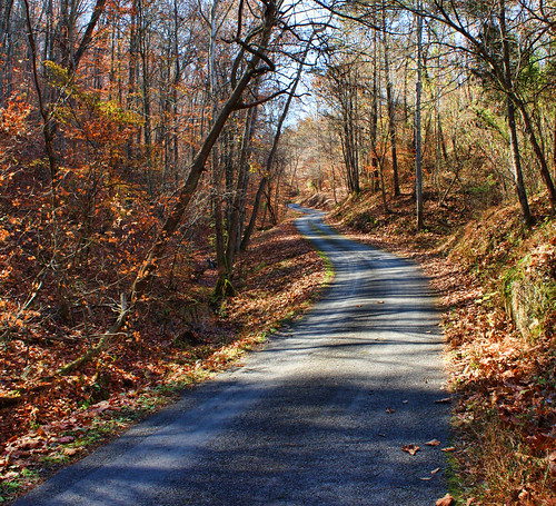
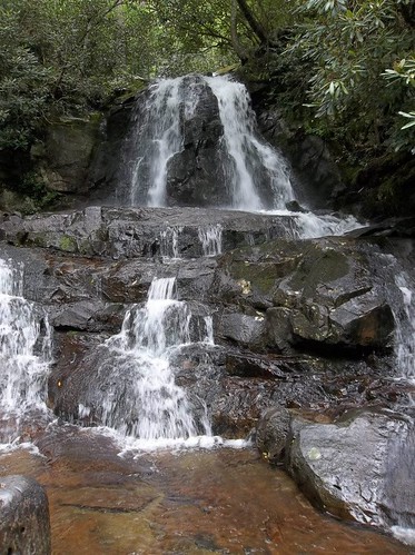
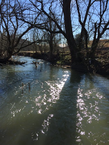
Elevation of War Valley Rd, Church Hill, TN, USA
Location: United States > Tennessee > Hawkins County > Church Hill >
Longitude: -82.762564
Latitude: 36.455261
Elevation: 421m / 1381feet
Barometric Pressure: 96KPa
Related Photos:
Topographic Map of War Valley Rd, Church Hill, TN, USA
Find elevation by address:

Places near War Valley Rd, Church Hill, TN, USA:
1968 Goshen Valley Rd
Christian Bend Rd, Church Hill, TN, USA
Goshen Valley Rd, Church Hill, TN, USA
Christian Bend Rd, Church Hill, TN, USA
Phipps Bend Rd, Surgoinsville, TN, USA
Lyons Rd, Church Hill, TN, USA
110 Ferry Rd
Ben Hill Road
158 Miller Rd
New Canton Rd, Church Hill, TN, USA
Main St, Surgoinsville, TN, USA
Pyburn Lane
1705 Beech Creek Rd
Church Hill, TN, USA
Church Hill
Golden Rd, Surgoinsville, TN, USA
1811 War Valley Rd
1770 State Hwy 2527
149 Housewright Rd
Surgoinsville
Recent Searches:
- Elevation of Corso Fratelli Cairoli, 35, Macerata MC, Italy
- Elevation of Tallevast Rd, Sarasota, FL, USA
- Elevation of 4th St E, Sonoma, CA, USA
- Elevation of Black Hollow Rd, Pennsdale, PA, USA
- Elevation of Oakland Ave, Williamsport, PA, USA
- Elevation of Pedrógão Grande, Portugal
- Elevation of Klee Dr, Martinsburg, WV, USA
- Elevation of Via Roma, Pieranica CR, Italy
- Elevation of Tavkvetili Mountain, Georgia
- Elevation of Hartfords Bluff Cir, Mt Pleasant, SC, USA
