Elevation of Hawkins County, TN, USA
Location: United States > Tennessee >
Longitude: -82.950155
Latitude: 36.4445545
Elevation: 415m / 1362feet
Barometric Pressure: 96KPa
Elevation Map:
Satellite Map:
Related Photos:
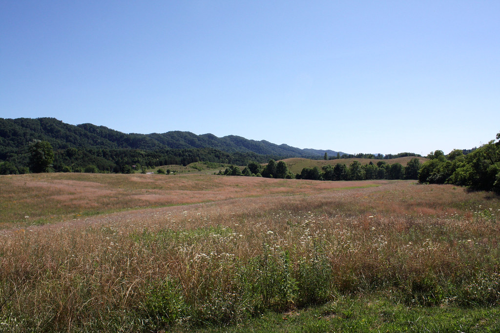
North side of Clinch Mountain

Hawkins County Courthouse Front Corner Landscape View - Rogersville, TN
Possum Holler

Big Creek

Seniors & Best Friends Natalie & Bethany

Kyrkogård

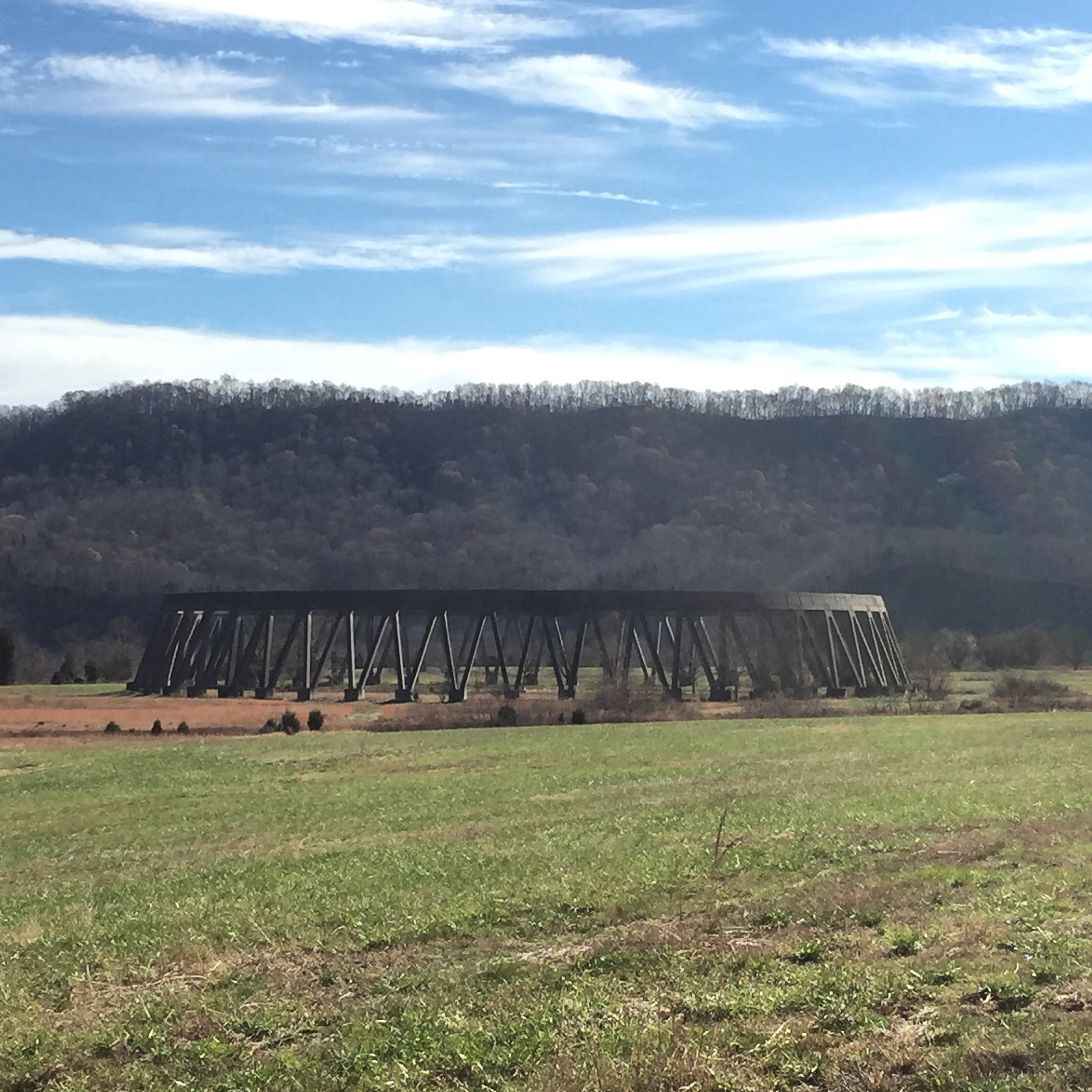
Big Creek Falls and Dam at Amis Mill

2013.06.04.02 Hawkins Co.
IMG_7778.JPG
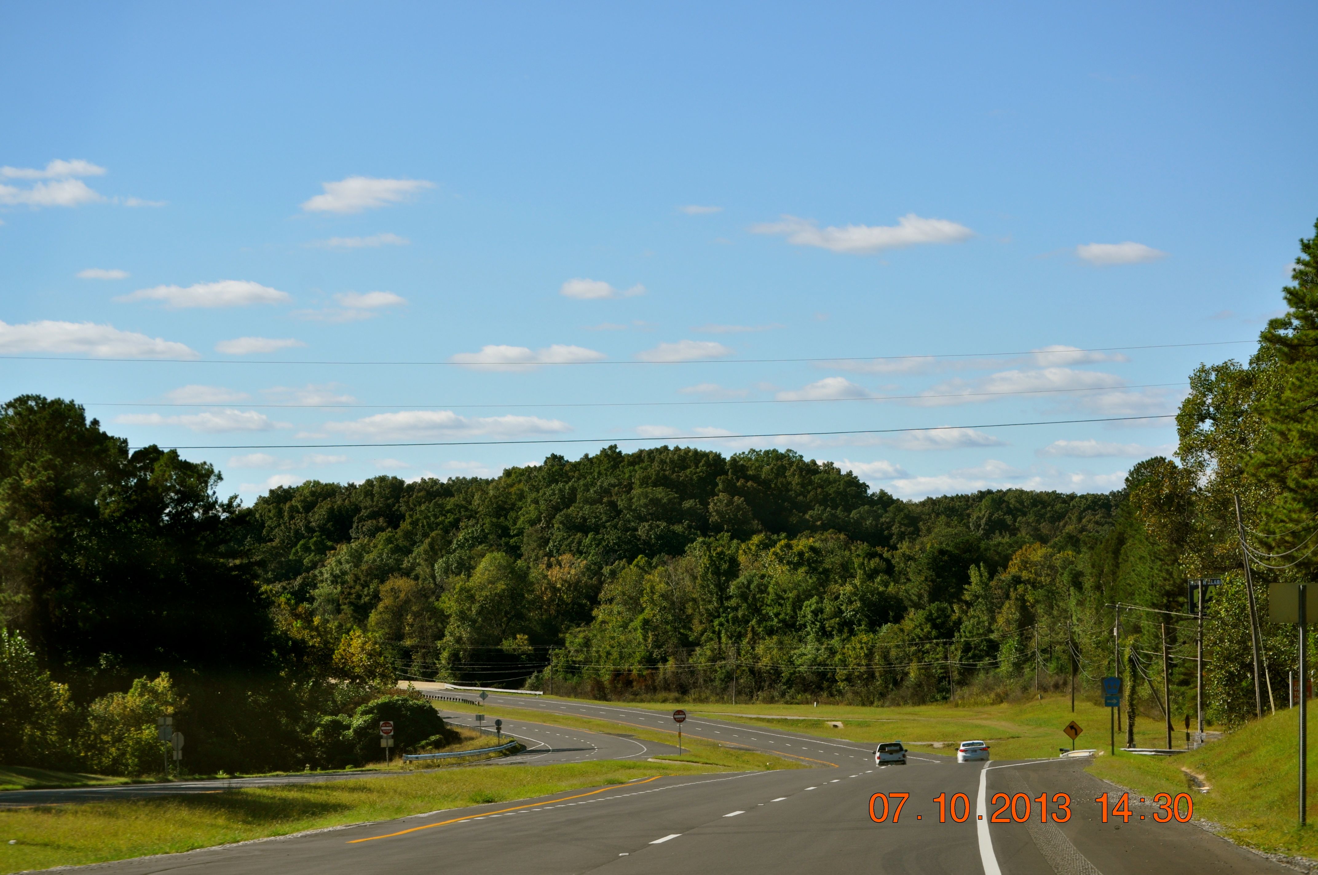
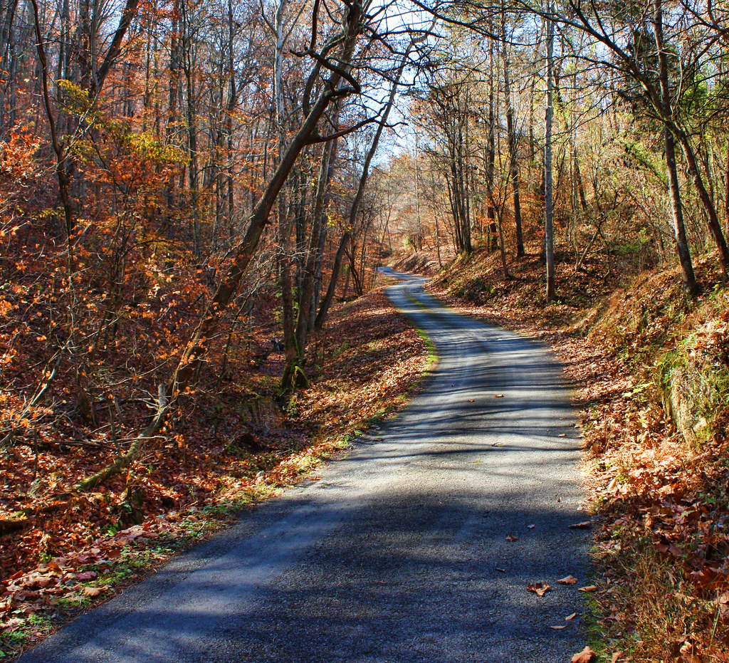
Leaving Rogersville
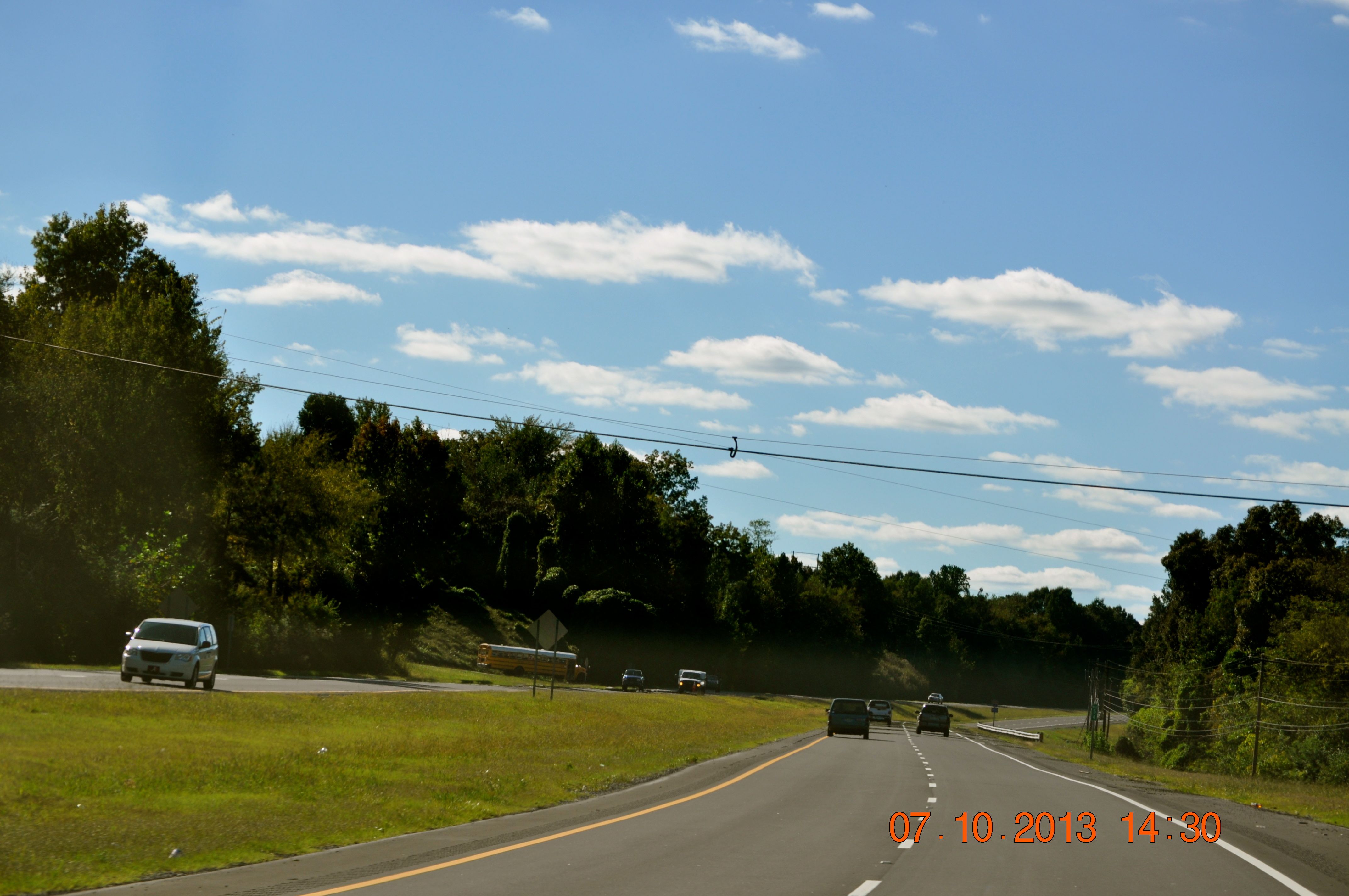
Leaving Rogersville

Carters Valley Cemetery

Carters Valley Cemetery
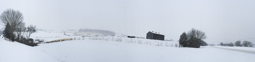
Winter In East Tennessee
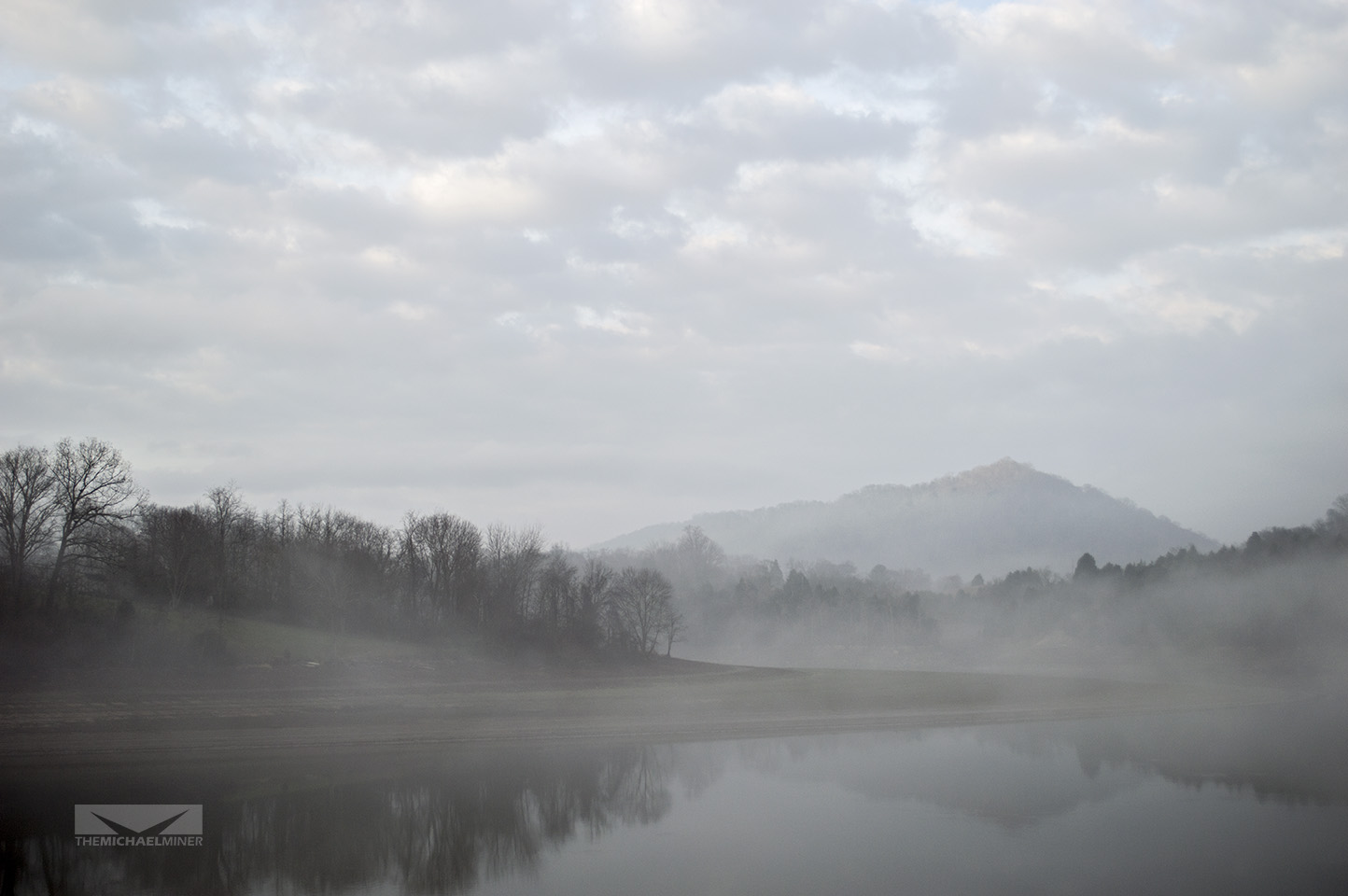
Foggy Mountain River
Topographic Map of Hawkins County, TN, USA
Find elevation by address:

Places in Hawkins County, TN, USA:
Rogersville
Church Hill
Surgoinsville
Mount Carmel
Mooresburg
Eidson
Old Hickory Cir, Mt Carmel, TN, USA
Byrd Creek Rd, Sneedville, TN, USA
Christian Bend Rd, Church Hill, TN, USA
Poplar St, Mt Carmel, TN, USA
TN-70, Kyles Ford, TN, USA
Glen Spoons Rd, Mooresburg, TN, USA
Byrd Creek Road
War Creek Road
Places near Hawkins County, TN, USA:
West Bear Hollow Road
West Bear Hollow Road
West Bear Hollow Road
Clinch Mountain
Mullins Ln, Rogersville, TN, USA
Bear Hollow Road
Honeycutt Rd, Rogersville, TN, USA
1464 Hickory Cove Rd
496 Fishers Creek Rd
Fishers Creek Rd, Rogersville, TN, USA
200 Ridge St
1416 Main St
207 Hickman Hollow Rd
721 Watterson Gap Rd
Surgoinsville
Burem Rd, Rogersville, TN, USA
Golden Rd, Surgoinsville, TN, USA
Andy Horton Cir, Surgoinsville, TN, USA
1811 War Valley Rd
3328 Goshen Valley Rd
Recent Searches:
- Elevation of Corso Fratelli Cairoli, 35, Macerata MC, Italy
- Elevation of Tallevast Rd, Sarasota, FL, USA
- Elevation of 4th St E, Sonoma, CA, USA
- Elevation of Black Hollow Rd, Pennsdale, PA, USA
- Elevation of Oakland Ave, Williamsport, PA, USA
- Elevation of Pedrógão Grande, Portugal
- Elevation of Klee Dr, Martinsburg, WV, USA
- Elevation of Via Roma, Pieranica CR, Italy
- Elevation of Tavkvetili Mountain, Georgia
- Elevation of Hartfords Bluff Cir, Mt Pleasant, SC, USA