Elevation of War Creek Rd, Thorn Hill, TN, USA
Location: United States > Tennessee > Grainger County > Thorn Hill >
Longitude: -83.296435
Latitude: 36.4265331
Elevation: 368m / 1207feet
Barometric Pressure: 97KPa
Elevation Map:
Satellite Map:
Related Photos:

Hancock County, TN Courthouse - Sneedville, TN

Patriotic Tennessee Barn
Cherokee Lake

Hancock County Courthouse (front view) - Sneedville, TN

2013.06.04.15 Grainger Co.

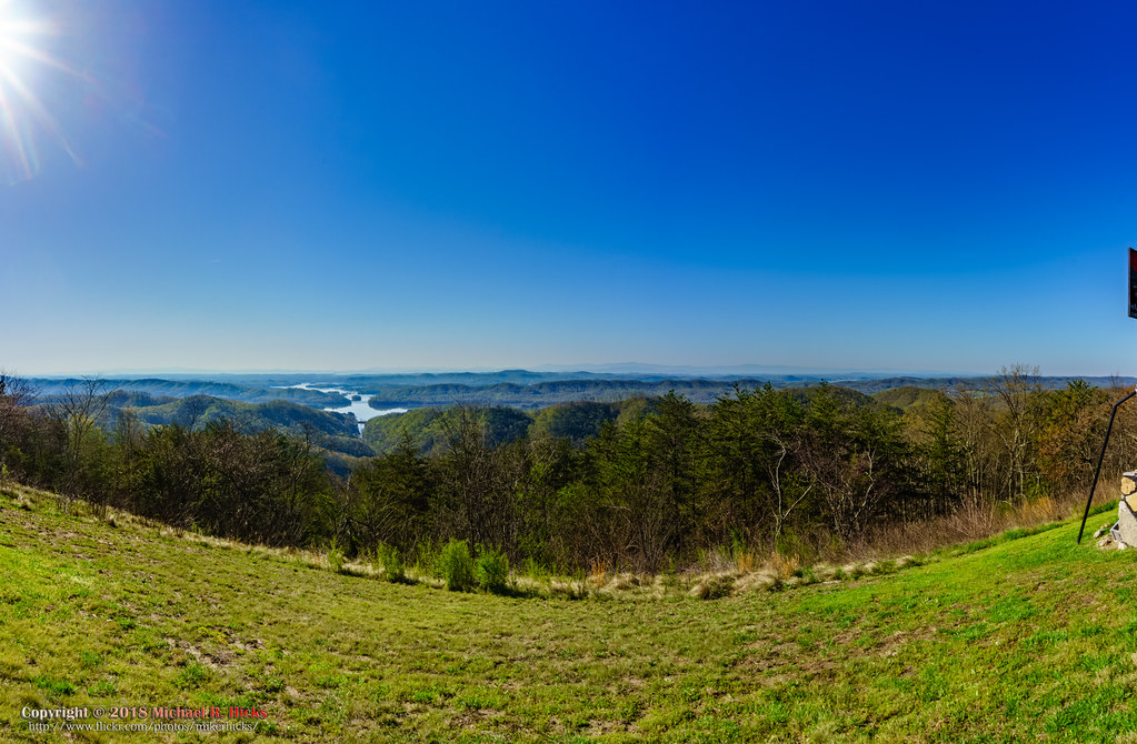
Broken Valley Mtn Top Panaromic View

Laura and Kelly enjoying the view in Tennessee.

Mtn top view again from Claiborne Co.

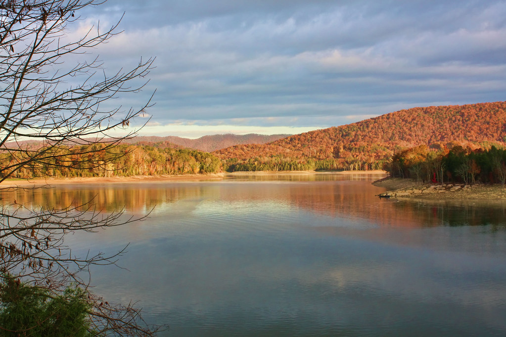
Cherokee Lake In The Fall

Faded Sunrise

Trees and Shadows

Follow the Path

Milky Way Panorama - 12 Images

They're flooding this valley

Bristol TN/VA April 2011

Bristol TN/VA April 2011

Bristol TN/VA May 17 2012

Witness post and Benchmark - TVA

2015-06-10 12.25.32

2014-11-04 16.05.07
Veteran's Overlook

ppr-tr9-001

Bristol TN/VA May 17 2012
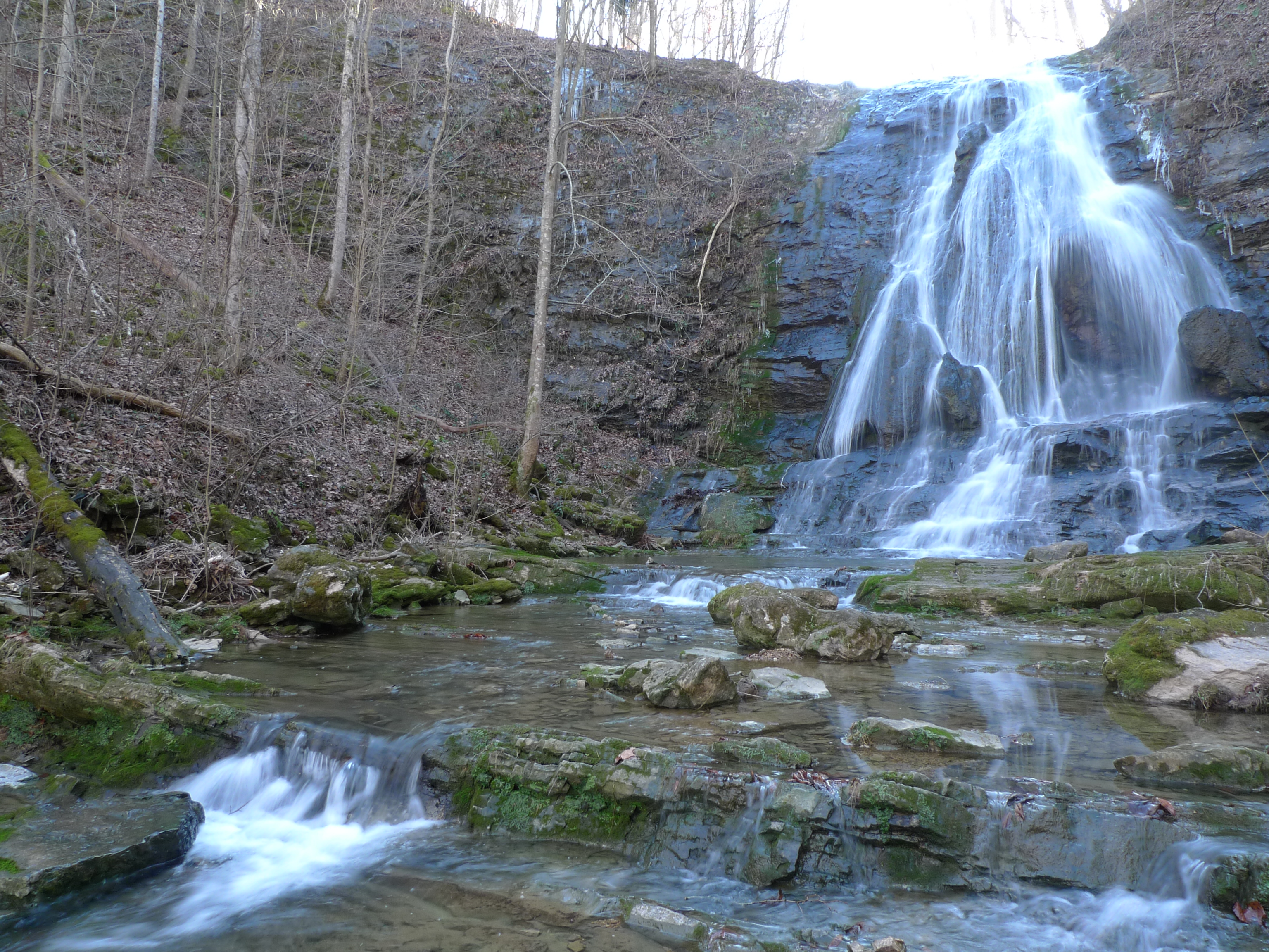
Elrod Falls upper

Bristol TN/VA April 2011

Bristol TN/VA April 2011

Elrod Falls lower
Topographic Map of War Creek Rd, Thorn Hill, TN, USA
Find elevation by address:

Places near War Creek Rd, Thorn Hill, TN, USA:
1350 Wolfe Rd
1350 Wolfe Rd
1350 Wolfe Rd
1350 Wolfe Rd
1350 Wolfe Rd
2500 Wolfe Rd
2973 Chinquipin Rd
2443 Tn-131
541 Mountain Valley Hwy 131
Tennessee 31
TN-31, Thorn Hill, TN, USA
108 Jamie Dr
Treadway
396 Caney Valley Rd
147 Fire Tower Rd
Ben Bloomer Road
Back Valley Rd, Sneedville, TN, USA
802 Heck Branch Rd
630 Jacobs Hollow Rd
New Hope Rd, Sneedville, TN, USA
Recent Searches:
- Elevation of Corso Fratelli Cairoli, 35, Macerata MC, Italy
- Elevation of Tallevast Rd, Sarasota, FL, USA
- Elevation of 4th St E, Sonoma, CA, USA
- Elevation of Black Hollow Rd, Pennsdale, PA, USA
- Elevation of Oakland Ave, Williamsport, PA, USA
- Elevation of Pedrógão Grande, Portugal
- Elevation of Klee Dr, Martinsburg, WV, USA
- Elevation of Via Roma, Pieranica CR, Italy
- Elevation of Tavkvetili Mountain, Georgia
- Elevation of Hartfords Bluff Cir, Mt Pleasant, SC, USA