Elevation of TN-31, Thorn Hill, TN, USA
Location: United States > Tennessee > Hancock County >
Longitude: -83.233994
Latitude: 36.4477649
Elevation: 401m / 1316feet
Barometric Pressure: 97KPa
Elevation Map:
Satellite Map:
Related Photos:
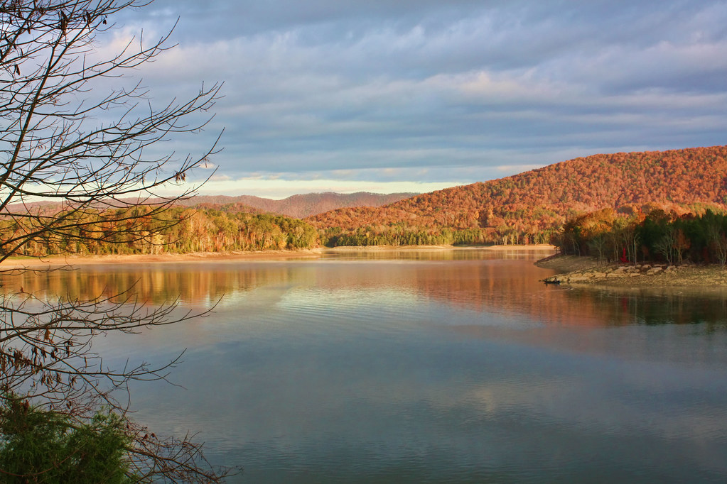
Cherokee Lake

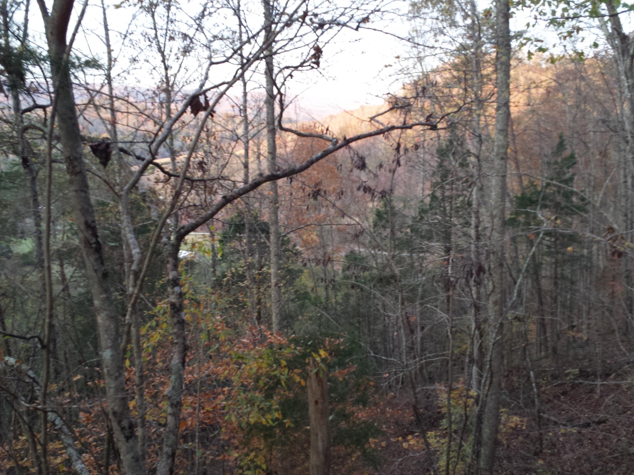
Cherokee Lake In The Fall
2014-11-04 17.12.24
Verdant Camoflage
Witness post and Benchmark - TVA

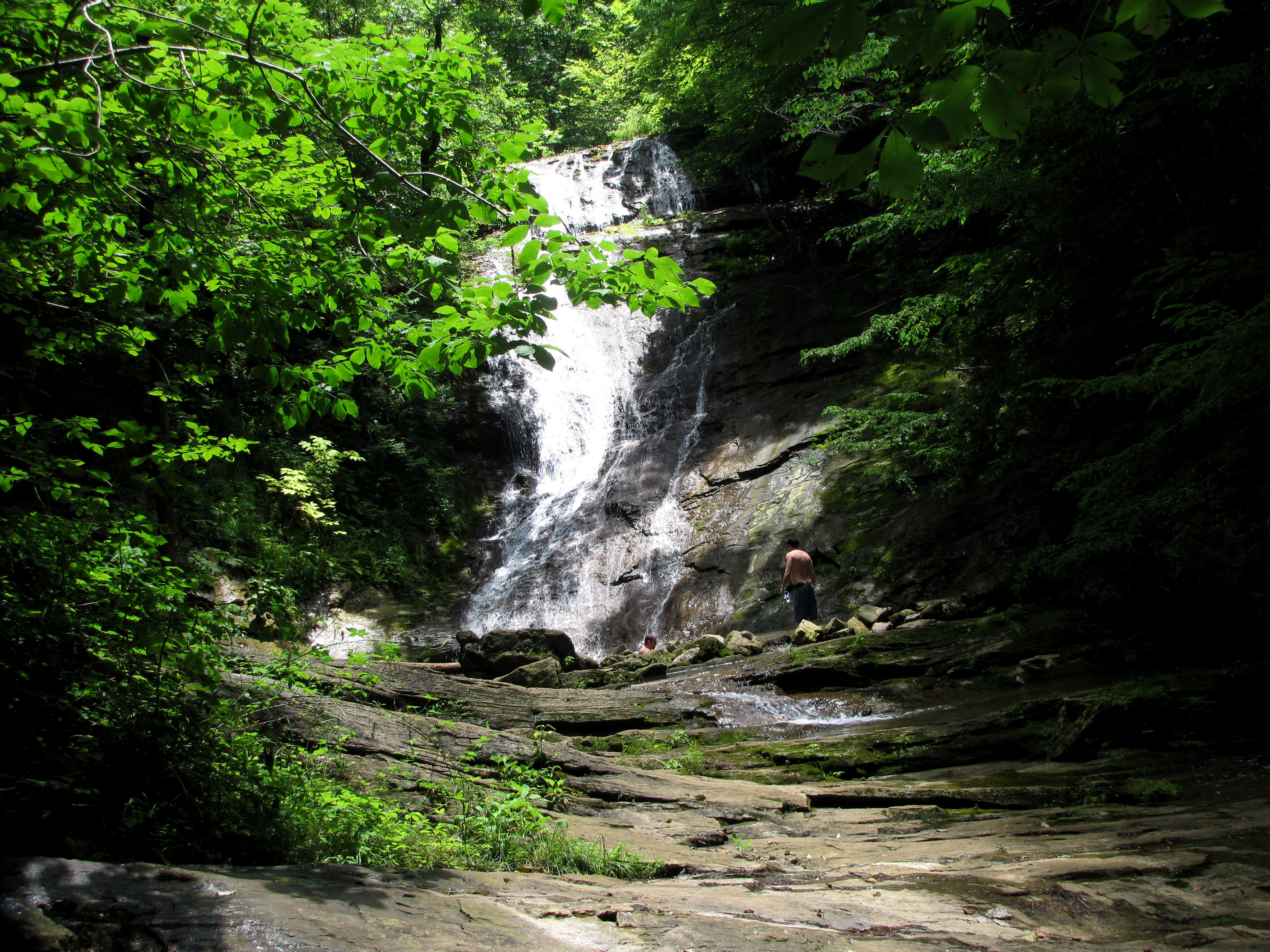
Elrod Falls upper
Youth MT2K13 Photos
Follow the Path
2014-11-04 16.41.16

Elrod Falls upper

ppr-tr9-002
Elrod Falls, Hancock Co, TN

2014-11-04 16.05.25

Elrod Falls lower
ppr-tr9-009

2014-11-04 16.05.07

Hästar
Youth MT2K13 Photos
ppr-tr9-008
Youth MT2K13 Photos
2014-11-04 17.12.19
Topographic Map of TN-31, Thorn Hill, TN, USA
Find elevation by address:

Places near TN-31, Thorn Hill, TN, USA:
Tennessee 31
108 Jamie Dr
541 Mountain Valley Hwy 131
Treadway
2500 Wolfe Rd
1350 Wolfe Rd
1350 Wolfe Rd
1350 Wolfe Rd
1350 Wolfe Rd
1350 Wolfe Rd
147 Fire Tower Rd
2973 Chinquipin Rd
2443 Tn-131
802 Heck Branch Rd
Ben Bloomer Road
396 Caney Valley Rd
New Hope Rd, Sneedville, TN, USA
4031 War Creek Rd
371 Paul Trent Rd
Lamb Road
Recent Searches:
- Elevation of Corso Fratelli Cairoli, 35, Macerata MC, Italy
- Elevation of Tallevast Rd, Sarasota, FL, USA
- Elevation of 4th St E, Sonoma, CA, USA
- Elevation of Black Hollow Rd, Pennsdale, PA, USA
- Elevation of Oakland Ave, Williamsport, PA, USA
- Elevation of Pedrógão Grande, Portugal
- Elevation of Klee Dr, Martinsburg, WV, USA
- Elevation of Via Roma, Pieranica CR, Italy
- Elevation of Tavkvetili Mountain, Georgia
- Elevation of Hartfords Bluff Cir, Mt Pleasant, SC, USA