Elevation of Wang Ngio Tai, Dong Charoen District, Phichit, Thailand
Location: Thailand > Phichit > Dong Charoen District >
Longitude: 100.670343
Latitude: 16.0146587
Elevation: 60m / 197feet
Barometric Pressure: 101KPa
Elevation Map:
Satellite Map:
Related Photos:

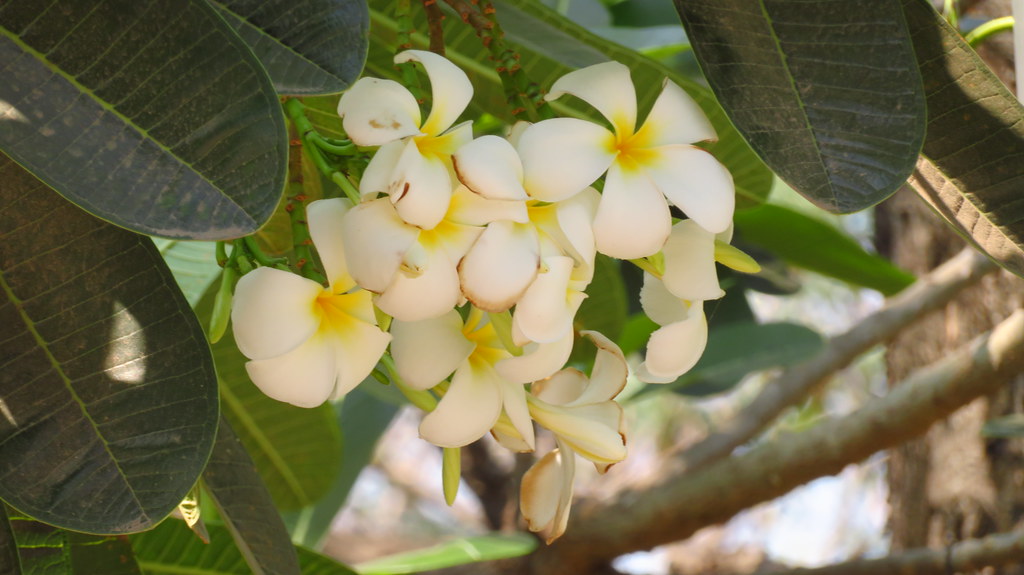
ดอกลีลาวดี

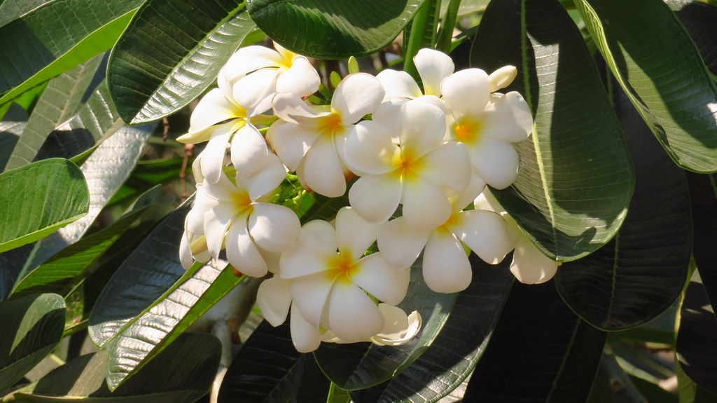
ดอกลีลาวดี

ดอกลีลาวดี
ดอกลีลาวดี

ดอกลีลาวดี
ดอกลีลาวดี

เฟอร์นิเจอร์

เฟอร์นิเจอร์

เฟอร์นิเจอร์

เฟอร์นิเจอร์

เฟอร์นิเจอร์

Khao Nok Yung, Phichit

สุสานหัวเฉียว #เชงเม้ง #เขาทราย #พิจิตร #MyFamily
Topographic Map of Wang Ngio Tai, Dong Charoen District, Phichit, Thailand
Find elevation by address:

Places near Wang Ngio Tai, Dong Charoen District, Phichit, Thailand:
Dong Charoen District Office
Dong Charoen District
Thap Khlo District Public Health Office
Khao Sai
Thap Khlo District
Thap Khlo
Bang Mun Nak District
Bang Mun Nak District Office
Noen Makok
Taphan Hin
Taphan Hin District
ที่ทำการอำเภอตะพานหิน
Bueng Sam Phan District
Tha Bua
Nong Phra
Thailand
Nong Phai
ที่ว่าการอำเภอโพทะเล
Wang Sai Phun District
Nong Phai District Office
Recent Searches:
- Elevation of Corso Fratelli Cairoli, 35, Macerata MC, Italy
- Elevation of Tallevast Rd, Sarasota, FL, USA
- Elevation of 4th St E, Sonoma, CA, USA
- Elevation of Black Hollow Rd, Pennsdale, PA, USA
- Elevation of Oakland Ave, Williamsport, PA, USA
- Elevation of Pedrógão Grande, Portugal
- Elevation of Klee Dr, Martinsburg, WV, USA
- Elevation of Via Roma, Pieranica CR, Italy
- Elevation of Tavkvetili Mountain, Georgia
- Elevation of Hartfords Bluff Cir, Mt Pleasant, SC, USA