Elevation of Dong Charoen District Office, ถนนเขาทราย - ตากฟ้า Tambon Wang Ngio Tai, Amphoe Dong Charoen, Chang Wat Phichit, Thailand
Location: Thailand > Phichit > Dong Charoen District > Wang Ngio Tai >
Longitude: 100.626957
Latitude: 16.0292108
Elevation: 54m / 177feet
Barometric Pressure: 101KPa
Elevation Map:
Satellite Map:
Related Photos:

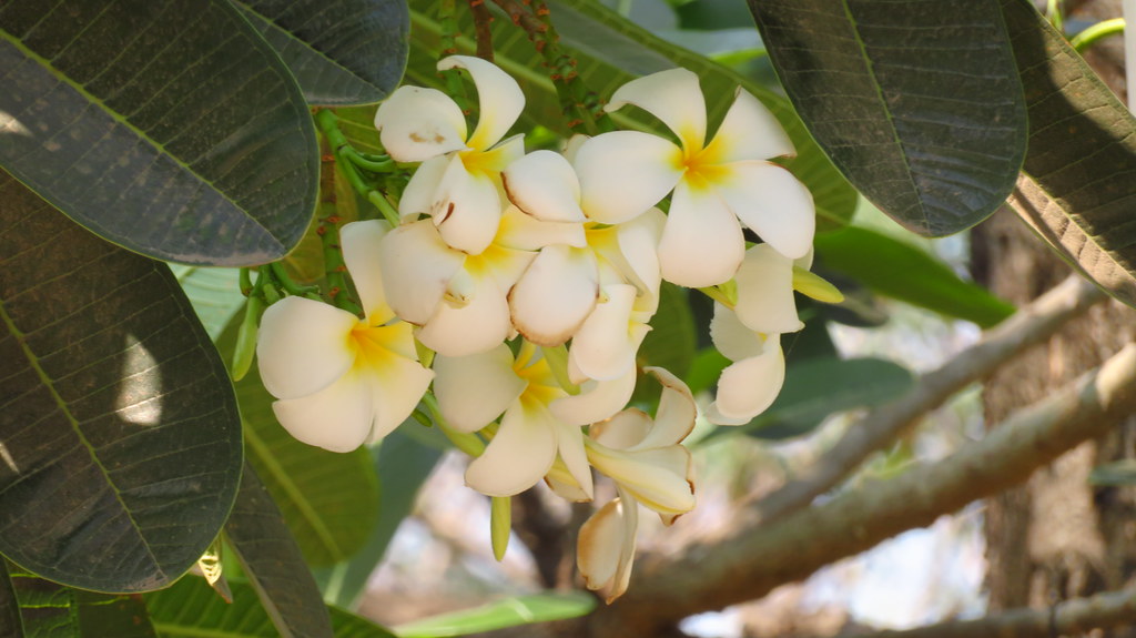
ดอกลีลาวดี

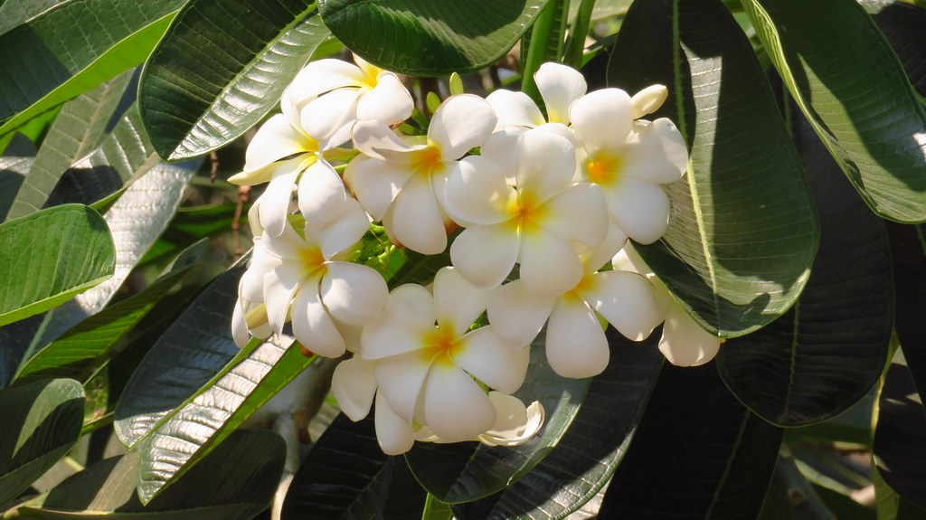
ดอกลีลาวดี

ดอกลีลาวดี
ดอกลีลาวดี

ดอกลีลาวดี
ดอกลีลาวดี

เฟอร์นิเจอร์

เฟอร์นิเจอร์

เฟอร์นิเจอร์

เฟอร์นิเจอร์

เฟอร์นิเจอร์

Khao Nok Yung, Phichit

สุสานหัวเฉียว #เชงเม้ง #เขาทราย #พิจิตร #MyFamily
Topographic Map of Dong Charoen District Office, ถนนเขาทราย - ตากฟ้า Tambon Wang Ngio Tai, Amphoe Dong Charoen, Chang Wat Phichit, Thailand
Find elevation by address:

Places near Dong Charoen District Office, ถนนเขาทราย - ตากฟ้า Tambon Wang Ngio Tai, Amphoe Dong Charoen, Chang Wat Phichit, Thailand:
Dong Charoen District
Wang Ngio Tai
Thap Khlo District Public Health Office
Thap Khlo
Thap Khlo District
Khao Sai
Bang Mun Nak District
Bang Mun Nak District Office
Noen Makok
Taphan Hin
Taphan Hin District
ที่ทำการอำเภอตะพานหิน
Tha Bua
ที่ว่าการอำเภอโพทะเล
Nong Phra
Wang Sai Phun District
Bueng Sam Phan District
ที่ว่าการอำเภอวังทรายพูน
Phichit
Thailand
Recent Searches:
- Elevation of Zu den Ihlowbergen, Althüttendorf, Germany
- Elevation of Badaber, Peshawar, Khyber Pakhtunkhwa, Pakistan
- Elevation of SE Heron Loop, Lincoln City, OR, USA
- Elevation of Slanický ostrov, 01 Námestovo, Slovakia
- Elevation of Spaceport America, Co Rd A, Truth or Consequences, NM, USA
- Elevation of Warwick, RI, USA
- Elevation of Fern Rd, Whitmore, CA, USA
- Elevation of 62 Abbey St, Marshfield, MA, USA
- Elevation of Fernwood, Bradenton, FL, USA
- Elevation of Felindre, Swansea SA5 7LU, UK