Elevation of Wang Chan District, Rayong, Thailand
Location: Thailand > Rayong >
Longitude: 101.502075
Latitude: 12.986408
Elevation: 43m / 141feet
Barometric Pressure: 101KPa
Elevation Map:
Satellite Map:
Related Photos:

Weber (Thailand) ผู้ผลิตฉลากสติ๊กเกอร์ชั้นนำของประเทศ

Cat's bedrm BKK view

nemon bay

Lamai Beach, cool and sexy luxury under thailand sun
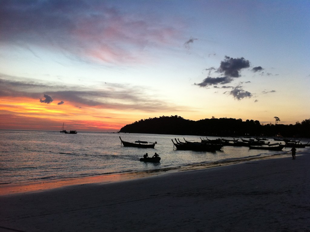
it's hard to take a bad picture at dusk on a beach

Koh Laan05

Koh Laan20
Ban Khao Hin Dat
Topographic Map of Wang Chan District, Rayong, Thailand
Find elevation by address:

Places in Wang Chan District, Rayong, Thailand:
Places near Wang Chan District, Rayong, Thailand:
Pa Yup Nai
Wangjuntr Golf Park
Sam Nak Thong
Klaeng District
Unnamed Road
Thung Khwai Kin
Phra Maha Chedi Si Thammasathit
Sukhumvit Road
Rayong
Tha Mai District
Chatrium Golf Resort Soi Dao Chanthaburi
Kabin Buri District
Sa Kaeo
Prachin Buri
Krong Pailin
Pailin
Soi Talad
67 Bamrung Rat Alley
Aranyaprathet
Kbal Spean
Recent Searches:
- Elevation of Corso Fratelli Cairoli, 35, Macerata MC, Italy
- Elevation of Tallevast Rd, Sarasota, FL, USA
- Elevation of 4th St E, Sonoma, CA, USA
- Elevation of Black Hollow Rd, Pennsdale, PA, USA
- Elevation of Oakland Ave, Williamsport, PA, USA
- Elevation of Pedrógão Grande, Portugal
- Elevation of Klee Dr, Martinsburg, WV, USA
- Elevation of Via Roma, Pieranica CR, Italy
- Elevation of Tavkvetili Mountain, Georgia
- Elevation of Hartfords Bluff Cir, Mt Pleasant, SC, USA