Elevation of Tha Mai District, Chanthaburi, Thailand
Location: Thailand > Chanthaburi >
Longitude: 102.003295
Latitude: 12.7375193
Elevation: 49m / 161feet
Barometric Pressure: 101KPa
Elevation Map:
Satellite Map:
Related Photos:

View over the rainforest
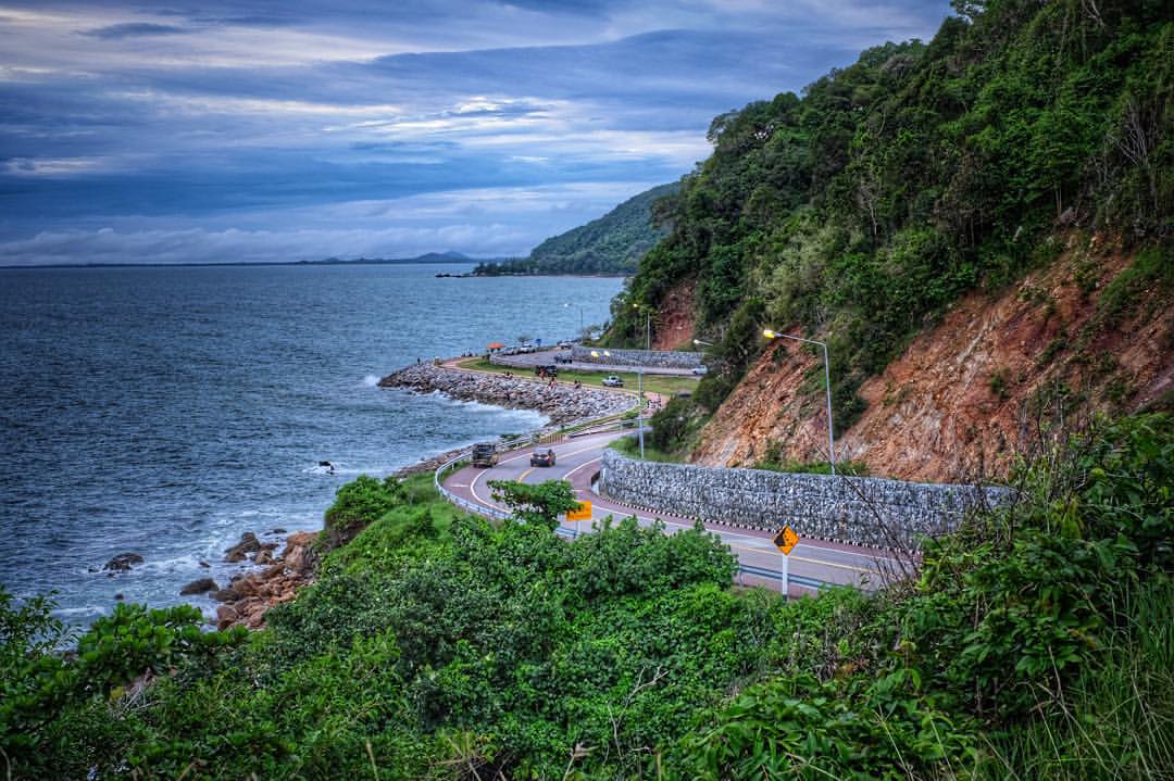
#landscape #thailand #35mm #fujifilm #sea #seascape
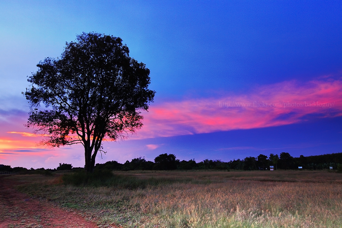
A lonely tree & the Belt of Venus
A lonely tree

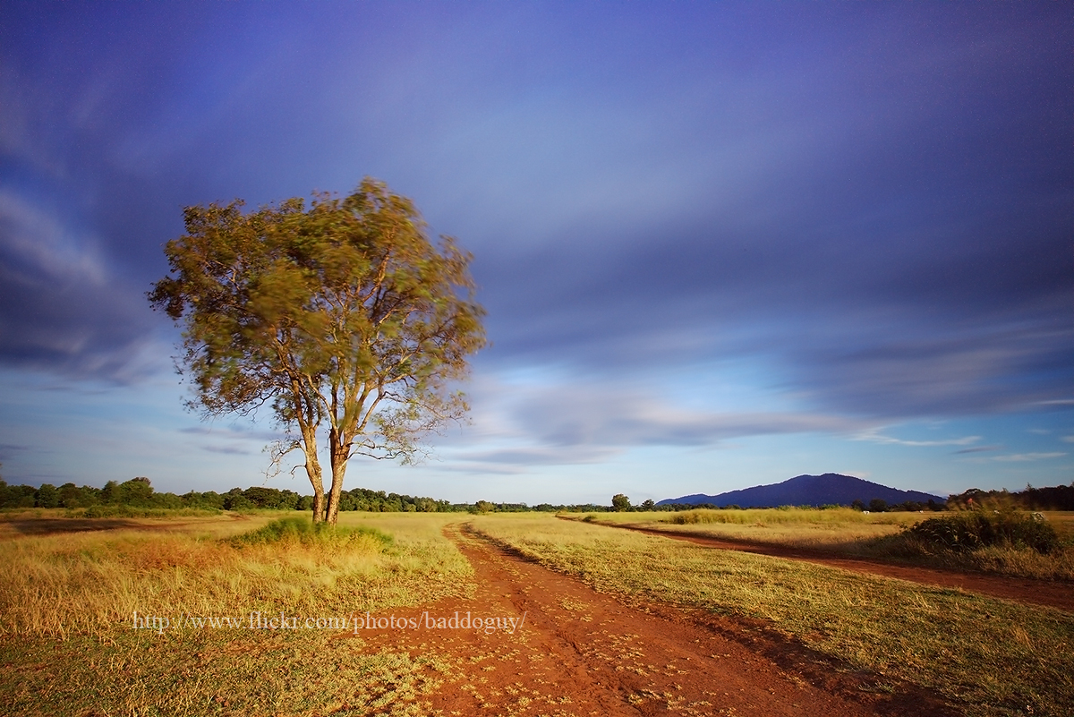
A lonely tree and sunrise
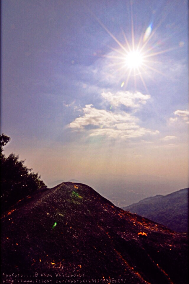
Khao Khitchakut

DSC_0083.jpg

DSC04770.jpg

DSC04768.jpg

DSC04767.jpg

DSC04759.jpg

DSC04758.jpg

DSC04757.jpg

DSC04756.jpg

DSC04755.jpg

DSC04754.jpg

DSC04753.jpg

DSC04752.jpg

DSC04751.jpg

DSC04750.jpg

DSC04749.jpg

DSC04747.jpg

DSC04746.jpg

DSC_0111.jpg

DSC_0113.jpg

DSC_0110.jpg

DSC_0109.jpg
Topographic Map of Tha Mai District, Chanthaburi, Thailand
Find elevation by address:

Places in Tha Mai District, Chanthaburi, Thailand:
Places near Tha Mai District, Chanthaburi, Thailand:
Sukhumvit Road
Thung Khwai Kin
Chatrium Golf Resort Soi Dao Chanthaburi
Klaeng District
Unnamed Road
Sam Nak Thong
Wang Chan District
Phra Maha Chedi Si Thammasathit
Pa Yup Nai
Krong Pailin
Pailin
Wangjuntr Golf Park
Rayong
Kbal Spean
Aranyaprathet
67 Bamrung Rat Alley
Krong Poi Pet
Sa Kaeo
Kabin Buri District
Soi Talad
Recent Searches:
- Elevation of Corso Fratelli Cairoli, 35, Macerata MC, Italy
- Elevation of Tallevast Rd, Sarasota, FL, USA
- Elevation of 4th St E, Sonoma, CA, USA
- Elevation of Black Hollow Rd, Pennsdale, PA, USA
- Elevation of Oakland Ave, Williamsport, PA, USA
- Elevation of Pedrógão Grande, Portugal
- Elevation of Klee Dr, Martinsburg, WV, USA
- Elevation of Via Roma, Pieranica CR, Italy
- Elevation of Tavkvetili Mountain, Georgia
- Elevation of Hartfords Bluff Cir, Mt Pleasant, SC, USA