Elevation of Wamba, Nigeria
Location: Nigeria >
Longitude: 8.6023254
Latitude: 8.943208
Elevation: 389m / 1276feet
Barometric Pressure: 97KPa
Elevation Map:
Satellite Map:
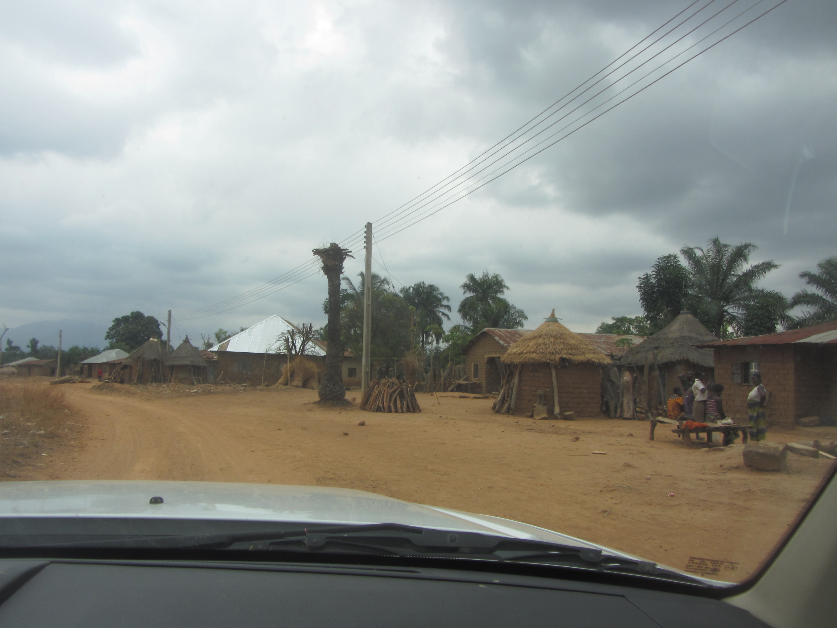
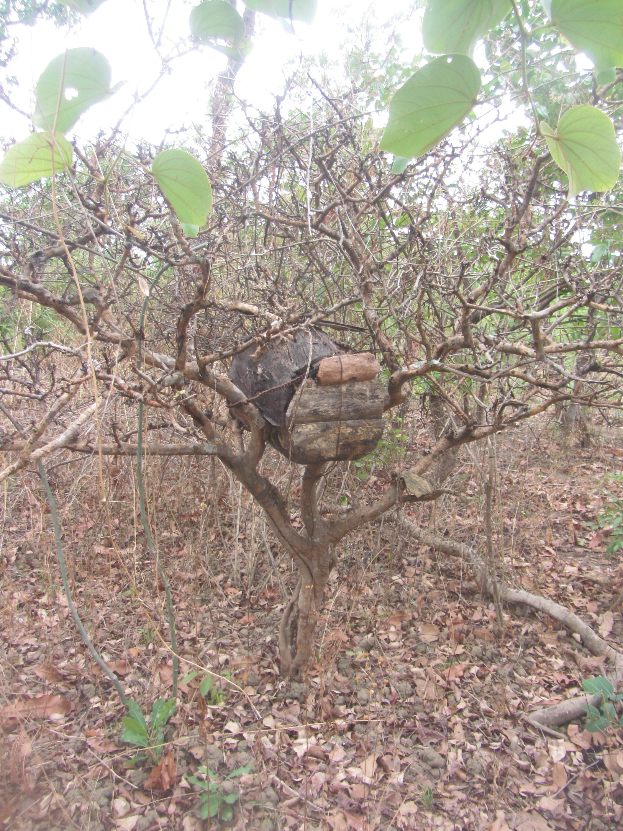
Related Photos:

gIMG_2635b

gIMG_2633b

IMG_2842
IMG_2596

IMG_2634

IMG_2630

IMG_2627
IMG_2626

IMG_2621

IMG_2613

IMG_2608
Topographic Map of Wamba, Nigeria
Find elevation by address:

Places near Wamba, Nigeria:
Recent Searches:
- Elevation of Corso Fratelli Cairoli, 35, Macerata MC, Italy
- Elevation of Tallevast Rd, Sarasota, FL, USA
- Elevation of 4th St E, Sonoma, CA, USA
- Elevation of Black Hollow Rd, Pennsdale, PA, USA
- Elevation of Oakland Ave, Williamsport, PA, USA
- Elevation of Pedrógão Grande, Portugal
- Elevation of Klee Dr, Martinsburg, WV, USA
- Elevation of Via Roma, Pieranica CR, Italy
- Elevation of Tavkvetili Mountain, Georgia
- Elevation of Hartfords Bluff Cir, Mt Pleasant, SC, USA