Elevation of Kuru, Nigeria
Location: Nigeria >
Longitude: 8.8359176
Latitude: 9.7184139
Elevation: 1302m / 4272feet
Barometric Pressure: 87KPa
Elevation Map:
Satellite Map:
Related Photos:

blue dish on rock hill

long green iron fence

Assop Water Falls

road to jos

Pawpaw tree

pool with no water ...

IMG-20111123-00057

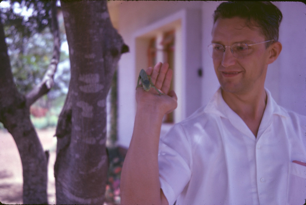
Ruth & frangipani Easter 61 (5)
Chameleon in hand

Plateau School hall 1962
Topographic Map of Kuru, Nigeria
Find elevation by address:

Places near Kuru, Nigeria:
Recent Searches:
- Elevation of Corso Fratelli Cairoli, 35, Macerata MC, Italy
- Elevation of Tallevast Rd, Sarasota, FL, USA
- Elevation of 4th St E, Sonoma, CA, USA
- Elevation of Black Hollow Rd, Pennsdale, PA, USA
- Elevation of Oakland Ave, Williamsport, PA, USA
- Elevation of Pedrógão Grande, Portugal
- Elevation of Klee Dr, Martinsburg, WV, USA
- Elevation of Via Roma, Pieranica CR, Italy
- Elevation of Tavkvetili Mountain, Georgia
- Elevation of Hartfords Bluff Cir, Mt Pleasant, SC, USA