Elevation of Walter Ward Rd, Nakina, NC, USA
Location: United States > North Carolina > Columbus County > Bug Hill >
Longitude: -78.69083
Latitude: 34.106754
Elevation: 15m / 49feet
Barometric Pressure: 101KPa
Elevation Map:
Satellite Map:
Related Photos:
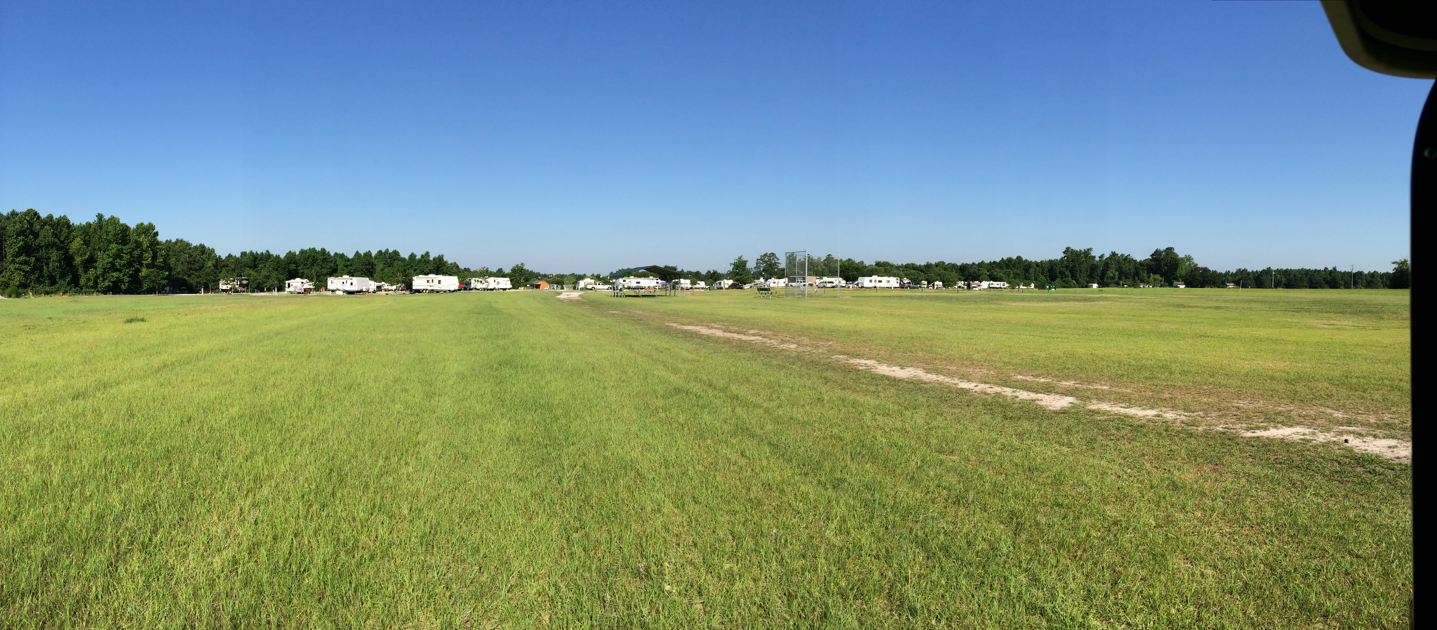
DSCN1012
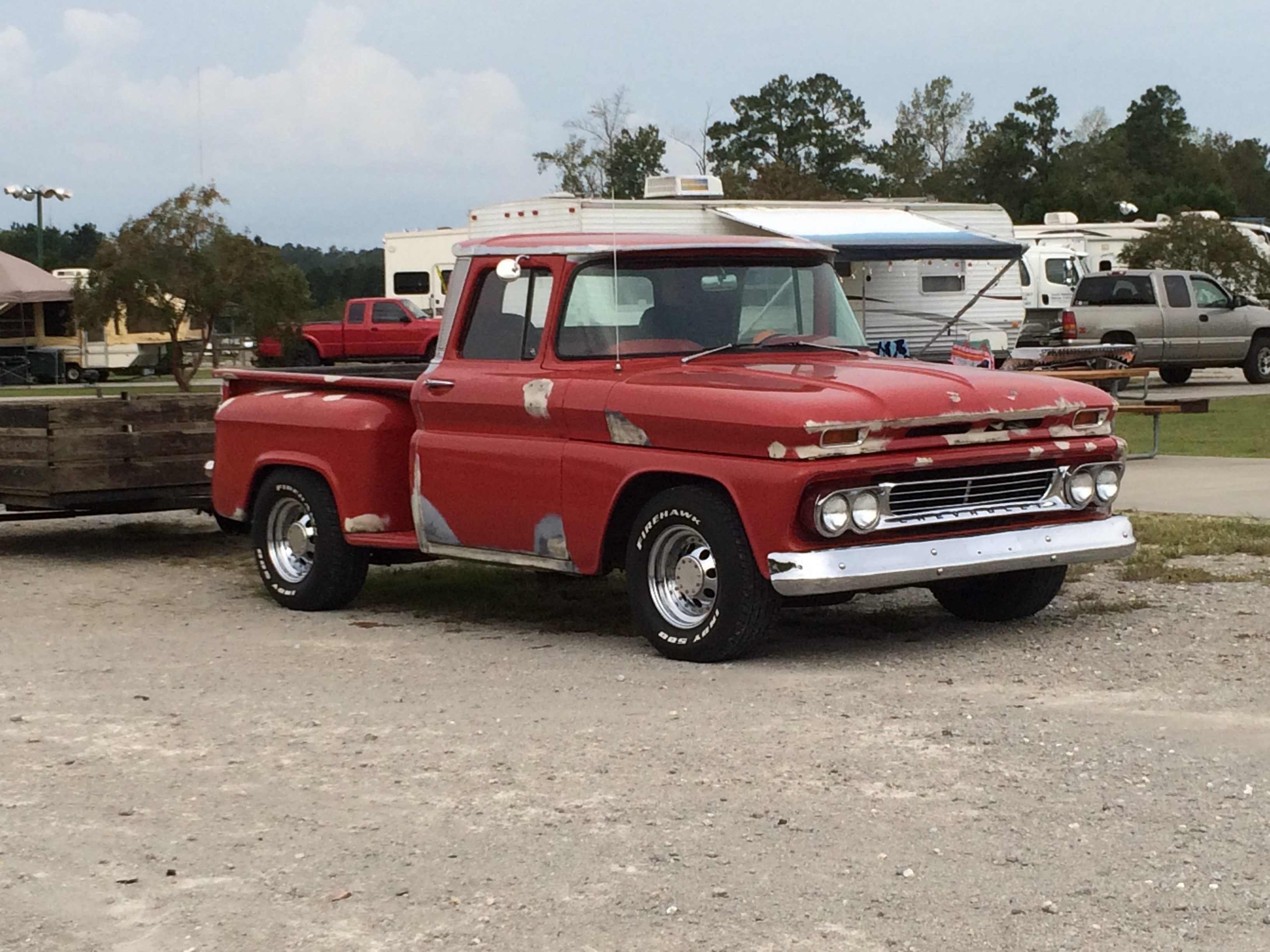
Eat Your Heart out Jim Roberts
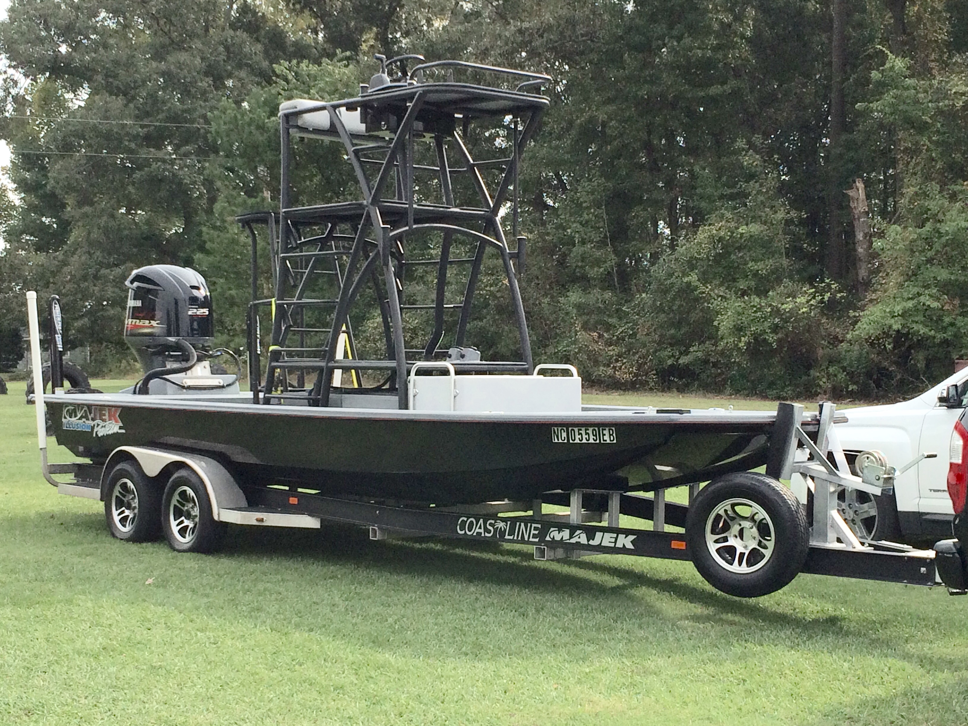
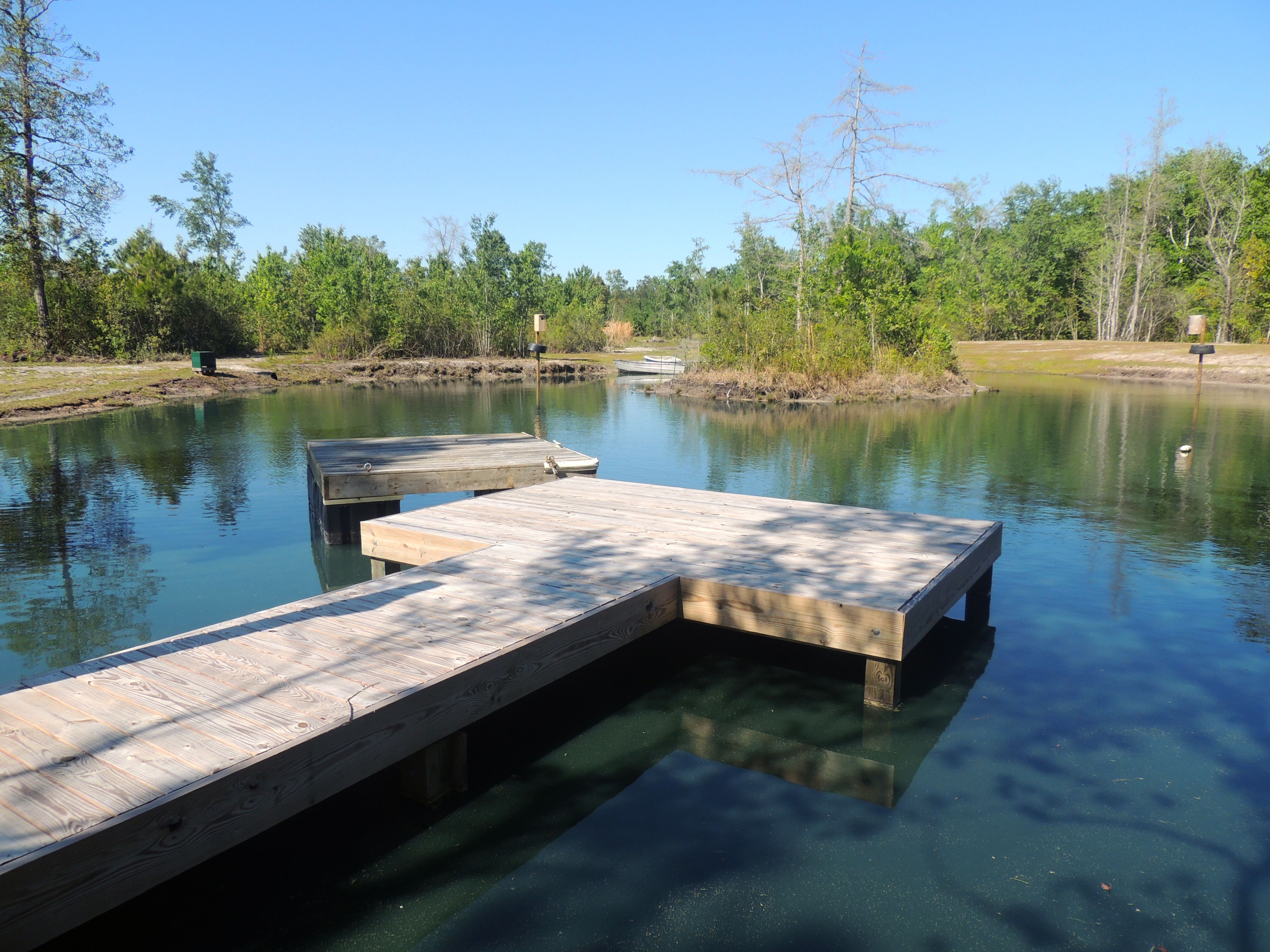
The Boat

Flying Free

Flying Free
Topographic Map of Walter Ward Rd, Nakina, NC, USA
Find elevation by address:

Places near Walter Ward Rd, Nakina, NC, USA:
9543 Lebanon Church Rd
Nakina
11254 7 Creeks Hwy
Swamp Fox Hwy E, Tabor City, NC, USA
John Gore Rd, Nakina, NC, USA
Bug Hill
Bug Hill
1283 Manley Smith Rd
Happy Home Rd, Nakina, NC, USA
18 Happy Home Rd
Old Tram Road
Lees
608 Trap Shooter Cir
Manley Smith Rd, Nakina, NC, USA
New Britton Hwy E, Whiteville, NC, USA
3799 Old Buck Creek Rd
Snake Island Rd, Whiteville, NC, USA
Willowtree Rv Resort
373 Harvest Moon Dr
1720 Lee Ln
Recent Searches:
- Elevation of Corso Fratelli Cairoli, 35, Macerata MC, Italy
- Elevation of Tallevast Rd, Sarasota, FL, USA
- Elevation of 4th St E, Sonoma, CA, USA
- Elevation of Black Hollow Rd, Pennsdale, PA, USA
- Elevation of Oakland Ave, Williamsport, PA, USA
- Elevation of Pedrógão Grande, Portugal
- Elevation of Klee Dr, Martinsburg, WV, USA
- Elevation of Via Roma, Pieranica CR, Italy
- Elevation of Tavkvetili Mountain, Georgia
- Elevation of Hartfords Bluff Cir, Mt Pleasant, SC, USA