Elevation of John Gore Rd, Nakina, NC, USA
Location: United States > North Carolina > Columbus County > Bug Hill >
Longitude: -78.646097
Latitude: 34.078876
Elevation: 12m / 39feet
Barometric Pressure: 101KPa
Elevation Map:
Satellite Map:
Related Photos:

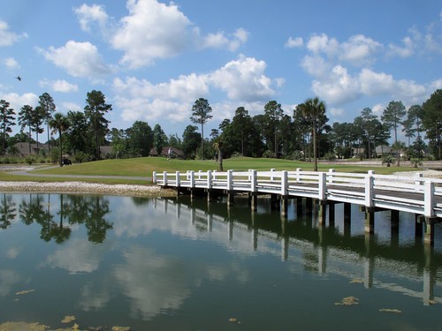
LK_20150801_0148-sm

LK_20150801_0015_Edit-sm
Brunswick Plantation
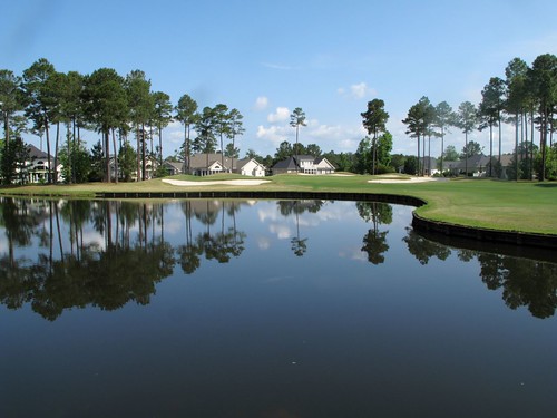
Brunswick Plantation

LK_20150801_0217_HDR-sm

LK_20150801_0226-sm

LK_20150801_0193-sm

LK_20150801_0108-sm

LK_20150801_0043-sm

Great Blue Heron

Wood ducks

Kittens!

These ill guys are so friendly.

Such a chill cat.

Little Bear

Kitten Hugs
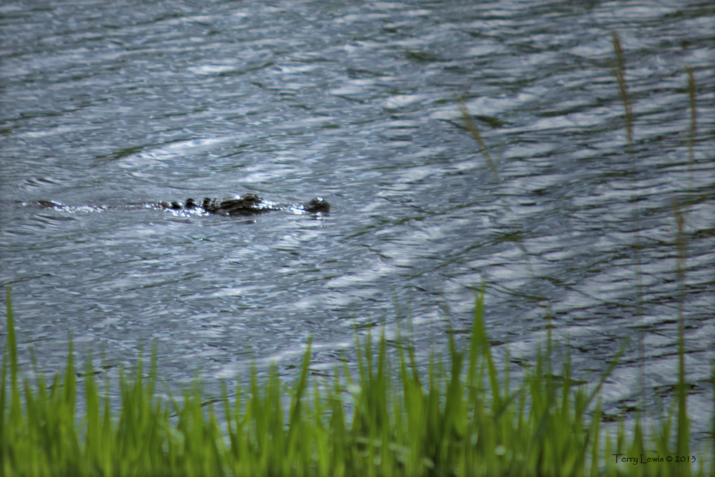
Gator 2

Gator 1

Sunset over NC 904 in Columbus County
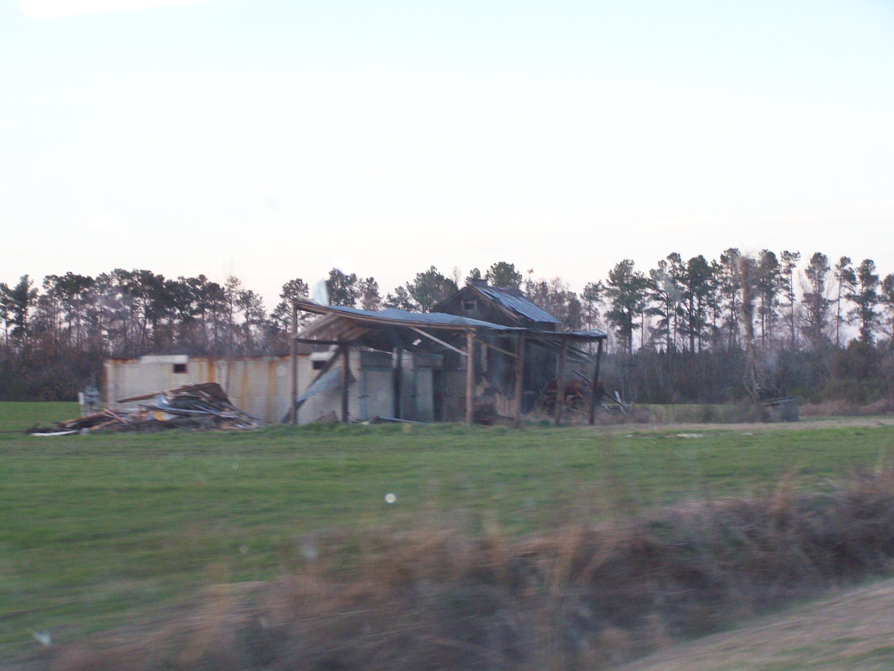
With the skeletal trees and tons of abandoned, dilapidated farm buildings, most of NC 904 is kind of depressing in the winter

300+ year old tree
Topographic Map of John Gore Rd, Nakina, NC, USA
Find elevation by address:

Places near John Gore Rd, Nakina, NC, USA:
Bug Hill
11254 7 Creeks Hwy
Bug Hill
Manley Smith Rd, Nakina, NC, USA
9543 Lebanon Church Rd
Swamp Fox Hwy E, Tabor City, NC, USA
3748 Ash Little River Rd Nw
2619 Ash Little River Rd Nw
608 Trap Shooter Cir
6905 Spring Branch Rd Nw
2890 Lake Cool Rd Nw
4605 Lake Cool Rd Nw
4605 Lake Cool Rd Nw
Willowtree Rv Resort
3799 Old Buck Creek Rd
7781 Etheridge Rd Nw
Ash
3000 Russtown Rd Nw
Longwood
373 Harvest Moon Dr
Recent Searches:
- Elevation of Corso Fratelli Cairoli, 35, Macerata MC, Italy
- Elevation of Tallevast Rd, Sarasota, FL, USA
- Elevation of 4th St E, Sonoma, CA, USA
- Elevation of Black Hollow Rd, Pennsdale, PA, USA
- Elevation of Oakland Ave, Williamsport, PA, USA
- Elevation of Pedrógão Grande, Portugal
- Elevation of Klee Dr, Martinsburg, WV, USA
- Elevation of Via Roma, Pieranica CR, Italy
- Elevation of Tavkvetili Mountain, Georgia
- Elevation of Hartfords Bluff Cir, Mt Pleasant, SC, USA