Elevation of Waloli, Maharashtra, India
Location: India > Maharashtra > Kolhapur >
Longitude: 74.0153231
Latitude: 16.7653542
Elevation: 563m / 1847feet
Barometric Pressure: 95KPa
Elevation Map:
Satellite Map:
Related Photos:

Lush and Green

Jai Shivaji Jai Bhavani #chhatrapati #Shivaji #kolhapur #kolhapurdiaries #travel
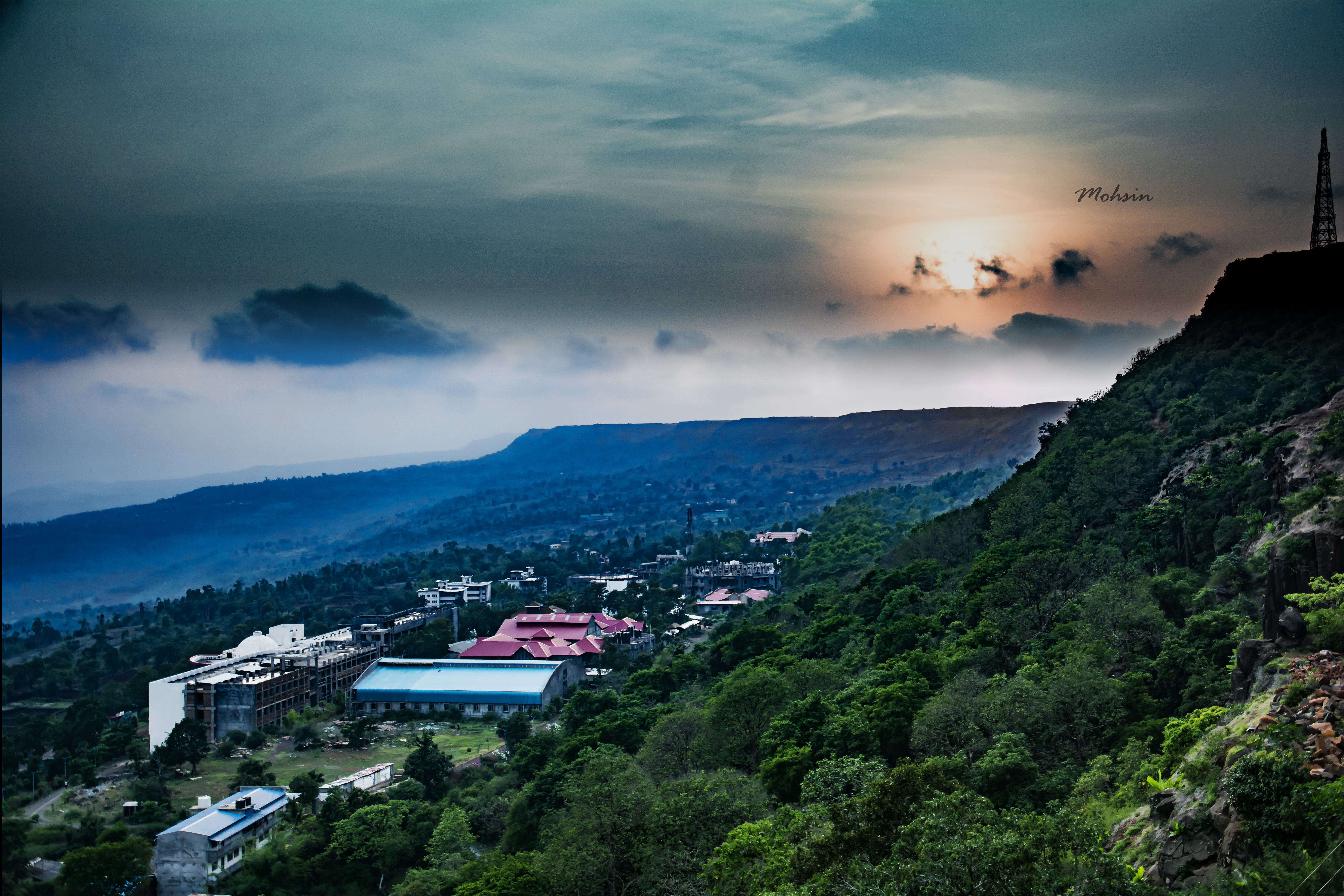
Sunset Point
Who knows the real #history?

Extra Sharp
Topographic Map of Waloli, Maharashtra, India
Find elevation by address:

Places near Waloli, Maharashtra, India:
Borgaon
Nanundre
Salwadi
Warnul
Telave
Walavekarwadi
Undri
Kololi
Desaiwadi
Bajar Bhogaon
Porle T.borgaon
Majnal
Katebhogaon
Bandivade
Kotoli
Porle Tarf Borgaon
Punal
Tirpan
Kherivade
Digawade
Recent Searches:
- Elevation of Corso Fratelli Cairoli, 35, Macerata MC, Italy
- Elevation of Tallevast Rd, Sarasota, FL, USA
- Elevation of 4th St E, Sonoma, CA, USA
- Elevation of Black Hollow Rd, Pennsdale, PA, USA
- Elevation of Oakland Ave, Williamsport, PA, USA
- Elevation of Pedrógão Grande, Portugal
- Elevation of Klee Dr, Martinsburg, WV, USA
- Elevation of Via Roma, Pieranica CR, Italy
- Elevation of Tavkvetili Mountain, Georgia
- Elevation of Hartfords Bluff Cir, Mt Pleasant, SC, USA