Elevation of Walnut Street, Walnut St, Leicester, Leicestershire LE2 7LD, UK
Location: United Kingdom > Leicestershire > Leicester >
Longitude: -1.1382707
Latitude: 52.6247283
Elevation: 61m / 200feet
Barometric Pressure: 0KPa
Related Photos:
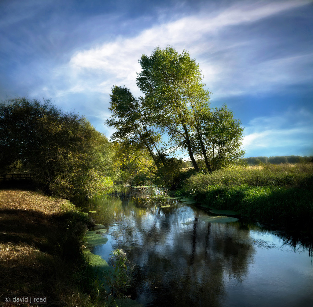
september river
15 - 46.
A Footpath.
Under The Clouds.
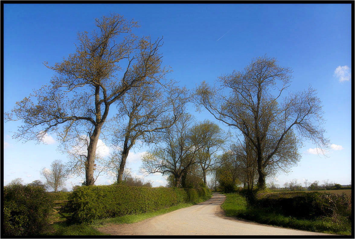
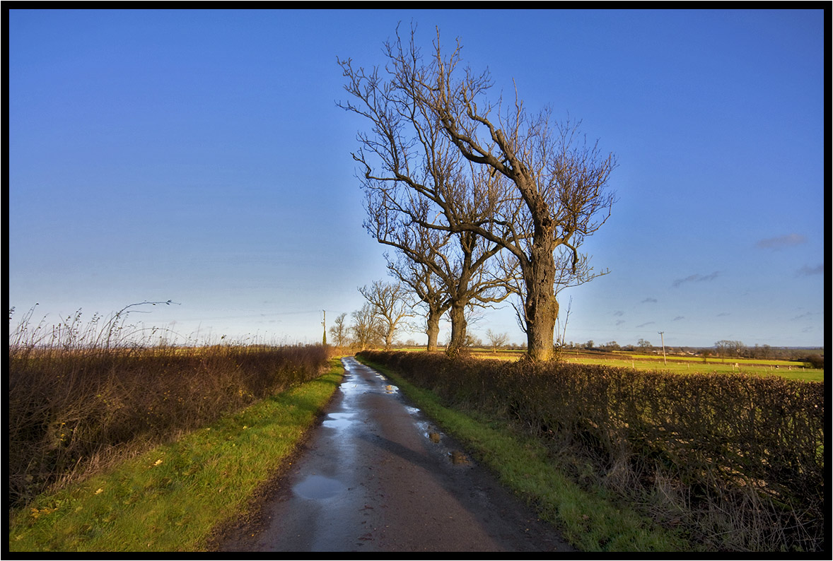
Country Lane.
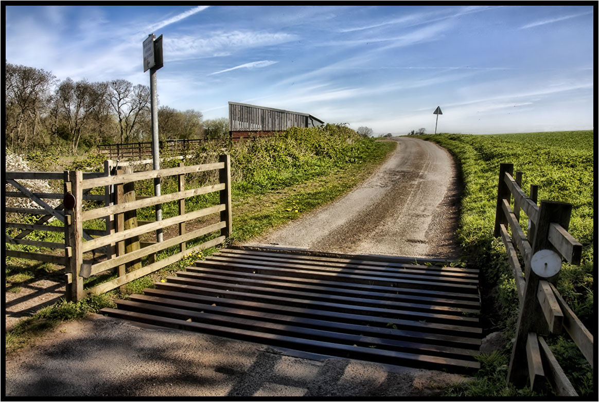
The Cattle Grid.
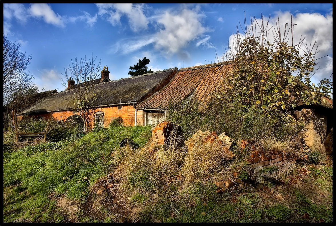
The Old Farm.
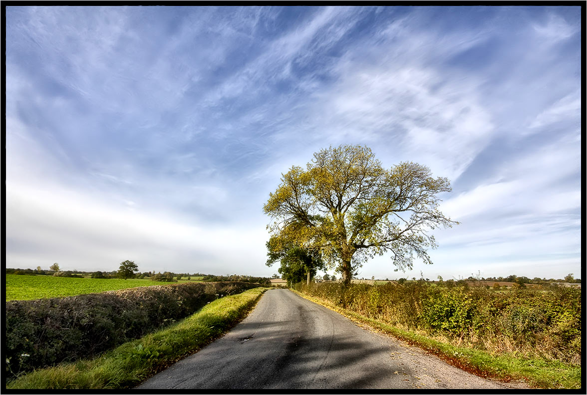
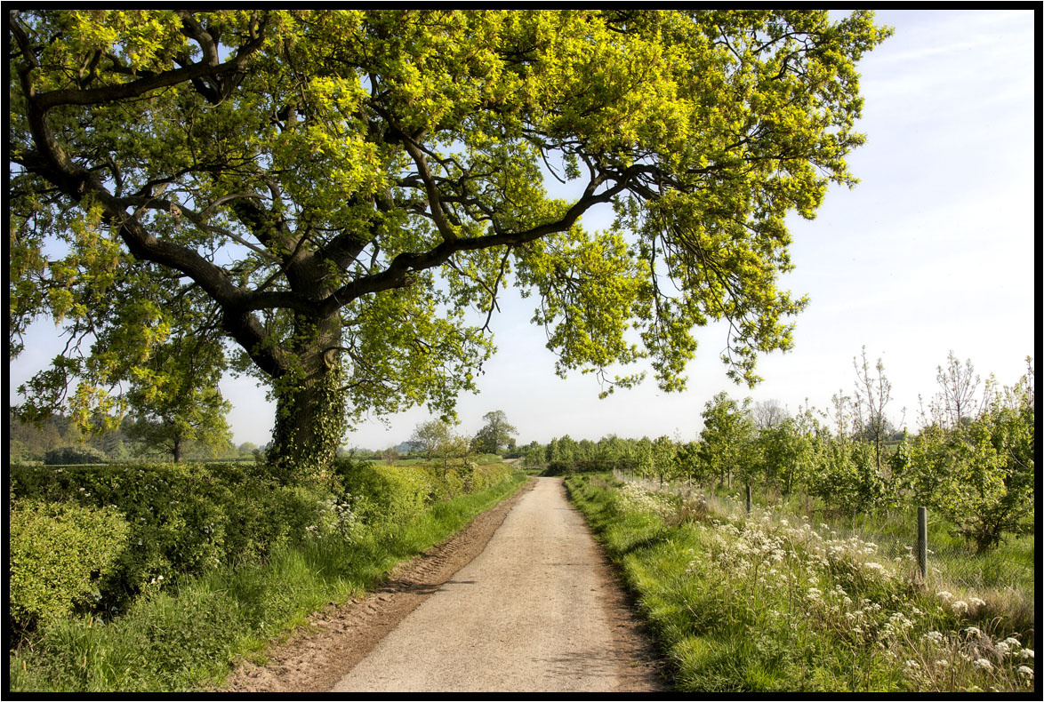
Country Lane
My Morning Walk.
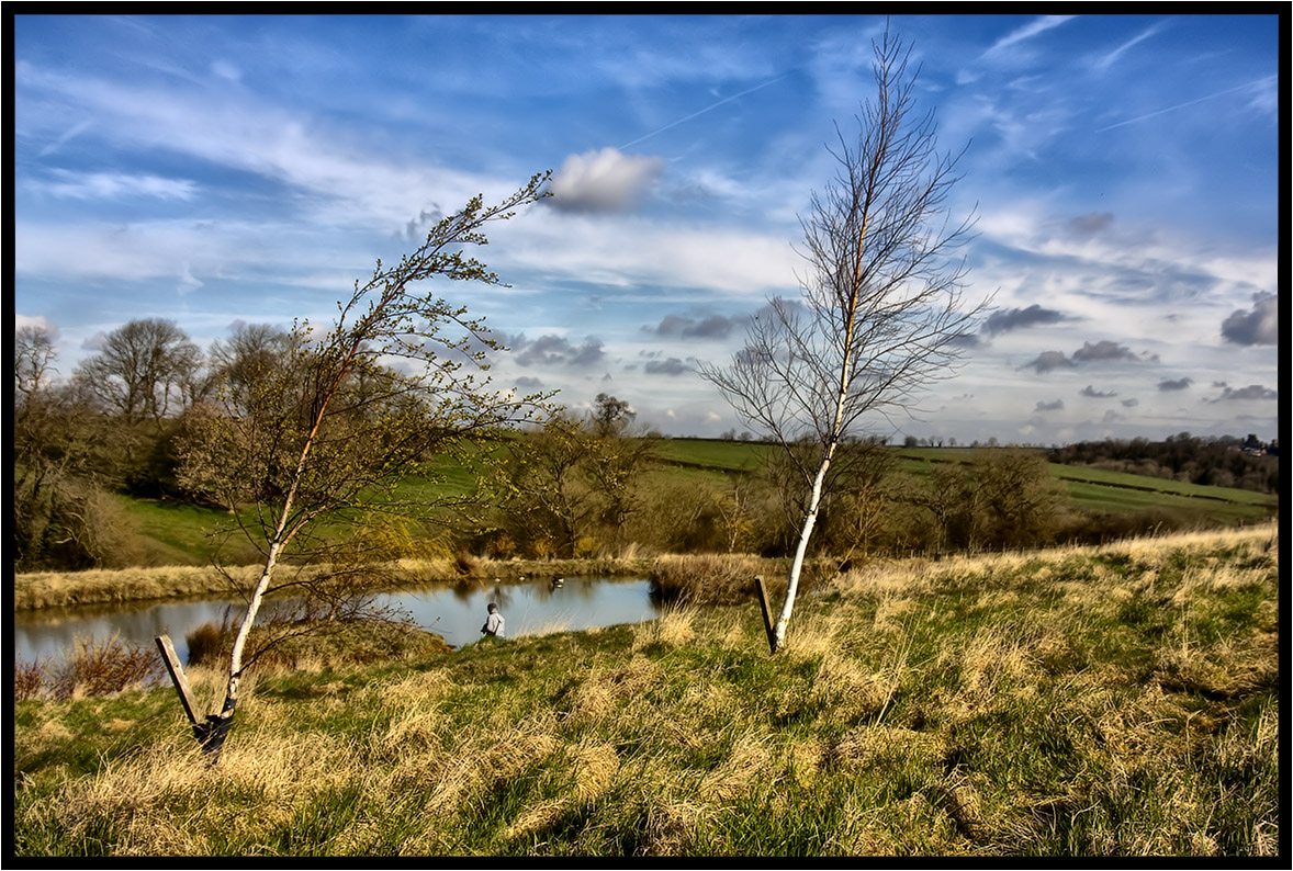
The Prevailing Wind.
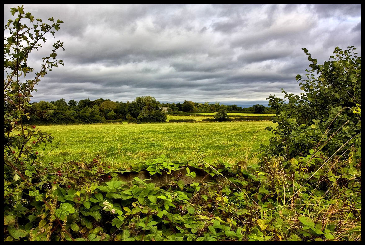
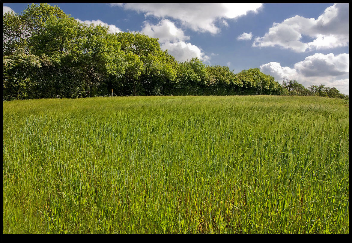
Across the fields.
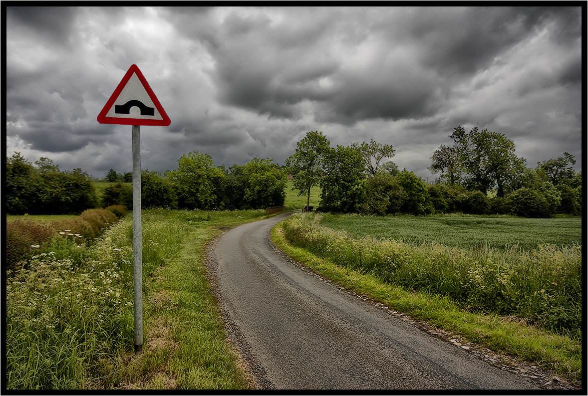
The Hump................
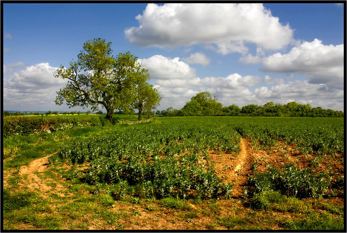
The Young Crop.

The runner.
A Light Breeze.
The Photographer.
The Lonely One.
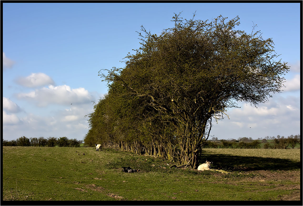
The Hawthorn Hedge.
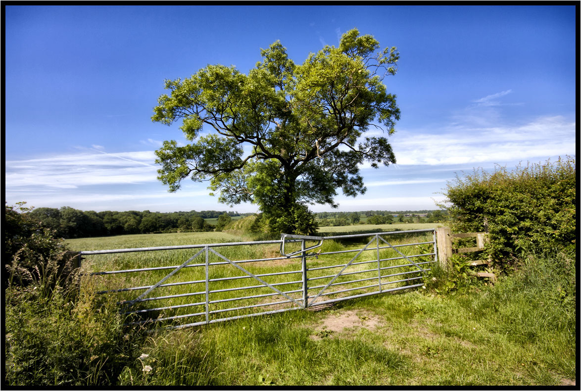
Gates, a Style and a Tree.
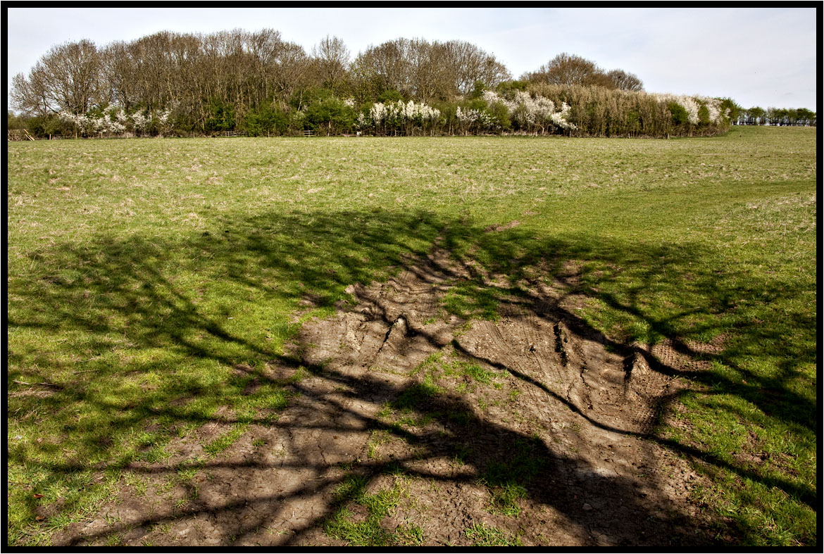
The Shadow.
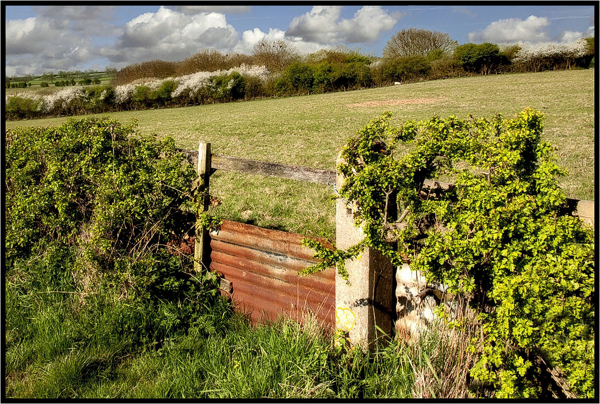
The Footpath Gate.
That field again.

Magical Frost

A Midsummer Night's Dream
The Bridleway.

Bradgate Park
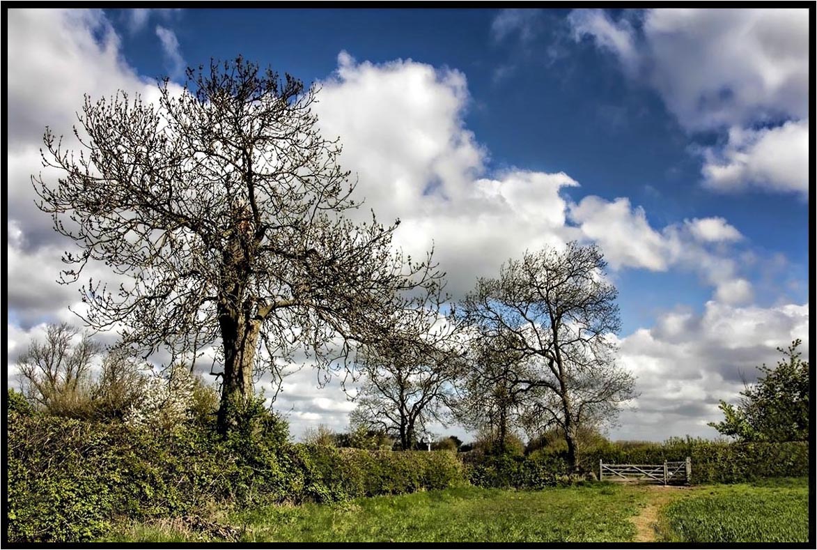
The Trees.
Evening over Bradgate

The Tree Of Light

Sunset over Birstall. Explored Oct 9th.

A Fated Sunset
New woodland.
South Leicester-shire.
Topographic Map of Walnut Street, Walnut St, Leicester, Leicestershire LE2 7LD, UK
Find elevation by address:

Places near Walnut Street, Walnut St, Leicester, Leicestershire LE2 7LD, UK:
Leicester
Leicester
Le1 7rh
Leicester Railway Station
Le1 1sp
73 Ave Rd Ext, Leicester LE2 3EP, UK
Blossom Road
Mere Road
2 Butterwick Dr, Leicester LE4 0UL, UK
Wigston
Mere Road
M1
Glenfield
Anstey
Le3 8rh
Malham Way
Swinstead Road
Bradgate Park
Main St, Swithland, Loughborough LE12 8TJ, UK
Swithland
Recent Searches:
- Elevation of 908, Northwood Drive, Bridge Field, Chesapeake, Virginia, 23322, USA
- Elevation map of Nagano Prefecture, Japan
- Elevation of 587, Bascule Drive, Oakdale, Stanislaus County, California, 95361, USA
- Elevation of Stadion Wankdorf, Sempachstrasse, Breitfeld, Bern, Bern-Mittelland administrative district, Bern, 3014, Switzerland
- Elevation of Z024, 76, Emil-von-Behring-Straße, Marbach, Marburg, Landkreis Marburg-Biedenkopf, Hesse, 35041, Germany
- Elevation of Gaskill Road, Hunts Cross, Liverpool, England, L24 9PH, United Kingdom
- Elevation of Speke, Liverpool, England, L24 9HD, United Kingdom
- Elevation of Seqirus, 475, Green Oaks Parkway, Holly Springs, Wake County, North Carolina, 27540, USA
- Elevation of Pasing, Munich, Bavaria, 81241, Germany
- Elevation of 24, Auburn Bay Crescent SE, Auburn Bay, Calgary, Alberta, T3M 0A6, Canada
- Elevation of Denver, 2314, Arapahoe Street, Five Points, Denver, Colorado, 80205, USA
- Elevation of Community of the Beatitudes, 2924, West 43rd Avenue, Sunnyside, Denver, Colorado, 80211, USA
- Elevation map of Litang County, Sichuan, China
- Elevation map of Madoi County, Qinghai, China
- Elevation of 3314, Ohio State Route 114, Payne, Paulding County, Ohio, 45880, USA
- Elevation of Sarahills Drive, Saratoga, Santa Clara County, California, 95070, USA
- Elevation of Town of Bombay, Franklin County, New York, USA
- Elevation of 9, Convent Lane, Center Moriches, Suffolk County, New York, 11934, USA
- Elevation of Saint Angelas Convent, 9, Convent Lane, Center Moriches, Suffolk County, New York, 11934, USA
- Elevation of 131st Street Southwest, Mukilteo, Snohomish County, Washington, 98275, USA