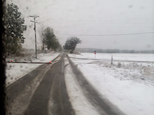
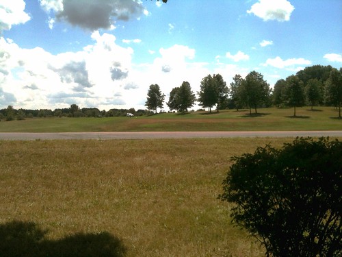
Elevation of Walnut Dr, Decatur, MI, USA
Location: United States > Michigan > Van Buren County >
Longitude: -86.130671
Latitude: 42.1094468
Elevation: 244m / 801feet
Barometric Pressure: 98KPa
Related Photos:
Topographic Map of Walnut Dr, Decatur, MI, USA
Find elevation by address:

Places near Walnut Dr, Decatur, MI, USA:
93079 Center St
Silver Creek Township
Territorial Rd, Decatur, MI, USA
28808 Yaw St
103 Mcmaster St
Dowagiac
26820 Dutch Settlement St
Indian Lake
Bainbridge Township
E Napier Ave, Benton Harbor, MI, USA
Naomi Rd, Eau Claire, MI, USA
Pokagon Township
57725 Sink Rd
Pipestone Township
6991 Ryno Rd
6991 Ryno Rd
M-62, Cassopolis, MI, USA
58620 Sink Rd
34453 Hampshire St
Lagrange Township
Recent Searches:
- Elevation of Corso Fratelli Cairoli, 35, Macerata MC, Italy
- Elevation of Tallevast Rd, Sarasota, FL, USA
- Elevation of 4th St E, Sonoma, CA, USA
- Elevation of Black Hollow Rd, Pennsdale, PA, USA
- Elevation of Oakland Ave, Williamsport, PA, USA
- Elevation of Pedrógão Grande, Portugal
- Elevation of Klee Dr, Martinsburg, WV, USA
- Elevation of Via Roma, Pieranica CR, Italy
- Elevation of Tavkvetili Mountain, Georgia
- Elevation of Hartfords Bluff Cir, Mt Pleasant, SC, USA


