Elevation of Waiouru Military Camp, New Zealand
Location: New Zealand > Manawatu-wanganui >
Longitude: 175.681675
Latitude: -39.470981
Elevation: -10000m / -32808feet
Barometric Pressure: 295KPa
Elevation Map:
Satellite Map:
Related Photos:
DawnOnTheMountain-908240824

Desert Road

Early Morning Mountain Light

Views from the observation deck of the train to Wellington

Views from the observation deck of the train to Wellington

Mount Ruapehu (south face), Tongariro NP, New Zealand

Clouds Over Ruapehu

Lake Rotokura

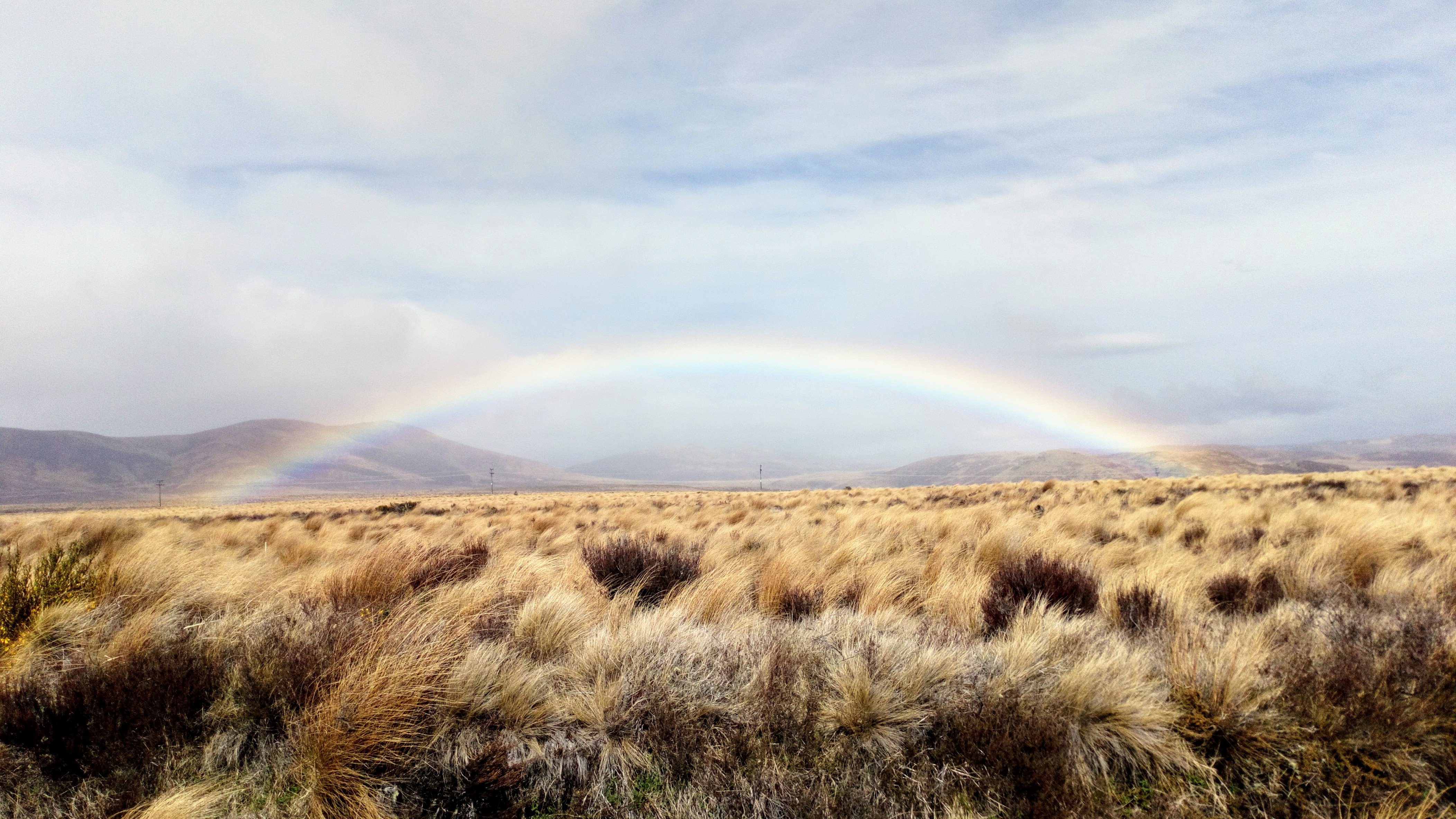
Rangipo Desert

Mount Tongariro
New Zealand

05-17 Taupo-Tongariro-01449-Pano

Lake Rotokuru & Mt Ruapehu

Doug Days XXI

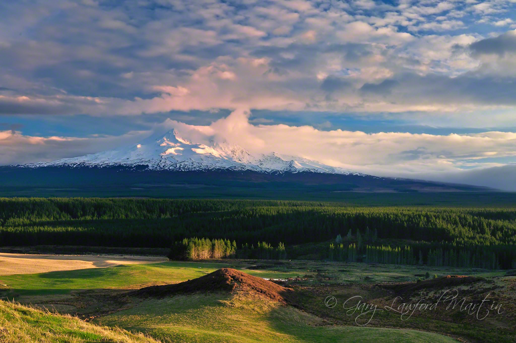
Majestic Mountain

影子愈來愈長了。

Waharau 2013-002

Ruapehu scene

347383297151676849_351712320140913-25723-1hfke81

邊坡的地形也很特殊。

遠看這些羊好像是草堆喔。

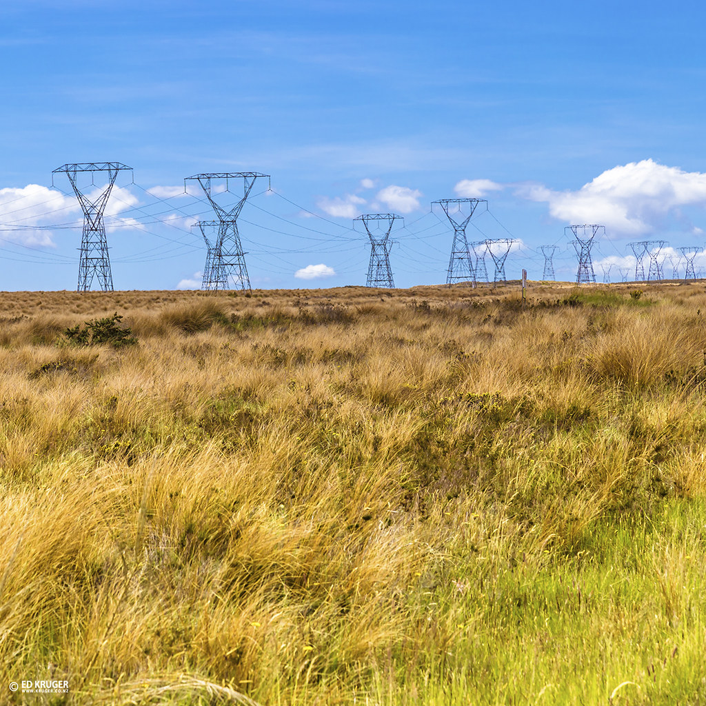
The National Grid

National Park
Rangipo Desert New Zealand
Topographic Map of Waiouru Military Camp, New Zealand
Find elevation by address:

Places near Waiouru Military Camp, New Zealand:
Waiouru Military Camp
Waiouru
Tangiwai Station Road
Tangiwai
3 Piwari St
17 Kaha Street
Rangataua
Ohakune
Ohakune Top 10 Holiday Park
Manawatu-wanganui
Raetihi Ohakune Road
Whitecliffs Boulders
Ōhingaiti
Raetihi
129 Ruatiti Road
Hunterville
Rangatira Road
Ridge Top Farm Walk
Ridge Top Farm Walk
1000 Mount Curl Road
Recent Searches:
- Elevation of Corso Fratelli Cairoli, 35, Macerata MC, Italy
- Elevation of Tallevast Rd, Sarasota, FL, USA
- Elevation of 4th St E, Sonoma, CA, USA
- Elevation of Black Hollow Rd, Pennsdale, PA, USA
- Elevation of Oakland Ave, Williamsport, PA, USA
- Elevation of Pedrógão Grande, Portugal
- Elevation of Klee Dr, Martinsburg, WV, USA
- Elevation of Via Roma, Pieranica CR, Italy
- Elevation of Tavkvetili Mountain, Georgia
- Elevation of Hartfords Bluff Cir, Mt Pleasant, SC, USA