Elevation of Rangataua, New Zealand

Location: New Zealand > Manawatu-wanganui >

Longitude: 175.453456

Latitude: -39.427629

Elevation: 672m / 2205feet

Barometric Pressure: 94KPa

Elevation Map:

elevation map of Rangataua, New Zealand

Satellite Map:

Satellite map of Rangataua, New Zealand

Related Photos:

dominicscott newzealand mountain mountruapehu volcano volcanic winter snow trees northisland breathtakinglandscapes sony ilce7rm3 sel70200gm leefilters manfrotto girdlestone peak ruapehu
Girdlestone Peak Mount Ruapehu - New Zealand
ohakune ruapehu tongariro manawatuwanganui berg schnee wiese bäume kühe farm rasen zaun panorama wolken abend sonnenuntergang neuseeland
View towards Mt. Ruapehu
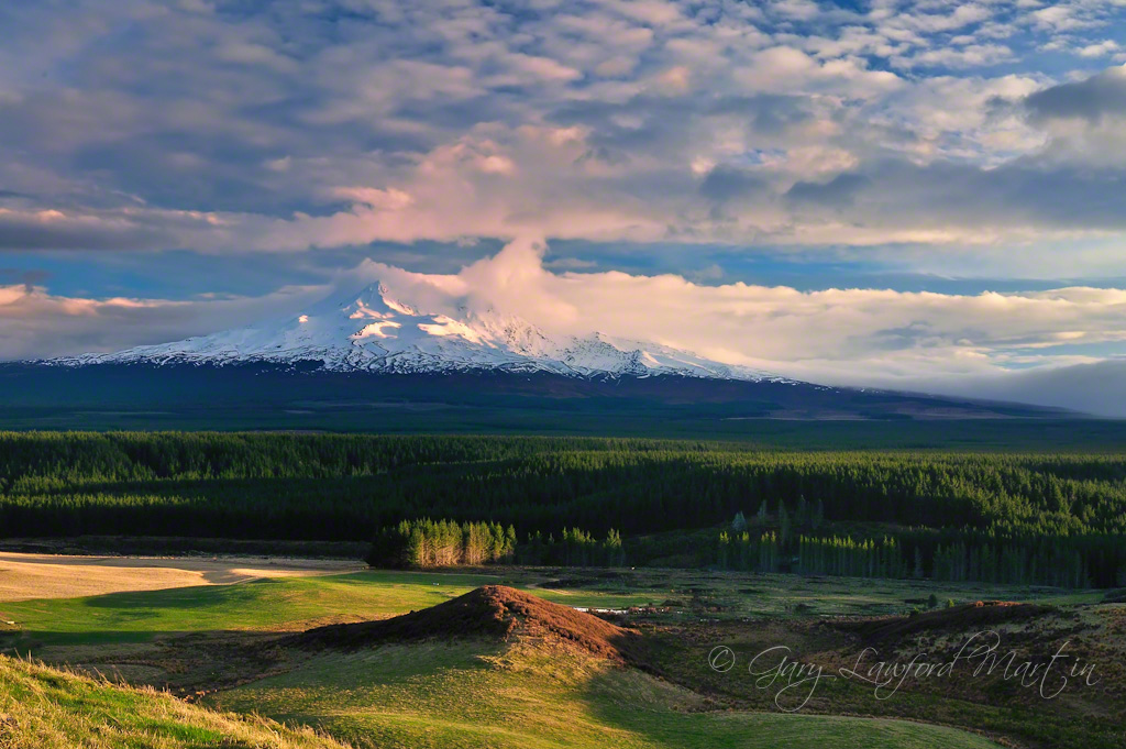
newzealand northisland westcoast mtegmont mttaranaki thelastsamuri moviebackdrop panasoniclumixfz200 panasoniclumixdmcfz200 viewfrommtruapehu
mt taranaki
Mount Ruapehu
mountruapehu mangawherofalls tongarironationalpark manawatuwanganui northisland nz newzealand stream mountain
Tongariro National Park, NZ - Above Mangawhero Falls - View to Mount Ruapehu
Tongariro National Park, NZ - Waitonga Falls
newzealand snow nature landscape photography rocks view nz northisland environment turoa mountruapehu turoaskifield uploaded:by=flickrmobile flickriosapp:filter=nofilter
Mt Ruapehu
old newzealand house building abandoned home rural decay cottage railway dilapidated wanganui deterioration whanganui manawatu whare rangataua oldandbeautiful oncewashome
Old house, Rangataua, Manawatu Whanganui, New Zealand
tongarironationalpark northisland nz newzealand mountruapehu roundthemountaintrack waitongafalls lake relection
Tongariro National Park, NZ - Mount Ruapehu from Round the Mountain Track to Waitonga Falls
Tongariro National Park, NZ - View from Above Mangawhero Falls
newzealand mountains 35mm volcano kodak smoke september scanned ash 1995 kodachrome eruption asa200 lahar ohakune mtruapehu
Mt Ruapehu, New Zealand
Mt. Ruapehu
mangaehuehuhut tongarironationalpark mtruapehu roundthemountain tramping wtmc clouds blue forest 3652011 wellingtontrampingmountaineeringclub
A view worth seeing (113:365)
newzealand mountain snow landscape volcano scenery september northisland tongariro ruapehu ohakune manawatu 2011 centralplateau
Mount Ruapehu (west face), Tongariro NP, New Zealand
new branch ghost rail railway zealand ohakune raetihi nzr
Mystery Pile view at Maori Hill
huntingvolcanoes
Mt Taranaki
Snow on Ruapehu (1)
newzealand sunrise dawn tongarironationalpark mtruapehu
DawnOnTheMountain-908240824
newzealand mountain 22 scenery geocaching nz aotearoa mtruapehu mountruapehu gc5qvmd p2388geo
Mount Ruapehu
newzealand panorama holiday volcano outdoor turoa ruapehu taranaki egmont
View Below Turoa Skifield
newzealand island volcano north tongarirocrossing vista tramping turoa wow1 wow2 wow3 wow4 mountngauruhoe wow5 mountainscapes mountainsrocks doublyniceshot mygearandme mygearandmepremium blinkagain dblringexcellence tplringexcellence taupotongariroruapehu bestofblinkwinners artistoftheyearlevel3 artistoftheyearlevel4 flickrstruereflection1 flickrstruereflection2 flickrstruereflection3 flickrstruereflection4 flickrstruereflection5 flickrstruereflection6 flickrstruereflection7 eltringexcellence flickrstruereflectionexcellence trueexcellence1 rememberthatmomentlevel4 rememberthatmomentlevel1 rememberthatmomentlevel2 rememberthatmomentlevel3 soulocreativity3 soulocreativity1 rememberthatmomentlevel5 rememberthatmomentlevel6 soulophotography2
Tongariro Crossing North Island NZ
Mont Ruapehu, Tongariro National Park
sky mountain clouds geotagged volcano bush framed 2009 turoa ruapehu puffywhiteclouds mywinners goldstaraward tomraven geo:lat=39306144 geo:lon=175524273 q109
Land of the Puffy White Clouds
waitongafallstrack ruapehu newzealand winter bushwalk ohakune
Waitonga Falls
new newzealand summer cloud sun ski tree green nature yellow rural landscape town scenery hill peaceful tourist peter zealand gateway fields destination pastures accommodation region idyllic base turoa tranquil nzl ohakune kurdulija okahune manawatuwanganui
Picture-perfect
geo:lat=3942696510 geo:lon=17528173430 geotagged manawatuwanganui newzealand nzl raetihi new zealand ratana church sunset landscape sacred cloud historic old maori movement christianity freedom tree religion manawatu kurdulija
Place of Worship
Tongariro National Park, NZ - Mount Ruapehu from Okahune Mountain Road
new newzealand zealand nz tongarironationalpark rtw manawatuwanganui
Mount Ruapehu
newzealand landscape waterfall tongarironationalpark mtruapehu adrianrumney
Mangawhero Falls - Mt Ruapehu-1
newzealand tongarironationalpark northisland worldheritage mountruapehu tahurangi mangaehuehuhut girdlestonepeak
Ruapehu dawn
old newzealand house building abandoned home farmhouse rural ruins decay farm cottage aged derelict ruapehu dilapidated deterioration raetihi oldandbeautiful oncewashome
Old house, Raetihi, Ruapehu District, New Zealand
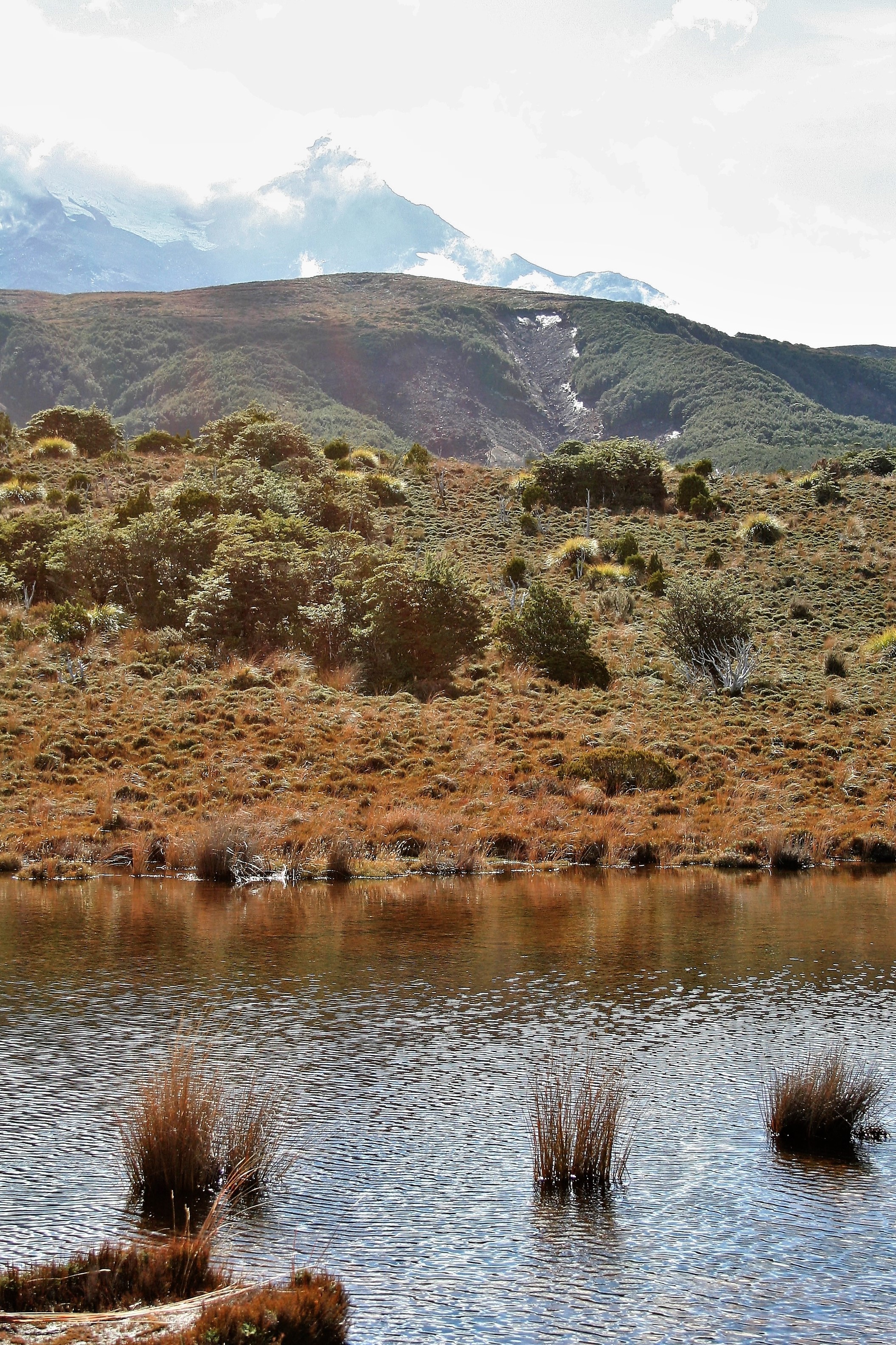
tongarironationalpark manawatuwanganui newzealand
Rotokawa Tarn
newzealand mountain snow forest hiking bluesky backpacking tongarironationalpark northisland tussock worldheritage mountruapehu beechforest tahurangi girdlestonepeak roundthemountaintrack olympus45mmf18
Ruapehu glory
tongarironationalpark northisland newzealand nz boardwalk waitongafalls roundthemountaintrack lakes reflections flickrtravelaward
Tongariro National Park, NZ - Boardwalk on Round the Mountain Track to Waitonga Falls
landscape vehicle truck horopito manawatuwanganui
road trips past
northislandmaintrunk nimt bridge viaduct rustyrails hapuawhenuaviaduct ohakunecoachroad
Hapuawhenua Viaduct.