Elevation of Wahpeton, ND, USA
Location: United States > North Dakota > Richland County >
Longitude: -96.605907
Latitude: 46.2652367
Elevation: 294m / 965feet
Barometric Pressure: 98KPa
Elevation Map:
Satellite Map:
Related Photos:
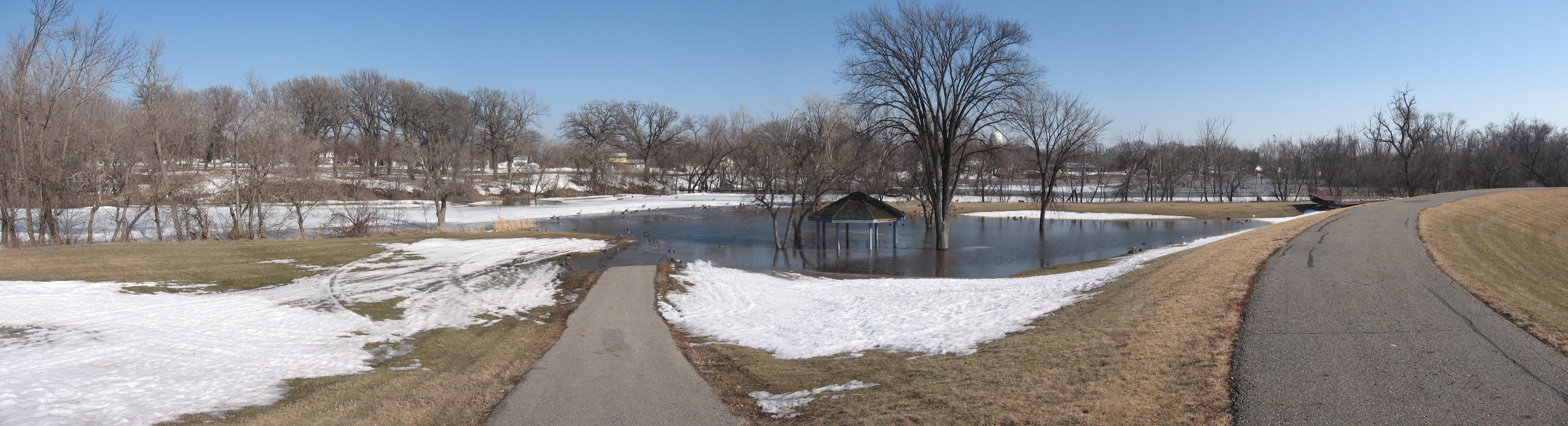
Running path and shelter
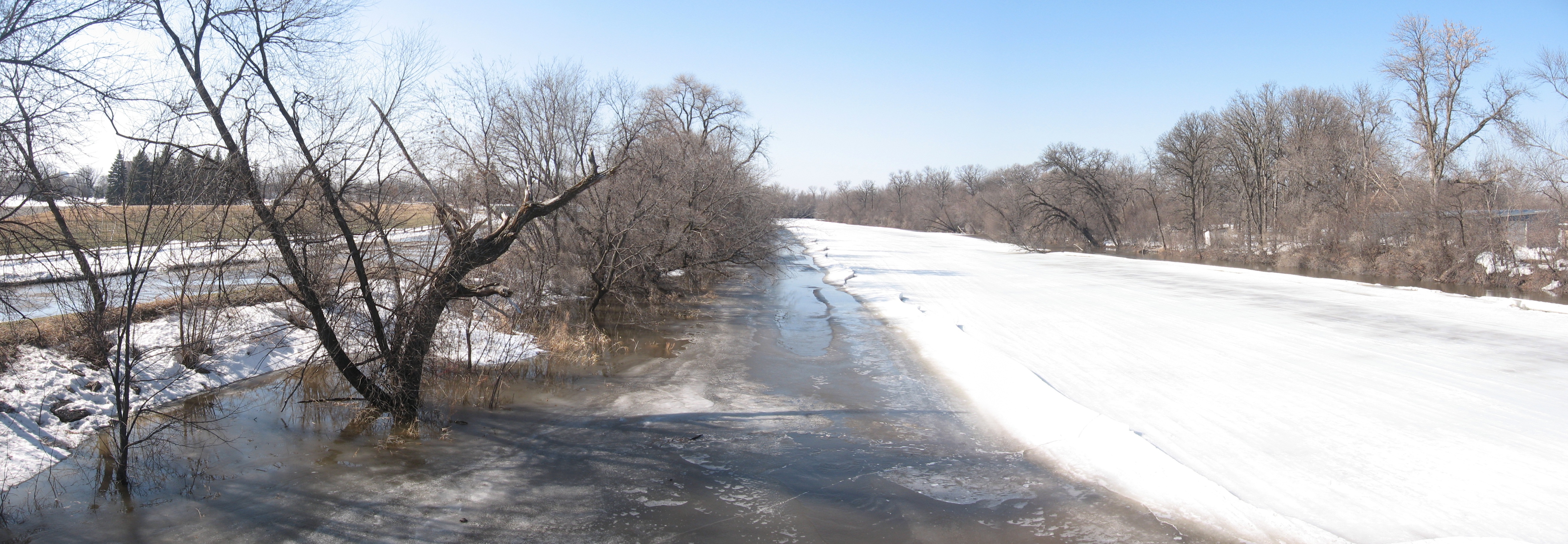
Red River by golf couse

Central School
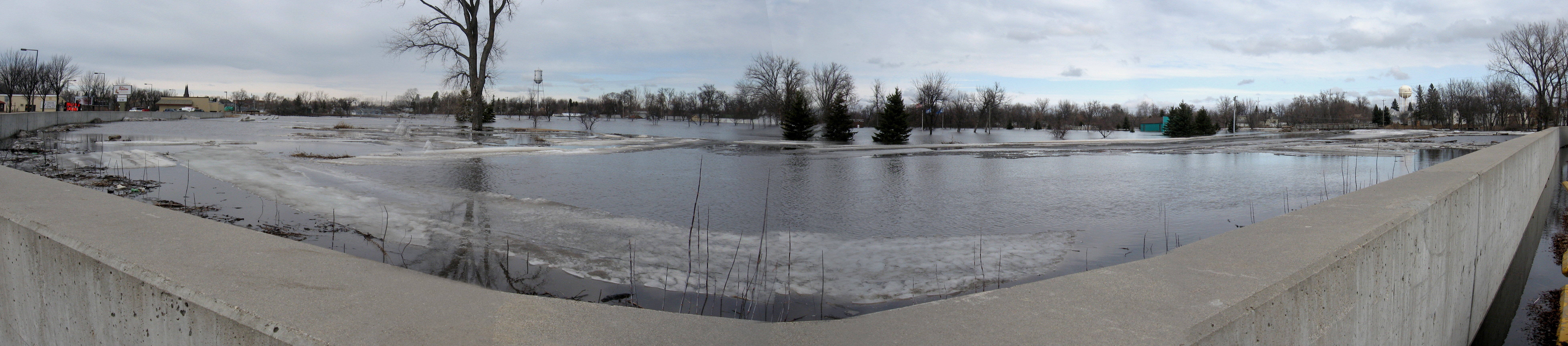
River wall
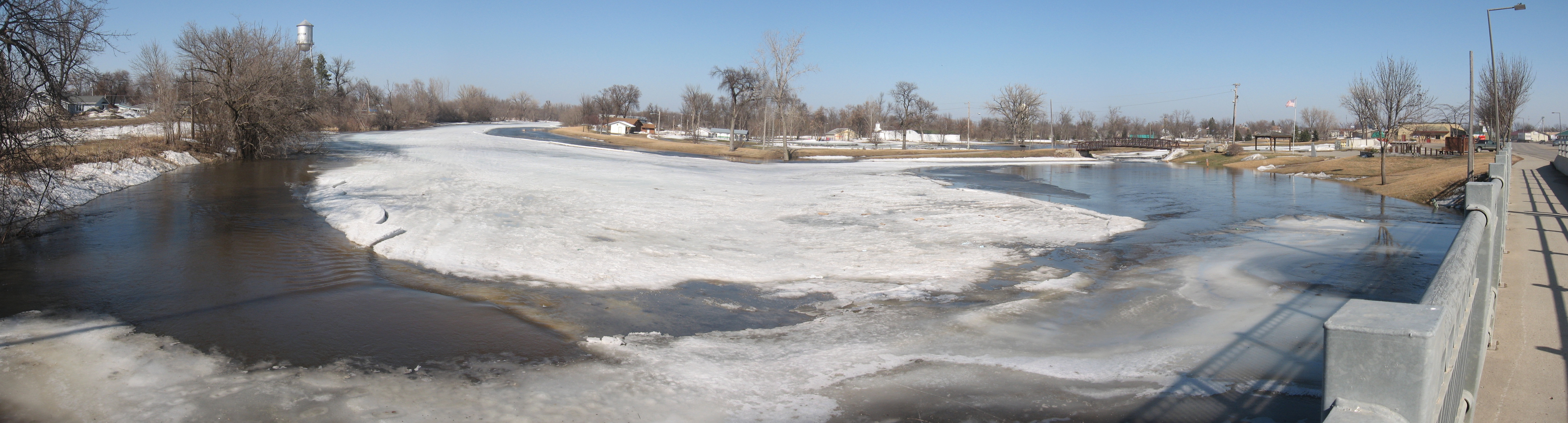
Red River headwaters
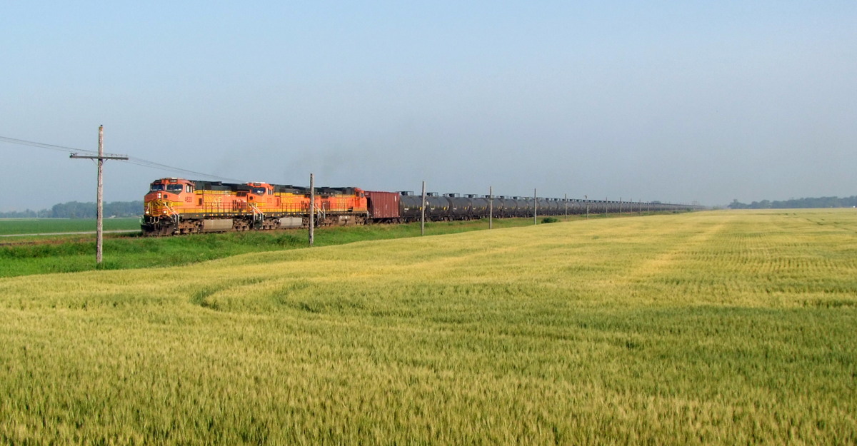
BNSF 4620 @ Breckenridge
Tyler, North Dakota
Elmore, North Dakota
Farmington, North Dakota
Elmore, North Dakota
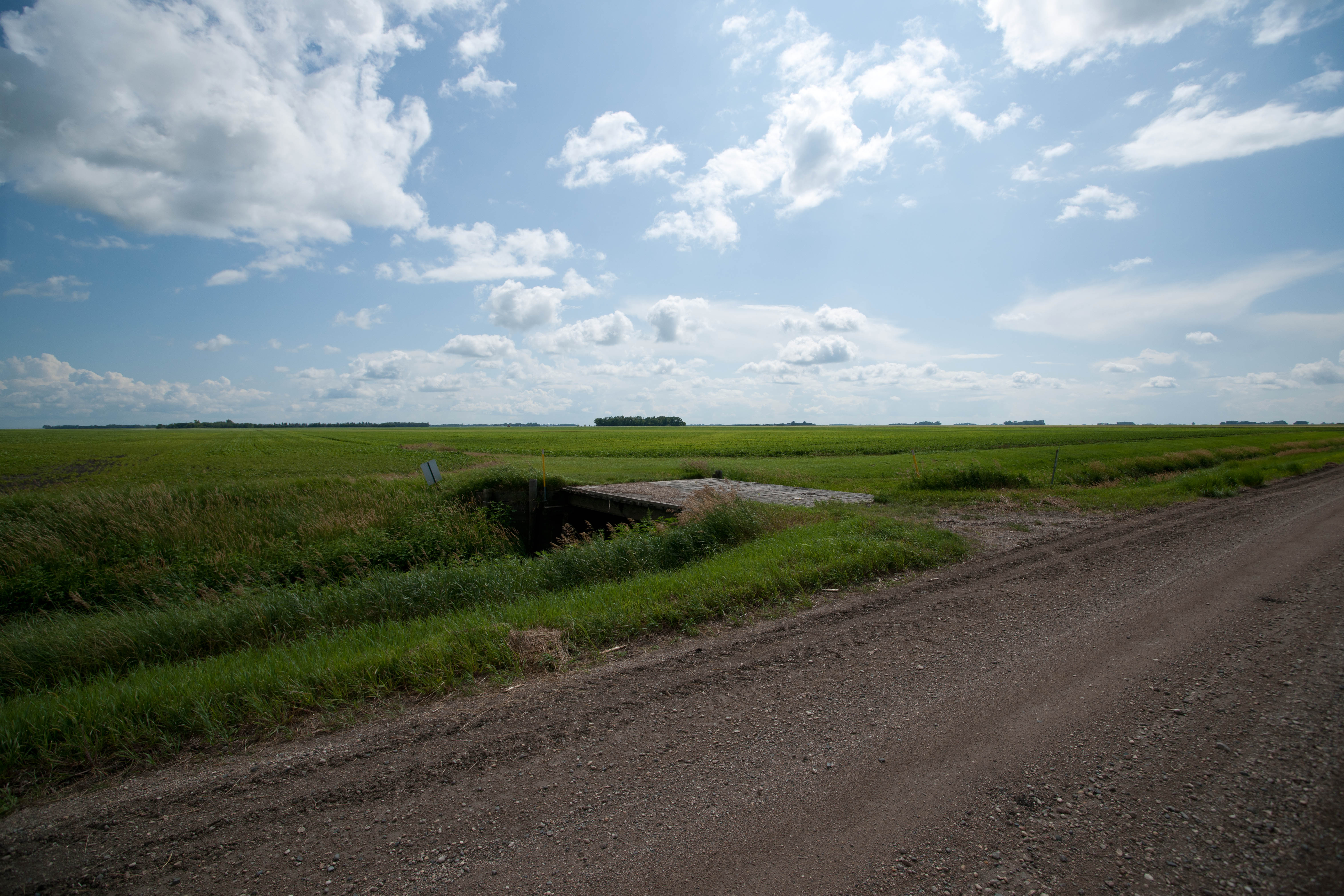
Tyler, North Dakota
Elmore, North Dakota
Farmington, North Dakota
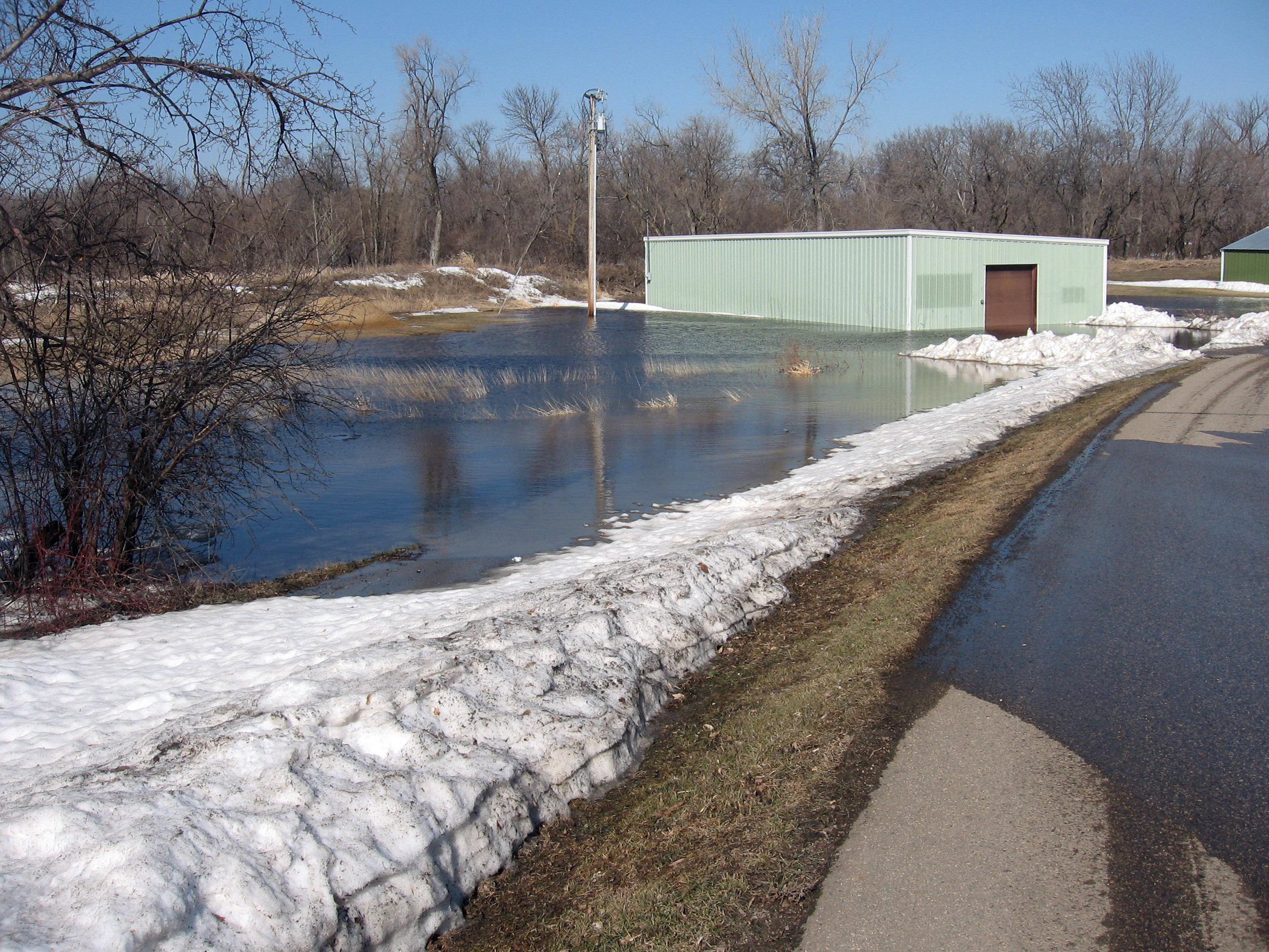
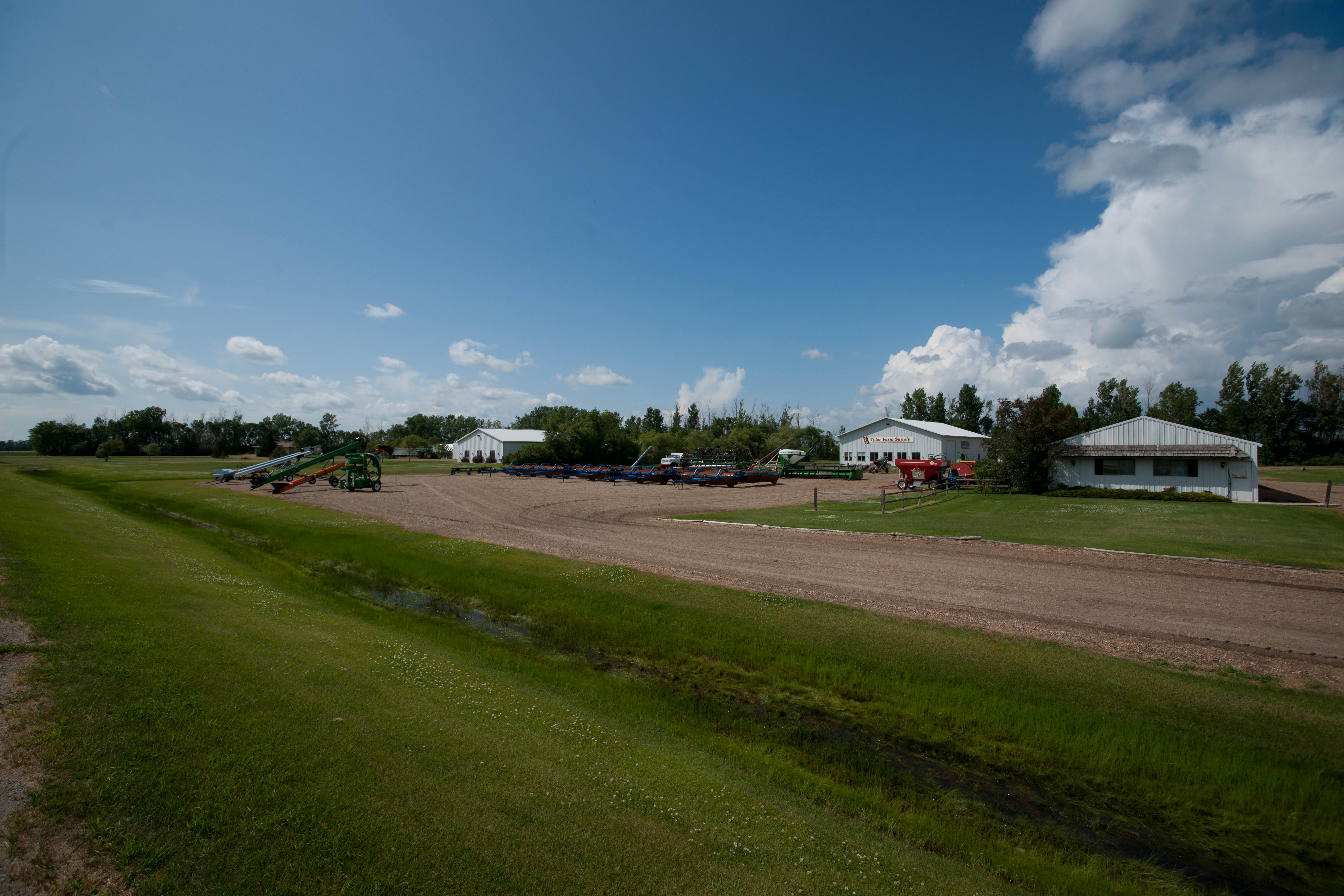
Golf cart shed
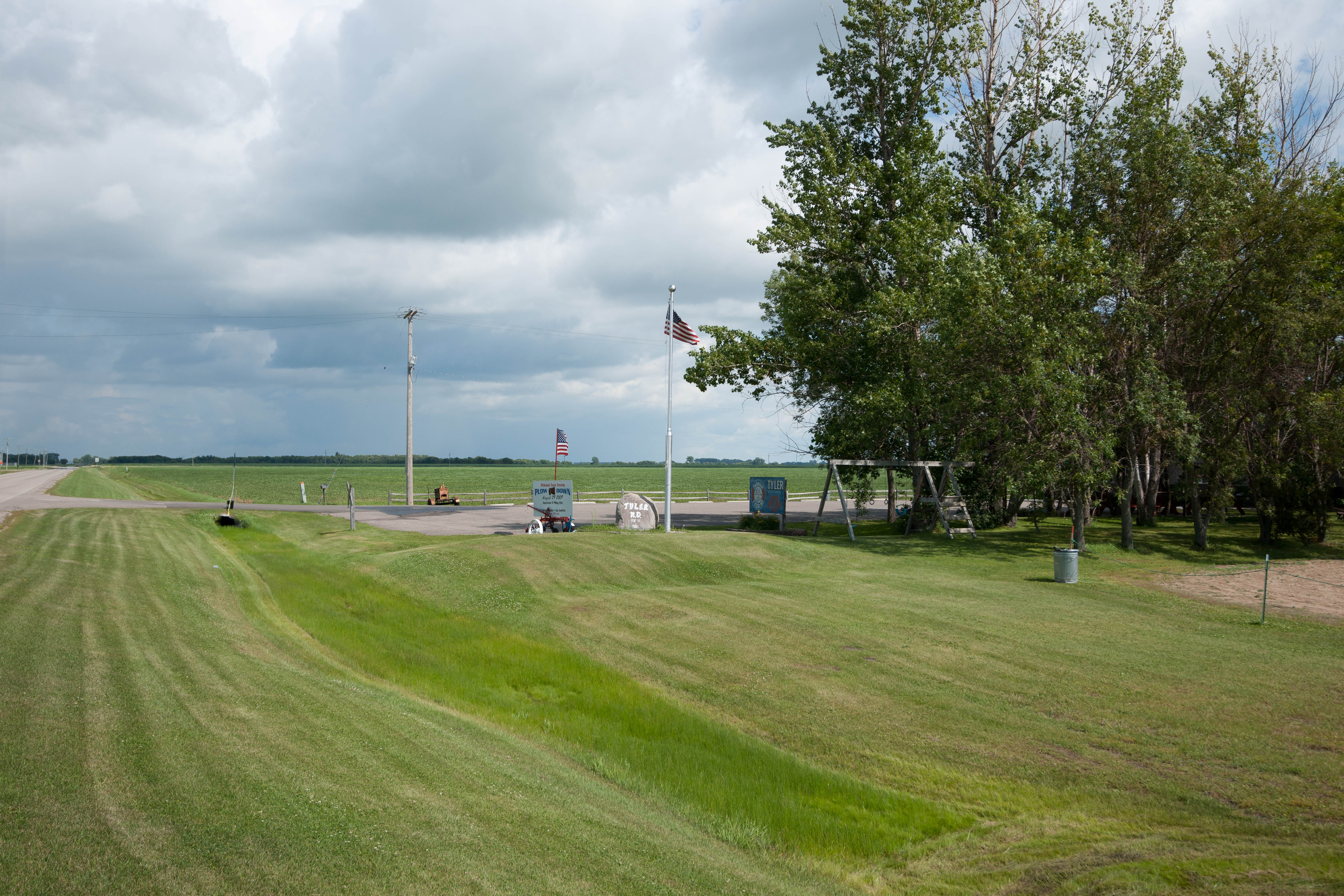
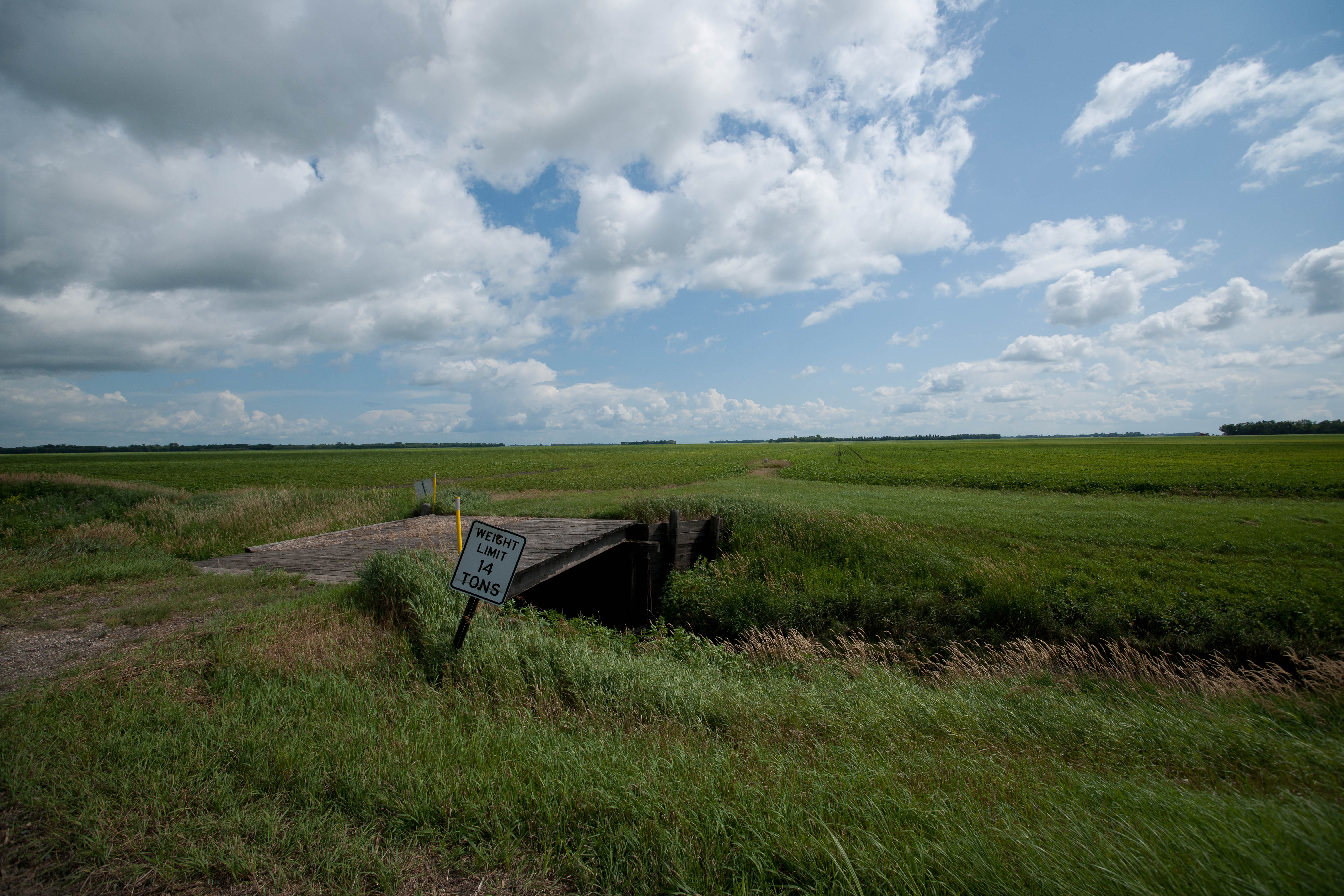
Tyler, North Dakota

.
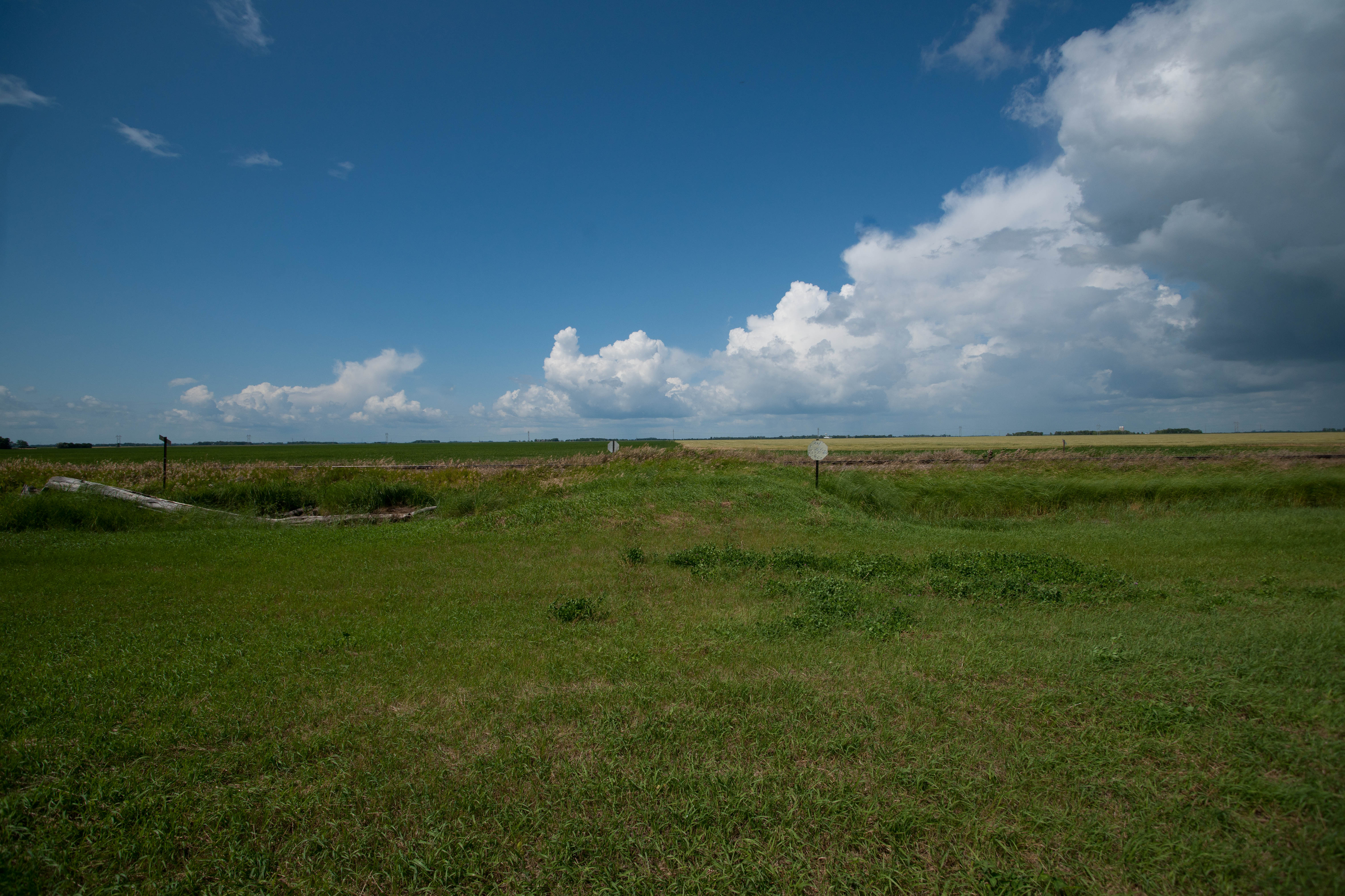
Dwight, North Dakota
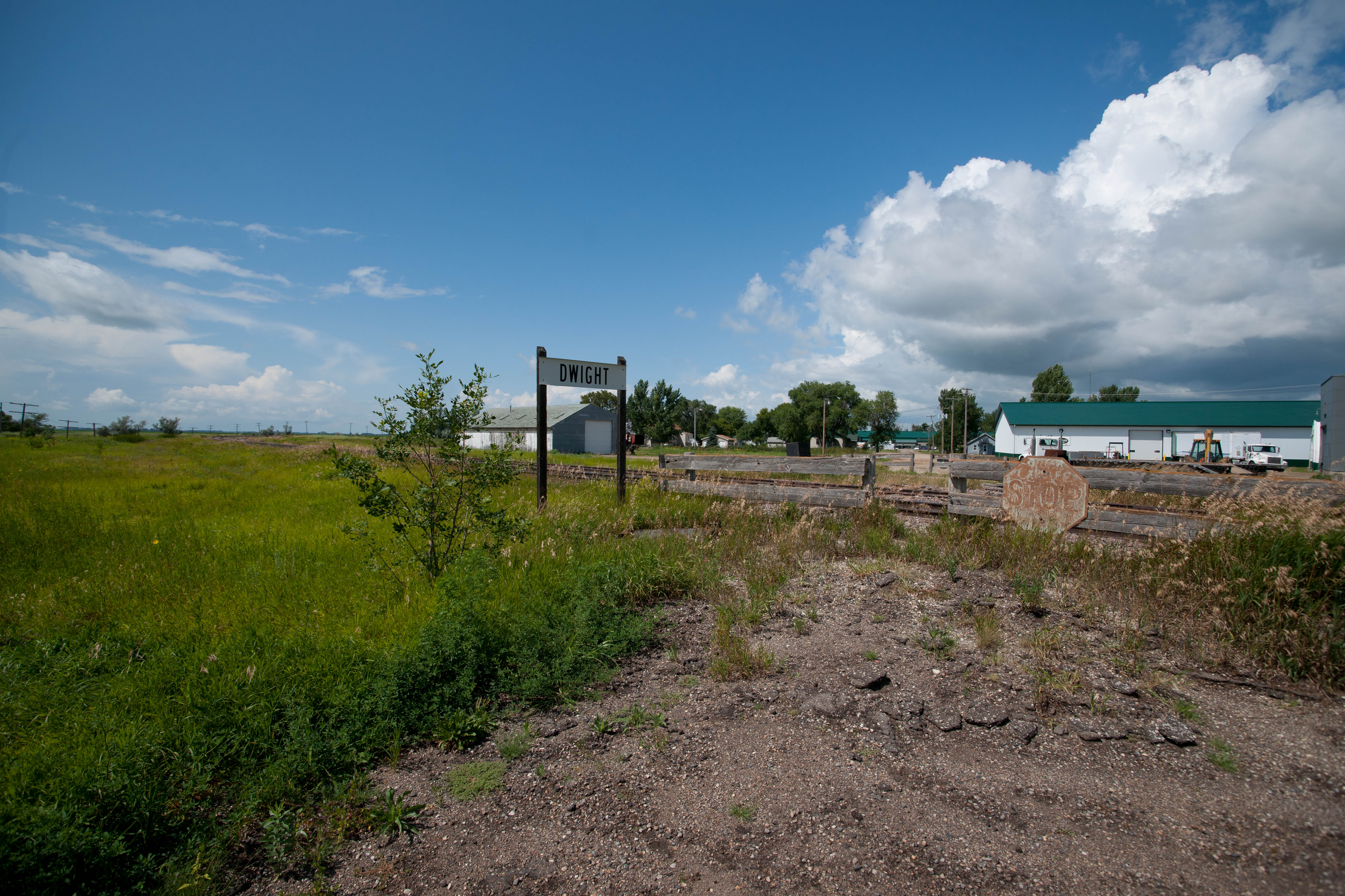
Dwight, North Dakota
Topographic Map of Wahpeton, ND, USA
Find elevation by address:

Places near Wahpeton, ND, USA:
517 7th St N
911 Richland St
Breckenridge
321 17th Ave N
th St, Breckenridge, MN, USA
17993 Co Rd 16
17993 Co Rd 16
17993 Co Rd 16
Summit
Fairmount, ND, USA
17230 Co Rd 16
Devillo
Brandenburg
Campbell
New York Ave, Campbell, MN, USA
Richland County
1st Ave, Nashua, MN, USA
Rosholt
Lien Township
Wheaton
Recent Searches:
- Elevation of Corso Fratelli Cairoli, 35, Macerata MC, Italy
- Elevation of Tallevast Rd, Sarasota, FL, USA
- Elevation of 4th St E, Sonoma, CA, USA
- Elevation of Black Hollow Rd, Pennsdale, PA, USA
- Elevation of Oakland Ave, Williamsport, PA, USA
- Elevation of Pedrógão Grande, Portugal
- Elevation of Klee Dr, Martinsburg, WV, USA
- Elevation of Via Roma, Pieranica CR, Italy
- Elevation of Tavkvetili Mountain, Georgia
- Elevation of Hartfords Bluff Cir, Mt Pleasant, SC, USA