Elevation of WA-20, Colville, WA, USA
Location: United States > Washington > Colville >
Longitude: -117.54709
Latitude: 48.6131405
Elevation: 968m / 3176feet
Barometric Pressure: 90KPa
Elevation Map:
Satellite Map:
Related Photos:
Trail view
Meadow view with Reg and Clay
Valley view
nature shots (40)
nature shots (41)
Original Spans (Vintage Edition)
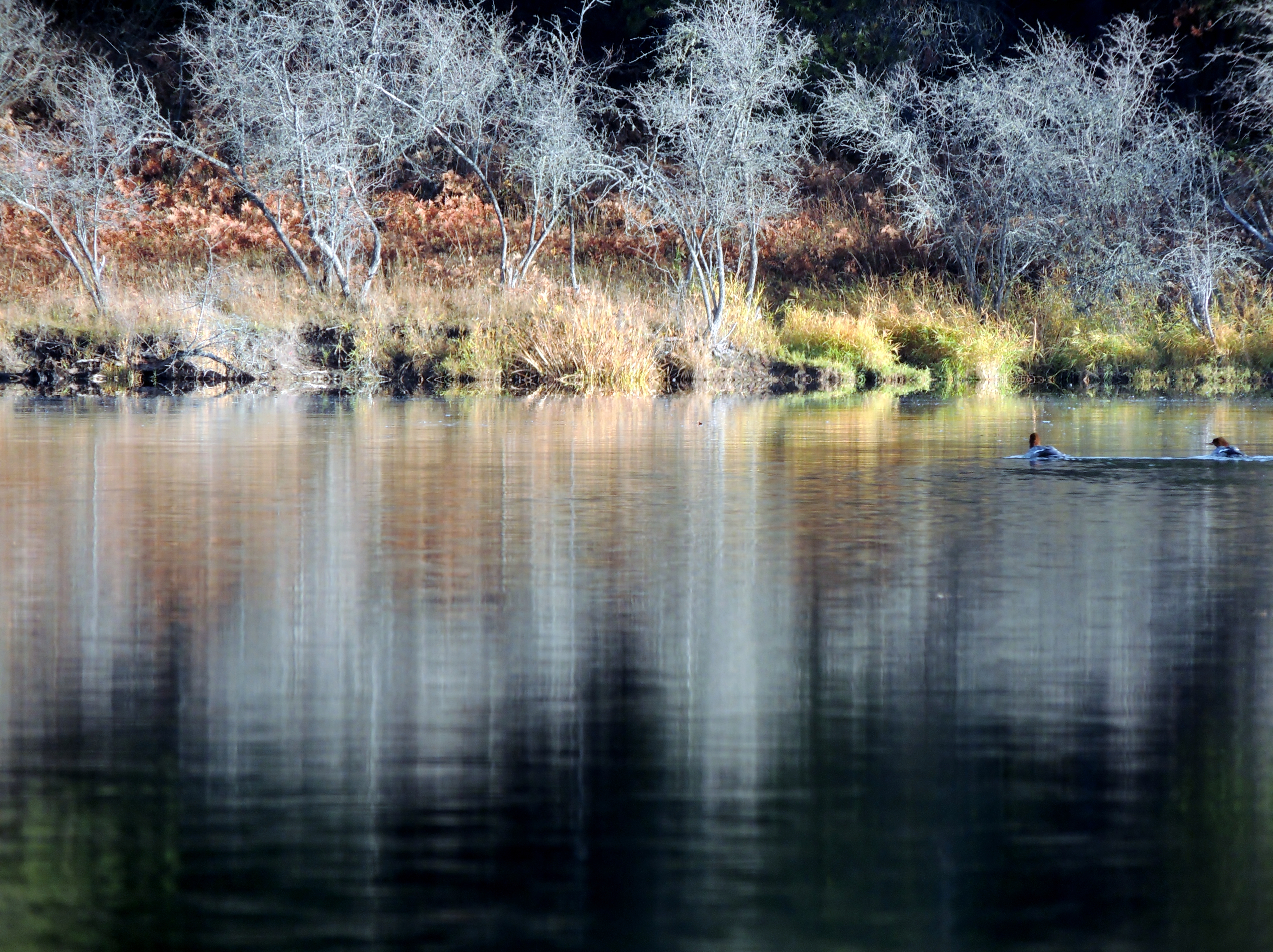
Common Mergansers. Pend Oreille River (12)
nature shots (27)
Mike gets Matt 3
Mike gets Matt 2
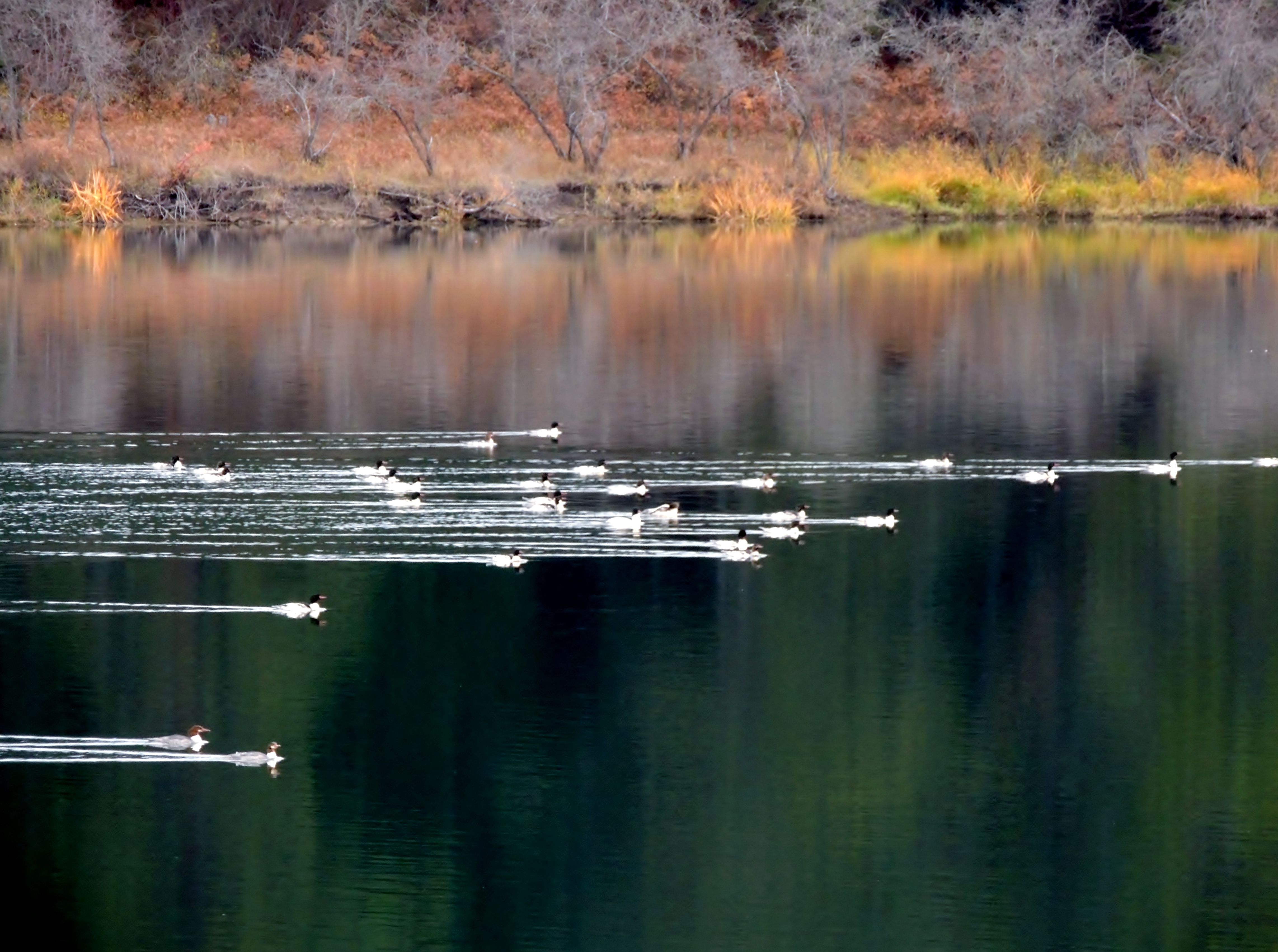
Common Mergansers. Pend Oreille River (6)
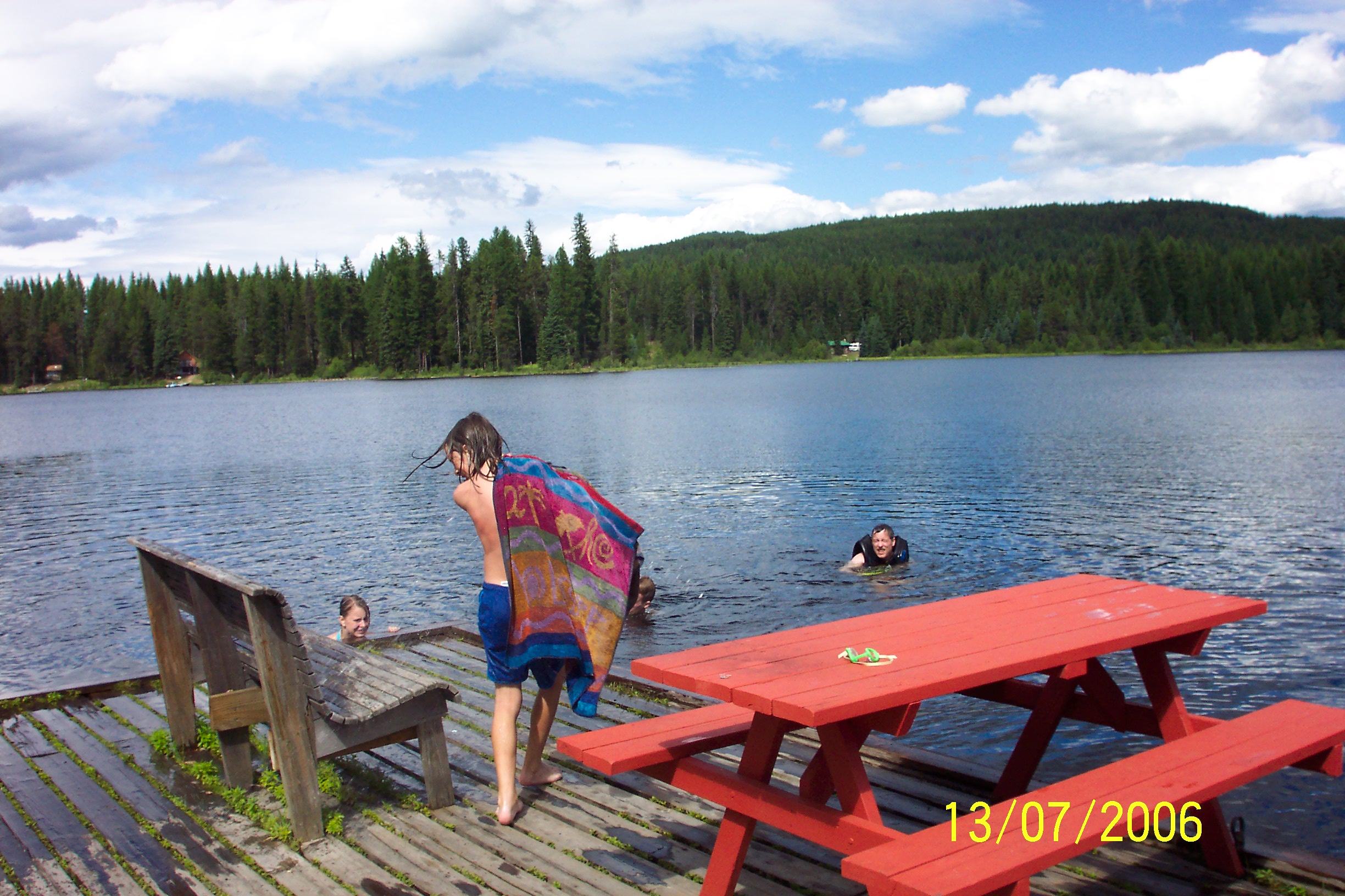
Mike gets Matt 1
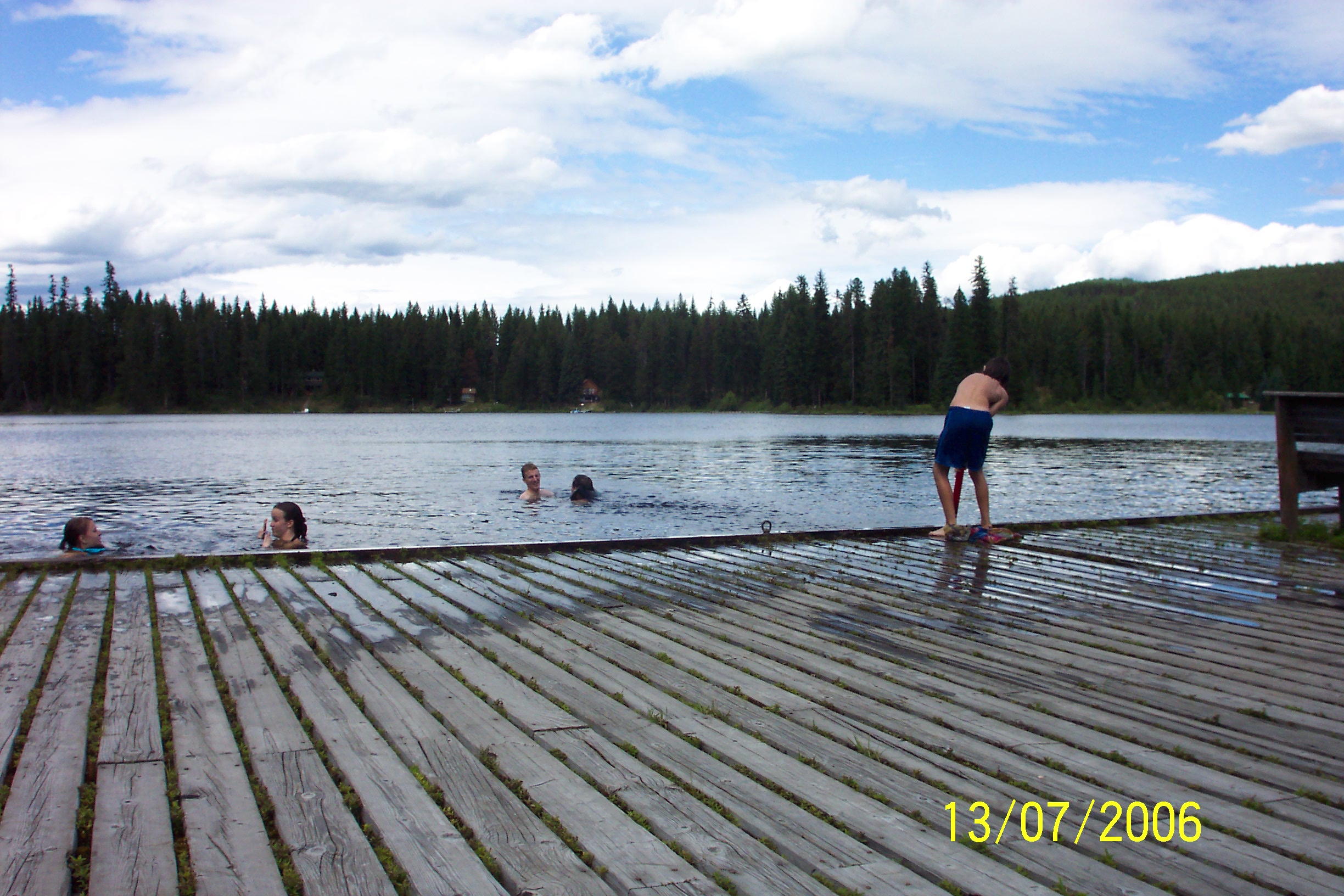
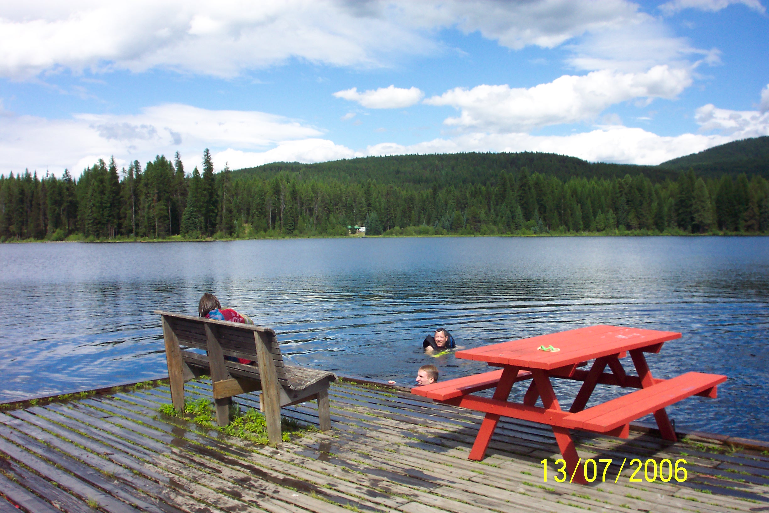
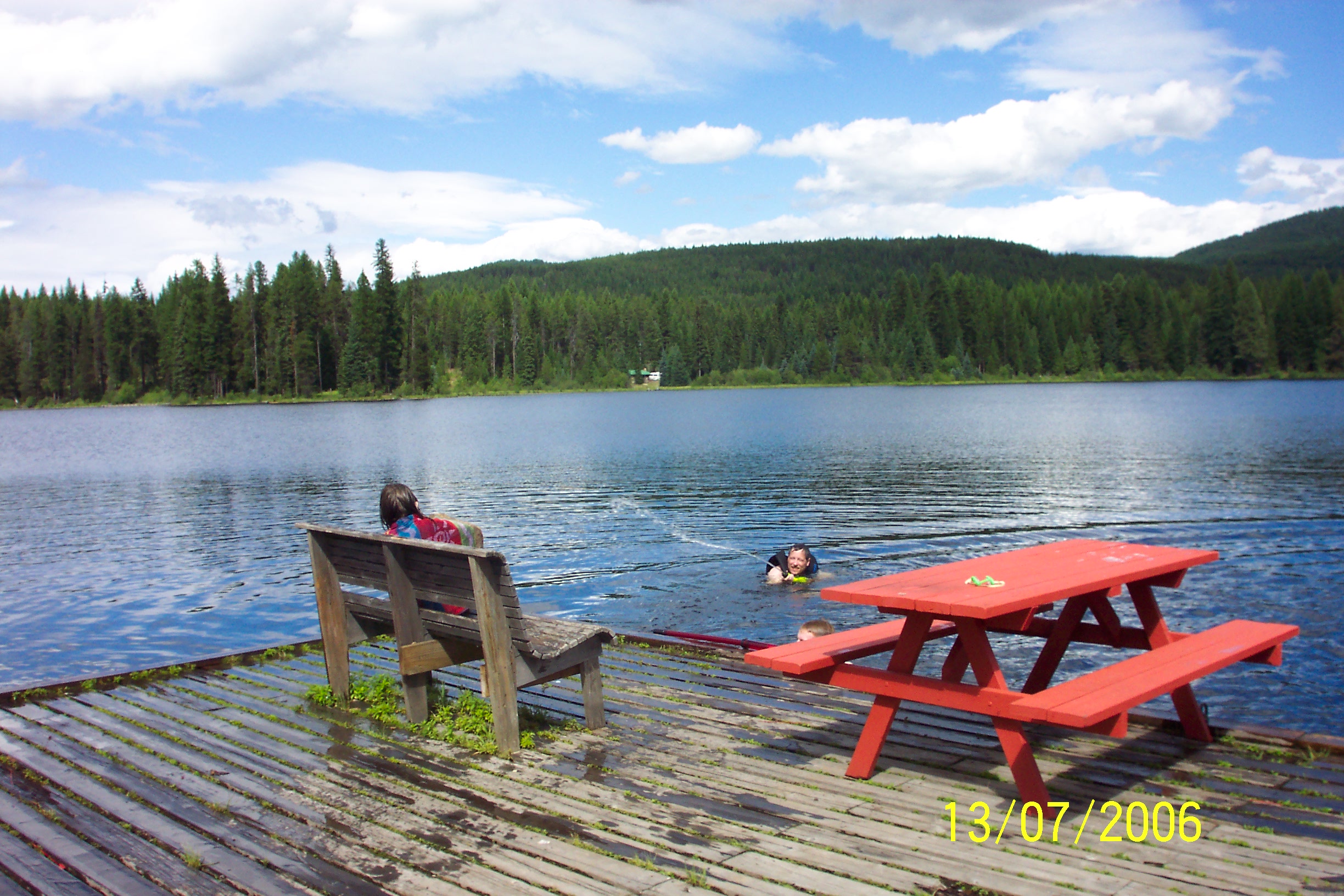
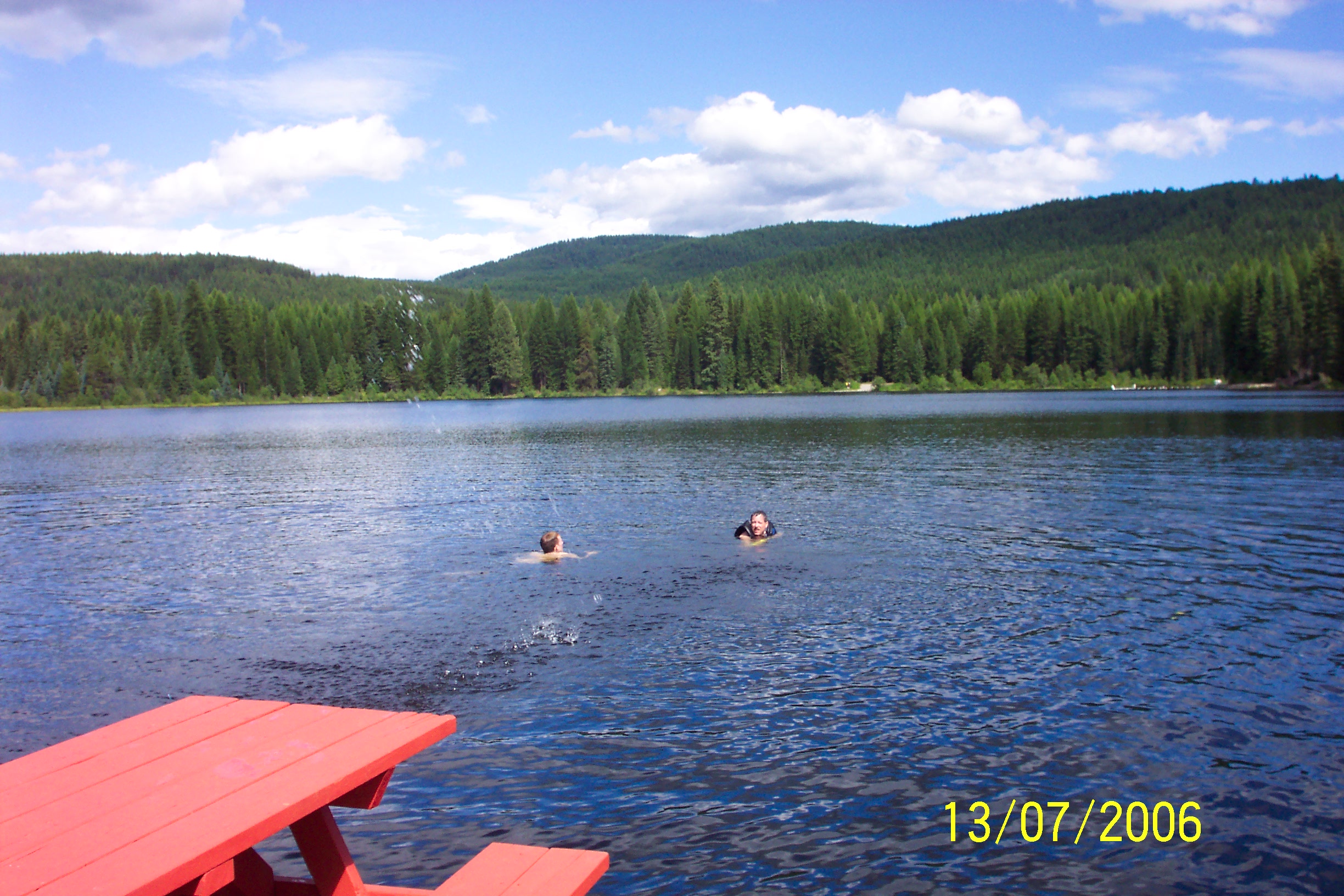
The Great Water Fight on the lake 9
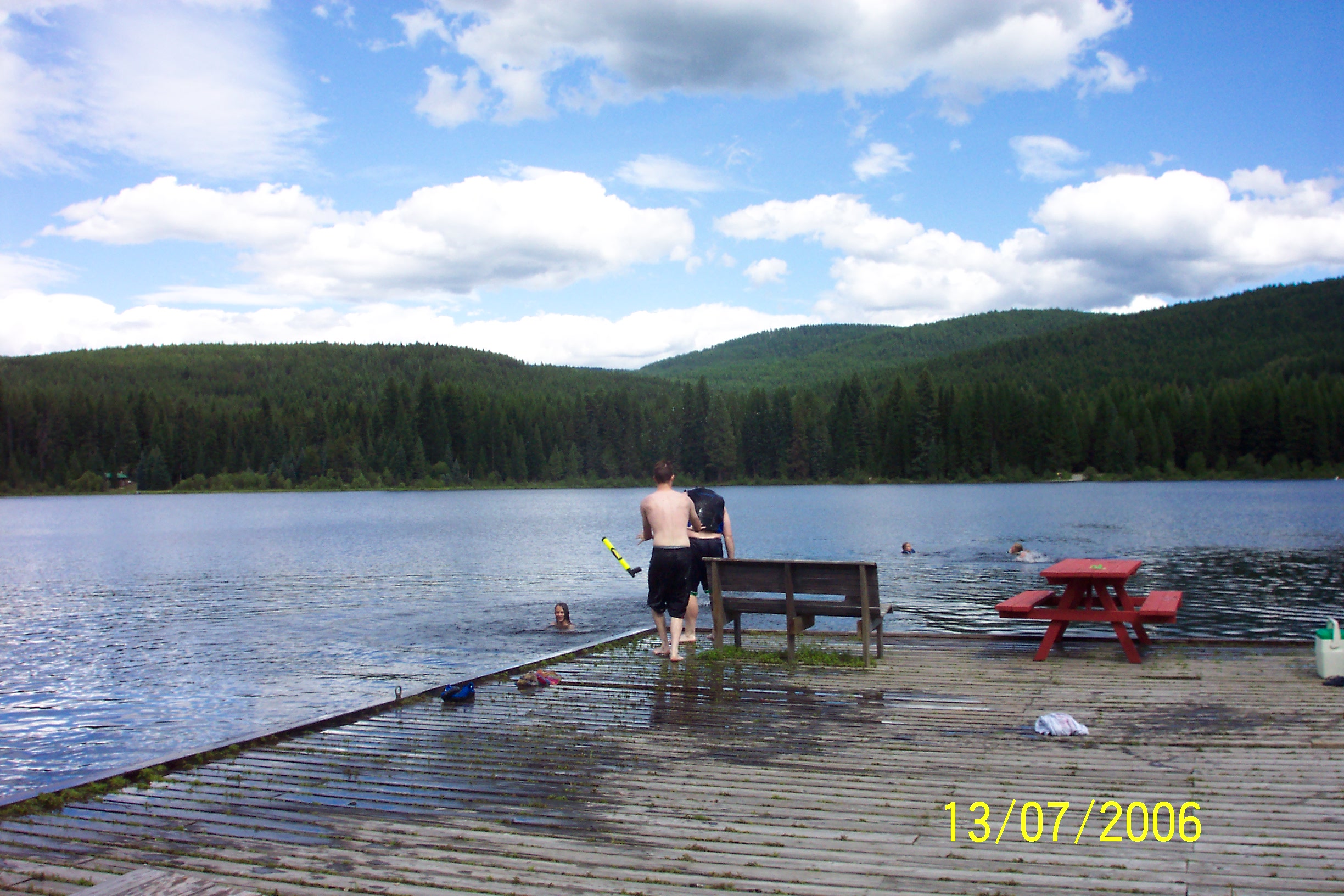
The Great Water Fight on the lake 15
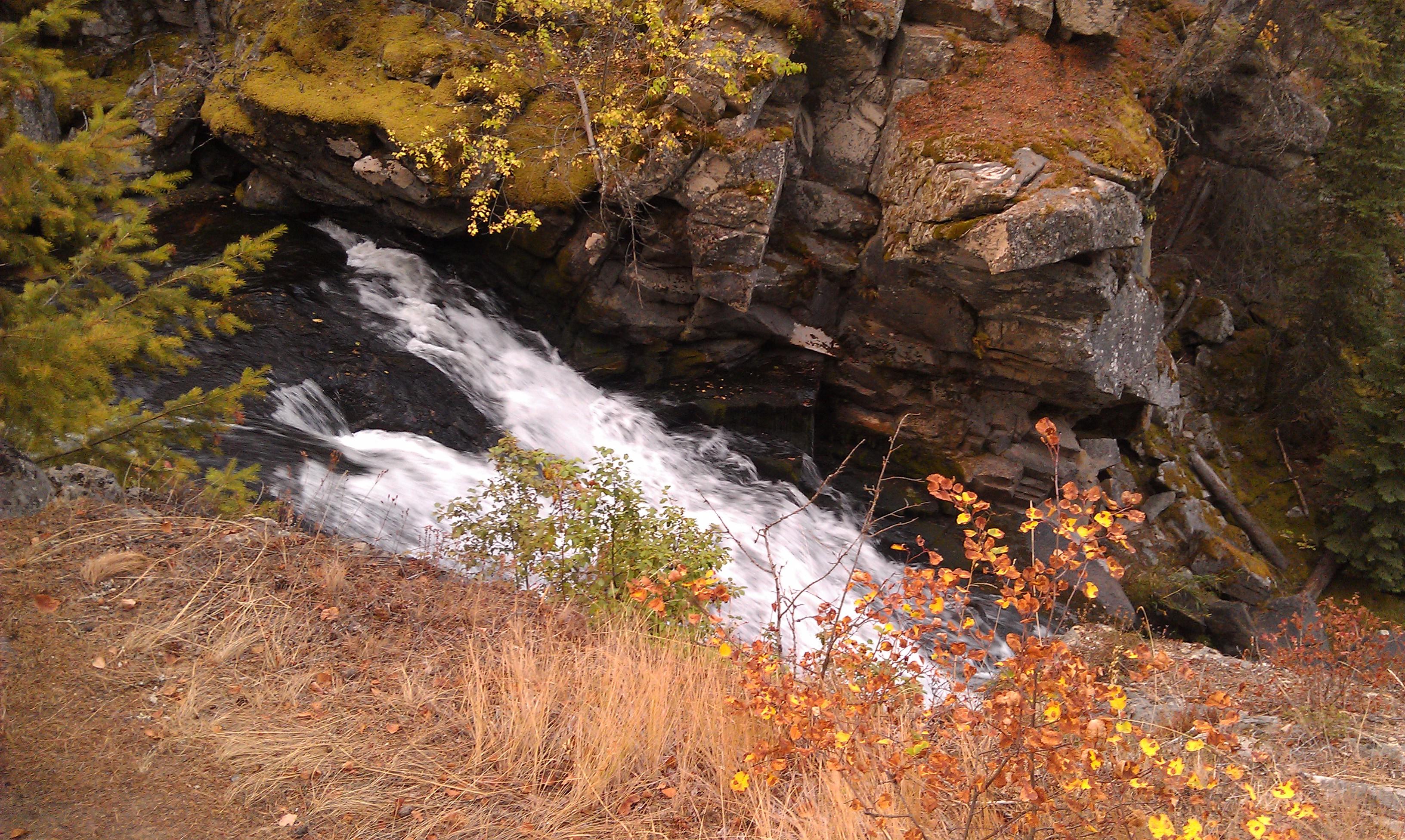
Crystal Falls- Stevens County WA (7)

by Crystal Falls

The Great Water Fight on the lake 1
David & Mike

The Great Water Fight on the lake 25
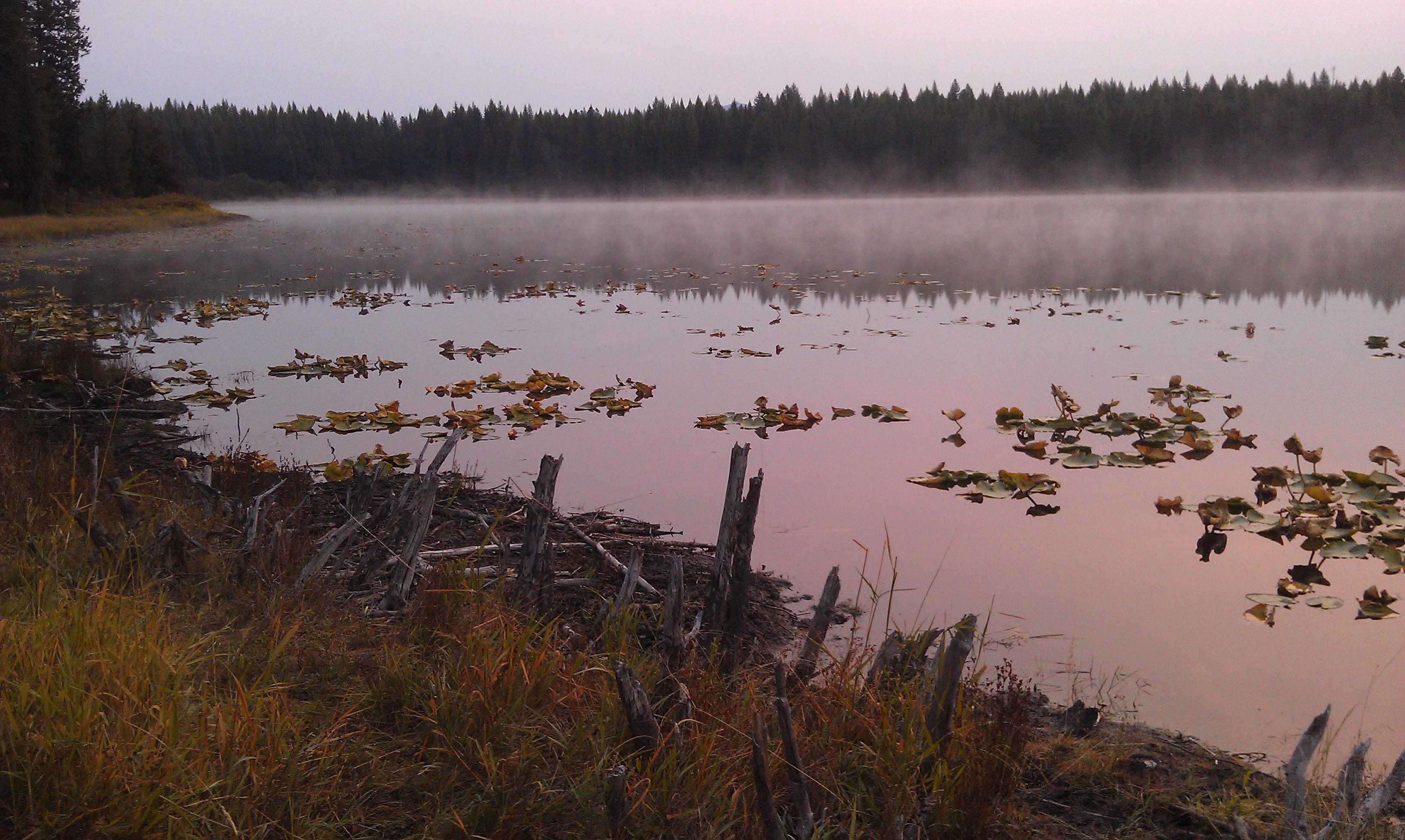
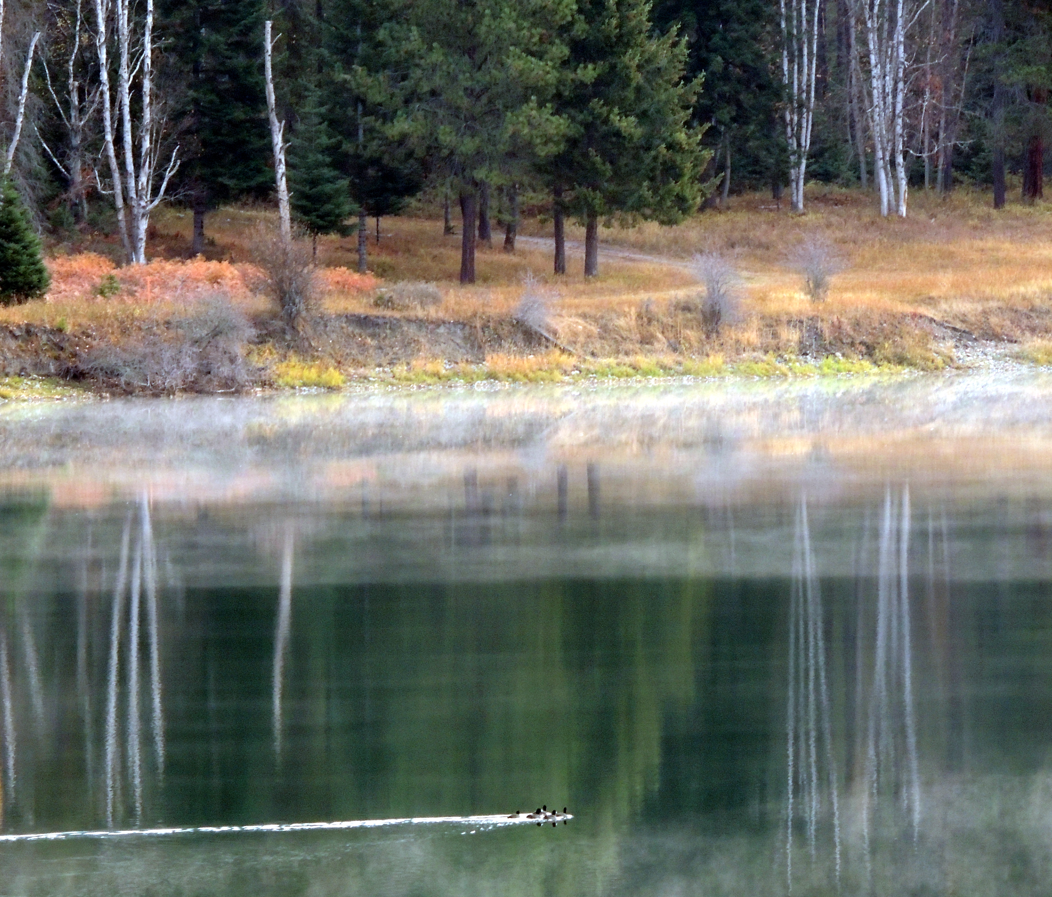
Lake Leo- Colville National Forest- Pend Oreille County WA (1)
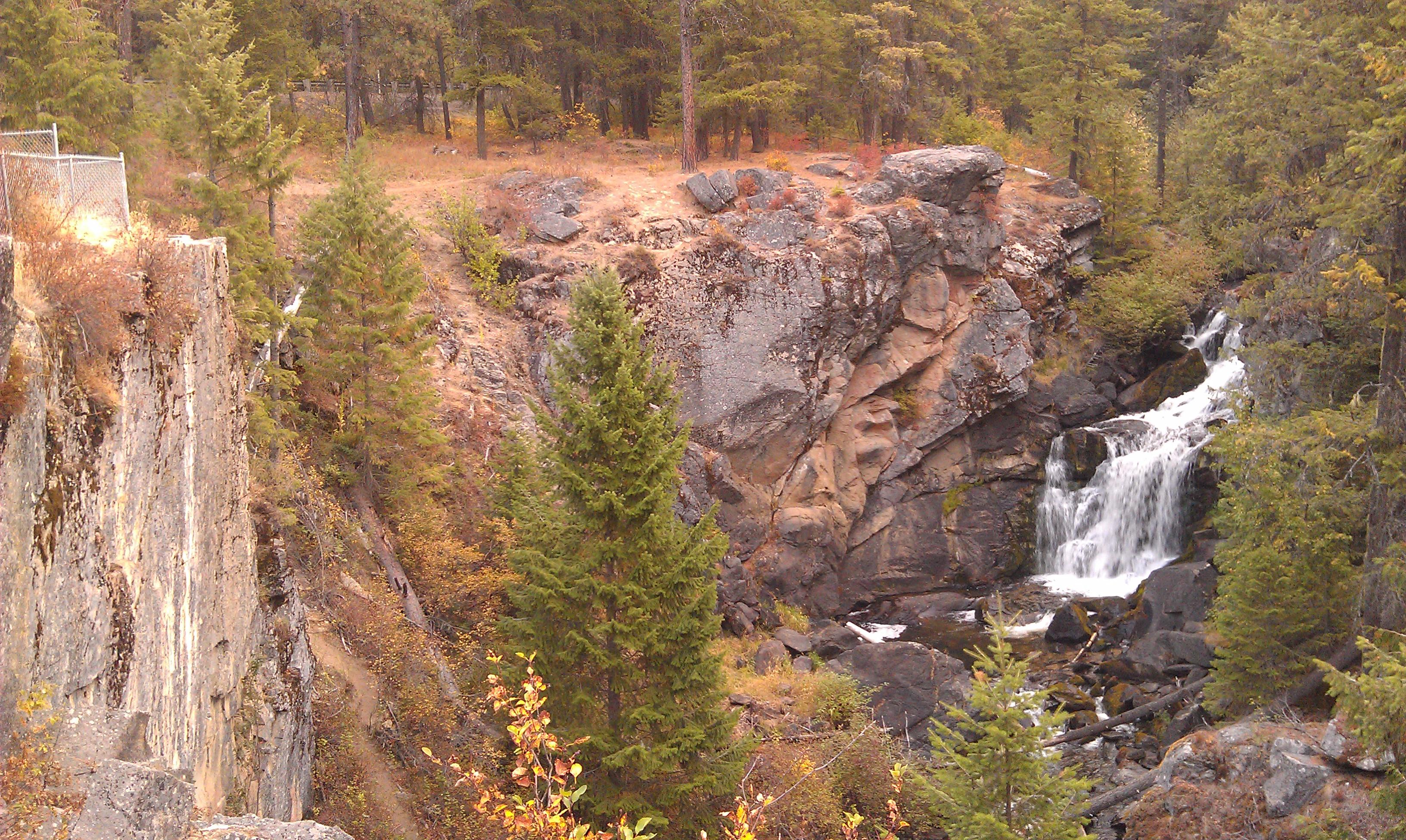
Crystal Falls- Stevens County WA (4)
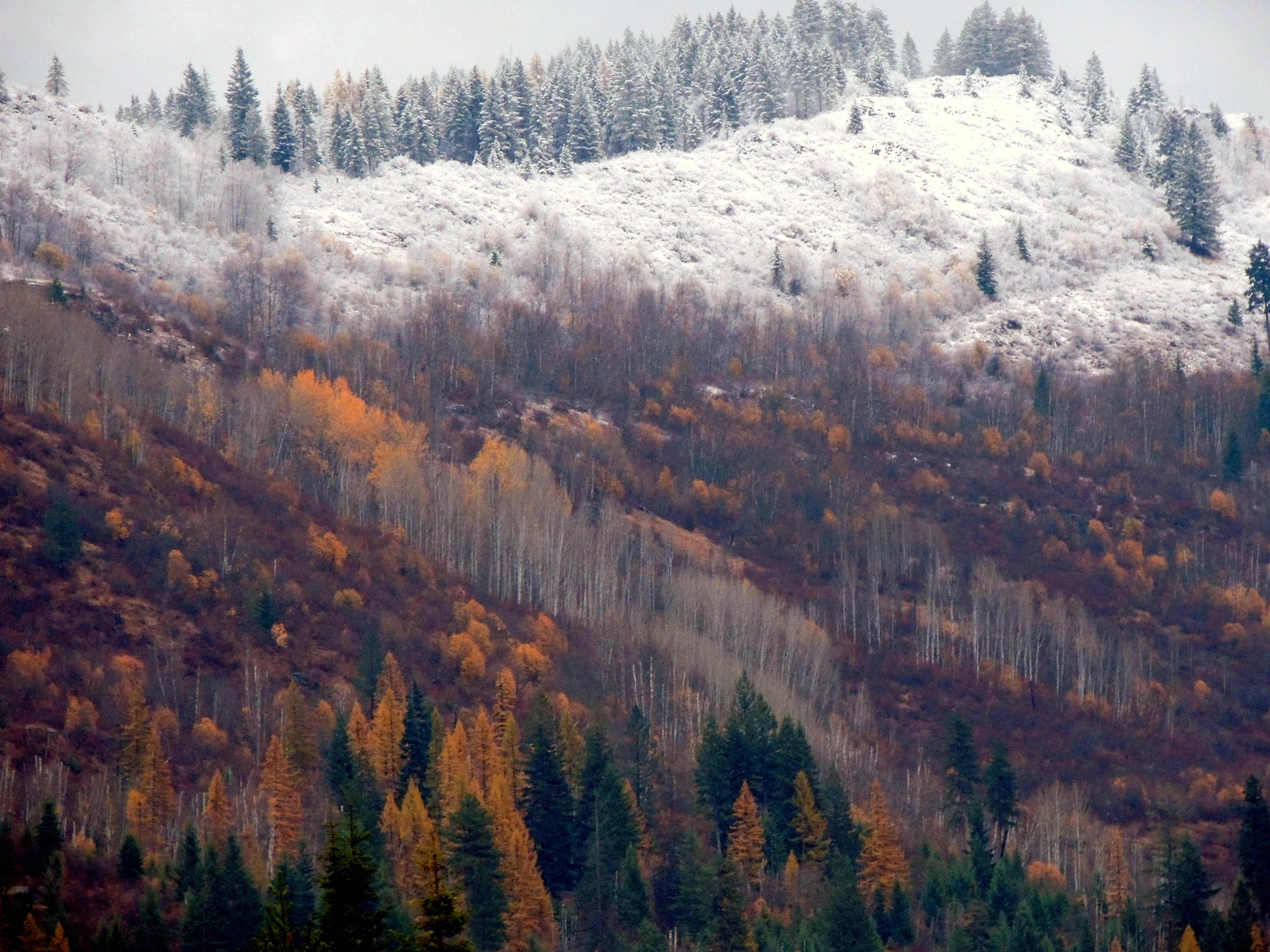
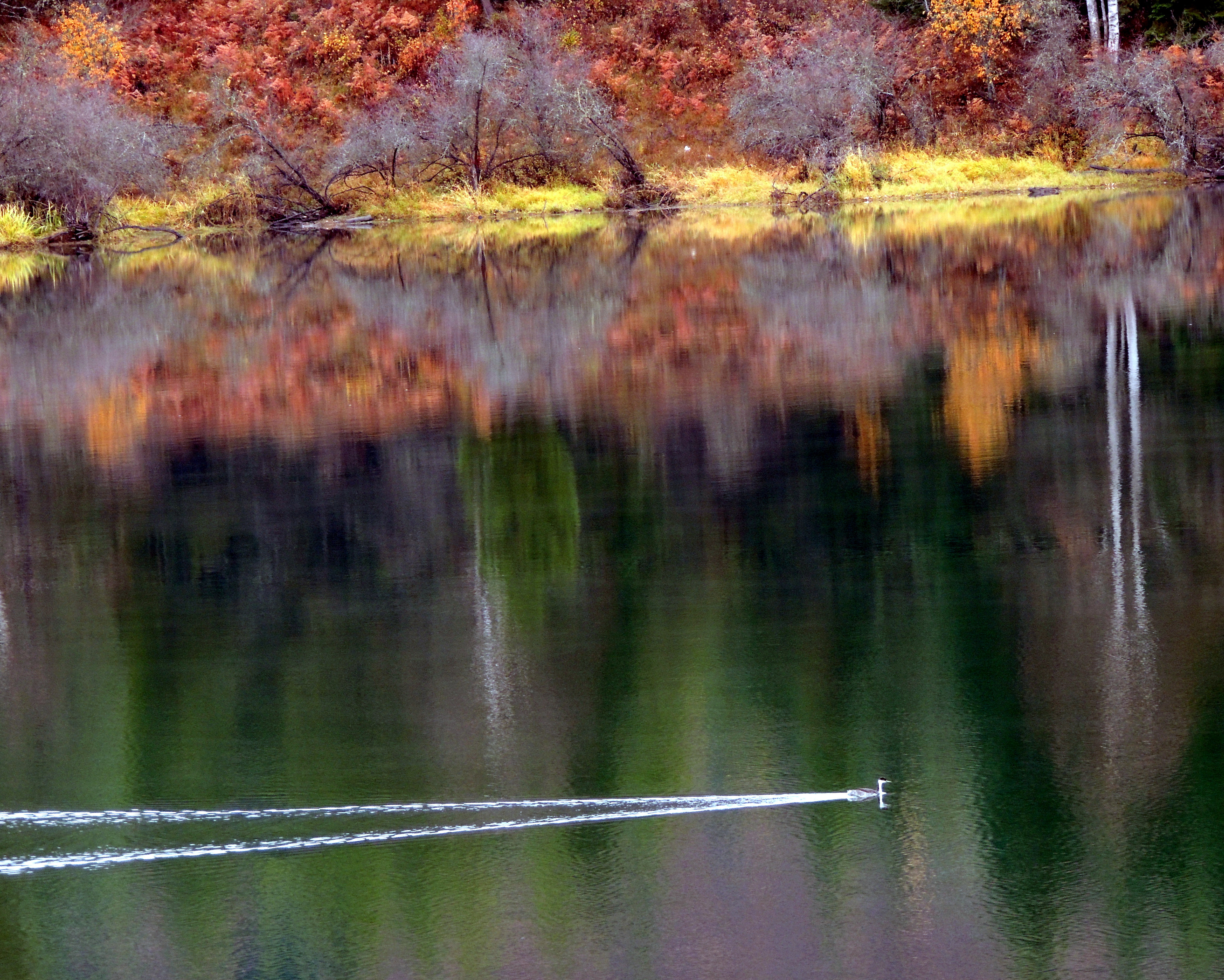
Autumn in Pend Oreille County

The Great Water Fight on the lake 16
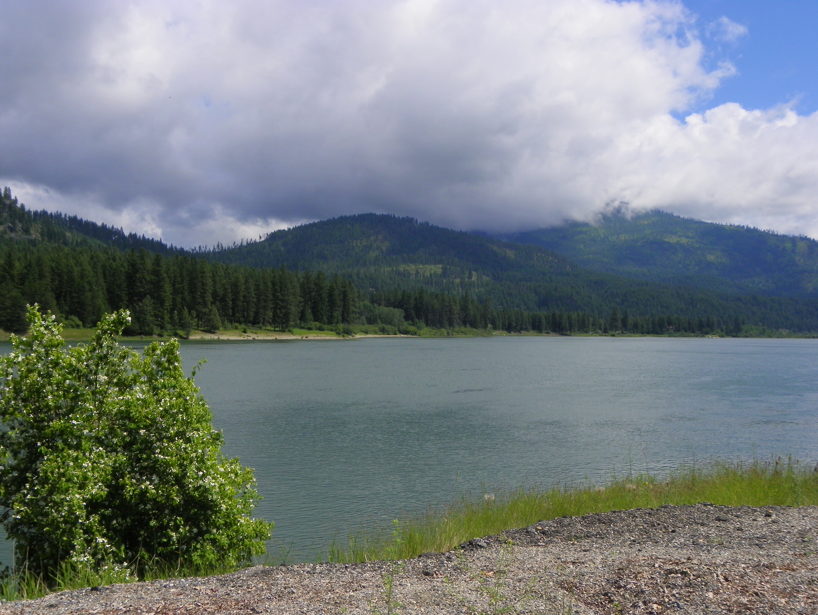
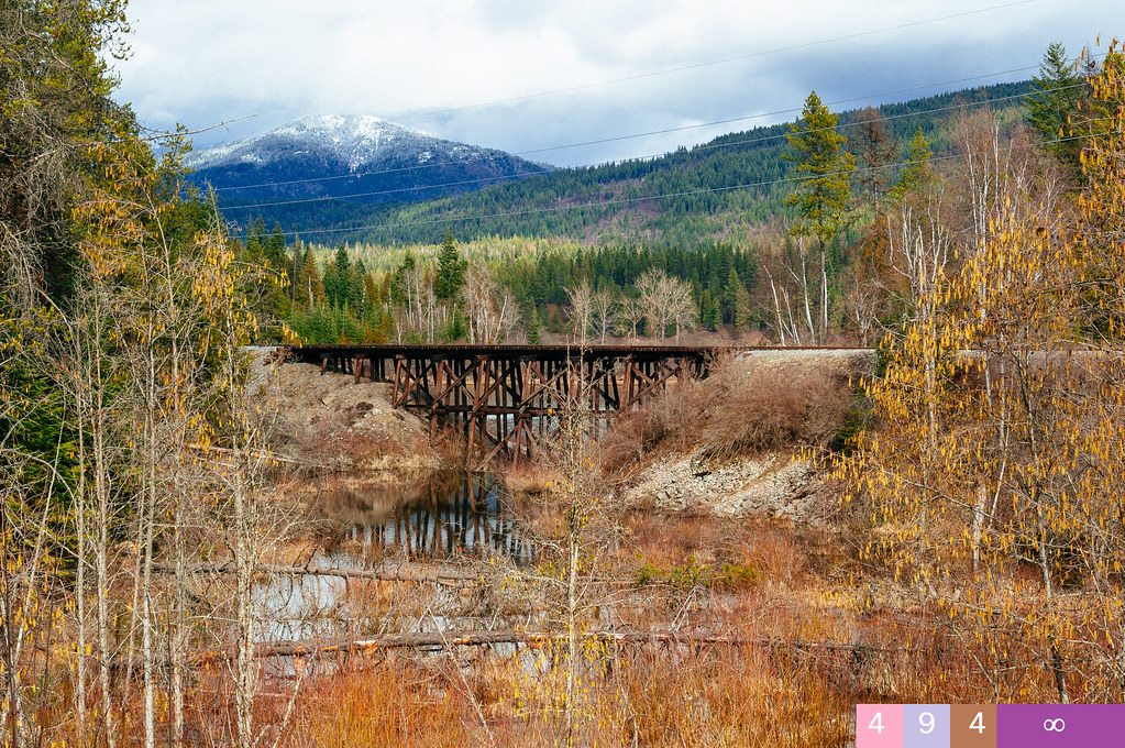
Pend Oreille River
Topographic Map of WA-20, Colville, WA, USA
Find elevation by address:

Places near WA-20, Colville, WA, USA:
Lake Sherry Homes Drive
Nat for Dev Rd, Ione, WA, USA
Northstar Road
Cedar Creek Road
Ione
2268 Aladdin Rd
WA-20, Cusick, WA, USA
957 Kitt-narcisse Rd
222 N Shadow Dr
Pend Oreille County
1781 Tacoma Creek Rd
Metaline Falls
Nelson Creek
2763 Highline Rd
Abercrombie Mountain
Highline Rd, Chewelah, WA, USA
Aladdin Rd, Colville, WA, USA
786 Arden Butte Rd
Red Top Mountain
Hooknose Mountain
Recent Searches:
- Elevation of Corso Fratelli Cairoli, 35, Macerata MC, Italy
- Elevation of Tallevast Rd, Sarasota, FL, USA
- Elevation of 4th St E, Sonoma, CA, USA
- Elevation of Black Hollow Rd, Pennsdale, PA, USA
- Elevation of Oakland Ave, Williamsport, PA, USA
- Elevation of Pedrógão Grande, Portugal
- Elevation of Klee Dr, Martinsburg, WV, USA
- Elevation of Via Roma, Pieranica CR, Italy
- Elevation of Tavkvetili Mountain, Georgia
- Elevation of Hartfords Bluff Cir, Mt Pleasant, SC, USA