Elevation of Ione, WA, USA
Location: United States > Washington > Pend Oreille County >
Longitude: -117.41718
Latitude: 48.7410261
Elevation: 637m / 2090feet
Barometric Pressure: 94KPa
Elevation Map:
Satellite Map:
Related Photos:
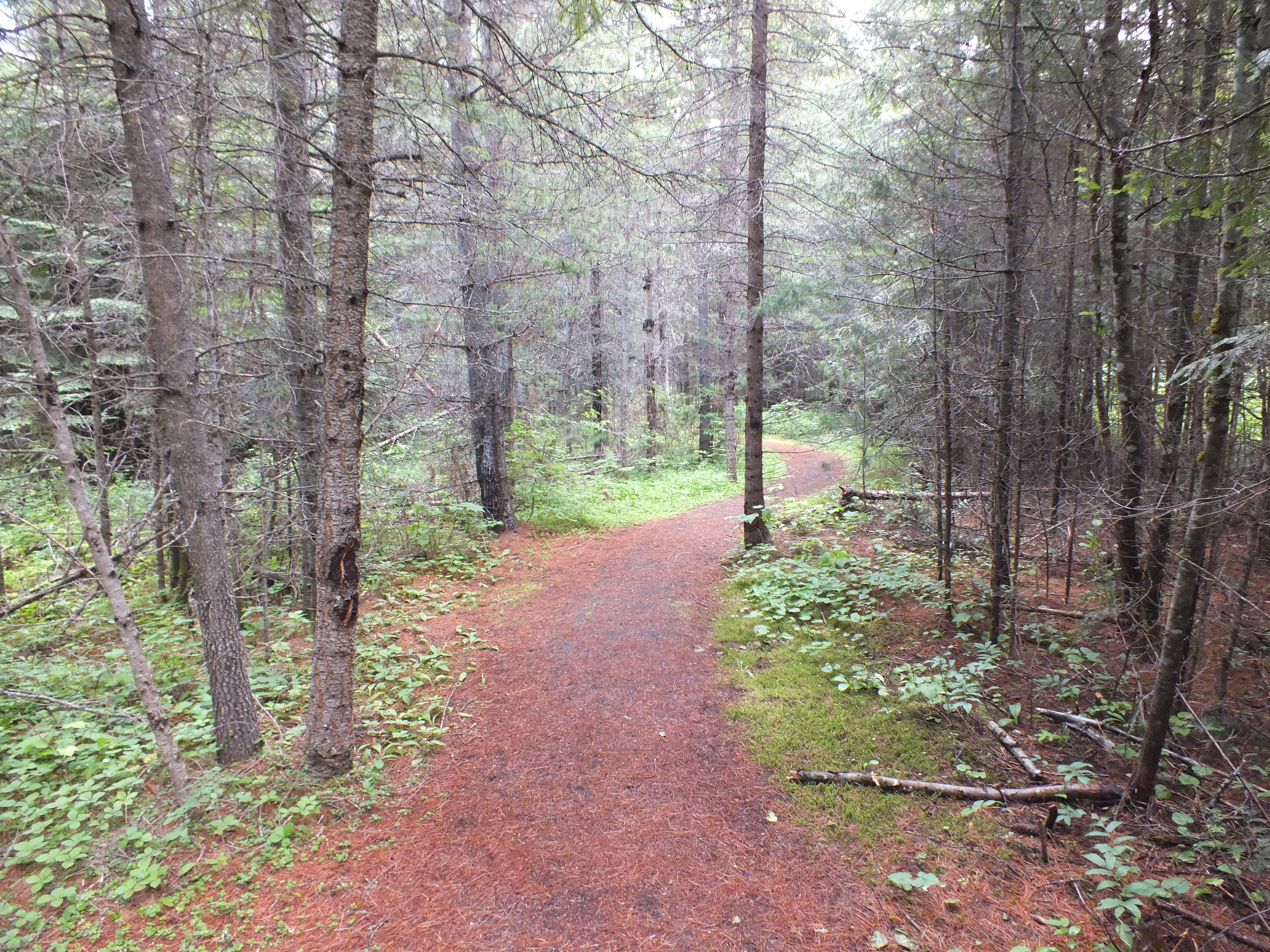
Trail view

Box Canyon Dam in ICE
View inside the train

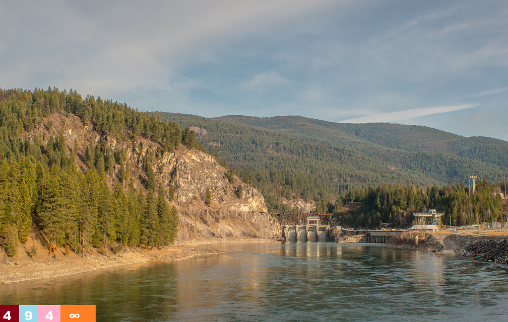
Box Canyon Dam
BOX CANYON BRIDGE, IONE, WA 8-8-15
BOX CANYON DAM, IONE, WA 8-7-15
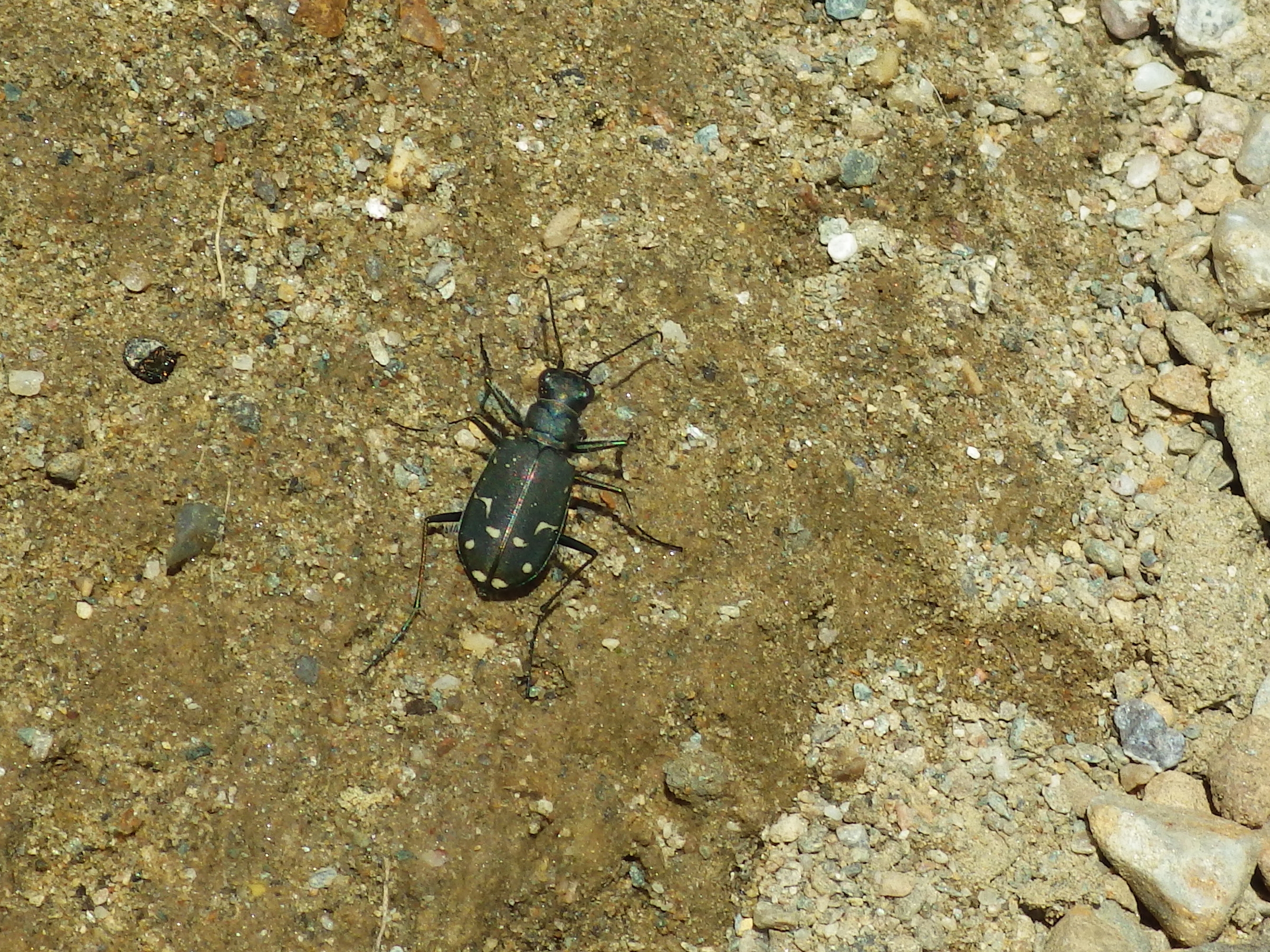
Tiger beetle
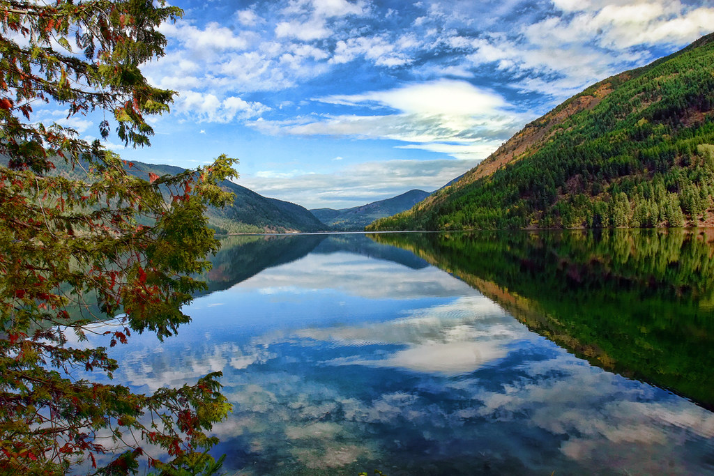
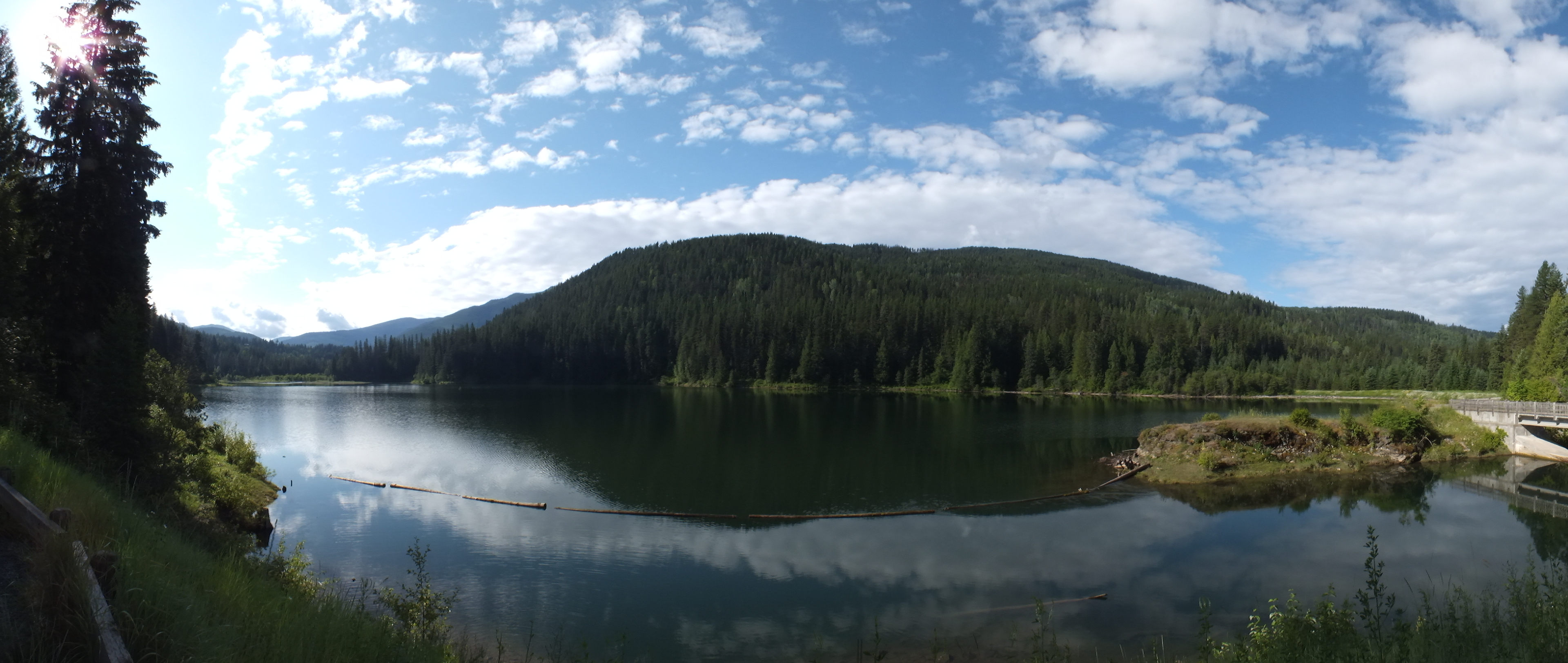
Sullivan Lake
nature shots (40)
nature shots (41)
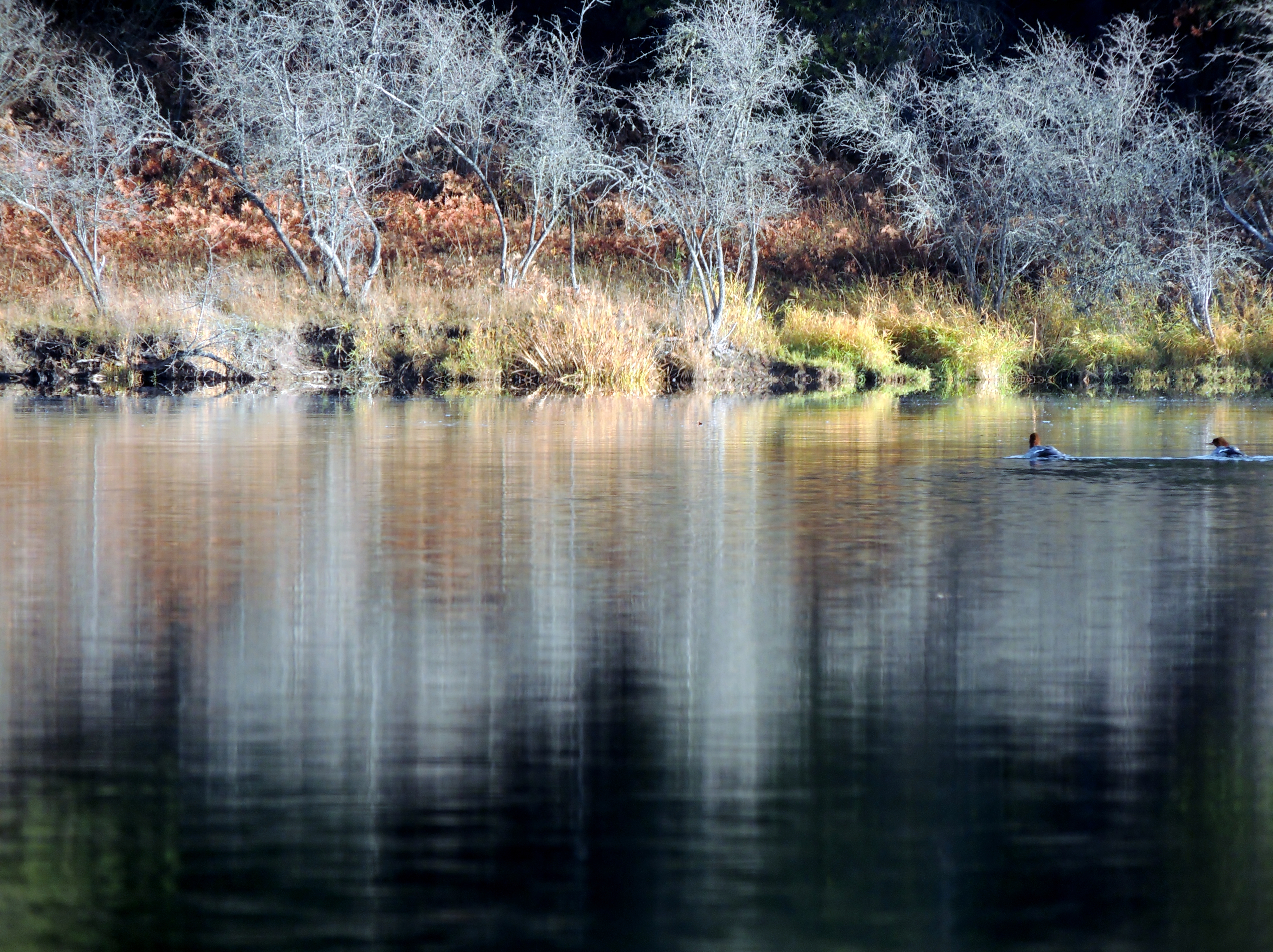
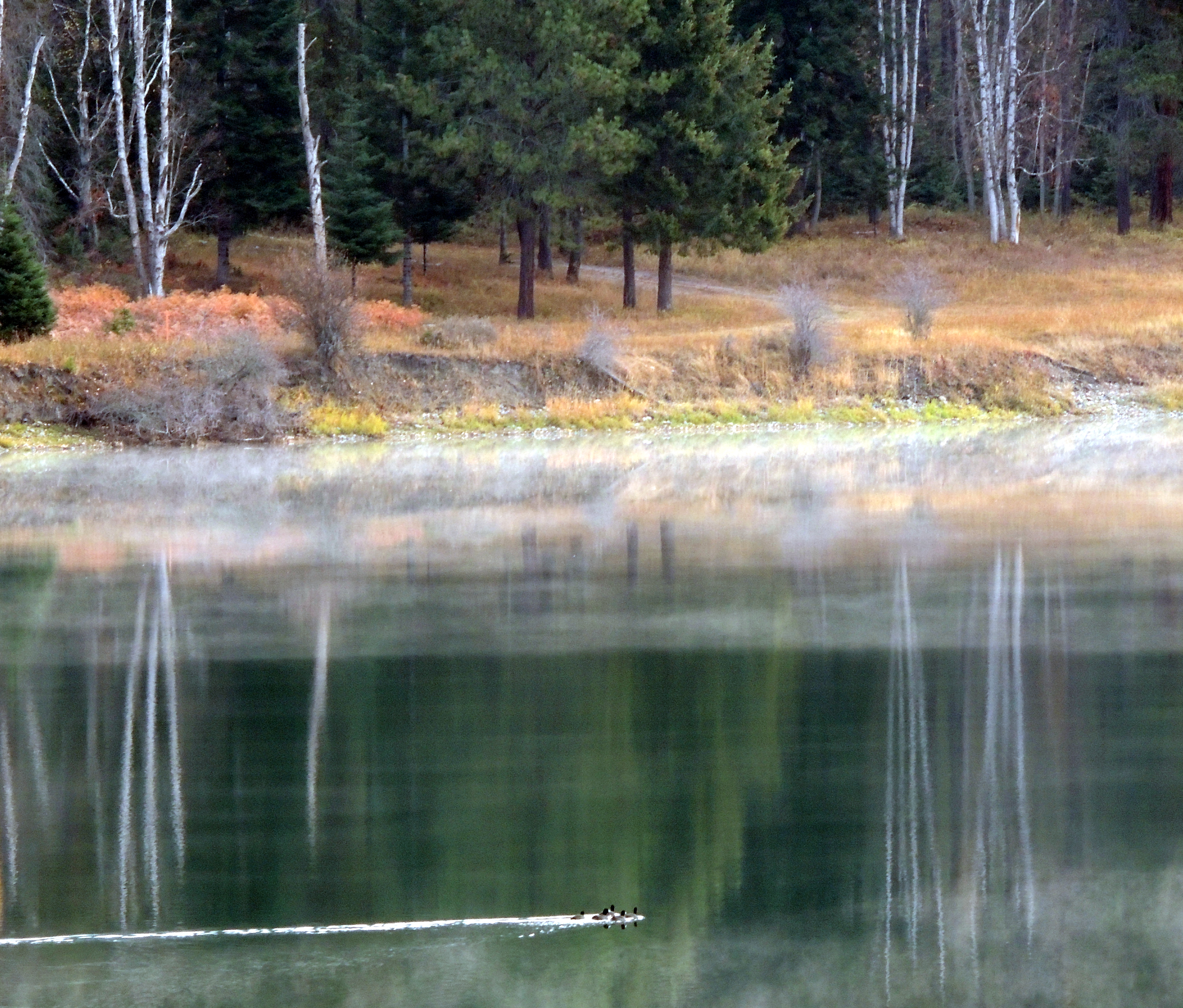
Common Mergansers. Pend Oreille River (12)
nature shots (27)
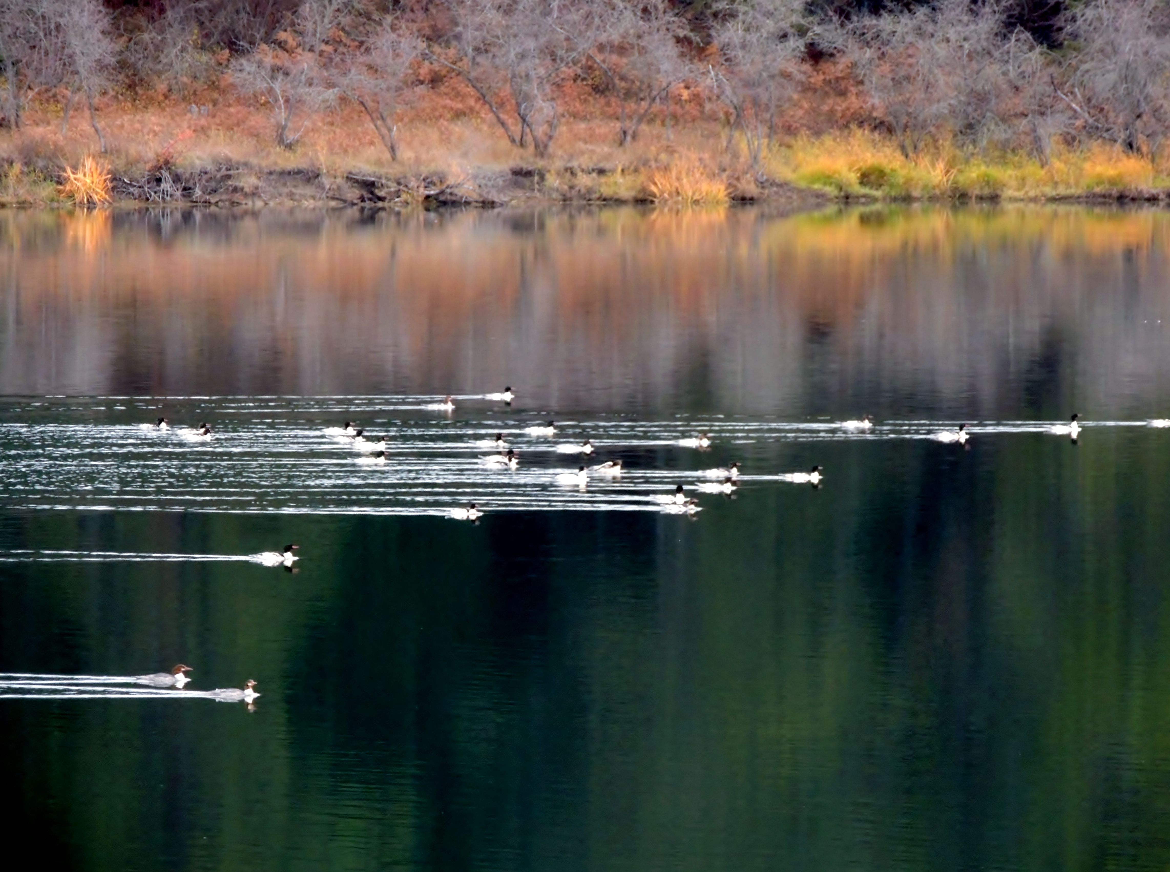
Common Mergansers. Pend Oreille River (6)
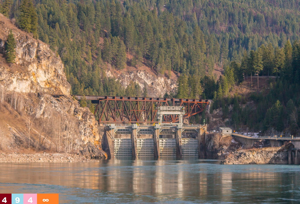
Quite the Dam (Part 4): Box Canyon Dam
Quite the Dam (Part 3): Box Canyon Dam
Selkirk Dave 051
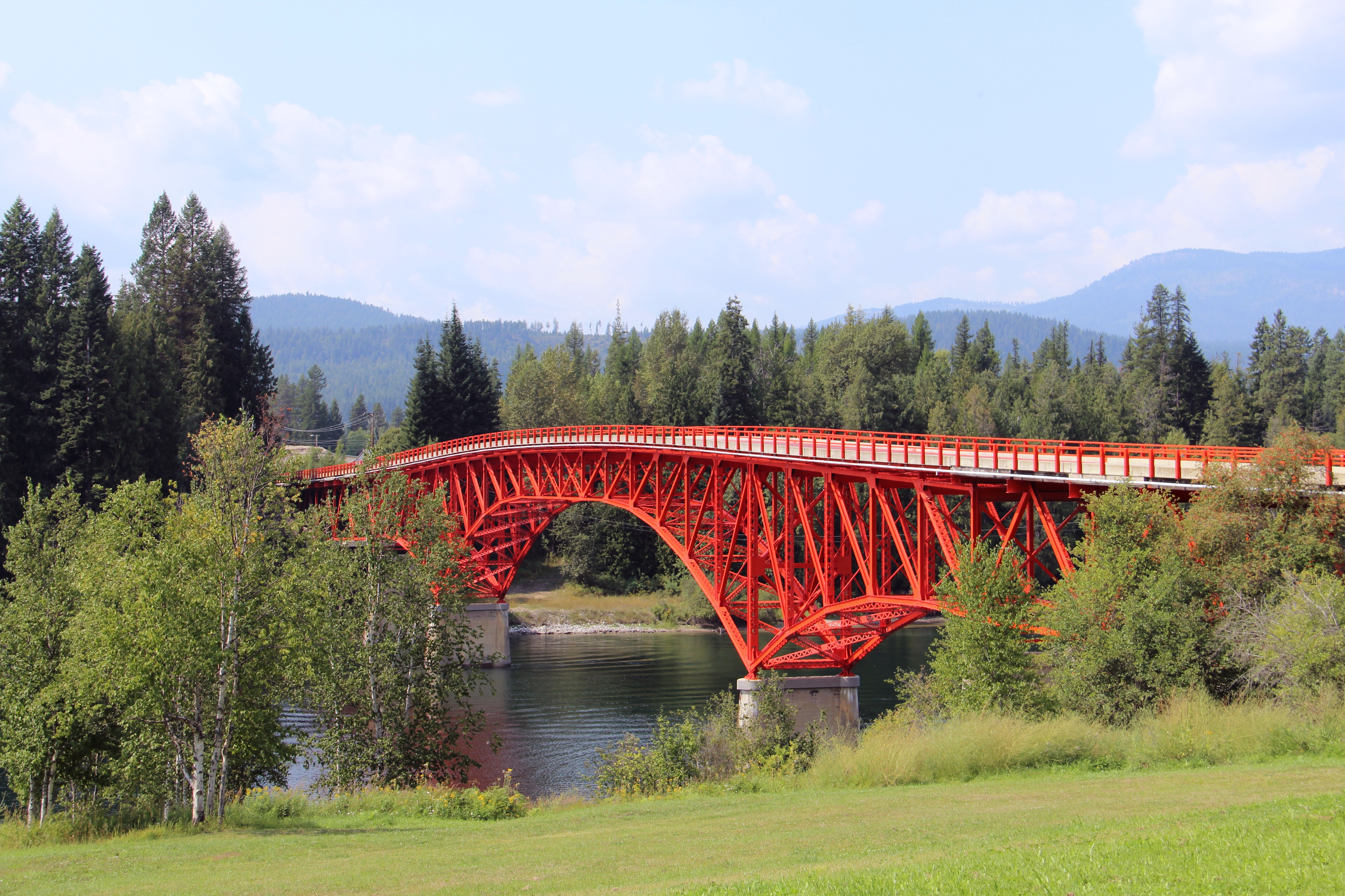
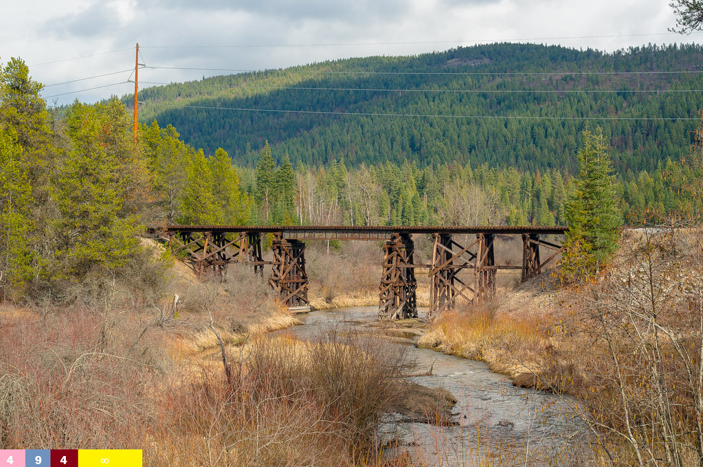
Ione Bridge (Pend Oreille County, Washington)
Quite the Dam (Part 8): Box Canyon Dam
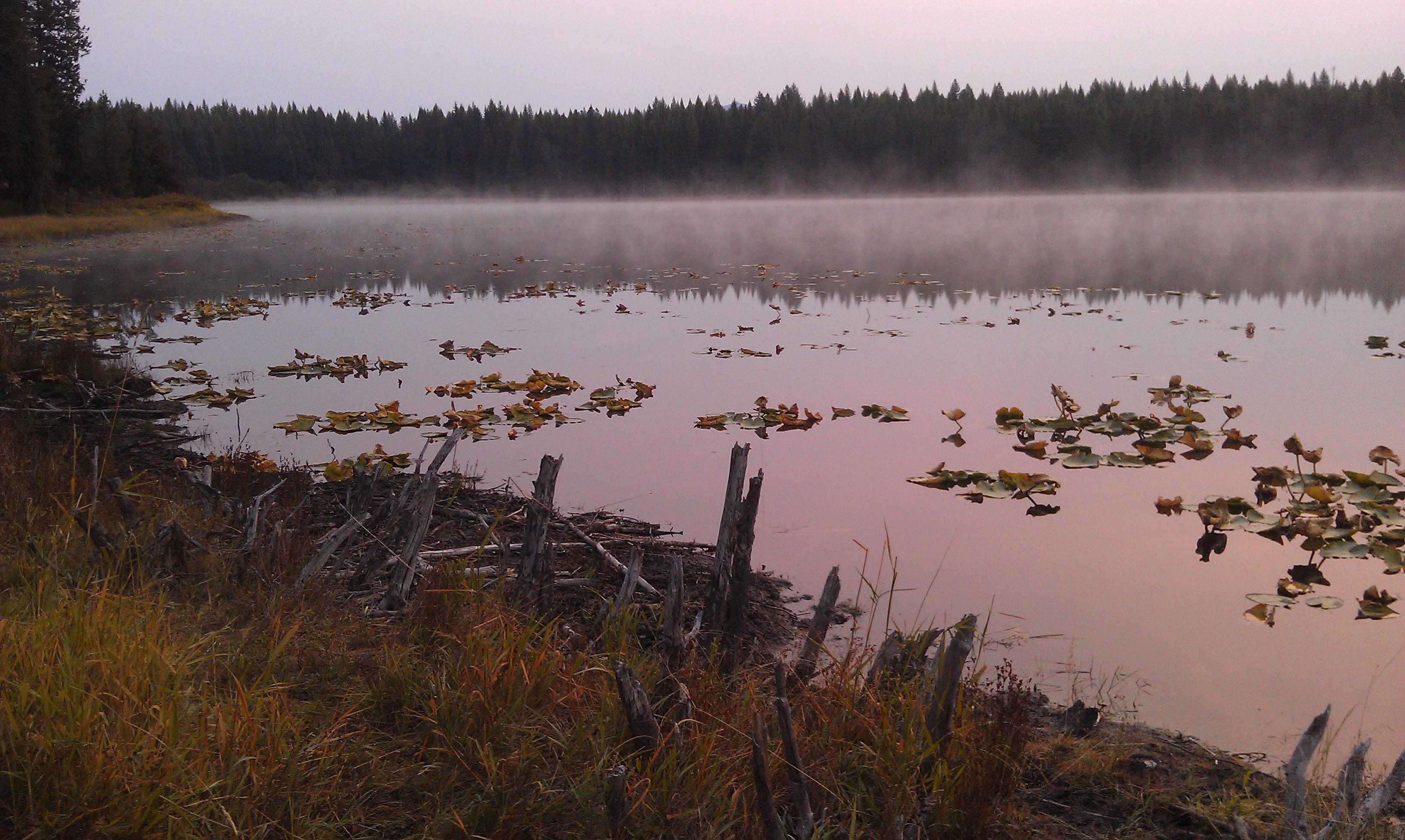
Mill Pond Historic Site
Towards New Heights
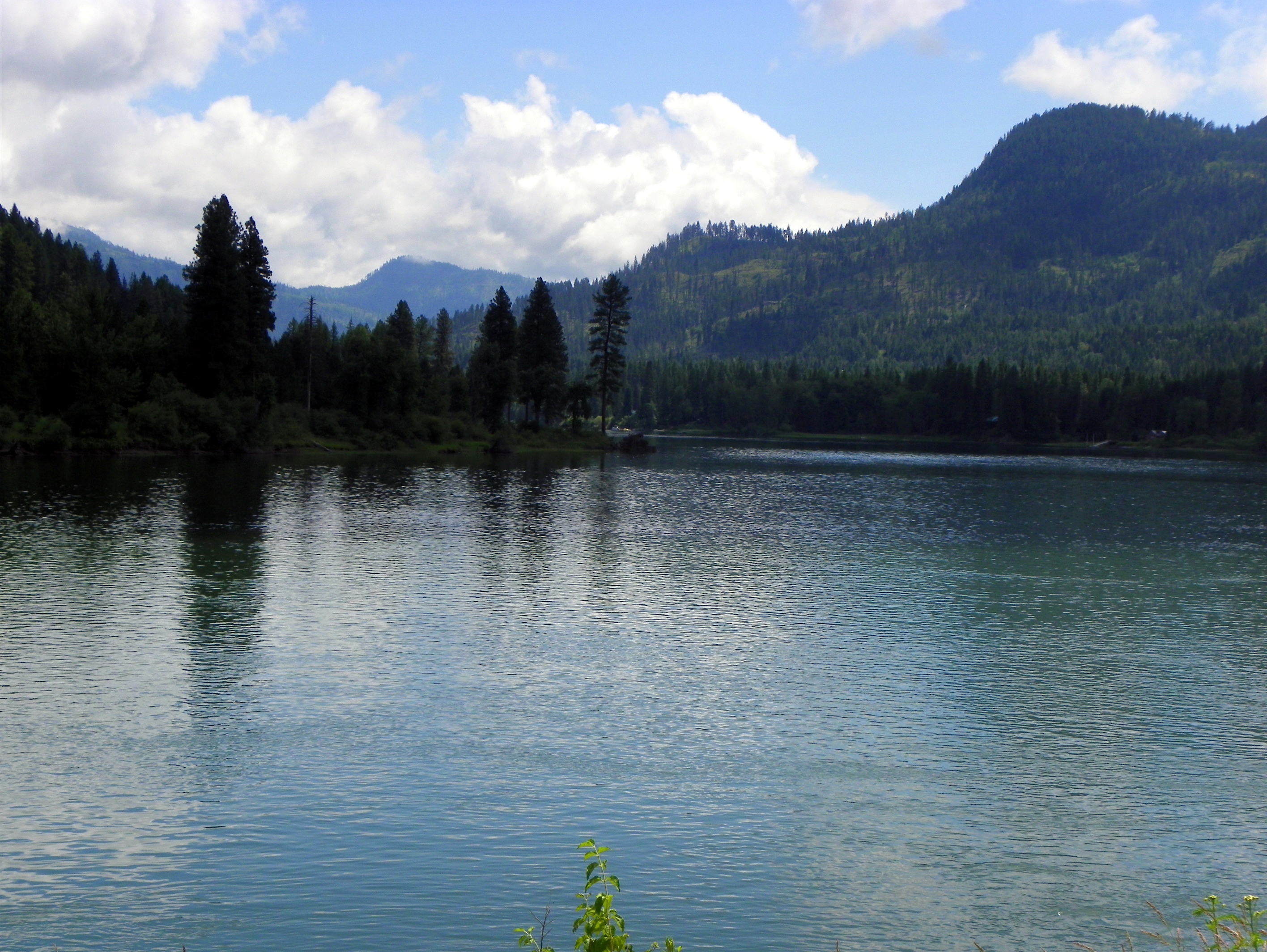
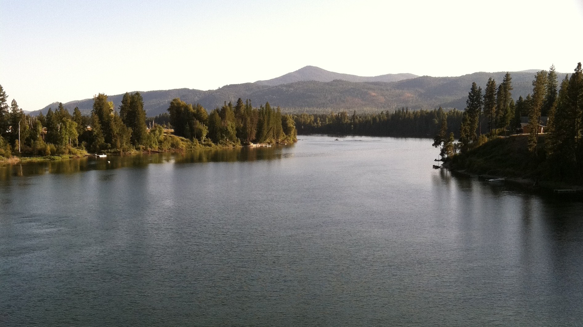
Pend Oreille River
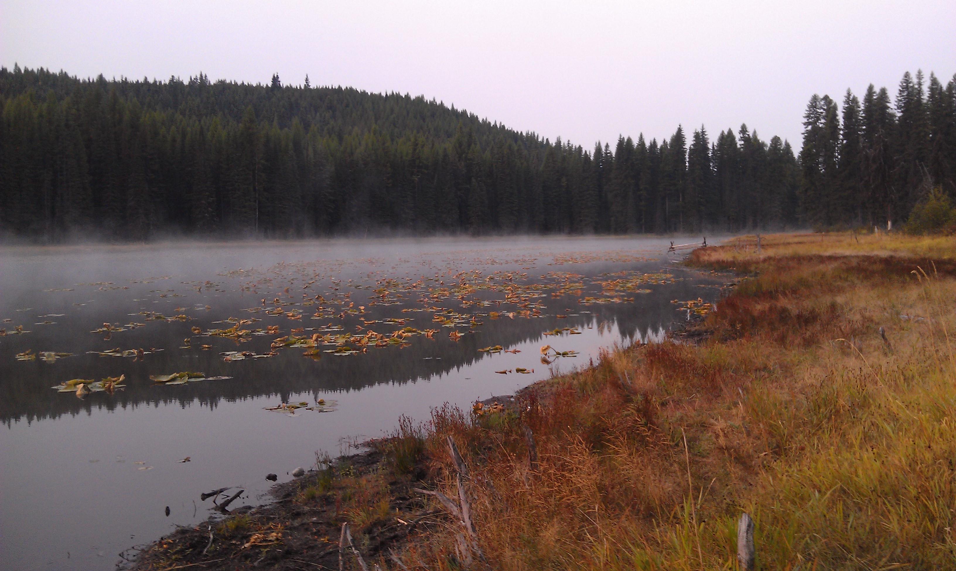
Lake Leo- Colville National Forest- Pend Oreille County WA (1)
Mill Pond Historic Site
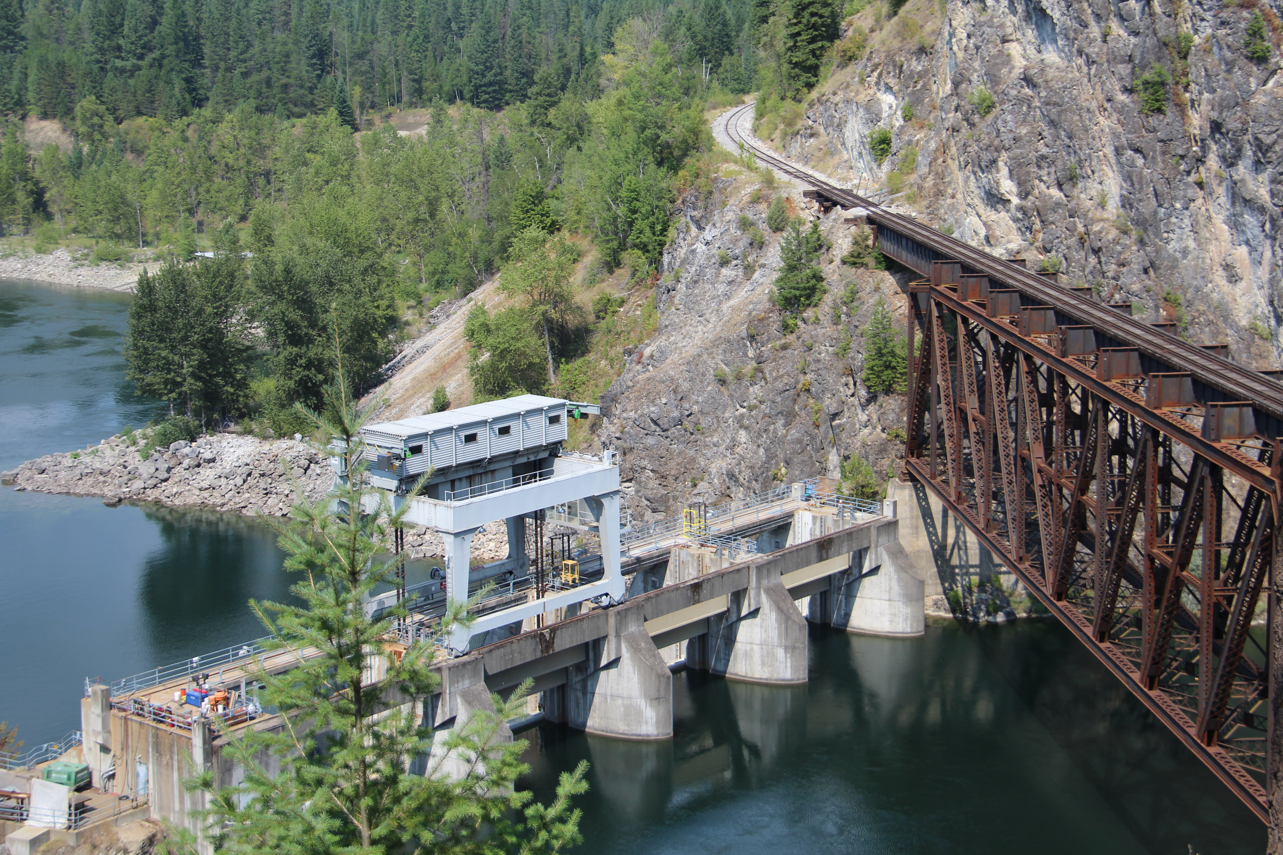
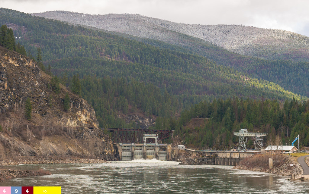
Box Canyon Dam and Idaho and Washington Northern Railroad Bridge (Pend Oreille County, Washington)
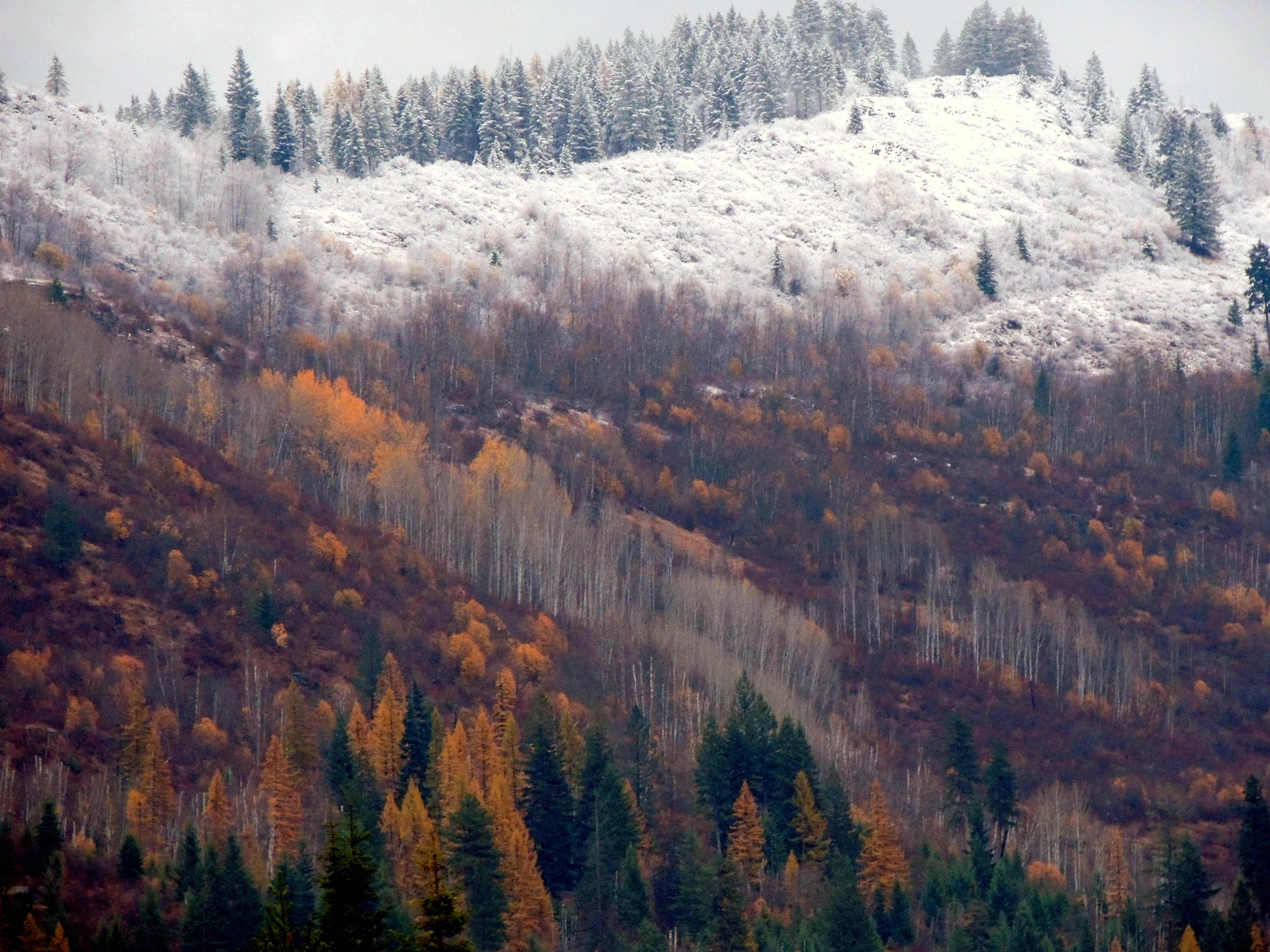
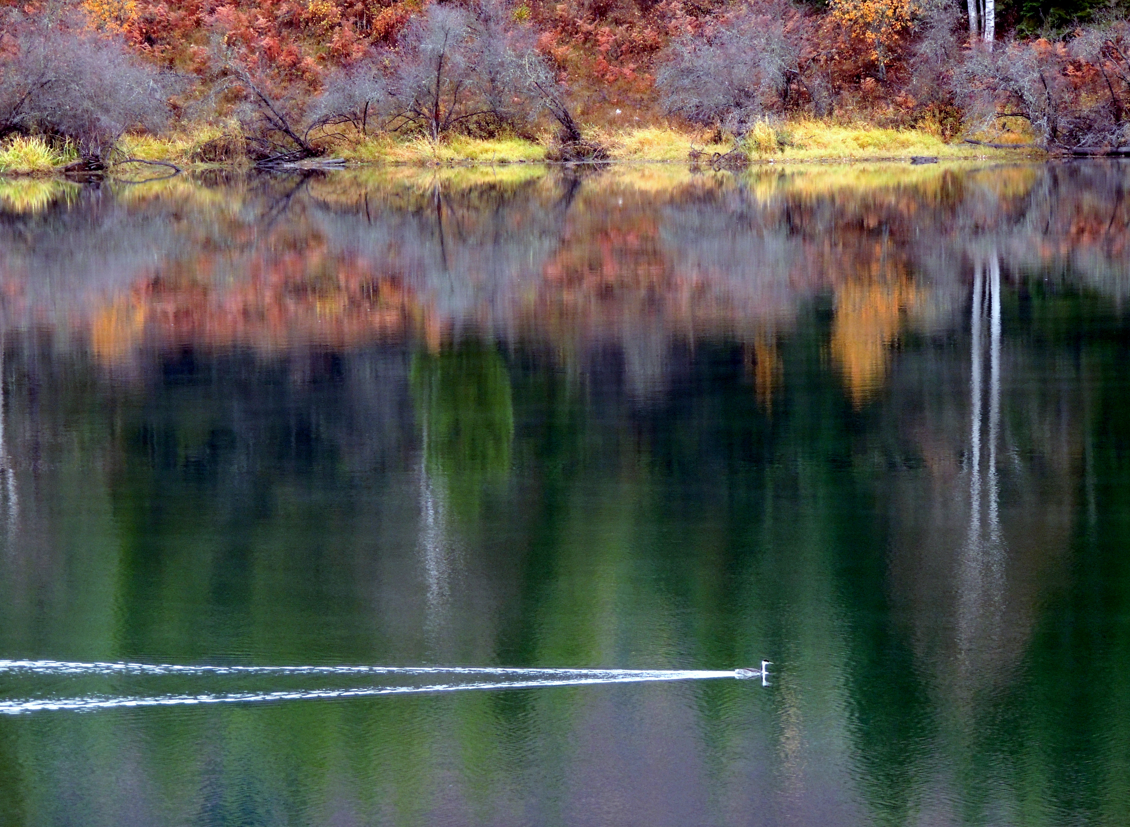
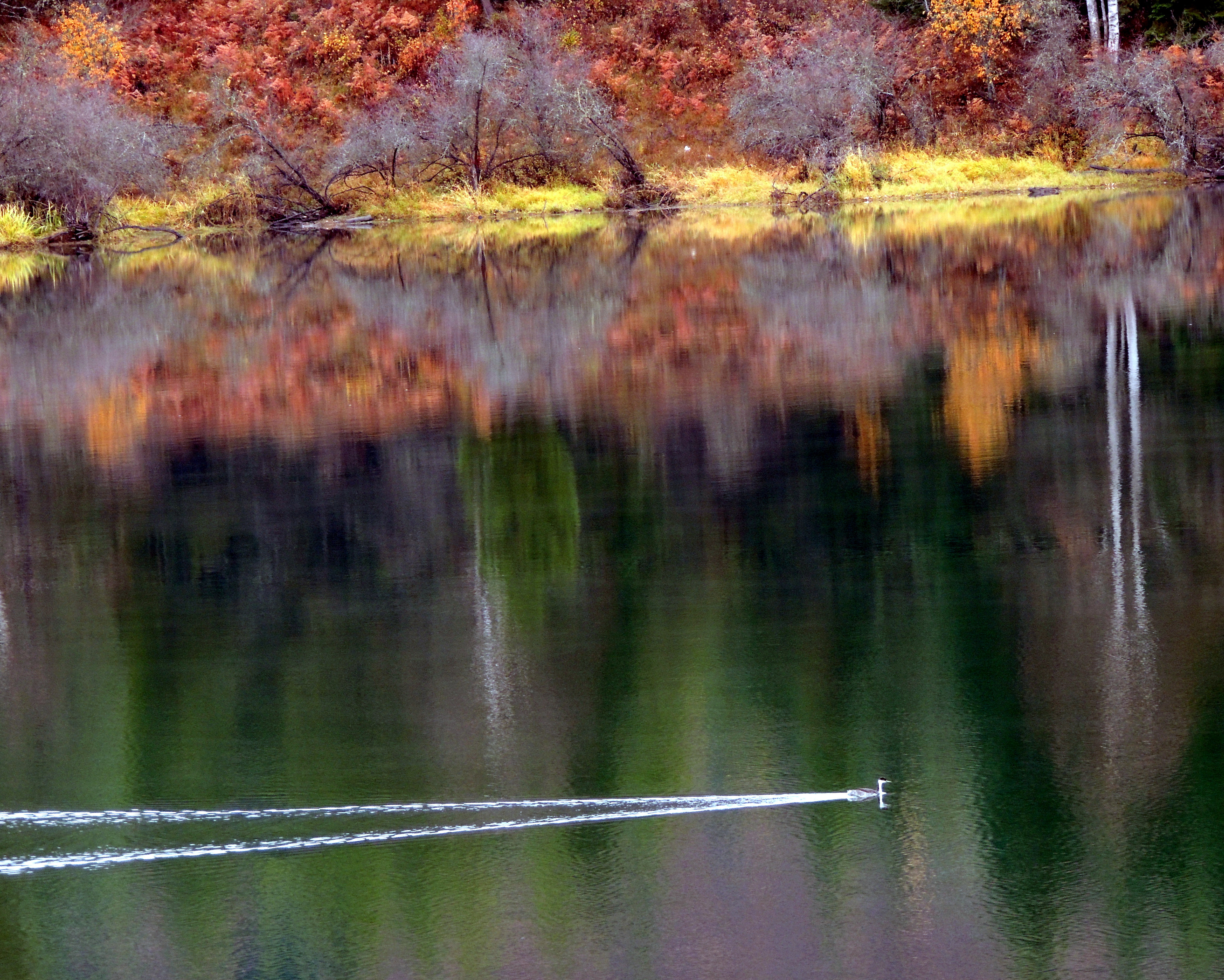
Autumn in Pend Oreille County
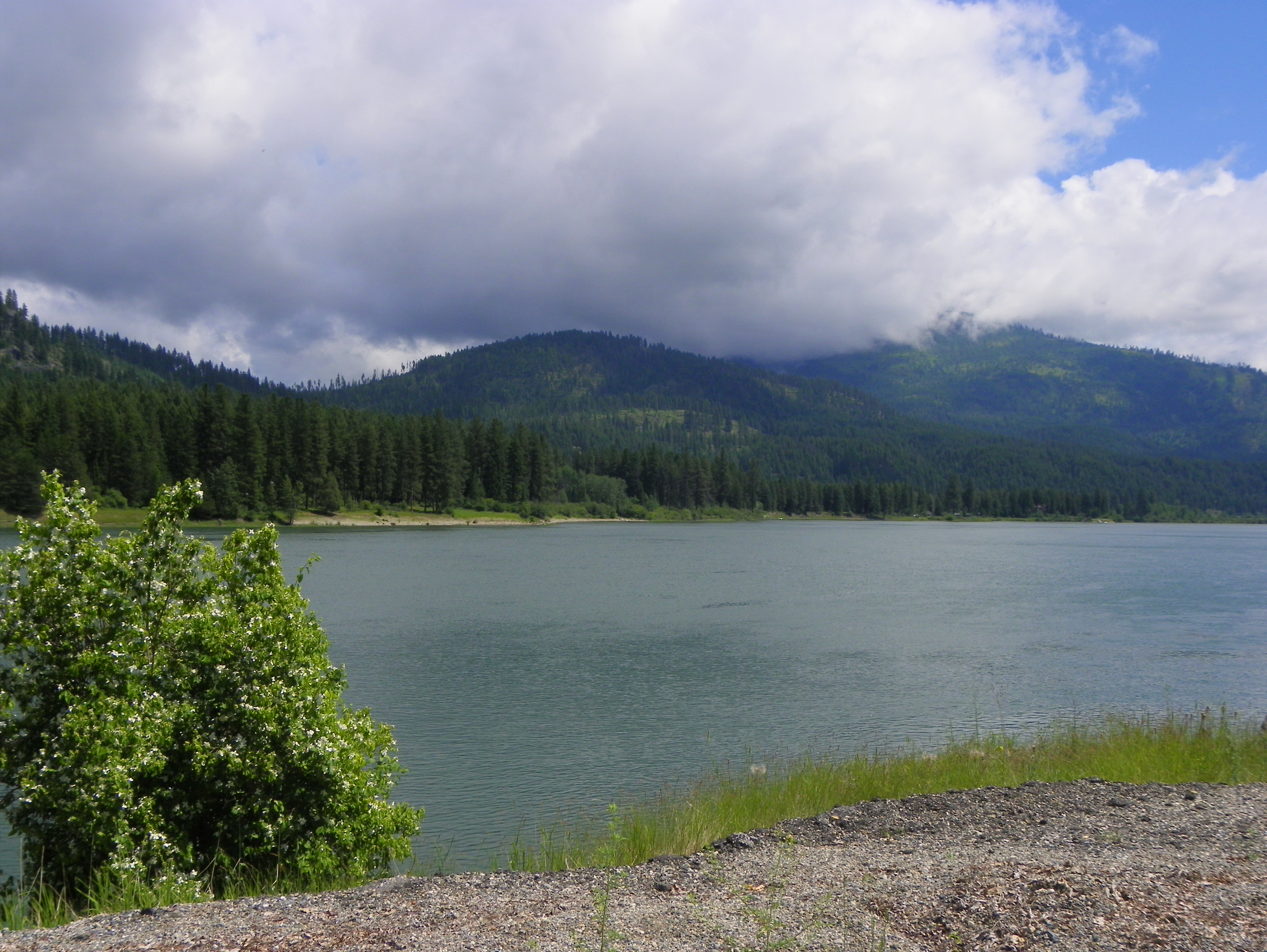
Pend Oreille River
Lake Leo- Colville National Forest- Pend Oreille County WA (2)
Topographic Map of Ione, WA, USA
Find elevation by address:

Places in Ione, WA, USA:
Places near Ione, WA, USA:
Cedar Creek Road
Northstar Road
Nat for Dev Rd, Ione, WA, USA
Metaline Falls
2447 Wa-20
Lake Sherry Homes Drive
Abercrombie Mountain
WA-20, Cusick, WA, USA
Hooknose Mountain
2268 Aladdin Rd
Red Top Mountain
Boundary Access Road
Boundary Dam
Crawford State Park
3918 Cedar Creek Rd
Nelway
Pend D'Oreille Rd, Fruitvale, BC V0G 1L1, Canada
222 N Shadow Dr
250 Rosebud Lake Rd
350 Bear Rd
Recent Searches:
- Elevation of Corso Fratelli Cairoli, 35, Macerata MC, Italy
- Elevation of Tallevast Rd, Sarasota, FL, USA
- Elevation of 4th St E, Sonoma, CA, USA
- Elevation of Black Hollow Rd, Pennsdale, PA, USA
- Elevation of Oakland Ave, Williamsport, PA, USA
- Elevation of Pedrógão Grande, Portugal
- Elevation of Klee Dr, Martinsburg, WV, USA
- Elevation of Via Roma, Pieranica CR, Italy
- Elevation of Tavkvetili Mountain, Georgia
- Elevation of Hartfords Bluff Cir, Mt Pleasant, SC, USA