Elevation of W Tamarack Dr, Fernwood, ID, USA
Location: United States > Idaho > Benewah County > Fernwood >
Longitude: -116.36141
Latitude: 47.1416117
Elevation: 1008m / 3307feet
Barometric Pressure: 90KPa
Elevation Map:
Satellite Map:
Related Photos:

Mica Creek Road
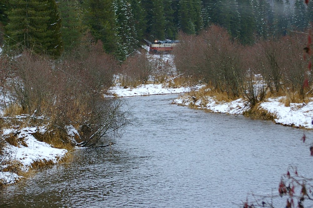
Along the St.Maries River

Profit center
Ghosts of the MILW Take 4

More fire
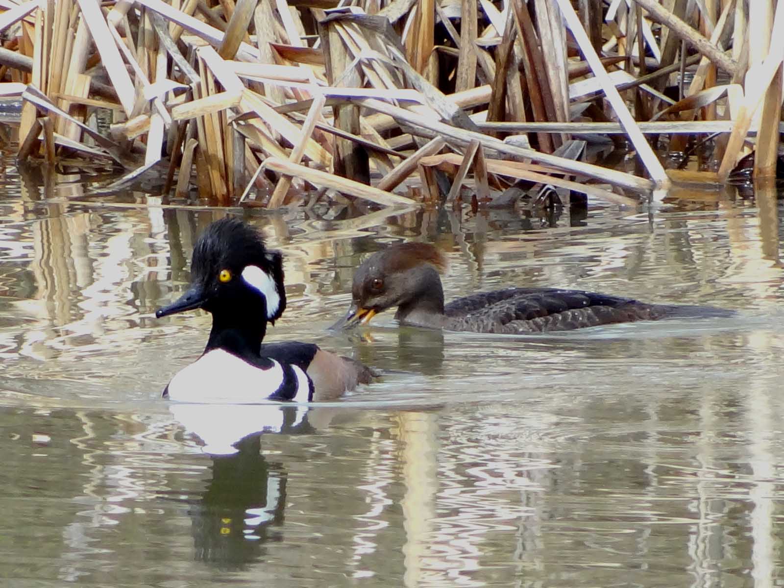
Apr2,2012f 112 Hooded Mergansers
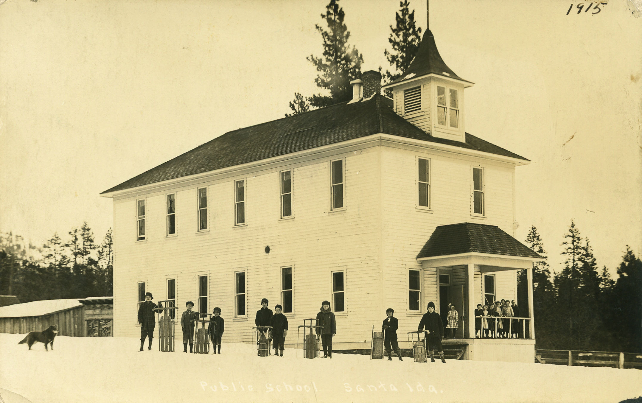
Public School, 1915 - Santa, Idaho
End ID-6 East at ID-3
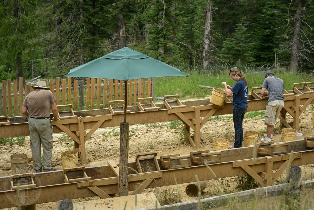
Treasure buckets
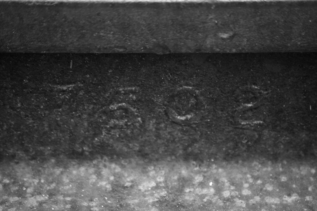
MILW 75 LB RAIL, FERNWOOD, ID 2012
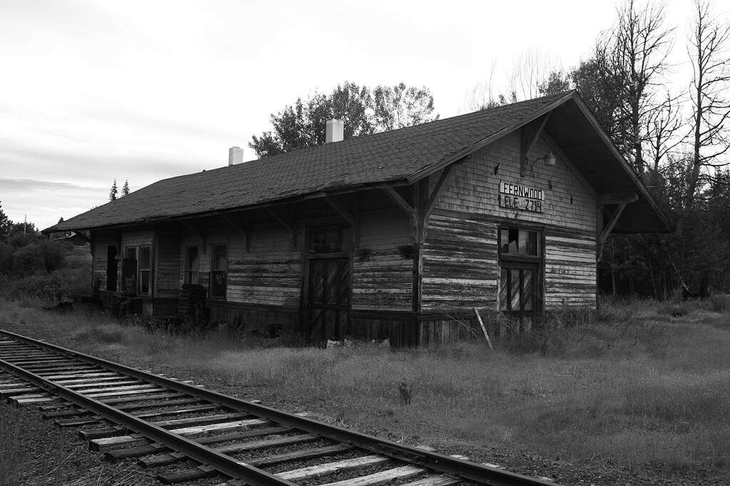
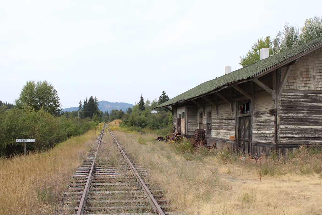
MILW DEPOT, FERNWOOD, ID 2012

Marlee 2
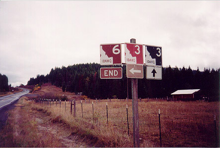
End ID-6 East at ID-3
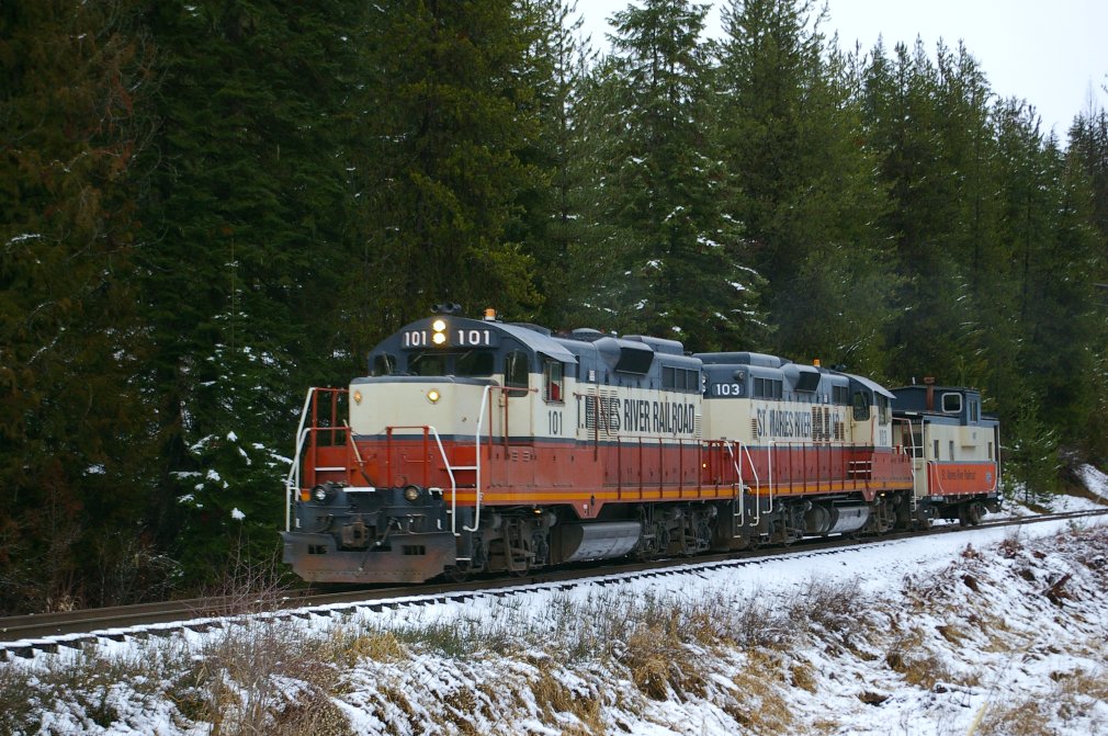
St.Maries River RR

Merry Christmas
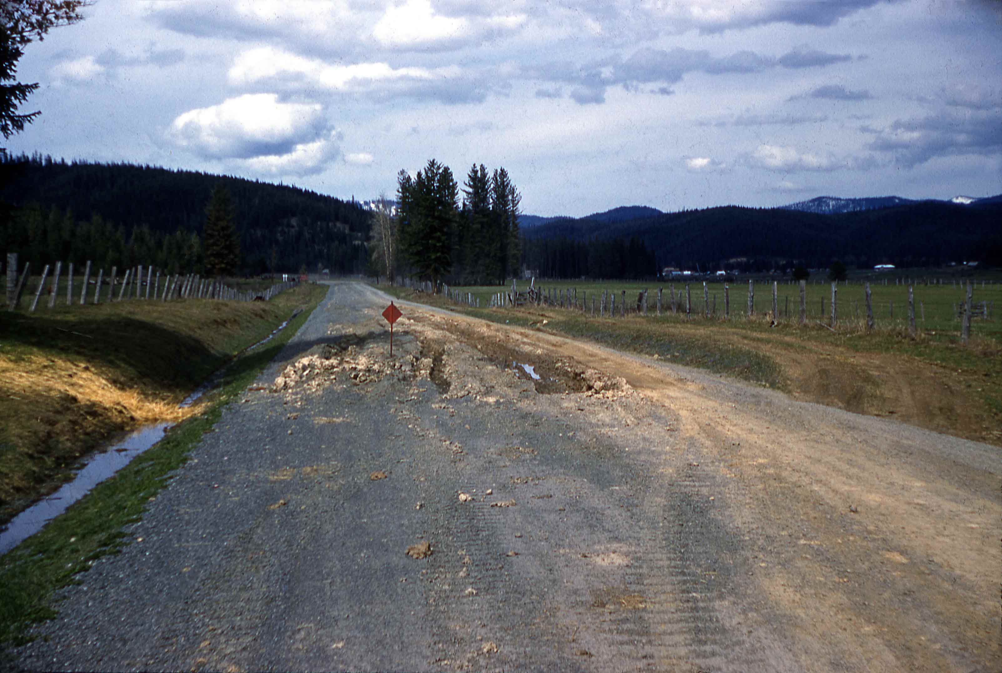
Spring Break-up in 1956
When you gotta go
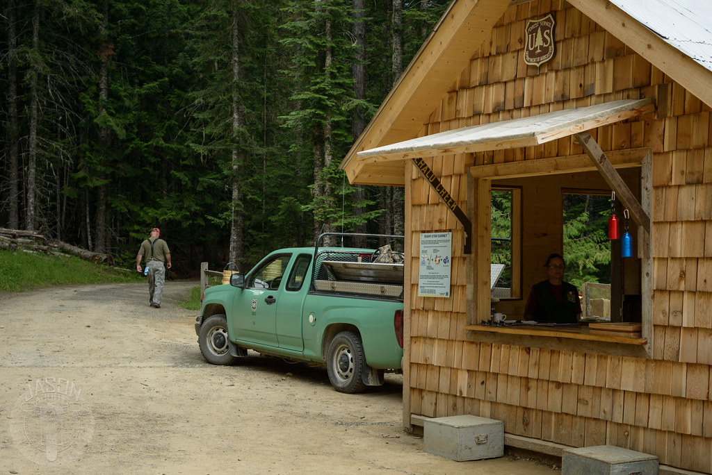
Emerald Creek Garnet Area
EX-MILW DEPOT INTERIOR, FERNWOOD, ID 2012
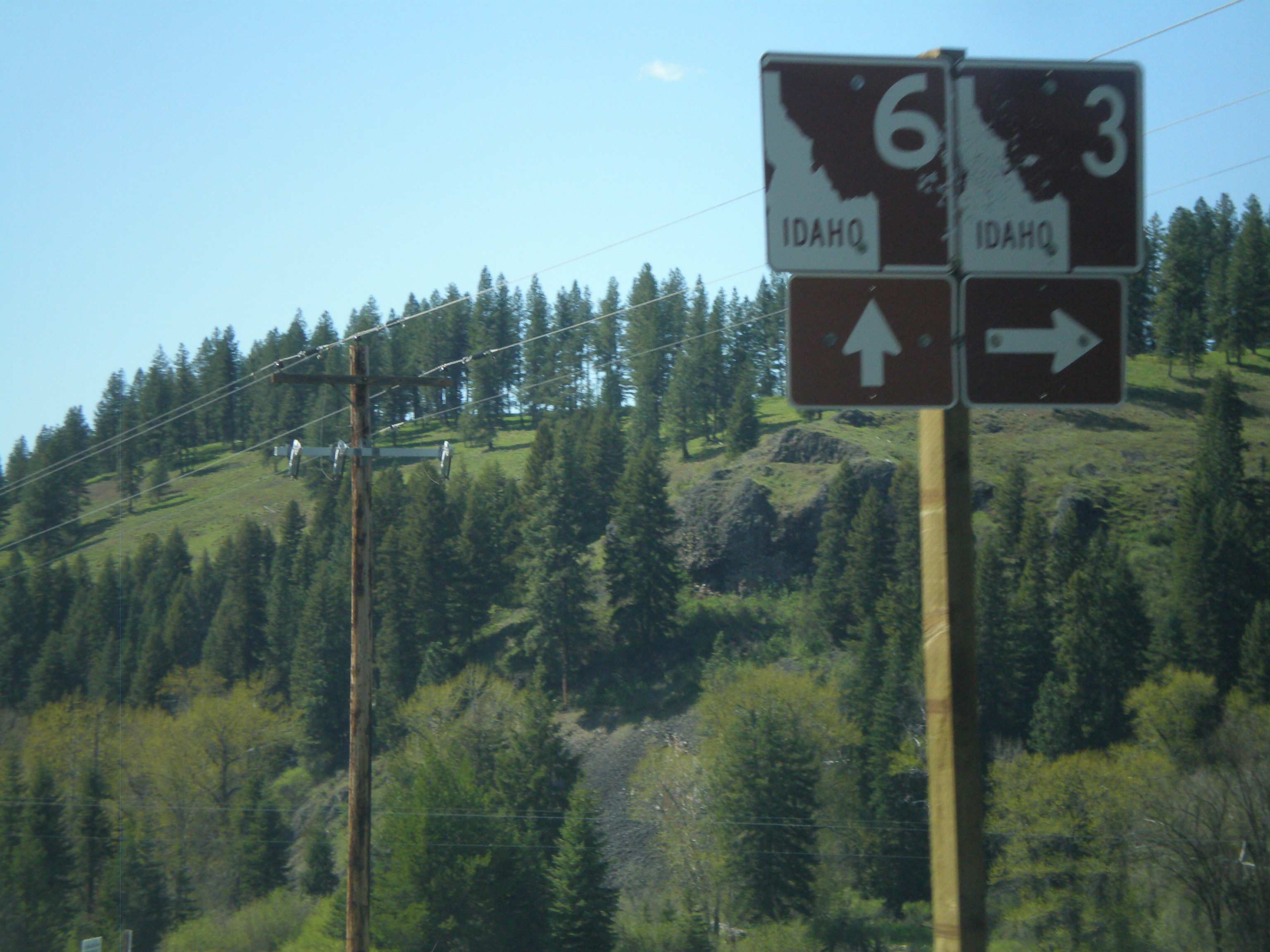
ID-3 north at ID-6
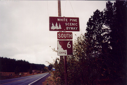
ID-6 South - White Pine Scenic Byway
Topographic Map of W Tamarack Dr, Fernwood, ID, USA
Find elevation by address:

Places near W Tamarack Dr, Fernwood, ID, USA:
210 Meadowlark Dr
2088 Crystal Peak Rd
Finn Creek Rd, Fernwood, ID, USA
ID-3, Fernwood, ID, USA
Fernwood
Davis Creek Road
Davis Creek Road
Davis Creek Road
ID-3, St Maries, ID, USA
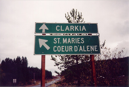
ID-3, Clarkia, ID, USA
183 Rowe Ln
183 Rowe Ln
Santa
Little Carpenter Creek Road
Coyote Crossing Road
Coyote Crossing
1455 Flat Creek Rd
227 Winter Way
Clarkia
53674 State Hwy 3
Recent Searches:
- Elevation of Corso Fratelli Cairoli, 35, Macerata MC, Italy
- Elevation of Tallevast Rd, Sarasota, FL, USA
- Elevation of 4th St E, Sonoma, CA, USA
- Elevation of Black Hollow Rd, Pennsdale, PA, USA
- Elevation of Oakland Ave, Williamsport, PA, USA
- Elevation of Pedrógão Grande, Portugal
- Elevation of Klee Dr, Martinsburg, WV, USA
- Elevation of Via Roma, Pieranica CR, Italy
- Elevation of Tavkvetili Mountain, Georgia
- Elevation of Hartfords Bluff Cir, Mt Pleasant, SC, USA