Elevation of Davis Creek Road, Davis Creek Rd, Idaho, USA
Location: United States > Idaho > Benewah County > Santa >
Longitude: -116.40723
Latitude: 47.1831692
Elevation: 924m / 3031feet
Barometric Pressure: 91KPa
Elevation Map:
Satellite Map:
Related Photos:

Mica Creek Road

Profit center

New Life Springs from Old

2020_07_02 Cour de Alene ID (39)

May4,2019 DSC00948 Glacier Lily

May4,2019 DSC00953 Glacier Lily

May4,2019 DSC00951 Sagebrush Buttercup

May4,2019 DSC00952 Blue-eyed Mary

May4,2019 DSC00957 Glacier Lily

May4,2019 DSC00947 Glacier Lily
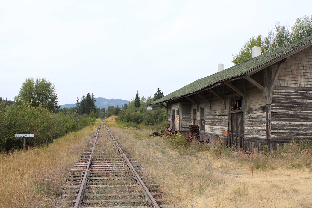
Ghosts of the MILW Take 4

Shadowy St Joe sign

Public School, 1915 - Santa, Idaho

Merry Christmas

Our first day back June 1st 11'

St Maries River Valley

Winter Larch Scene

Snow Fans

Frost on Grass

Leaf in Ice
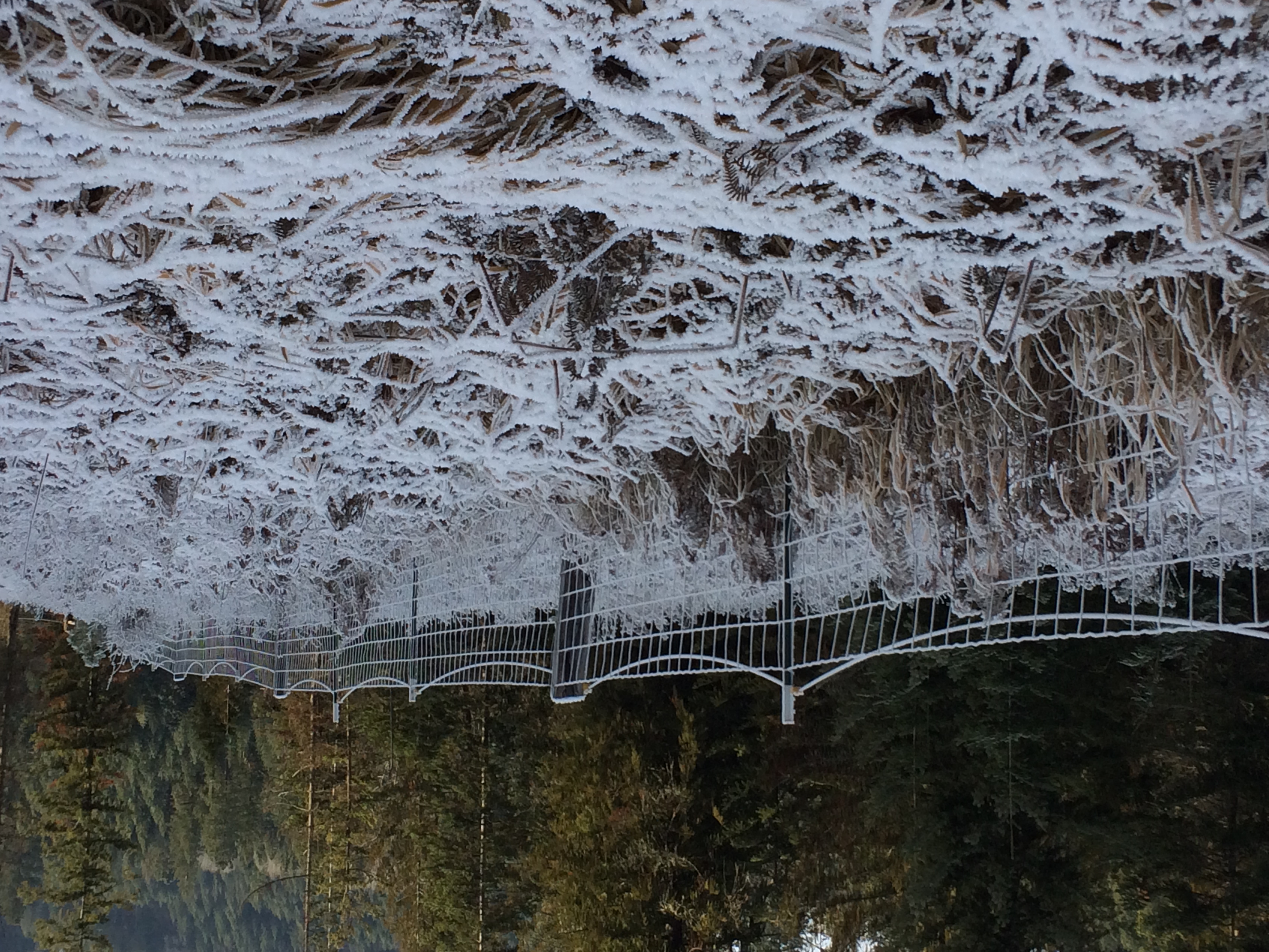
Snow Fence
Topographic Map of Davis Creek Road, Davis Creek Rd, Idaho, USA
Find elevation by address:

Places near Davis Creek Road, Davis Creek Rd, Idaho, USA:
Davis Creek Road
Davis Creek Road
ID-3, St Maries, ID, USA
Santa
210 Meadowlark Dr
ID-3, Fernwood, ID, USA
Fernwood
Finn Creek Rd, Fernwood, ID, USA
227 Winter Way
1455 Flat Creek Rd
Sportsman Access
Highland Springs Road
North Main Street
60 College Ave, St Maries, ID, USA
Emida
Benewah County
Cherry Creek Road
6134 Alder Creek Rd
Alder Creek Road
Recent Searches:
- Elevation of Corso Fratelli Cairoli, 35, Macerata MC, Italy
- Elevation of Tallevast Rd, Sarasota, FL, USA
- Elevation of 4th St E, Sonoma, CA, USA
- Elevation of Black Hollow Rd, Pennsdale, PA, USA
- Elevation of Oakland Ave, Williamsport, PA, USA
- Elevation of Pedrógão Grande, Portugal
- Elevation of Klee Dr, Martinsburg, WV, USA
- Elevation of Via Roma, Pieranica CR, Italy
- Elevation of Tavkvetili Mountain, Georgia
- Elevation of Hartfords Bluff Cir, Mt Pleasant, SC, USA