Elevation of Alder Creek Road, Alder Creek Rd, Idaho, USA
Location: United States > Idaho > Benewah County > Saint Maries >
Longitude: -116.71478
Latitude: 47.2130345
Elevation: 912m / 2992feet
Barometric Pressure: 91KPa
Elevation Map:
Satellite Map:
Related Photos:

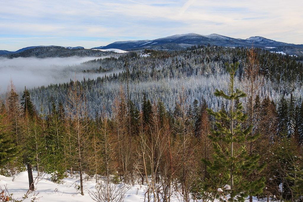
The River That Flows Thru a Lake

Water Lily

6-27-11 Lake Benewah trestle

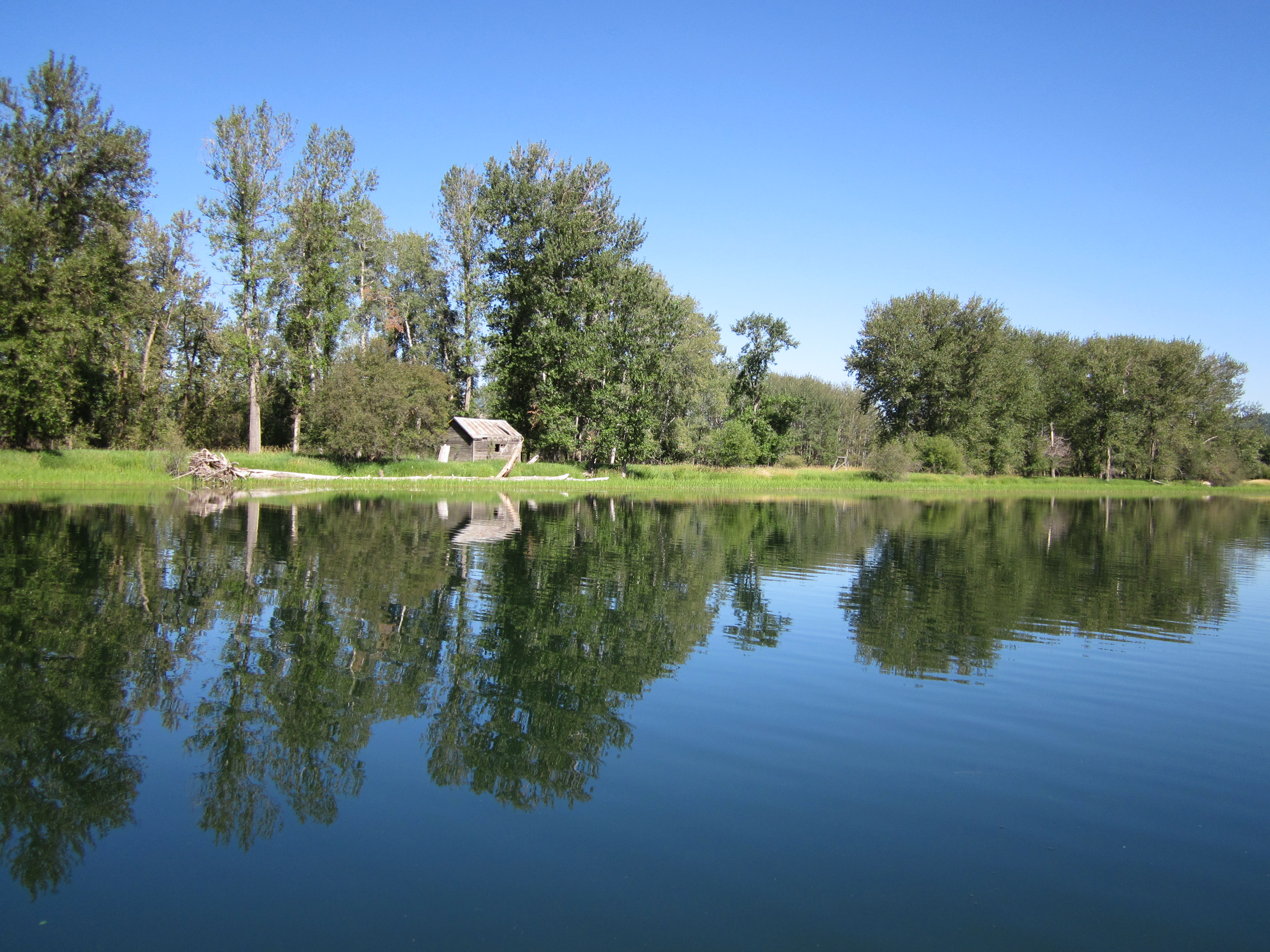
Shadowy St. Joe River

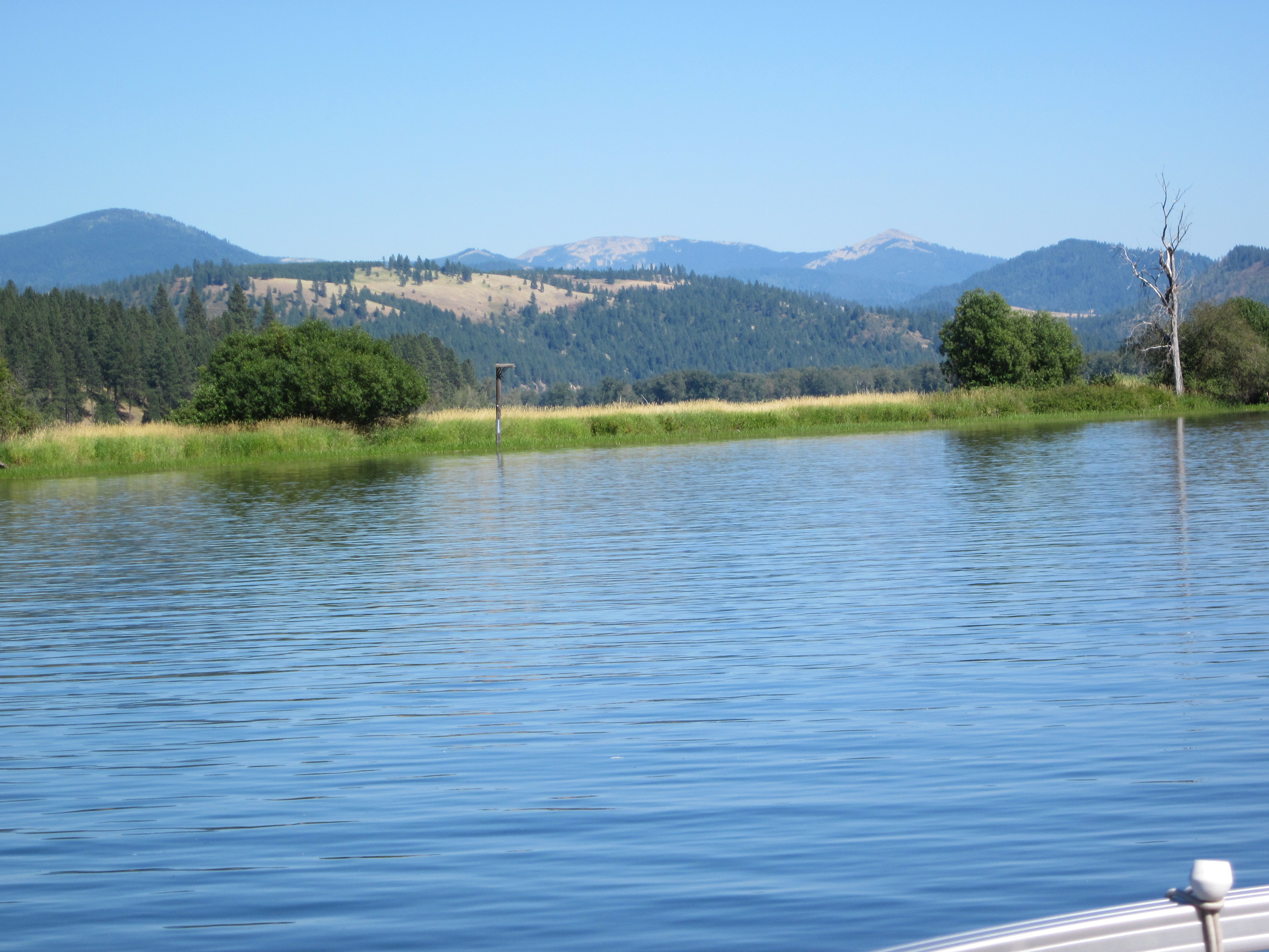
LAKE CHATCOLET, RAMSDELL, IDAHO 2012
Emida View

Shadowy St. Joe River

Autumn Rails

St. Maries River Railroad

Train a Comin'

Balsam Distill 26

St Joe river Idaho 1
St. Joe River, Idaho

St Joe River, Idaho
St Joe River, Idaho

DSC_9338.jpg

DSC_9339.jpg
Topographic Map of Alder Creek Road, Alder Creek Rd, Idaho, USA
Find elevation by address:

Places near Alder Creek Road, Alder Creek Rd, Idaho, USA:
6134 Alder Creek Rd
Benewah County
Cherry Creek Road
Highland Springs Road
North Main Street
Emida
60 College Ave, St Maries, ID, USA
Sportsman Access
1455 Flat Creek Rd
227 Winter Way
Santa
ID-3, St Maries, ID, USA
Davis Creek Road
Davis Creek Road
Davis Creek Road
ID-3, Fernwood, ID, USA
Fernwood
Finn Creek Rd, Fernwood, ID, USA
210 Meadowlark Dr
Recent Searches:
- Elevation of Corso Fratelli Cairoli, 35, Macerata MC, Italy
- Elevation of Tallevast Rd, Sarasota, FL, USA
- Elevation of 4th St E, Sonoma, CA, USA
- Elevation of Black Hollow Rd, Pennsdale, PA, USA
- Elevation of Oakland Ave, Williamsport, PA, USA
- Elevation of Pedrógão Grande, Portugal
- Elevation of Klee Dr, Martinsburg, WV, USA
- Elevation of Via Roma, Pieranica CR, Italy
- Elevation of Tavkvetili Mountain, Georgia
- Elevation of Hartfords Bluff Cir, Mt Pleasant, SC, USA