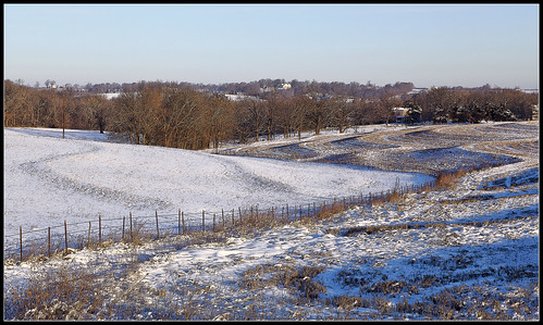
Elevation of W Ross St, Palmyra, MO, USA
Location: United States > Missouri > Marion County > Liberty Township > Palmyra >
Longitude: -91.534612
Latitude: 39.7941212
Elevation: 197m / 646feet
Barometric Pressure: 99KPa
Related Photos:
Topographic Map of W Ross St, Palmyra, MO, USA
Find elevation by address:

Places near W Ross St, Palmyra, MO, USA:
Palmyra
Liberty Township
State Hwy C, Palmyra, MO, USA
Miller Township
Mt Zion Rd, Hannibal, MO, USA
Co Rd, Palmyra, MO, USA
Mt Zion Rd, Hannibal, MO, USA
MO-, Palmyra, MO, USA
Marion County
Hannibal Regional Hospital
State Hwy H, Hannibal, MO, USA
Ward Island Rd, Quincy, IL, USA
Rensselaer
51741 Big Creek Ln
51741 Big Creek Ln
49384 Lake Shore Dr
Hannibal, MO, USA
Clay Township
Depot Rd, Taylor, MO, USA
Union Township
Recent Searches:
- Elevation of Corso Fratelli Cairoli, 35, Macerata MC, Italy
- Elevation of Tallevast Rd, Sarasota, FL, USA
- Elevation of 4th St E, Sonoma, CA, USA
- Elevation of Black Hollow Rd, Pennsdale, PA, USA
- Elevation of Oakland Ave, Williamsport, PA, USA
- Elevation of Pedrógão Grande, Portugal
- Elevation of Klee Dr, Martinsburg, WV, USA
- Elevation of Via Roma, Pieranica CR, Italy
- Elevation of Tavkvetili Mountain, Georgia
- Elevation of Hartfords Bluff Cir, Mt Pleasant, SC, USA
