Elevation of Marion County, MO, USA
Location: United States > Missouri >
Longitude: -91.637215
Latitude: 39.8464028
Elevation: 190m / 623feet
Barometric Pressure: 0KPa
Related Photos:

IMG_9548

Blessed Solitude

Main Street Palmyra

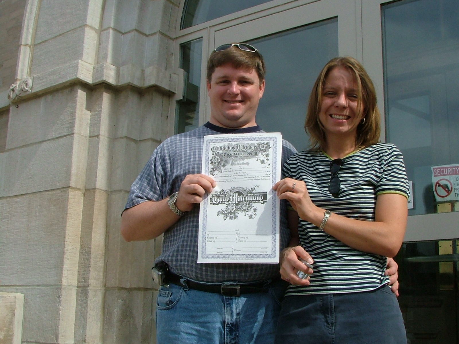
Palmyra Justice

Downtown Palmyra

Palmyra Courthouse

Marion County Courthouse
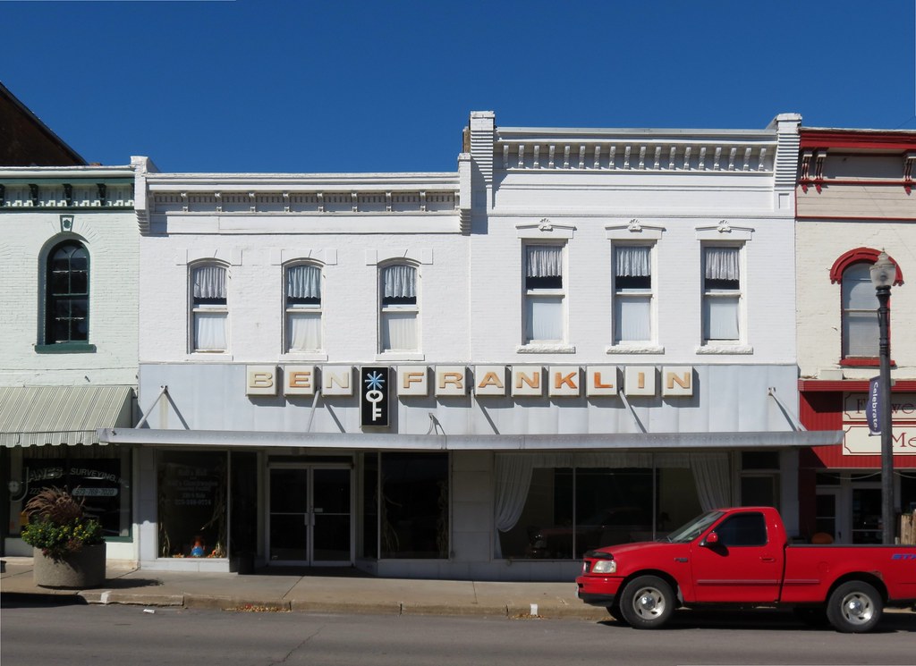
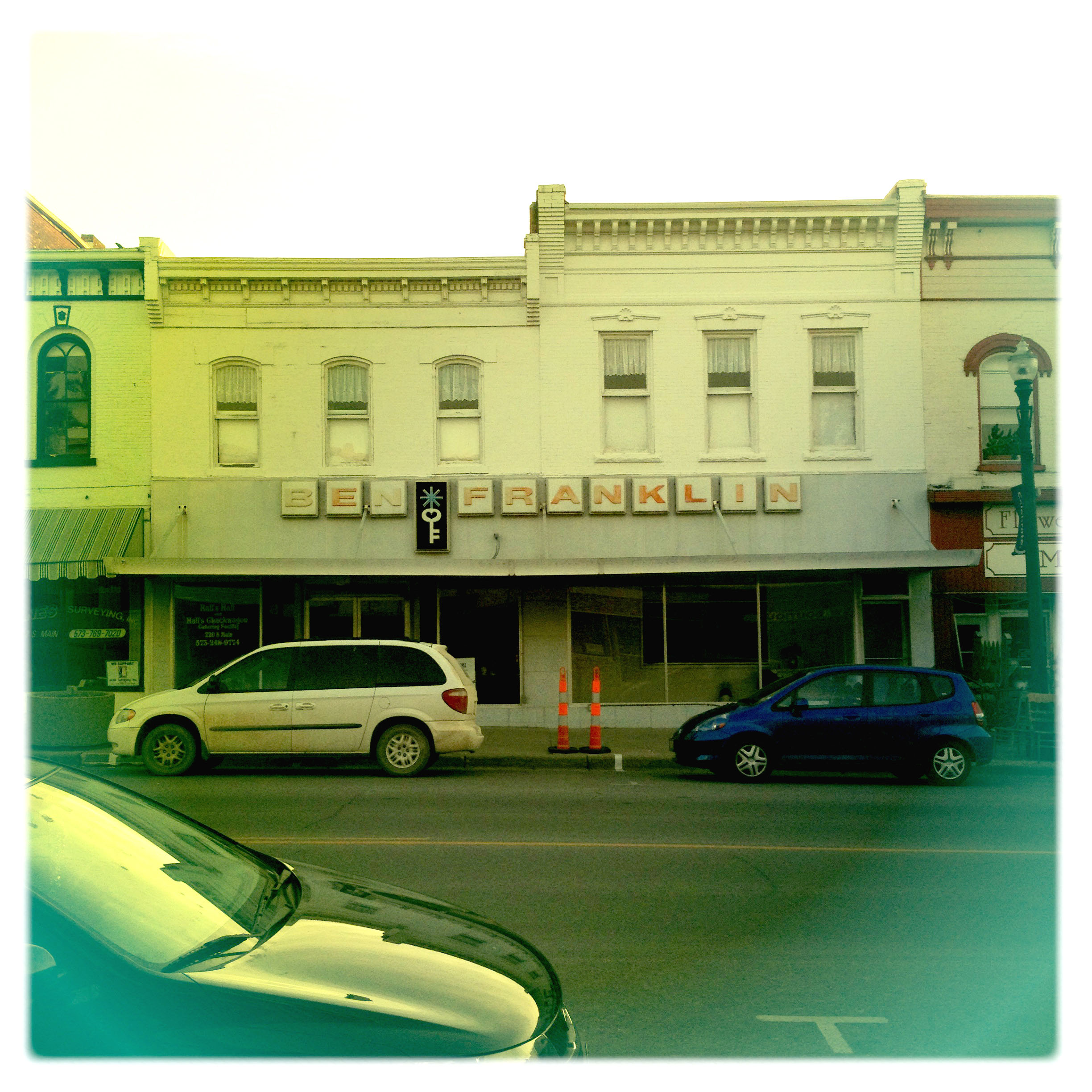
Palmyra Ben Franklin

GMC Envoy

Besökare Samtidigt
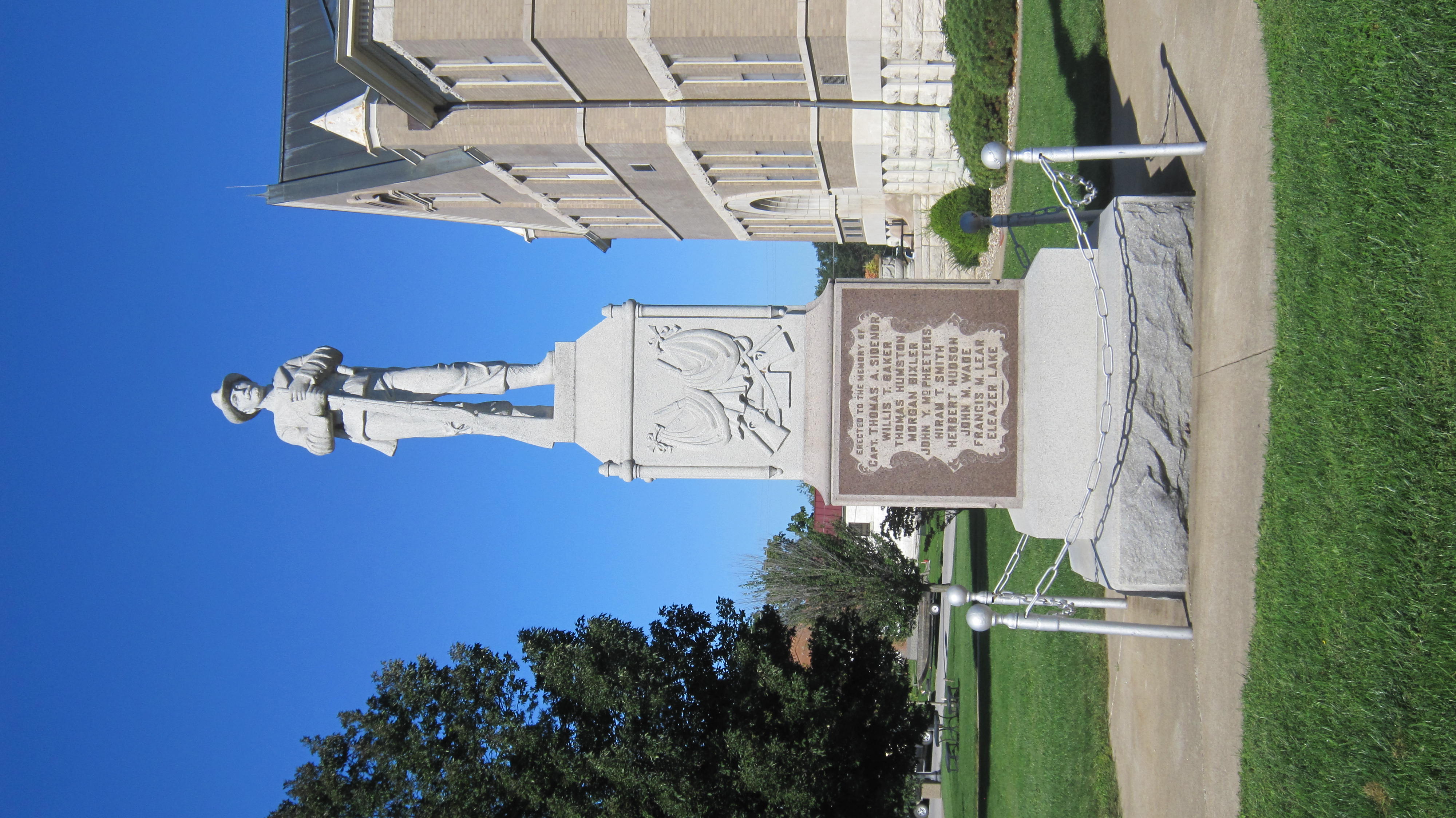
Palmyra Confederate Monument
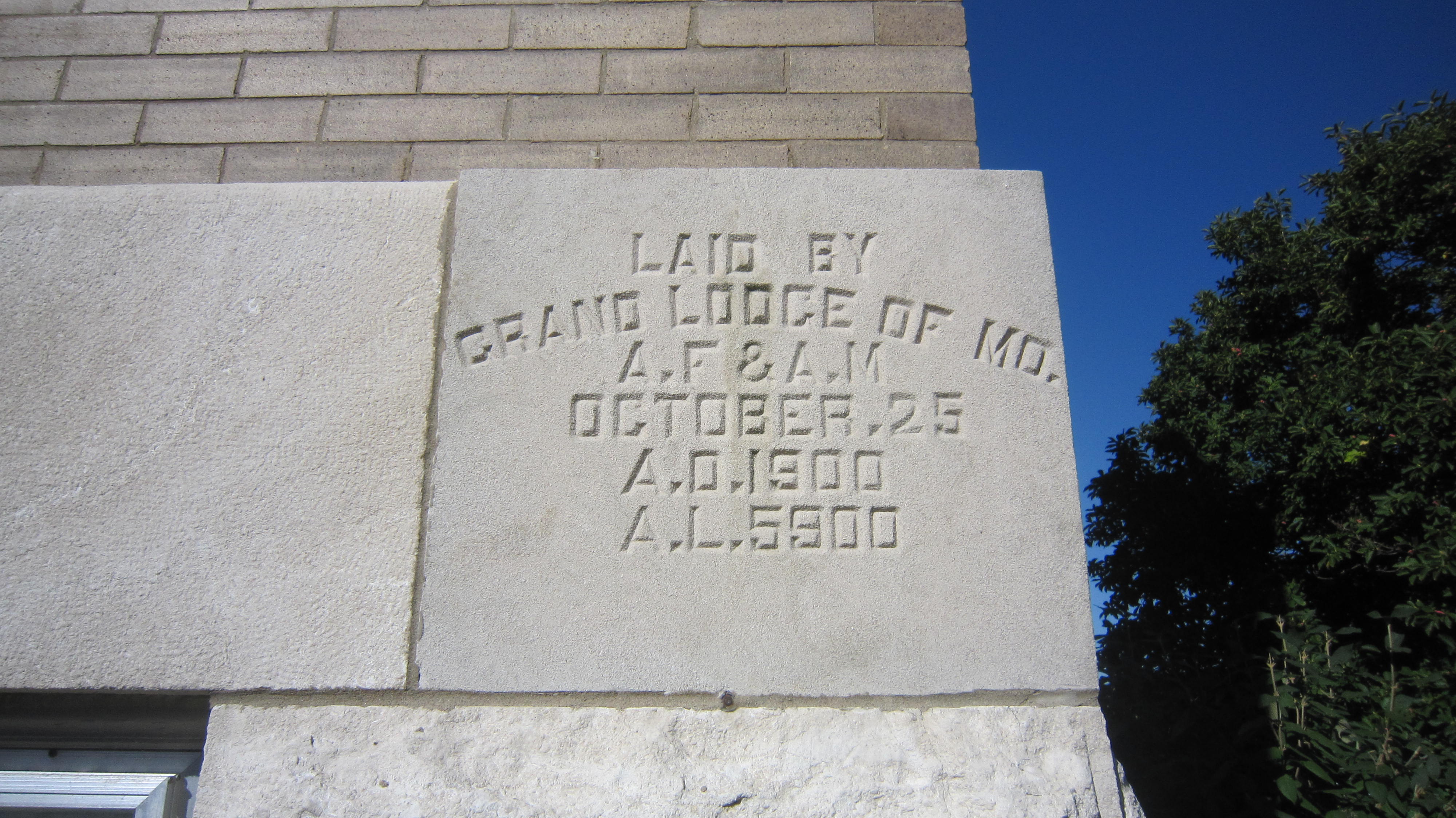
Marion County Courthouse cornerstone
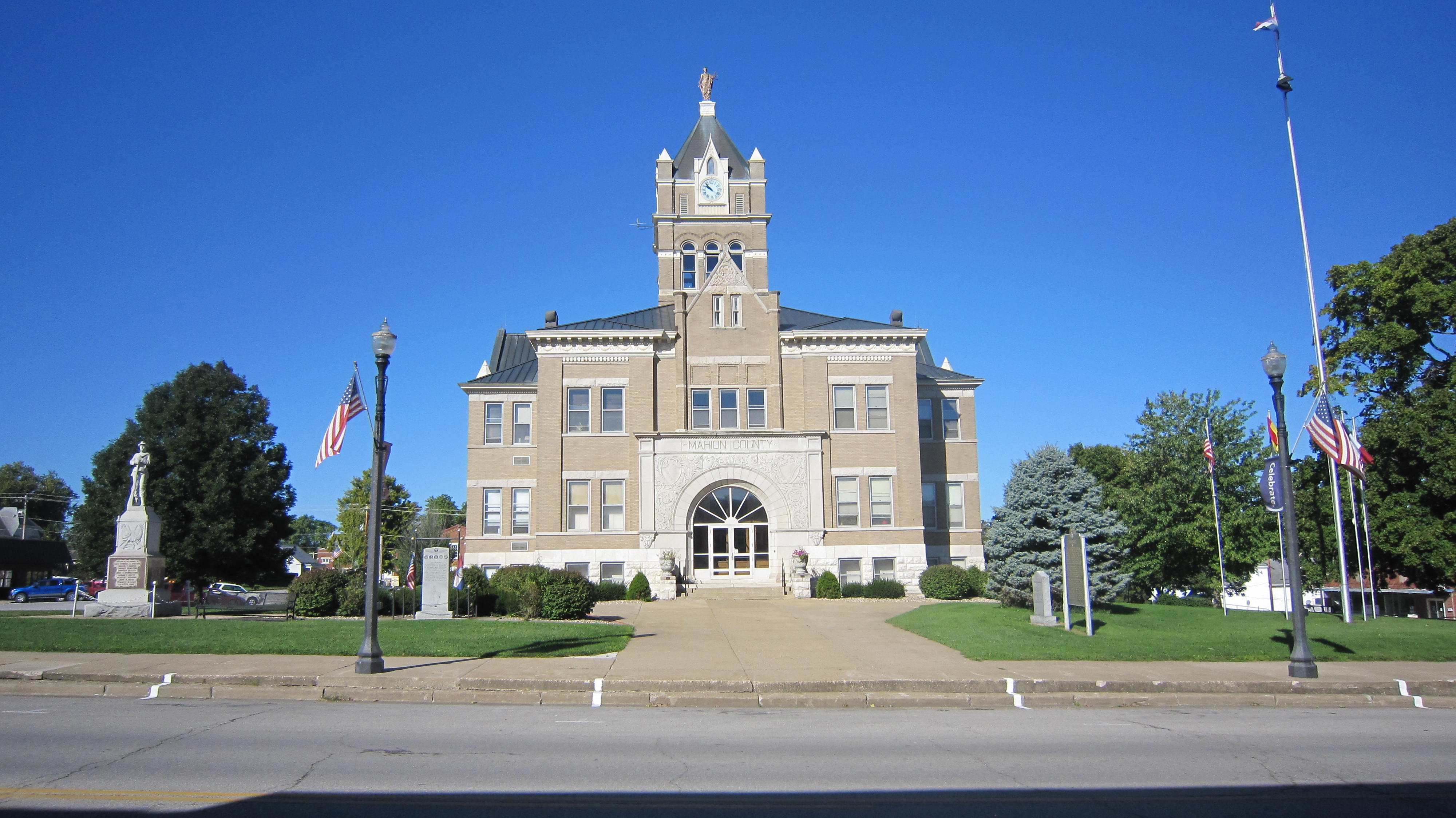
Marion County Courthouse

32 Yds Jelly Head
rerun 2 012
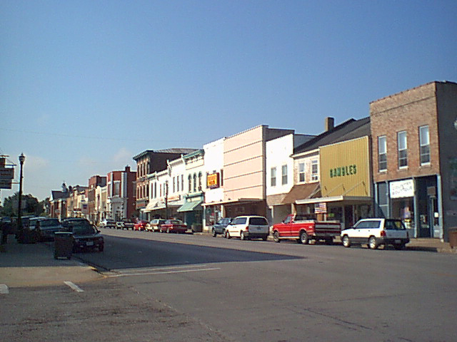
Palmyra Main Street

Marion County Courthouse
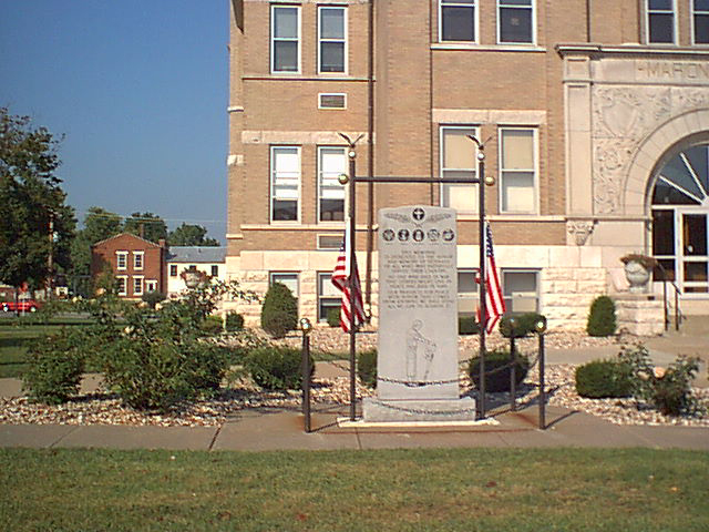
Veterans' Monument

Yurt w/ topiary
Ben Again

Establishment door

Establishment interior
Topographic Map of Marion County, MO, USA
Find elevation by address:

Places in Marion County, MO, USA:
Liberty Township
Miller Township
Union Township
Depot Rd, Taylor, MO, USA
Mason Township
Co Rd, Palmyra, MO, USA
Places near Marion County, MO, USA:
Union Township
State Hwy C, Palmyra, MO, USA
County Road 17
Philadelphia
2191 Missouri 36 Bike Rte
2191 Missouri 36 Bike Rte
Maywood
W Ross St, Palmyra, MO, USA
Palmyra
Liberty Township
Highland Township
MO-, Philadelphia, MO, USA
Ewing
Union Township
Missouri J, Monroe City, MO, USA
Co Rd, Palmyra, MO, USA
State Hwy CC, Ewing, MO, USA
Ward Island Rd, Quincy, IL, USA
Rensselaer
State Hwy H, Hannibal, MO, USA
Recent Searches:
- Elevation map of Greenland, Greenland
- Elevation of Sullivan Hill, New York, New York, 10002, USA
- Elevation of Morehead Road, Withrow Downs, Charlotte, Mecklenburg County, North Carolina, 28262, USA
- Elevation of 2800, Morehead Road, Withrow Downs, Charlotte, Mecklenburg County, North Carolina, 28262, USA
- Elevation of Yangbi Yi Autonomous County, Yunnan, China
- Elevation of Pingpo, Yangbi Yi Autonomous County, Yunnan, China
- Elevation of Mount Malong, Pingpo, Yangbi Yi Autonomous County, Yunnan, China
- Elevation map of Yongping County, Yunnan, China
- Elevation of North 8th Street, Palatka, Putnam County, Florida, 32177, USA
- Elevation of 107, Big Apple Road, East Palatka, Putnam County, Florida, 32131, USA
- Elevation of Jiezi, Chongzhou City, Sichuan, China
- Elevation of Chongzhou City, Sichuan, China
- Elevation of Huaiyuan, Chongzhou City, Sichuan, China
- Elevation of Qingxia, Chengdu, Sichuan, China
- Elevation of Corso Fratelli Cairoli, 35, Macerata MC, Italy
- Elevation of Tallevast Rd, Sarasota, FL, USA
- Elevation of 4th St E, Sonoma, CA, USA
- Elevation of Black Hollow Rd, Pennsdale, PA, USA
- Elevation of Oakland Ave, Williamsport, PA, USA
- Elevation of Pedrógão Grande, Portugal