Elevation of W Rindge Rd, Stockton, CA, USA
Location: United States > California > San Joaquin County > Stockton >
Longitude: -121.48240
Latitude: 38.0361369
Elevation: 0m / 0feet
Barometric Pressure: 101KPa
Elevation Map:
Satellite Map:
Related Photos:
Long Gone Silver's
DeLuxe Reception
1957 Buggin'
No Parking

Annual Exam

The Library at LUGINSLAND....... EXPLORE Jan27

Grubb City

Gold Traveller

Manly Activity

Ringing 10 Pin

Ghost of Fat Albert
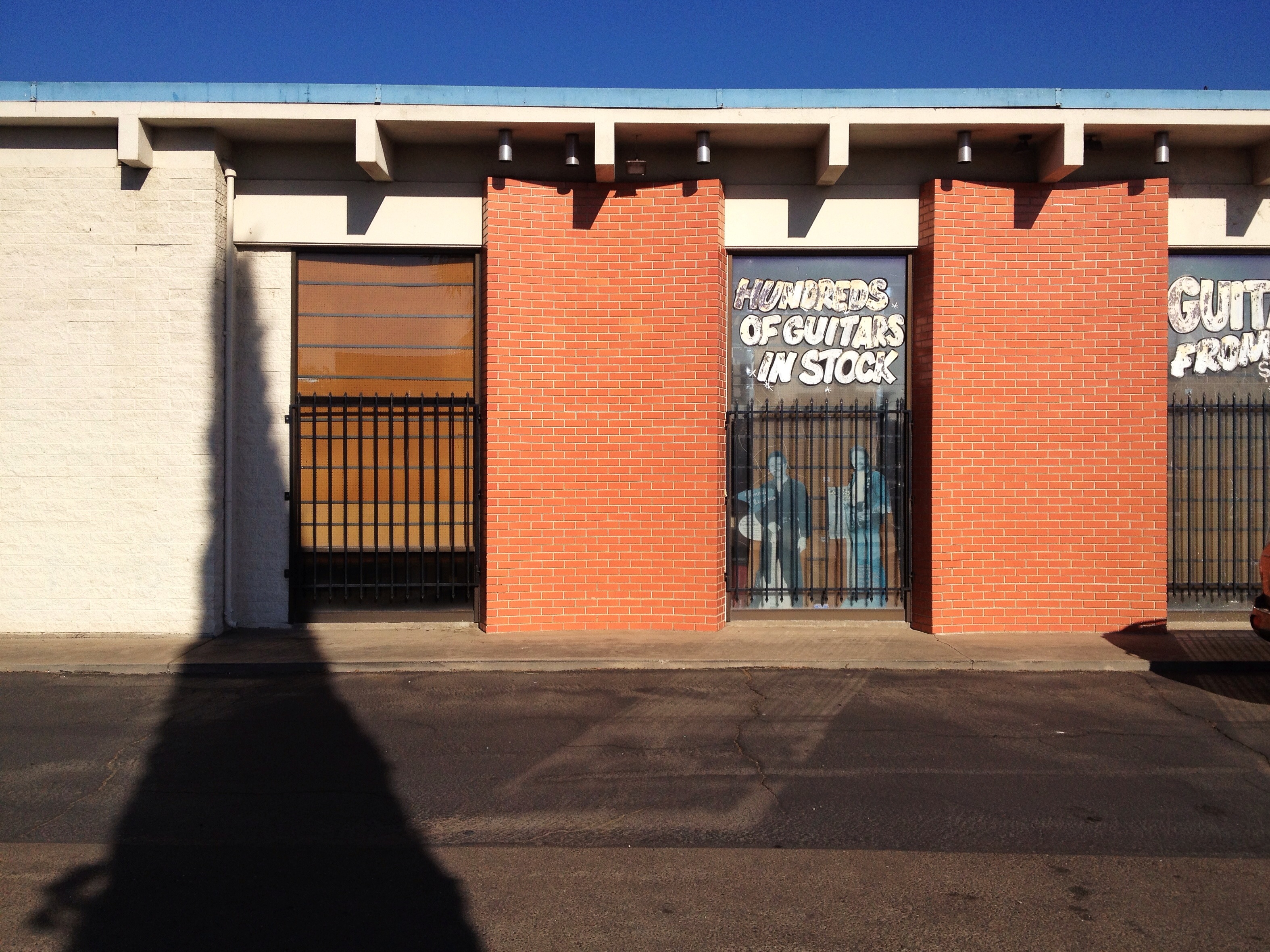
Hundreds of Guitars!

Ha! Got Your Nose!

Mexican Hot Dog
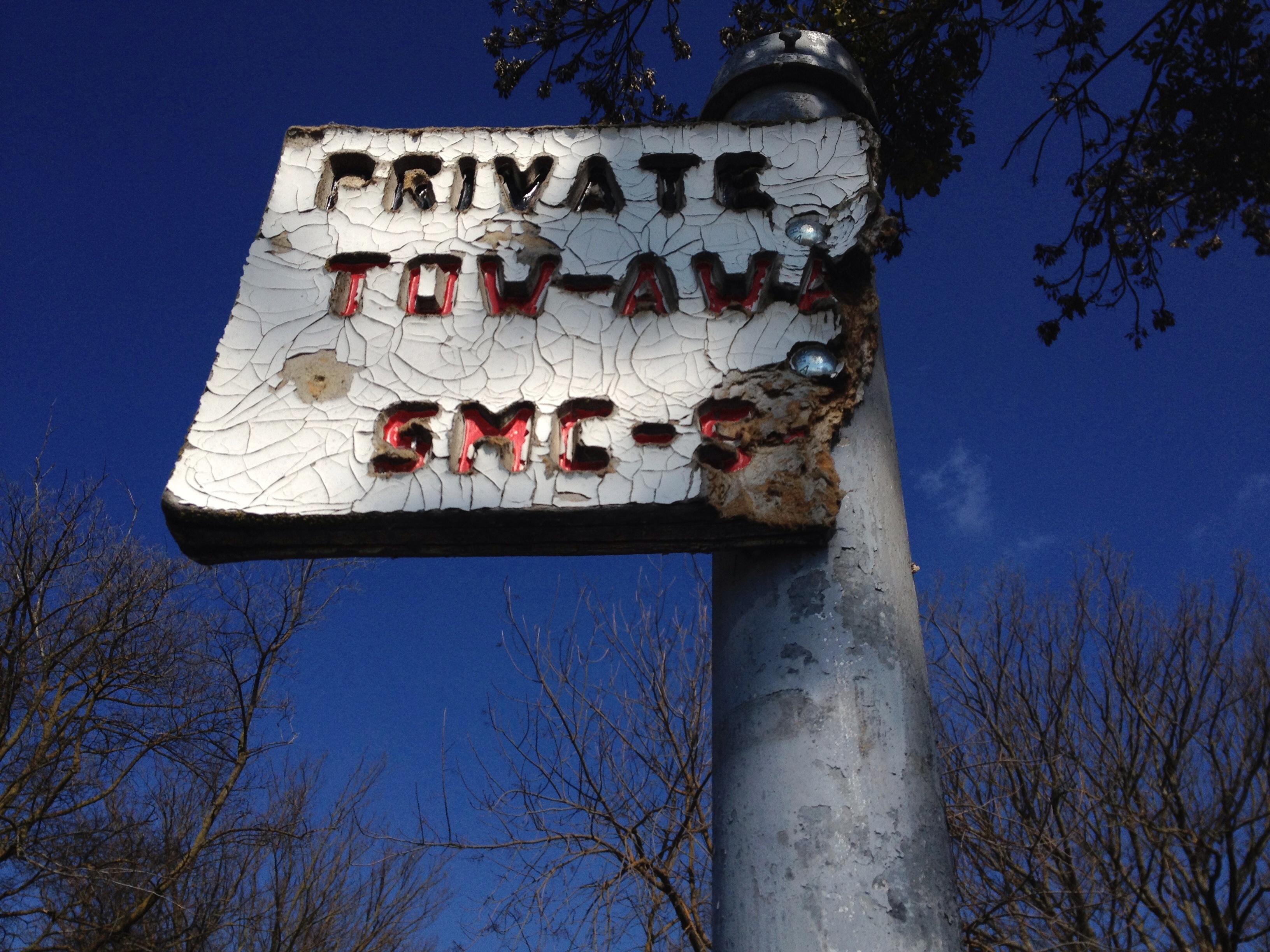
Tow -- Awa
Heartbeat of America
Lightning Strike
Room With A View
Compact Parking

Fresh! Hot!

Gutter Ball

Burning Bush

Moody Blues

Herald Blue

Loves me. Loves me not.

Barely Working

Hidden Dragon

Easter Green

Green Tea

End of Day

Across The Sky, Discovery Bay
Fossil Fuel
Topographic Map of W Rindge Rd, Stockton, CA, USA
Find elevation by address:

Places near W Rindge Rd, Stockton, CA, USA:
Windmill Cove Rd, Stockton, CA, USA
14900 W Hwy 12
1 Red Fox Ct, Lodi, CA, USA
Windmill Cove Rd, Stockton, CA, USA
10563 Seahorn Dr
10145 Berryessa Dr
Bear Creek
3717 Fort Donelson Dr
3902 Five Mile Dr
Lincoln Village West
6404 Cumberland Pl
3503 Harpers Ferry Dr
3803 Fourteen Mile Dr
Bear Creek High School
6470 Pine Meadow Cir
4177 Pebble Beach Dr
4423 Willow Rd
Spanos Park
4320 Pebble Beach Dr
4490 Windsweep Rd
Recent Searches:
- Elevation of Corso Fratelli Cairoli, 35, Macerata MC, Italy
- Elevation of Tallevast Rd, Sarasota, FL, USA
- Elevation of 4th St E, Sonoma, CA, USA
- Elevation of Black Hollow Rd, Pennsdale, PA, USA
- Elevation of Oakland Ave, Williamsport, PA, USA
- Elevation of Pedrógão Grande, Portugal
- Elevation of Klee Dr, Martinsburg, WV, USA
- Elevation of Via Roma, Pieranica CR, Italy
- Elevation of Tavkvetili Mountain, Georgia
- Elevation of Hartfords Bluff Cir, Mt Pleasant, SC, USA