Elevation of W Ridge Rd, Wytheville, VA, USA
Location: United States > Virginia > Wythe County > Wytheville >
Longitude: -81.1076624
Latitude: 36.9497599
Elevation: 728m / 2388feet
Barometric Pressure: 0KPa
Related Photos:
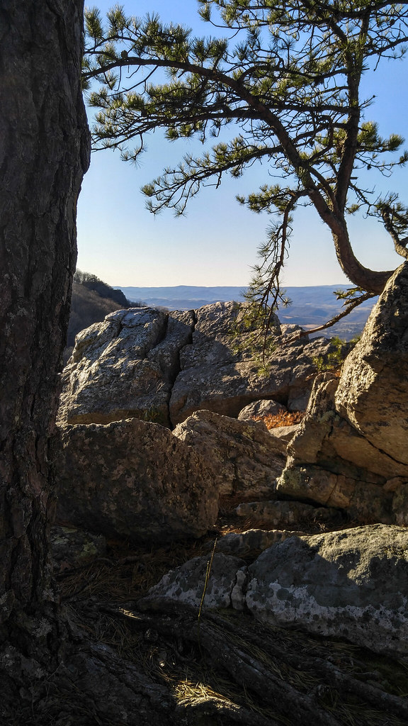
High Rocks Trail, Wytheville VA.

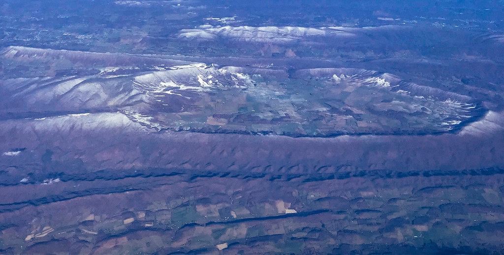
Flame Valley
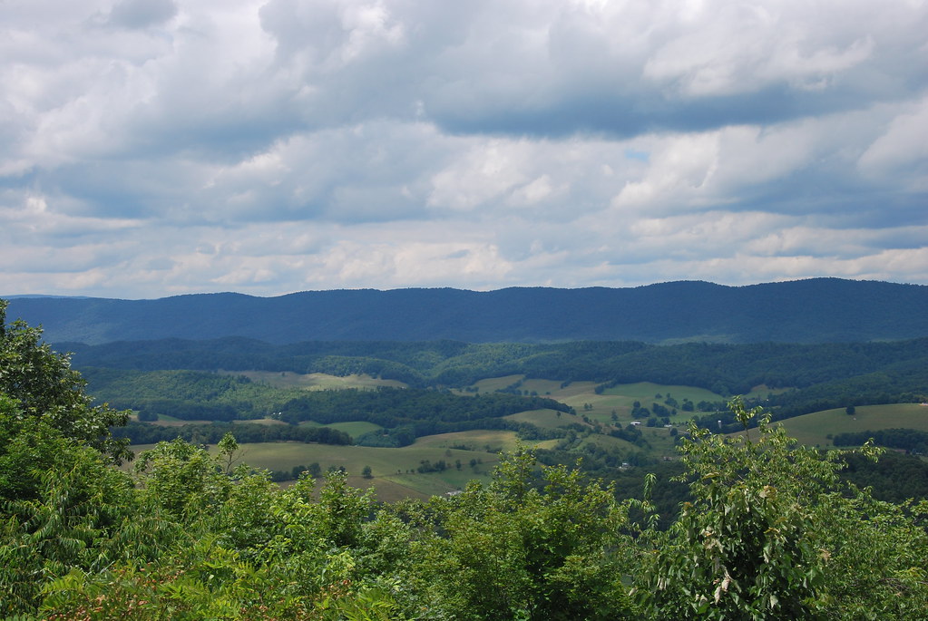
Aerial view of Blue Ridge Mountains and Shenandoah Valley near Blacksburg VA
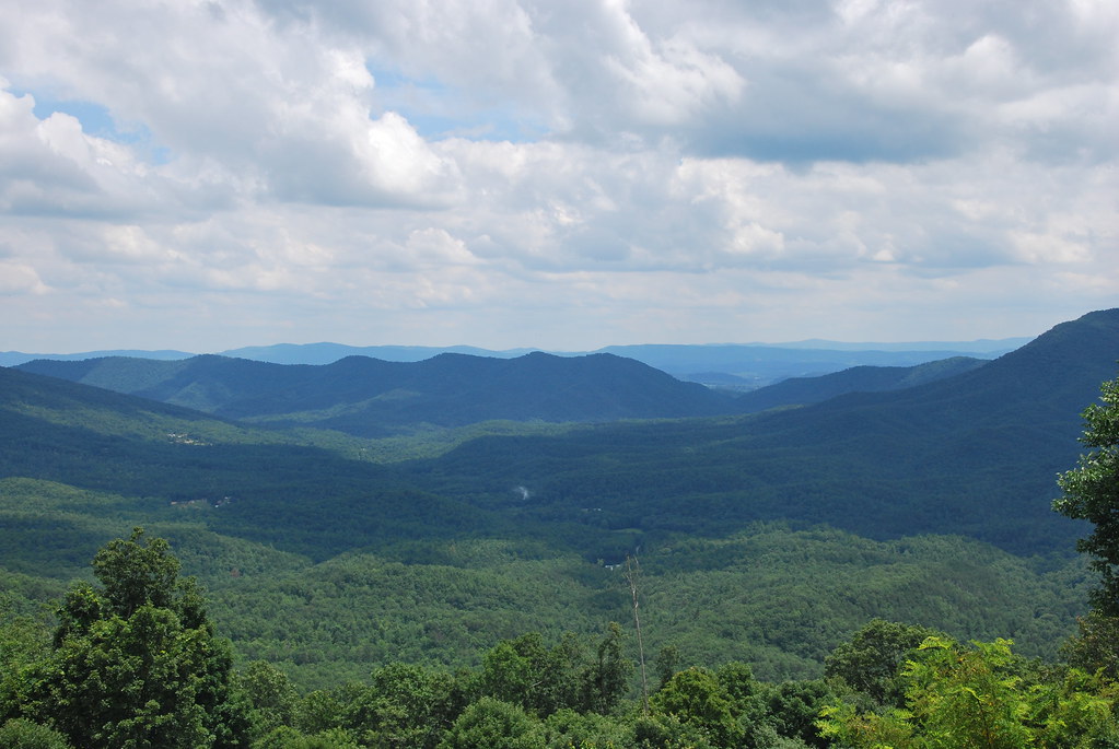
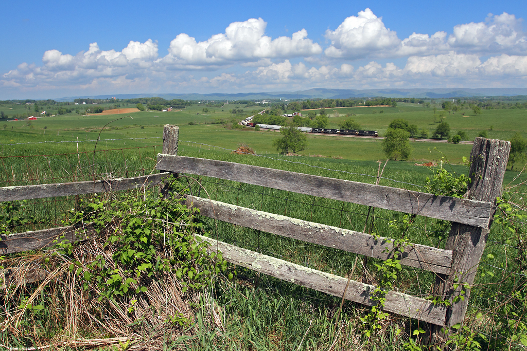
View from Big Walker Mountain
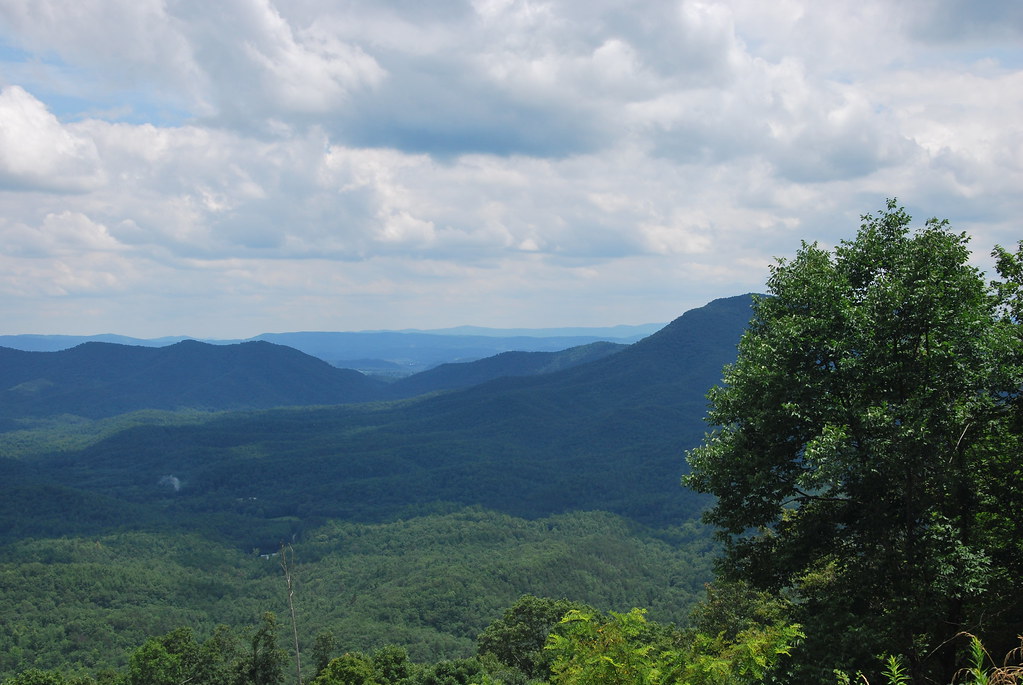
View from Big Walker Mountain
View from Big Walker Mountain

Hanging at High Rocks. Wytheville VA

View from roof of Bolling Wilson Hotel

View from roof of Bolling Wilson Hotel

View from the parking lot
Springtime at Crockett

Afternoon Rays on High Rocks

Bo', Snow, and CPL's
Rural Retreat

St. Paul's Lutheran Church

Countryside #landscapelovers #htcevo4glte #HTC #webstagram #statigram #gramfeed #instagram #instamood #instapic #instagood #instagramers #instagrammer #instagramhub #cloudlovers #cloudporn #skysnappers #skylovers

Wytheville,VA sunset16
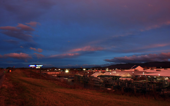
Wytheville,VA sunset17
From my Window
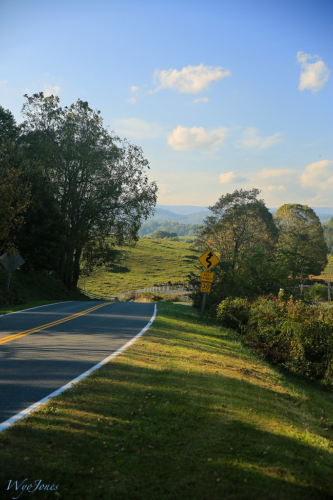
Rural Road

Sunrise this morning somewhere on our way home from the beach. Foggy.
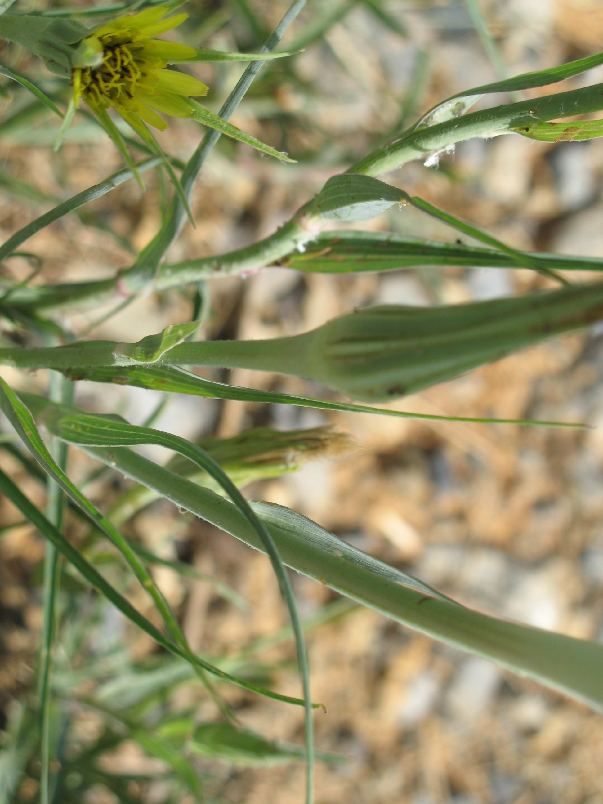
Yellow Goatsbeard - Tragopogon dubius

On the road.

Sunset at Crockett
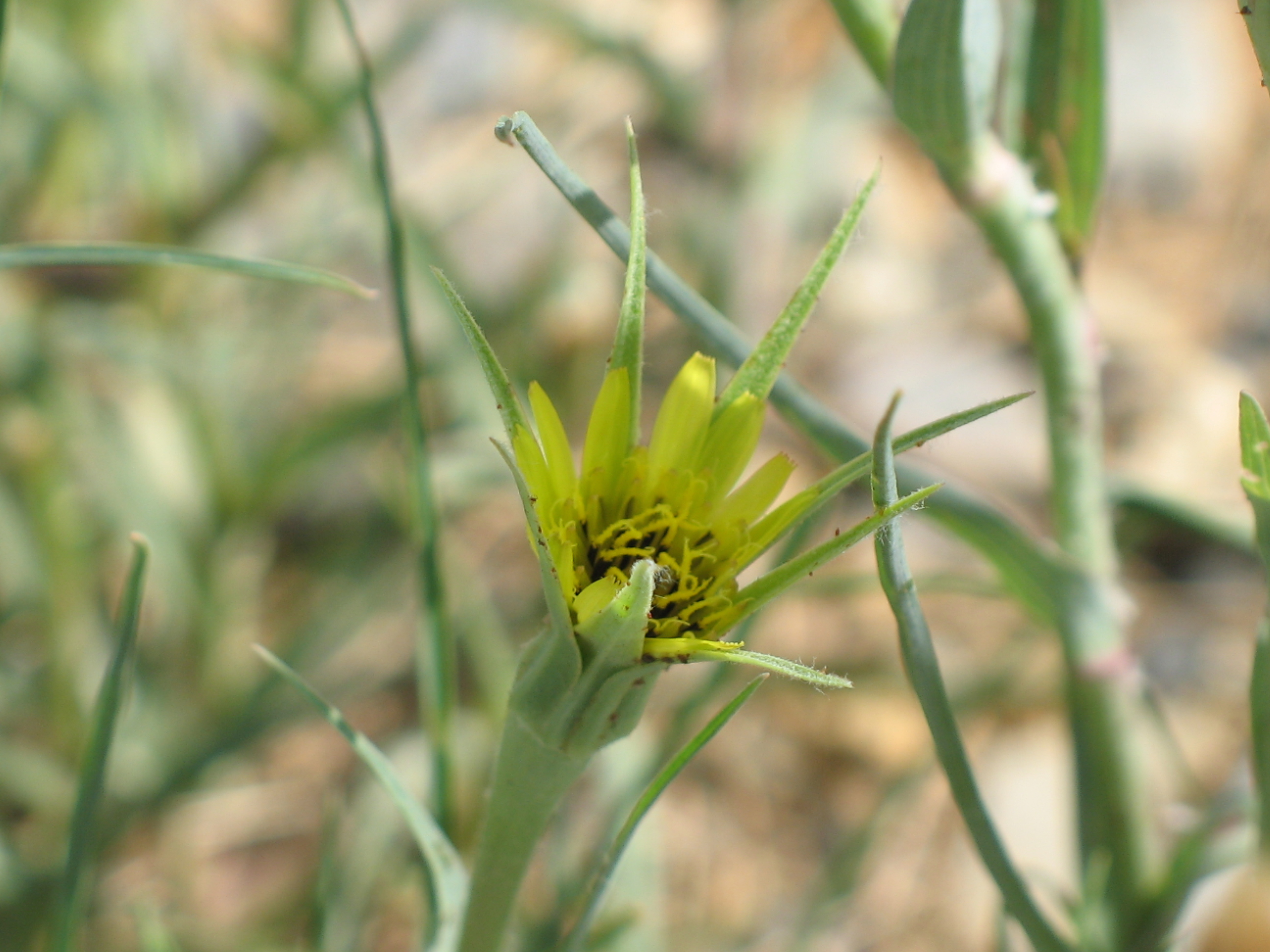
Yellow Goatsbeard - Tragopogon dubius

iPhone 4S

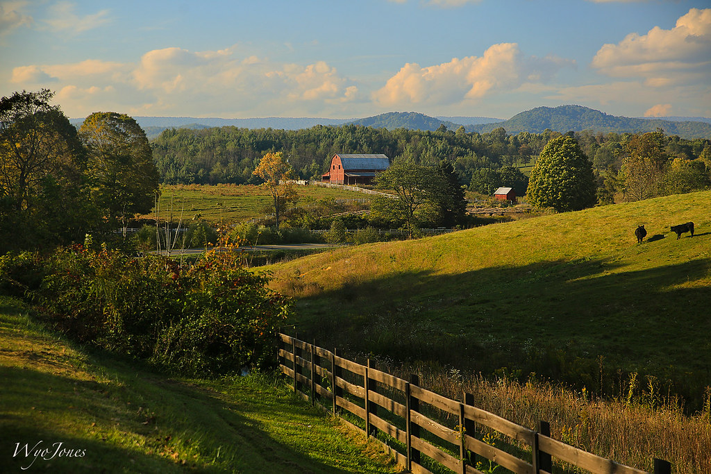
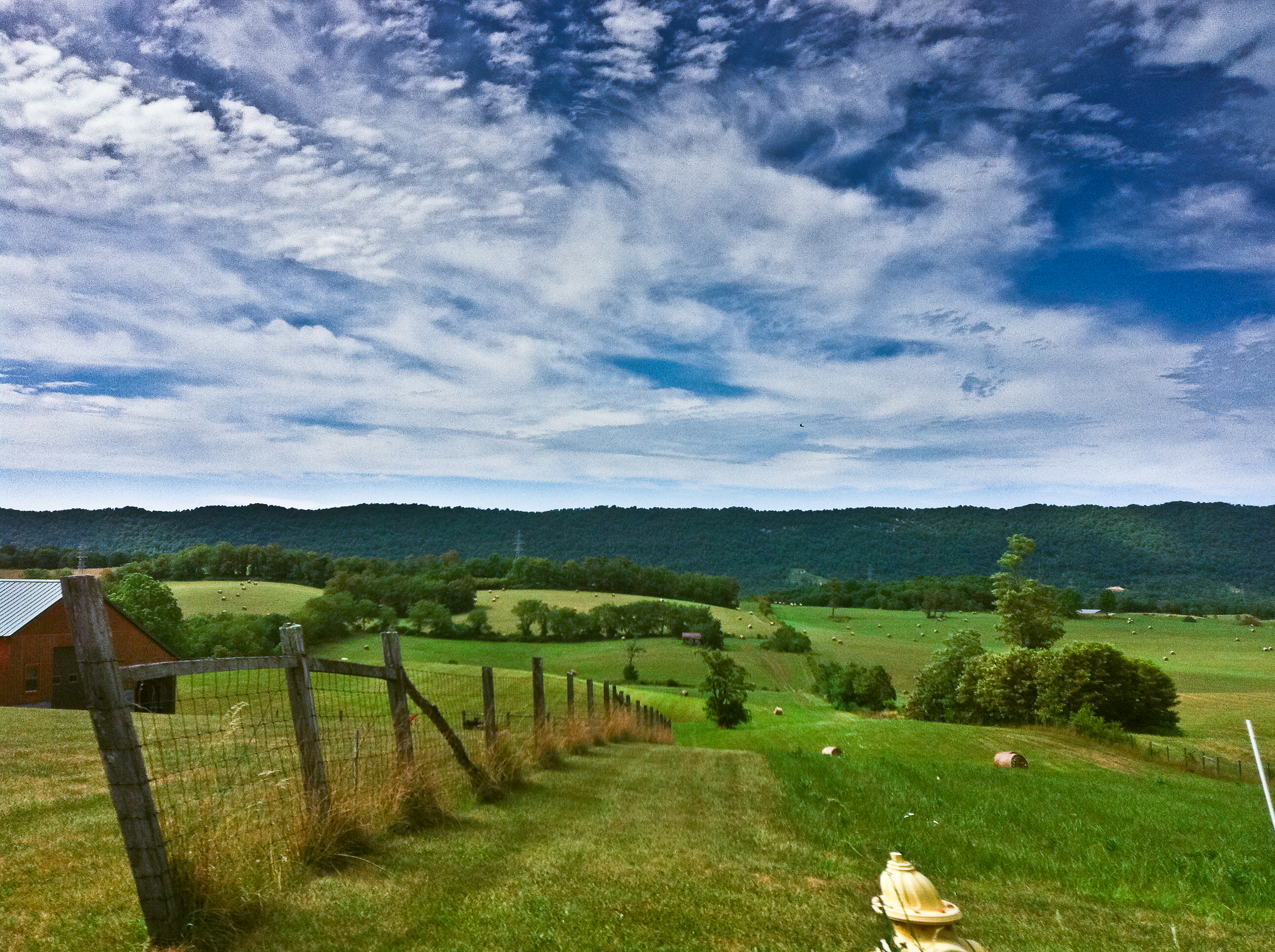
Virginia Farm
Topographic Map of W Ridge Rd, Wytheville, VA, USA
Find elevation by address:

Places near W Ridge Rd, Wytheville, VA, USA:
590 W Ridge Rd
250 Lakeview Dr
485 W Reservoir St
268 W Main St
Wythe County
Wytheville
610 S 4th St
Queens Knob Road
Queens Knob Road
685 Rose Hill Rd
264 N Wye Rd
264 N Wye Rd
Wohlfahrt Haus Dinner Theatre
2895 Fairview Pkwy
3040 Old Stage Rd
East Wytheville
167 Mountaintop Ln
167 Mountaintop Ln
167 Mountaintop Ln
VA-, Wytheville, VA, USA
Recent Searches:
- Elevation of Sullivan Hill, New York, New York, 10002, USA
- Elevation of Morehead Road, Withrow Downs, Charlotte, Mecklenburg County, North Carolina, 28262, USA
- Elevation of 2800, Morehead Road, Withrow Downs, Charlotte, Mecklenburg County, North Carolina, 28262, USA
- Elevation of Yangbi Yi Autonomous County, Yunnan, China
- Elevation of Pingpo, Yangbi Yi Autonomous County, Yunnan, China
- Elevation of Mount Malong, Pingpo, Yangbi Yi Autonomous County, Yunnan, China
- Elevation map of Yongping County, Yunnan, China
- Elevation of North 8th Street, Palatka, Putnam County, Florida, 32177, USA
- Elevation of 107, Big Apple Road, East Palatka, Putnam County, Florida, 32131, USA
- Elevation of Jiezi, Chongzhou City, Sichuan, China
- Elevation of Chongzhou City, Sichuan, China
- Elevation of Huaiyuan, Chongzhou City, Sichuan, China
- Elevation of Qingxia, Chengdu, Sichuan, China
- Elevation of Corso Fratelli Cairoli, 35, Macerata MC, Italy
- Elevation of Tallevast Rd, Sarasota, FL, USA
- Elevation of 4th St E, Sonoma, CA, USA
- Elevation of Black Hollow Rd, Pennsdale, PA, USA
- Elevation of Oakland Ave, Williamsport, PA, USA
- Elevation of Pedrógão Grande, Portugal
- Elevation of Klee Dr, Martinsburg, WV, USA