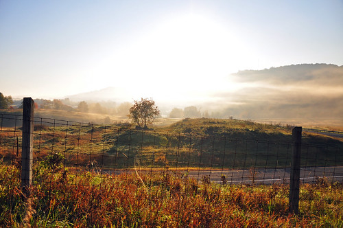
Elevation of W Reservoir St, Wytheville, VA, USA

Location: United States > Virginia > Wythe County > Wytheville >

Longitude: -81.090836

Latitude: 36.9505368

Elevation: 730m / 2395feet

Barometric Pressure: 93KPa

Elevation Map:

elevation map of W Reservoir St, Wytheville, VA, USA

Satellite Map:

Satellite map of W Reservoir St, Wytheville, VA, USA

Related Photos:

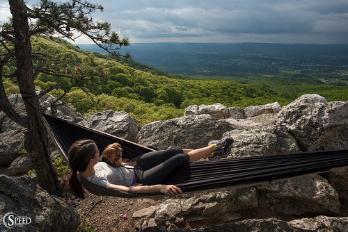
highrocks wythevillevirginia nikon20mm18 bigsurveywildlifemanagementarea nikond750 hikinginsouthwestvirginia wythecountyhikes
Hanging at High Rocks. Wytheville VA
square squareformat inkwell iphoneography instagramapp uploaded:by=instagram
#travel #wanderlust #trip #vacation #travelgram #holiday #instatravel #beautiful #travelling #instagood #vsco #photooftheday #tourism #usa #picoftheday #travelphotography #roadtrip #vscocam #view #traveling #summer #road #explore #driving #ontheroad #amer
square squareformat iphoneography instagramapp uploaded:by=instagram foursquare:venue=4be5f561d4f7c9b61d342620
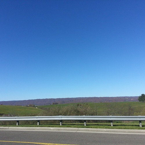
View from the parking lot
"Key Ingredients" restaurant, Max Meadows, VA
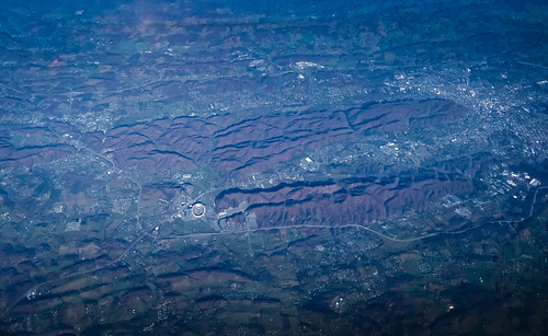
aerial view blue ridge mountains shenandoah valley near blacksburg va wytheville virginia unitedstates us vista allegheny blueridge mountain range
Aerial view of Blue Ridge Mountains and Shenandoah Valley near Blacksburg VA
square 10 squareformat 000 40million youtube subscribers iphoneography instagramapp uploaded:by=instagram foursquare:venue=4c1a2956834e2d7fc26b2b80
Thanks so much for all the views and subscribers!
travel winter usa snow ice breakfast bobevans wytheville i77
Winter will not let us escape his grasp
shenandoah valley wytheville virginia unitedstates us va aerial view vista allegheny blueridge mountain mountains range blue ridge tech university lane stadium blacksburg
Aerial view of Virginia Tech University Lane Stadium and Shenandoah Valley - Blacksburg VA
hotel wytheville
View from roof of Bolling Wilson Hotel
Yellow Goatsbeard - Tragopogon dubius
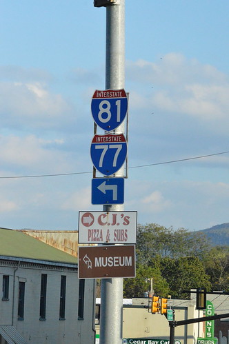
I-81 and I-77 shields Wytheville, VA
new blue sky 3 apple beautiful landscape virginia driving dof vibrant 4 sharp hills adobe lightroom iphone
From my Window
square squareformat iphoneography instagramapp uploaded:by=instagram
In the foothills of the Blue Ridge Mountains #virginia #america #mountains #sunrise #goodmorning #blueskies #travel #roadtrip #theroadlesstraveled #driving #igersbuffalo
road trees light sunset sun landscape virginia diamondclassphotographer canoneos40d canon40d
Wytheville,VA sunset16
flowers trees plants green fall love beauty autum wildlife fields
Virginia Fog
square squareformat iphoneography instagramapp uploaded:by=instagram foursquare:venue=4e07495ad22d658532a4db19
Driving through beautiful landscapes on an overcast day
square squareformat iphoneography instagramapp uploaded:by=instagram foursquare:venue=4e5fbbef14953b08f69f9e64
Sunrise this morning somewhere on our way home from the beach. Foggy.
uploaded:by=flickrmobile flickriosapp:filter=nofilter
iPhone 4S
photo.jpg
interstate81
I81 from Wytheville va
railroad tractor mountains rural virginia photo day farm clear decor crockett norfolksouthern
11-4455
sky mountains clouds barn virginia farm wytheville
Farm Detail
2009-07-03 - Soccer Camp (40)
beautiful rural virginia scene crockett 2013 historicoutdoorelevator
Barn Near Crockett
abandoned geotagged virginia chairlift bigwalkeroverlook geo:lat=37046203 geo:lon=81227245
DSC_2808.JPG
Zion Church Rd., Wythe County, Va
virginia cows
Hungry?
Ford on Johnny Lane