Elevation of W, Richland City, IN, USA
Location: United States > Indiana > Spencer County > Luce Township > Richland City >
Longitude: -87.224098
Latitude: 37.904912
Elevation: 119m / 390feet
Barometric Pressure: 100KPa
Elevation Map:
Satellite Map:
Related Photos:

Sunflower in an Open Field
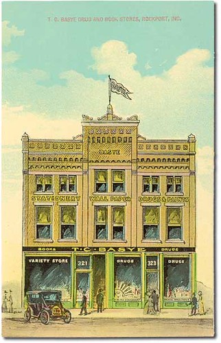
T. C. Basye Drug and Book Stores, Rockport, Indiana

Spencer County Court House and jail, Rockport, Indiana

Brush Strokes And Silhouettes II

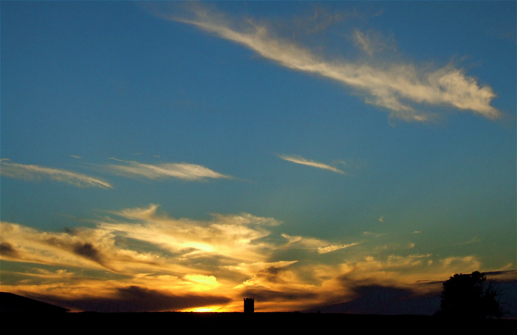
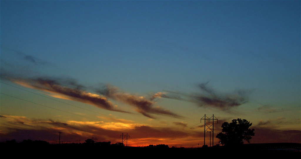
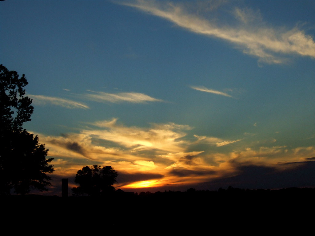
Bluegrass Sunset
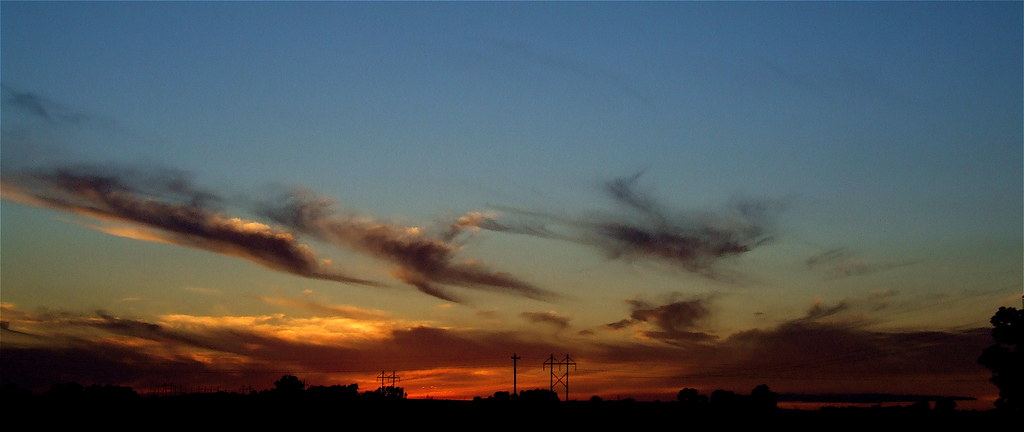
Brush Strokes And Silhouettes V

Kentucky Sky

It's fall

Summer Evening
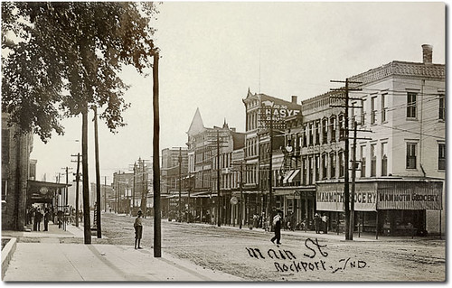
Main Street looking west, Rockport, Indiana
Brush Strokes And Silhouettes III
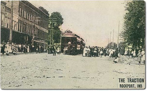
Trolleys on Main Street, Rockport, Indiana
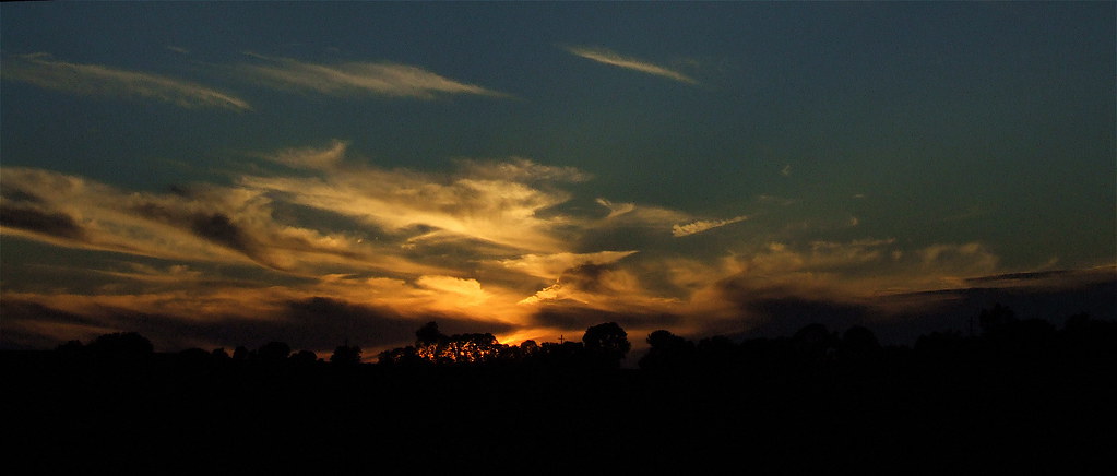
A Painted Sunset
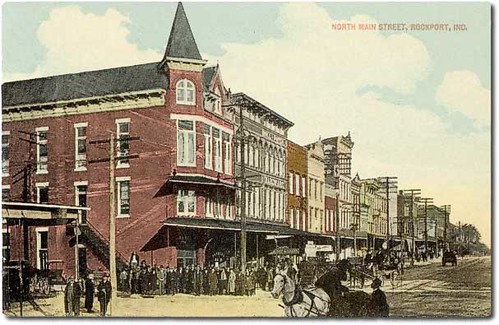
Main Street looking east, Rockport, Indiana

Victoria National Golf Course - 18th Hole View From Tee Box
Brush Strokes And Silhouettes IV
Brush Strokes And Silhouettes I
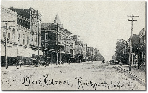
Main Street looking east, Rockport, Indiana

Victoria National Golf Course - 14th Hole (6-Inch Tee Marker)
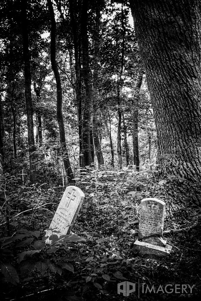
Abandoned - Cemetery

Abandoned - Cemetery

long gone

Lonely Tree
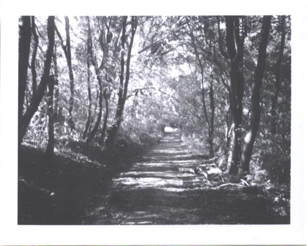
the beaten path
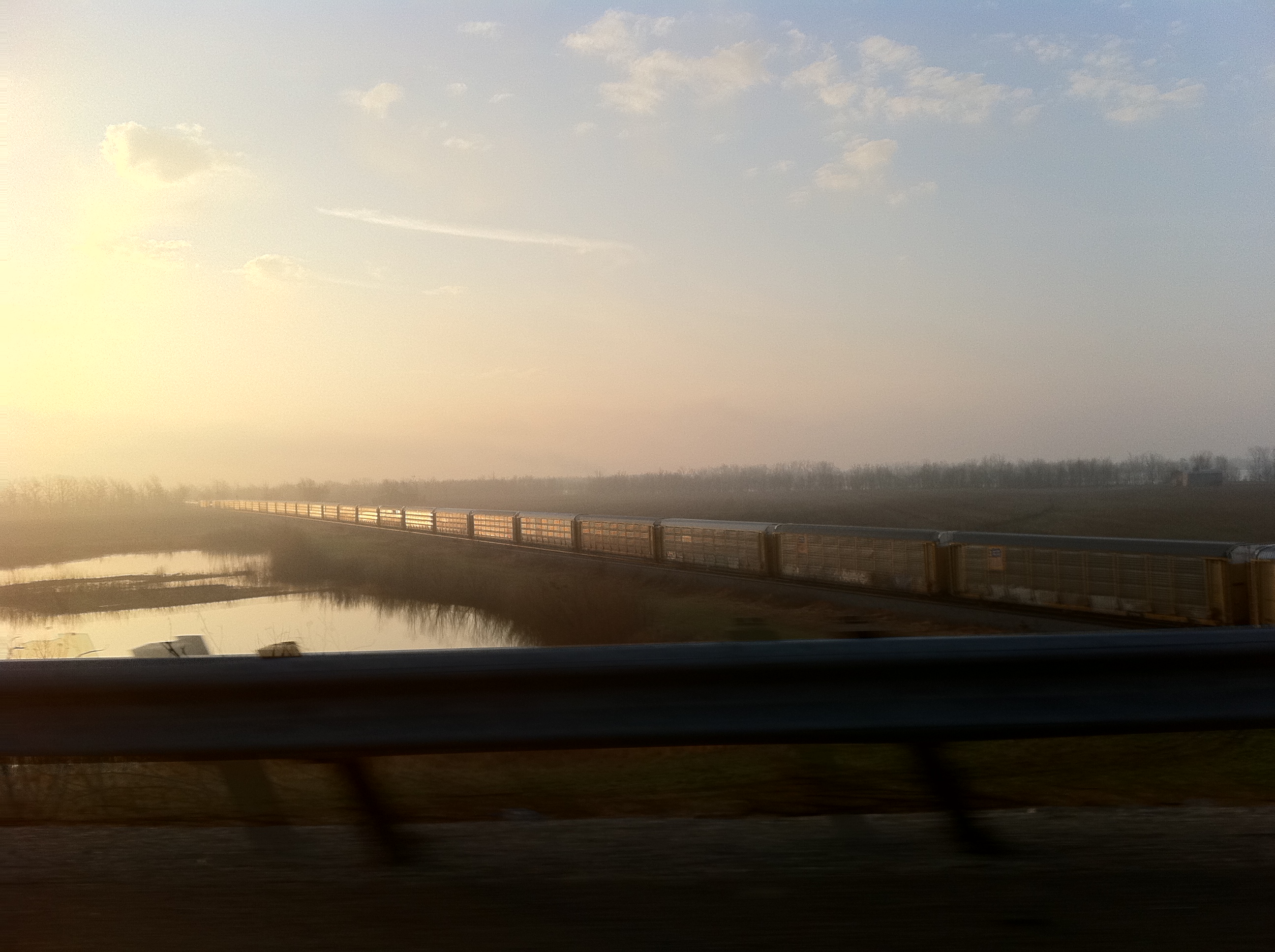
Sunrise from a viaduct with train

Indiana.
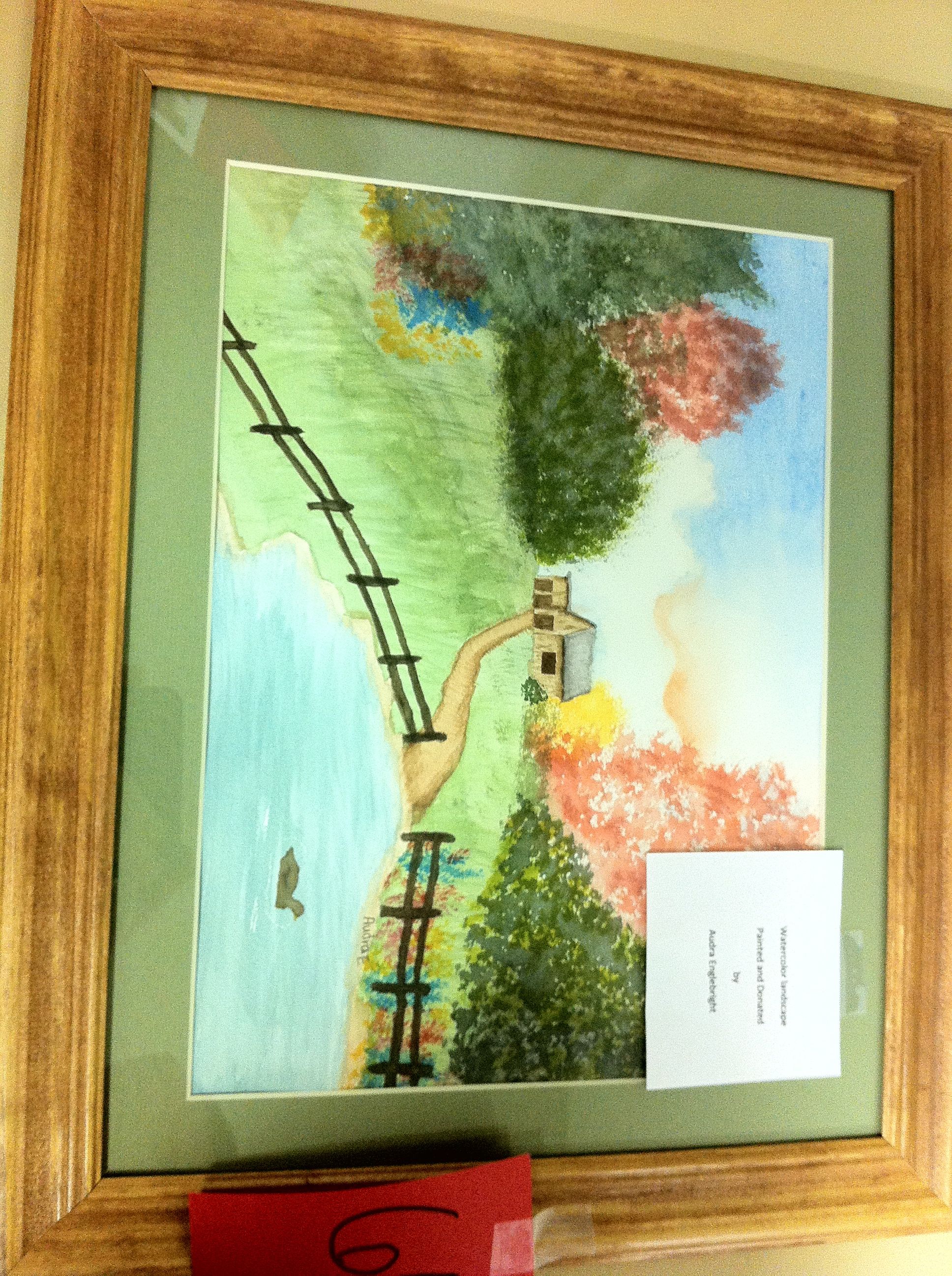
Aurda's Landscape

Red Barn

Rural KY Scene
Topographic Map of W, Richland City, IN, USA
Find elevation by address:

Places near W, Richland City, IN, USA:
300 900 W
Luce Township
S Boner Rd, Boonville, IN, USA
Lerch Rd, Newburgh, IN, USA
Anderson Township
Church St, Owensboro, KY, USA
US-60, Owensboro, KY, USA
4000 In-66
Alcoa Warrick Operations
KY-, Reed, KY, USA
Eble Rd, Newburgh, IN, USA
6188 In-66
W Sr 66, Newburgh, IN, USA
6433 Acadia Dr
7244 Shady Oak Dr
4700 Darlington Rd
15 Riverbend Ct
12 Riverbend Ct
Newburgh
Spottsville
Recent Searches:
- Elevation of Corso Fratelli Cairoli, 35, Macerata MC, Italy
- Elevation of Tallevast Rd, Sarasota, FL, USA
- Elevation of 4th St E, Sonoma, CA, USA
- Elevation of Black Hollow Rd, Pennsdale, PA, USA
- Elevation of Oakland Ave, Williamsport, PA, USA
- Elevation of Pedrógão Grande, Portugal
- Elevation of Klee Dr, Martinsburg, WV, USA
- Elevation of Via Roma, Pieranica CR, Italy
- Elevation of Tavkvetili Mountain, Georgia
- Elevation of Hartfords Bluff Cir, Mt Pleasant, SC, USA