Elevation of W Paul Spur Rd, Douglas, AZ, USA
Location: United States > Arizona > Cochise County > Douglas >
Longitude: -109.72629
Latitude: 31.365223
Elevation: 1281m / 4203feet
Barometric Pressure: 87KPa
Elevation Map:
Satellite Map:
Related Photos:

Mail Box

Blue Lights

Pack Dog

Black Knob View

Five Frames - 1/6/2016 - Galaxy Tab4

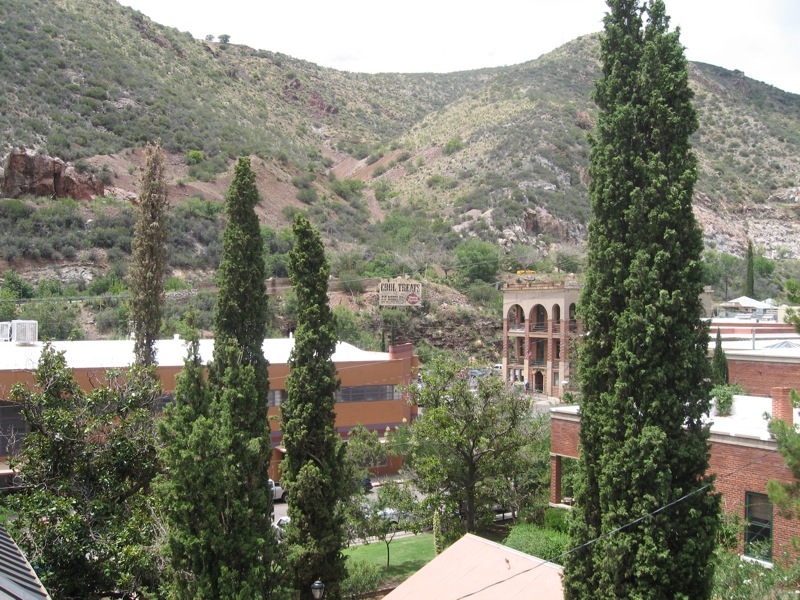
Bisbee, Az

In the middle of nowhere, not far from our home. #Warren #Bisbee #border #Arizona #desert #mountains
Agua Prieta, Sonora, Mexico
Rock shelves
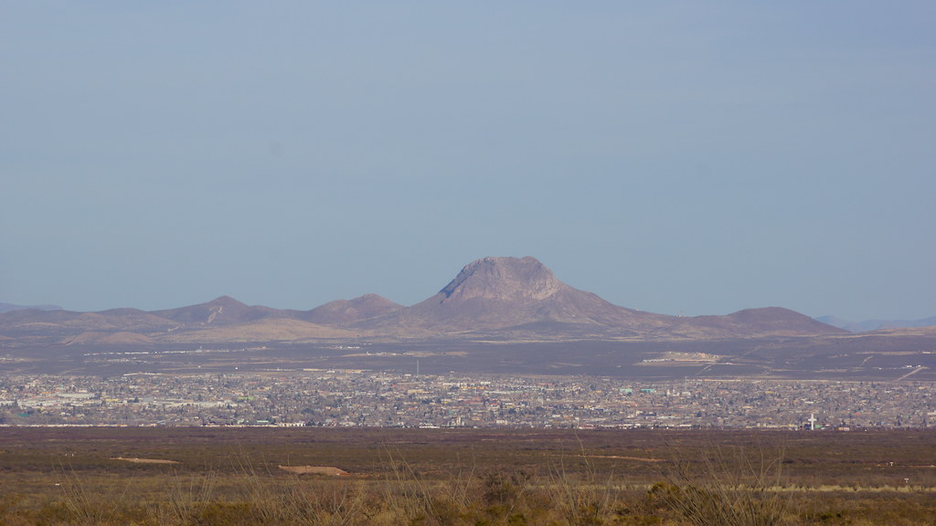
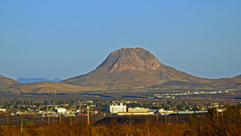
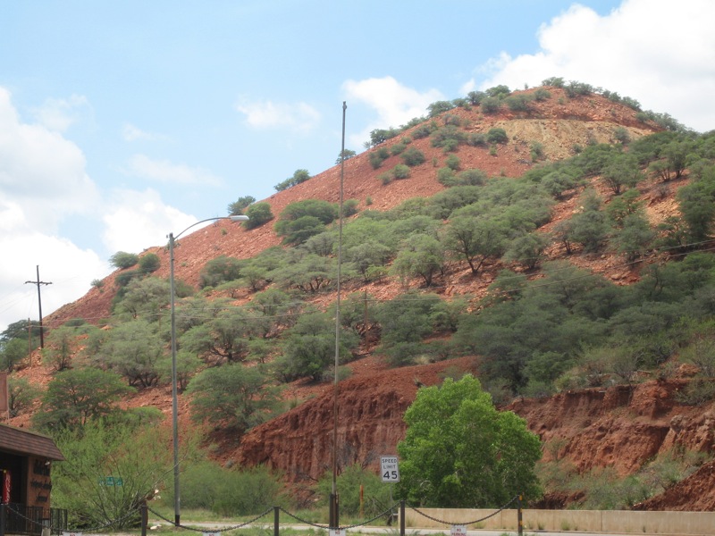
Western mountain
DSC04239 (1)
Sedona?

Far Horizon
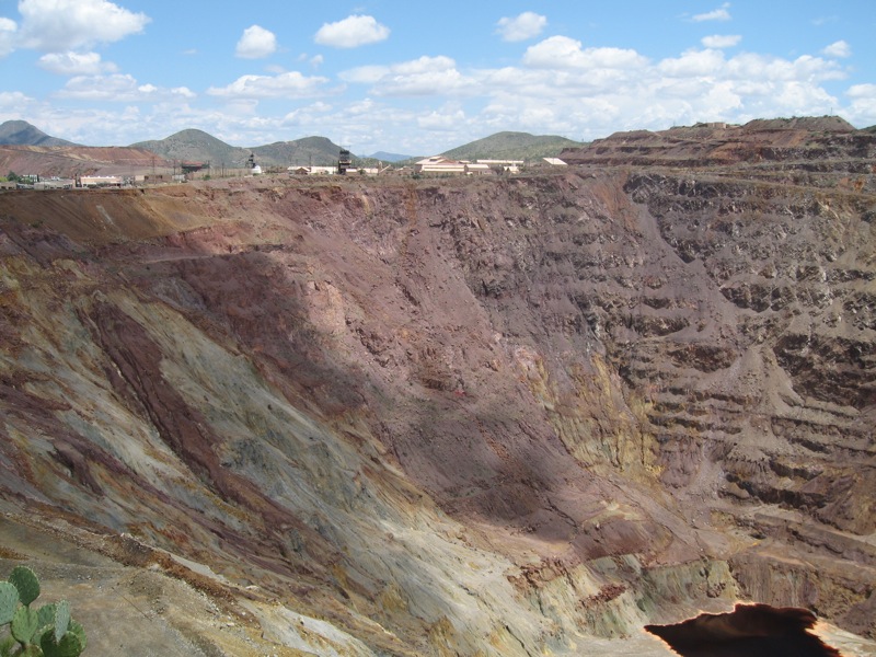
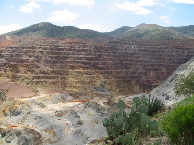
Lavender Pit Western Edge
Lavender Pit
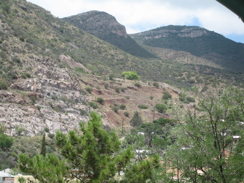
Looking Northwest
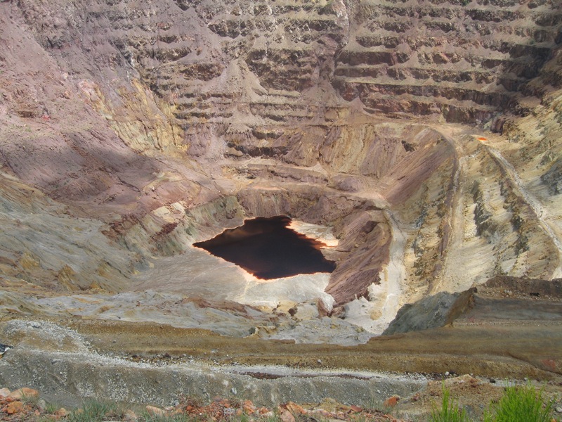
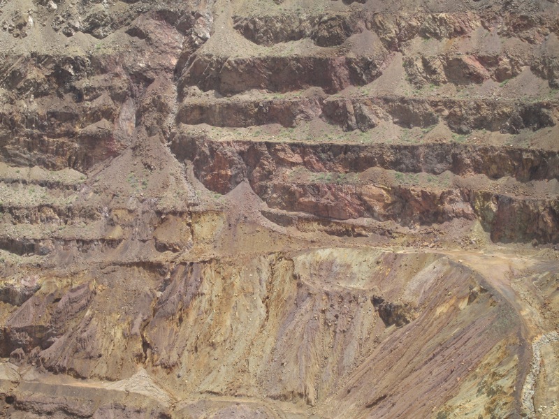
Bottom of the Lavender Pit
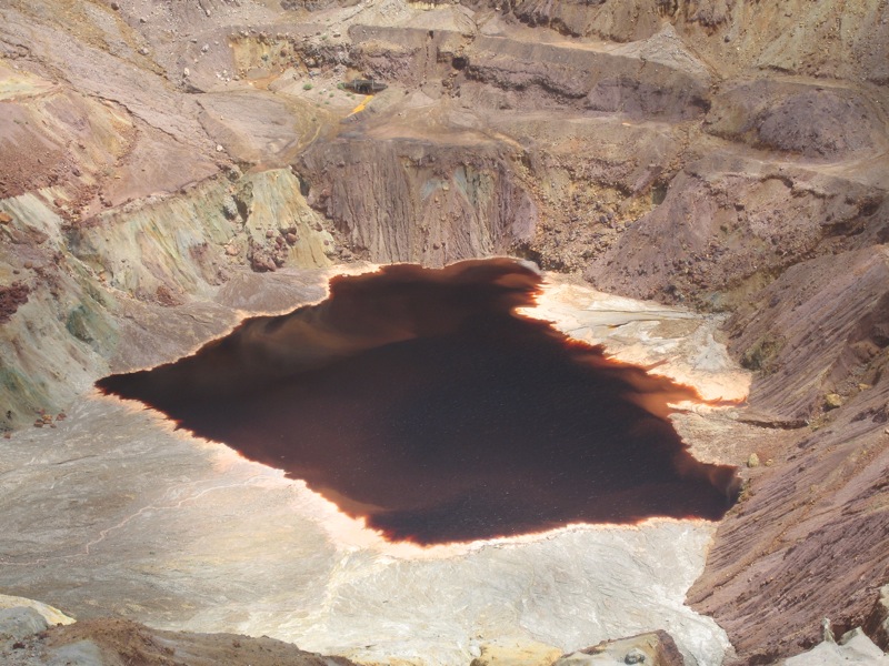
Ugly pond
Silver City

The Hidden Valley - Droid Maxx / Snapseed
Topographic Map of W Paul Spur Rd, Douglas, AZ, USA
Find elevation by address:

Places near W Paul Spur Rd, Douglas, AZ, USA:
36 Yuma Trail
Arizona St, Bisbee, AZ, USA
Clawson St, Bisbee, AZ, USA
401 Cole Ave
401 W Vista
Bisbee Rd, Bisbee, AZ, USA
S Durango Ave, Bisbee, AZ, USA
Bisbee, AZ, USA
987 Az-92
San Jose Dr, Bisbee, AZ, USA
South Dalewood Road
24 Main St
The Inn At Castle Rock
130 Tombstone Canyon
Higgins Hill Walk
928 S Coy St
111 Higgins Ave
37 Laundry Hill Rd
443 Roberts Ave
Bisbee
Recent Searches:
- Elevation of Corso Fratelli Cairoli, 35, Macerata MC, Italy
- Elevation of Tallevast Rd, Sarasota, FL, USA
- Elevation of 4th St E, Sonoma, CA, USA
- Elevation of Black Hollow Rd, Pennsdale, PA, USA
- Elevation of Oakland Ave, Williamsport, PA, USA
- Elevation of Pedrógão Grande, Portugal
- Elevation of Klee Dr, Martinsburg, WV, USA
- Elevation of Via Roma, Pieranica CR, Italy
- Elevation of Tavkvetili Mountain, Georgia
- Elevation of Hartfords Bluff Cir, Mt Pleasant, SC, USA