Elevation of W Main St, Council Grove, KS, USA
Location: United States > Kansas > Morris County > Council Grove >
Longitude: -96.491543
Latitude: 38.6609426
Elevation: 378m / 1240feet
Barometric Pressure: 97KPa
Elevation Map:
Satellite Map:
Related Photos:
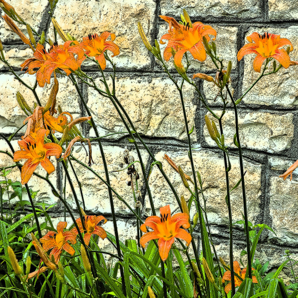
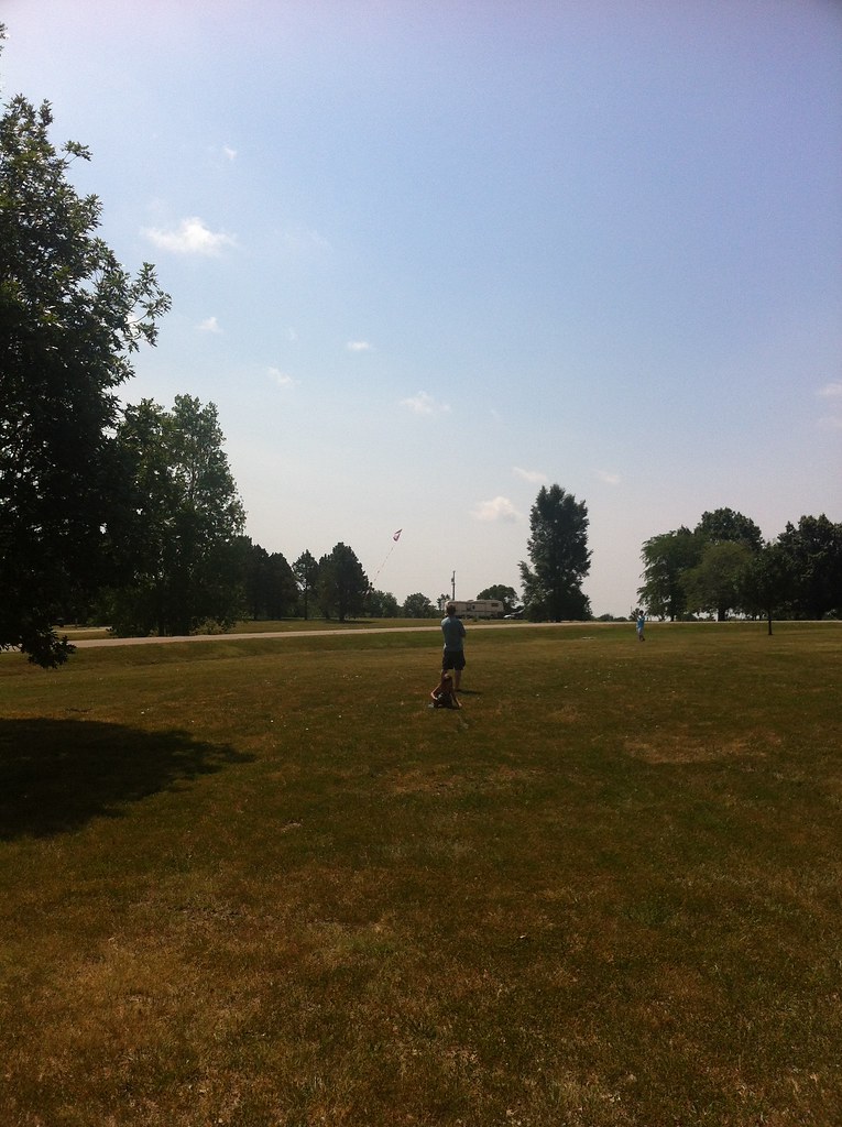
Tiger Lilies

Lonely Trees

In Morris County
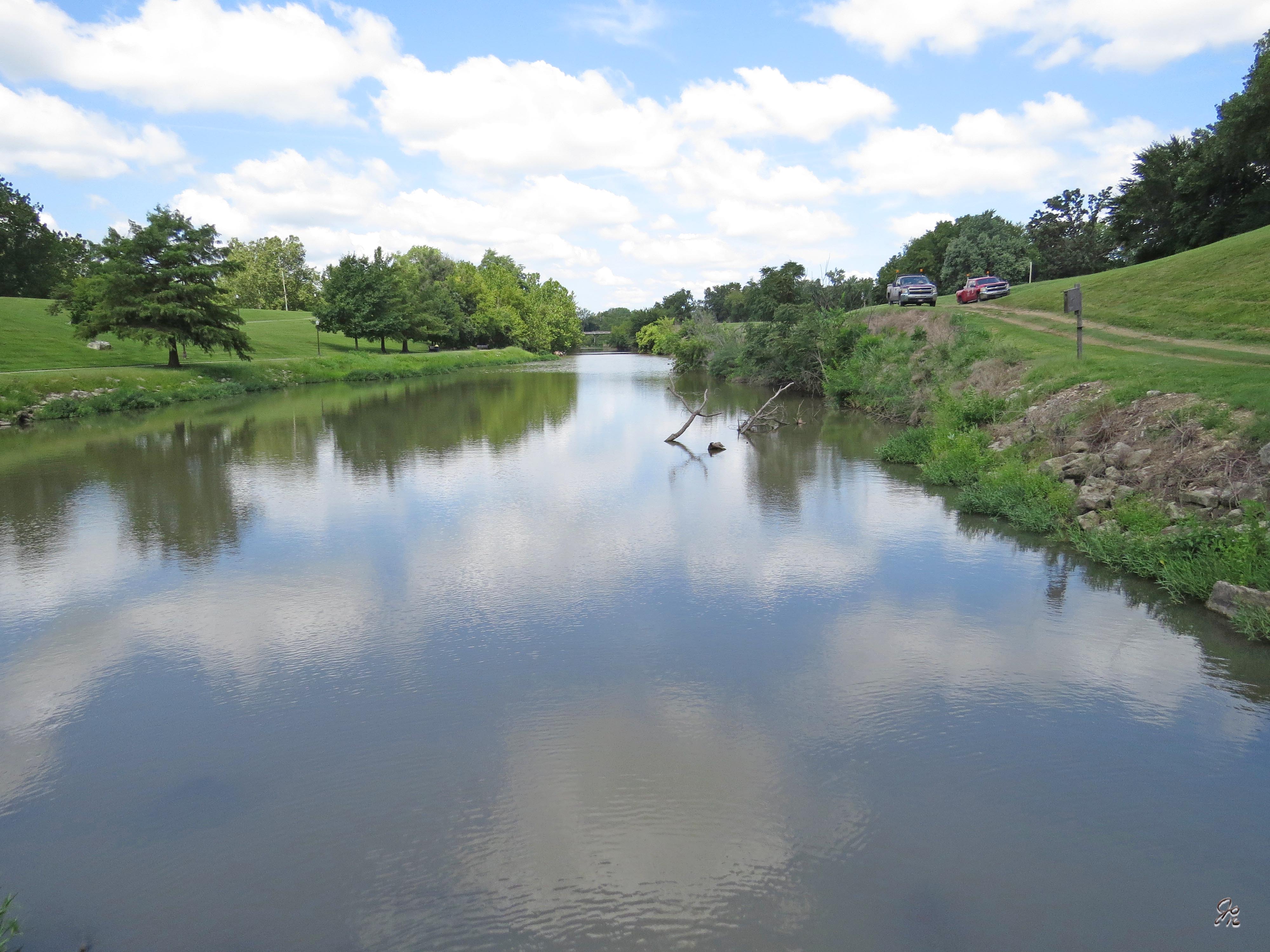
Neosho River and Walk
Camera Roll-3086

neosho river
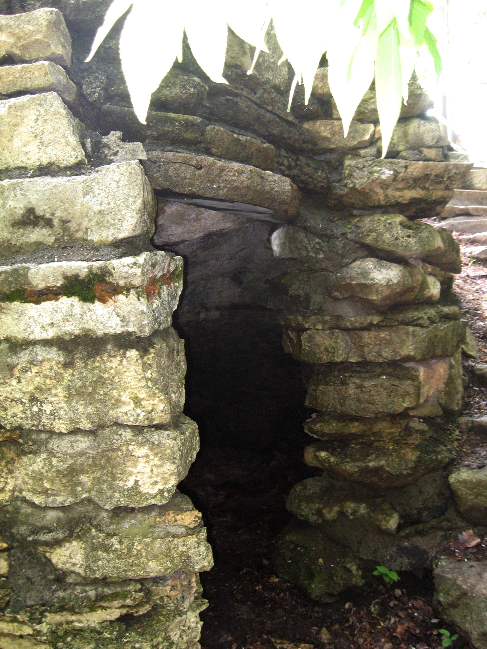
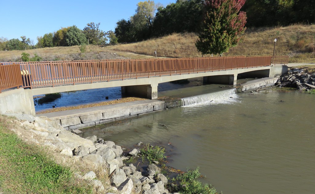
Hermit's Cave

neosho river
Camera Roll-3087
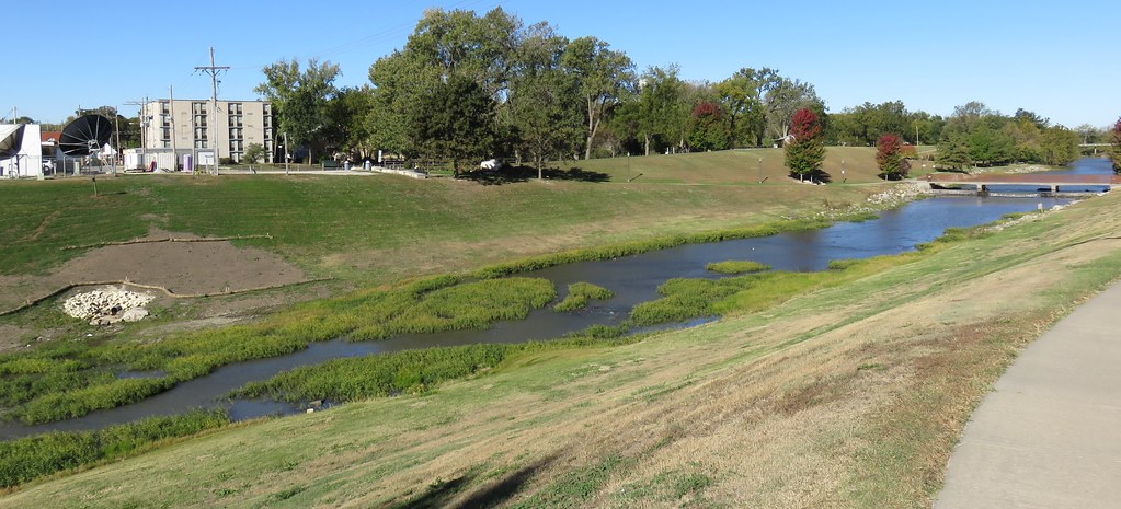
Neosho River (Council Grove, Kansas)
Neosho River (Council Grove, Kansas)

Neosho River (Council Grove, Kansas)

061115_92_Flint Hills, KS

061115_78_Flint Hills, KS

061115_86_Flint Hills, KS

061115_87_Flint Hills, KS

061115_96_Flint Hills, KS

061115_88_Flint Hills, KS

061115_95_Flint Hills, KS

061115_94_Flint Hills, KS
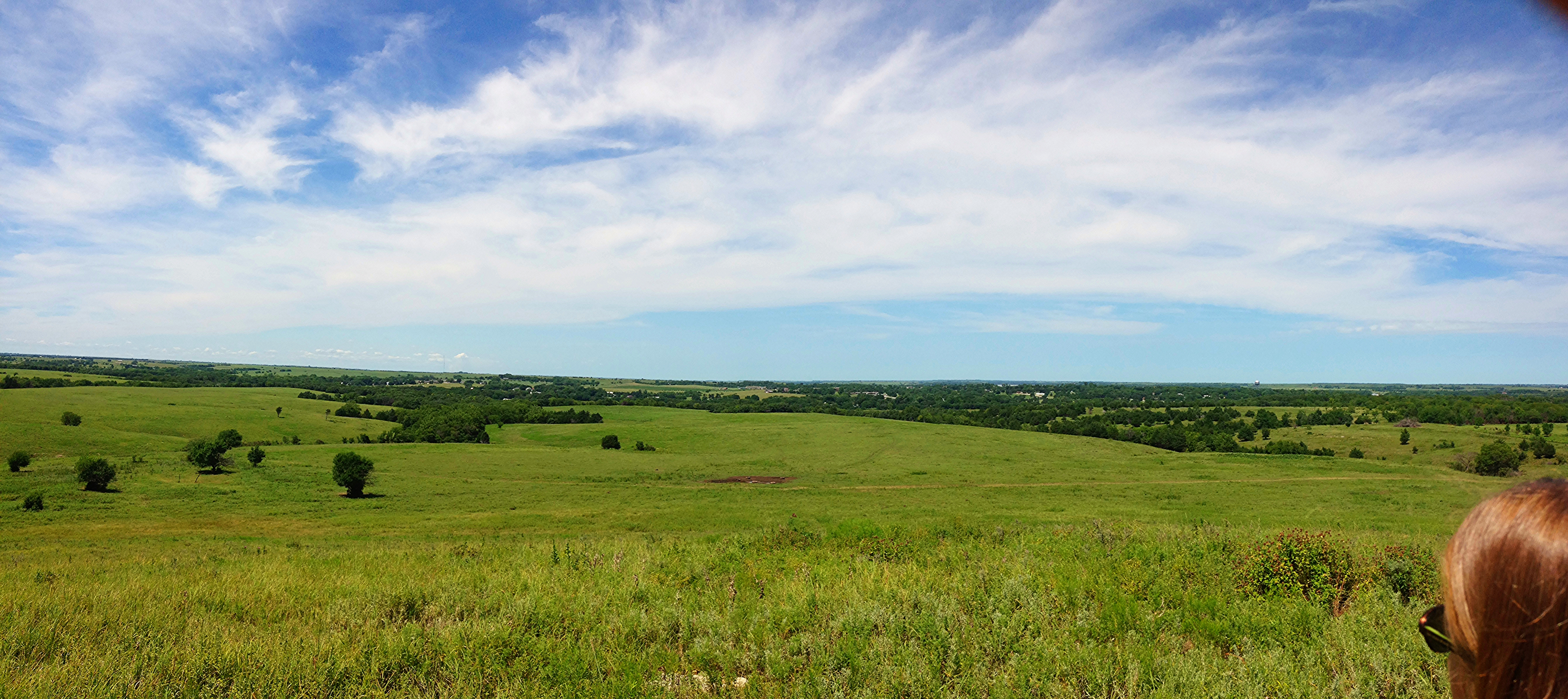
Council Grove tour

Driving the Flint HIlls
Topographic Map of W Main St, Council Grove, KS, USA
Find elevation by address:

Places near W Main St, Council Grove, KS, USA:
Council Grove
Dollar General
Morris County
Olive-Parkerville St, White City, KS, USA
Agnes City
Americus
Bb Ave, Burdick, KS, USA
Allen, KS, USA
Americus
Locust St, Americus, KS, USA
White City
S Pine St, Cottonwood Falls, KS, USA
Cottonwood Falls
Rd B2, Emporia, KS, USA
Volland Rd, Alma, KS, USA
5, KS, USA
Allen
2823 Rd L
Falls
8, KS, USA
Recent Searches:
- Elevation of Corso Fratelli Cairoli, 35, Macerata MC, Italy
- Elevation of Tallevast Rd, Sarasota, FL, USA
- Elevation of 4th St E, Sonoma, CA, USA
- Elevation of Black Hollow Rd, Pennsdale, PA, USA
- Elevation of Oakland Ave, Williamsport, PA, USA
- Elevation of Pedrógão Grande, Portugal
- Elevation of Klee Dr, Martinsburg, WV, USA
- Elevation of Via Roma, Pieranica CR, Italy
- Elevation of Tavkvetili Mountain, Georgia
- Elevation of Hartfords Bluff Cir, Mt Pleasant, SC, USA